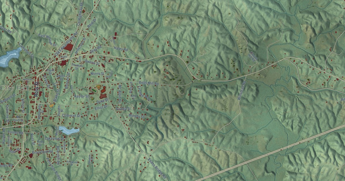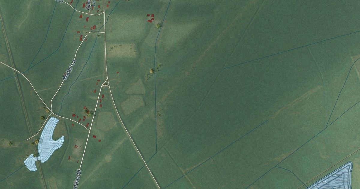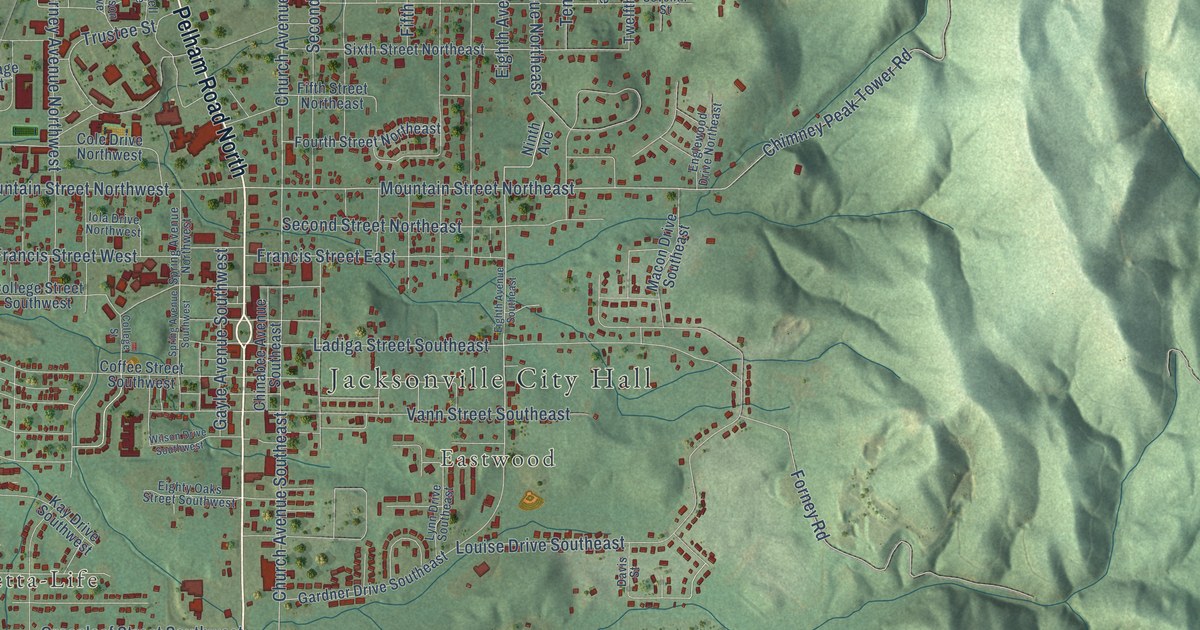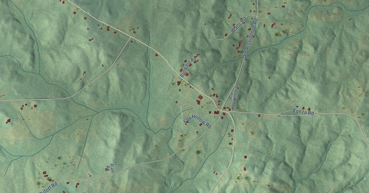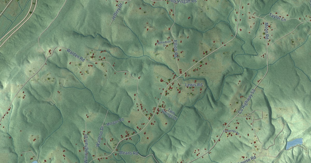
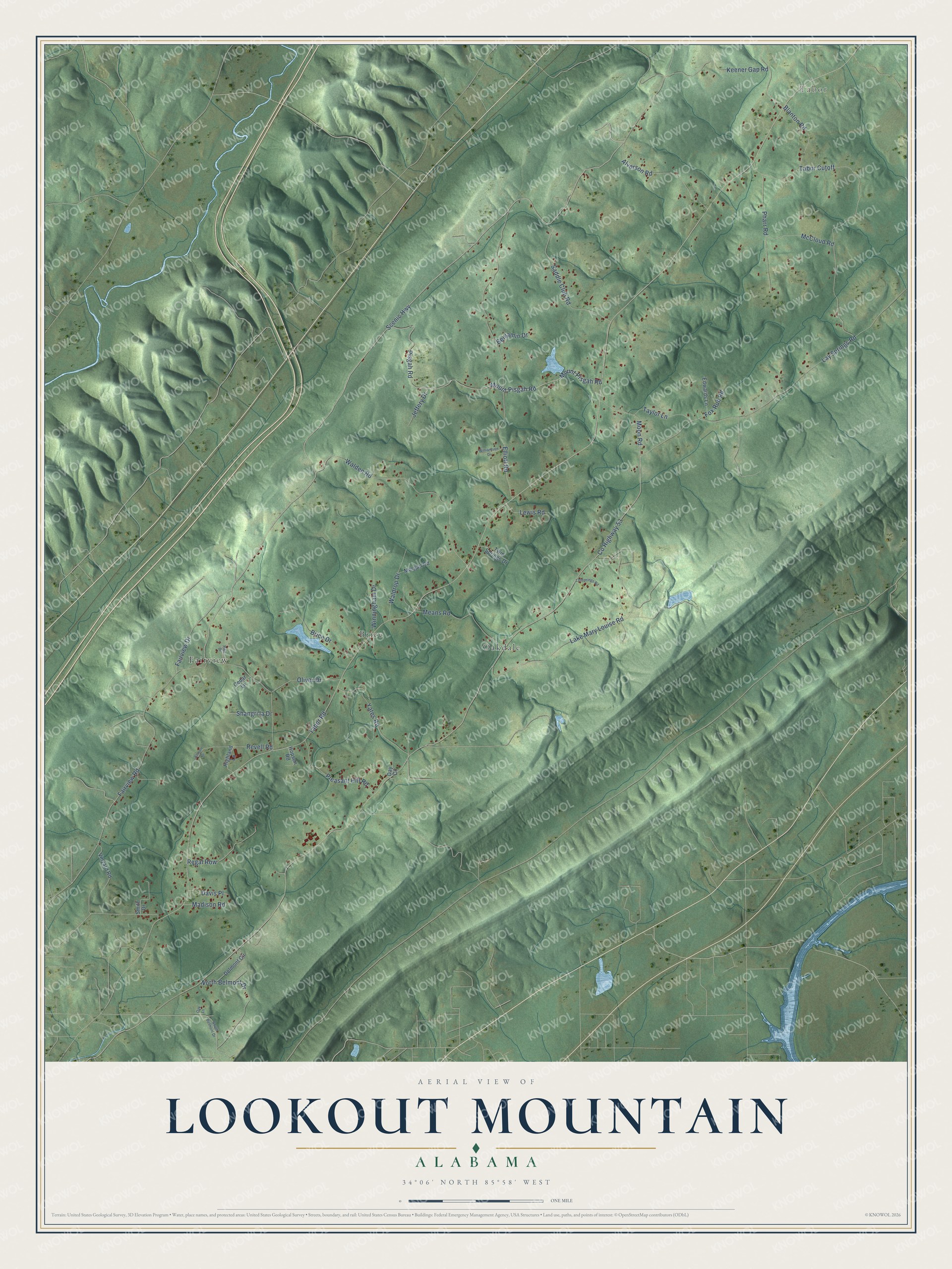
This beautifully detailed map of Lookout Mountain, Alabama was created in 2026 using aerial imagery combined with modern topographical, census, street and landmark data. It’s a one-of-a-kind view of Lookout Mountain that combines accurate data with a vintage aesthetic. The map shows every building in its true location, many of the roads carry their names, and the shaded topographic relief shows the shape of the land.
Explore an aerial view of Lookout Mountain, Alabama
On the map you’ll find Tabor, Fairview, Oakdale, and Brice, along with Scenic Highway, Tabor Road, Lay Springs Road, County Highway 53, Fairview Road, Elliott Road, Mount Pisgah Road, Pisgah Road, and more. If you look closely you can even find your house accurately drawn in its correct location. Zoom in on the preview to look for yours.
Did You Know?
Fairview Baptist Church on Lookout Mountain began in the log cabin Fairview schoolhouse and was declared a church on July 6, 1855. The cabin had one door, a stick and dirt chimney and log seats, and candles lit its first revival. Members built a log church in 1860, then a wooden church in 1887 with timber and labor they gave themselves. The present church was dedicated in September 1933, and members again gave much of the timber and labor to build it. That's from the Northeast Alabama Genealogical Society.
Take a closer look at the Lookout Mountain map
Names on this map
These names are printed on this map.
Places: Tabor, Fairview, Oakdale and Brice.
Streets and roads: Scenic Highway, Tabor Road, Lay Springs Road, County Highway 53, Fairview Road, Elliott Road, Mount Pisgah Road, Pisgah Road, Lake Mary Louise Road, Tabor Cutoff, Walden Road, Keener Gap Road.
More street names, A to Z
Alverson Road, Benjamin Drive, Blanton Road, Brice Drive, Cedar Lane, Davis Place, Day Circle, Delmont Circle, Edwards Lane, Ellison Drive, Fairview Drive, Fox Run Road, Highland Lane, Hopson Road, Jeffery Drive, Laysprings Road, Lewis Road, Madison Road, McCloud Road, Means Road, Moon Road, Morgan Road, North Belmont Drive, Oak Lane, Oliver Drive, Pharr Road, Pike Drive, Pleasant Hill Road, Regal Row, Revell Road, Saddle Club Road, Shangri la Drive, Smith Drive, South Belmont Drive, Taylor Lane, Twin Springs Drive, Vinyard Road, Waldrop Drive, Williamson Drive, Winningham Drive, Yates Road.
See it on a wall
The Lookout Mountain map as a framed print. Swipe for more.


This beautifully detailed map of Lookout Mountain makes an attractive addition to your office, library, or den, and it can even be used to teach children the geography and history of the area. It also makes a great gift for anyone with Lookout Mountain roots. When you’re done exploring, click here to get your copy of the Lookout Mountain map.