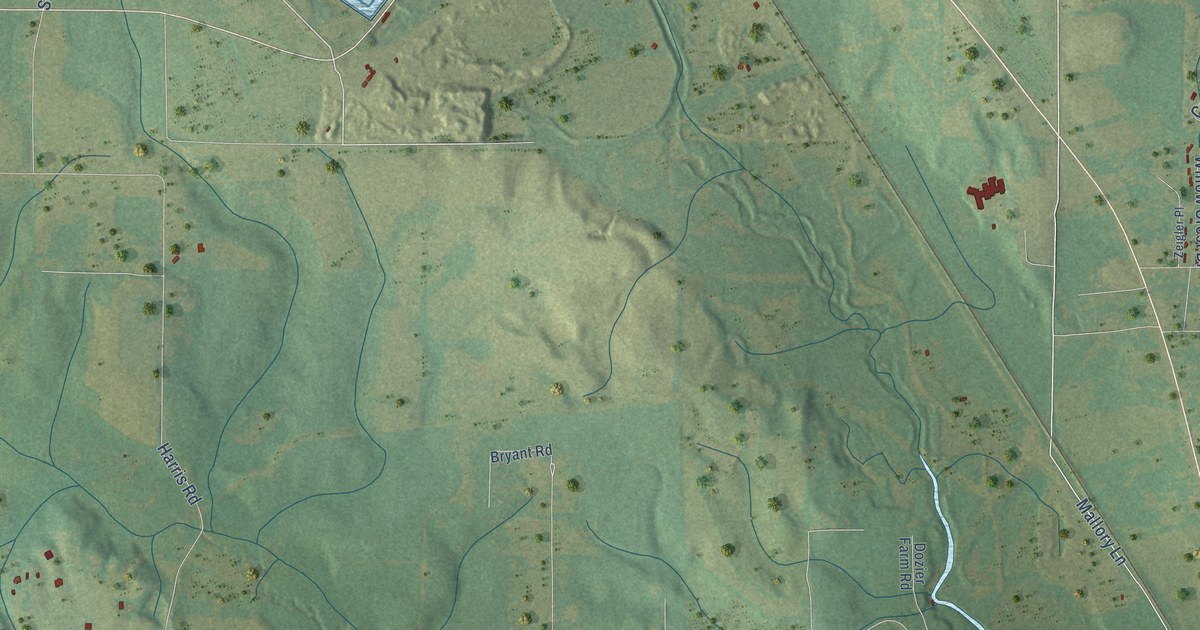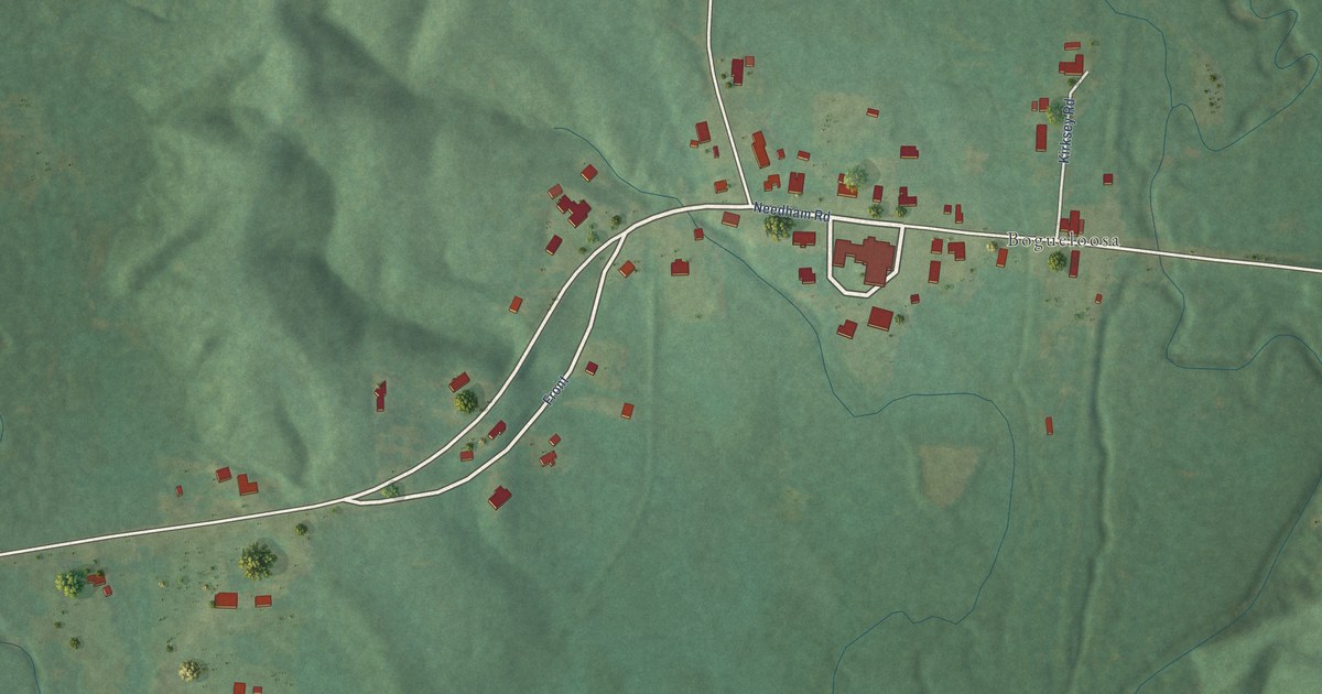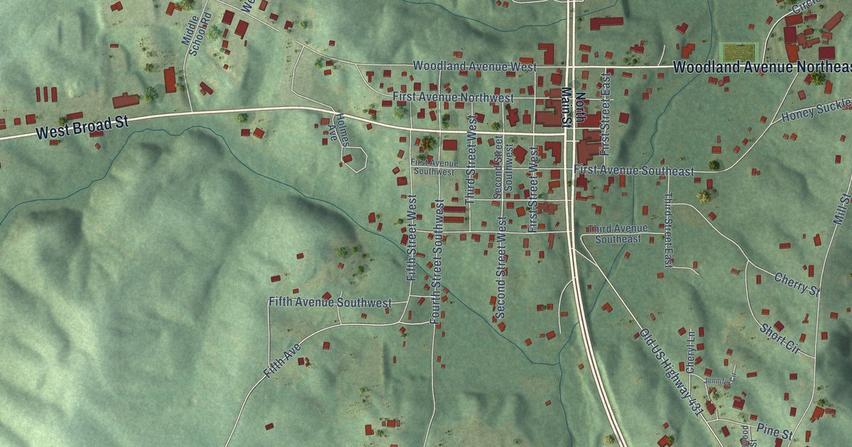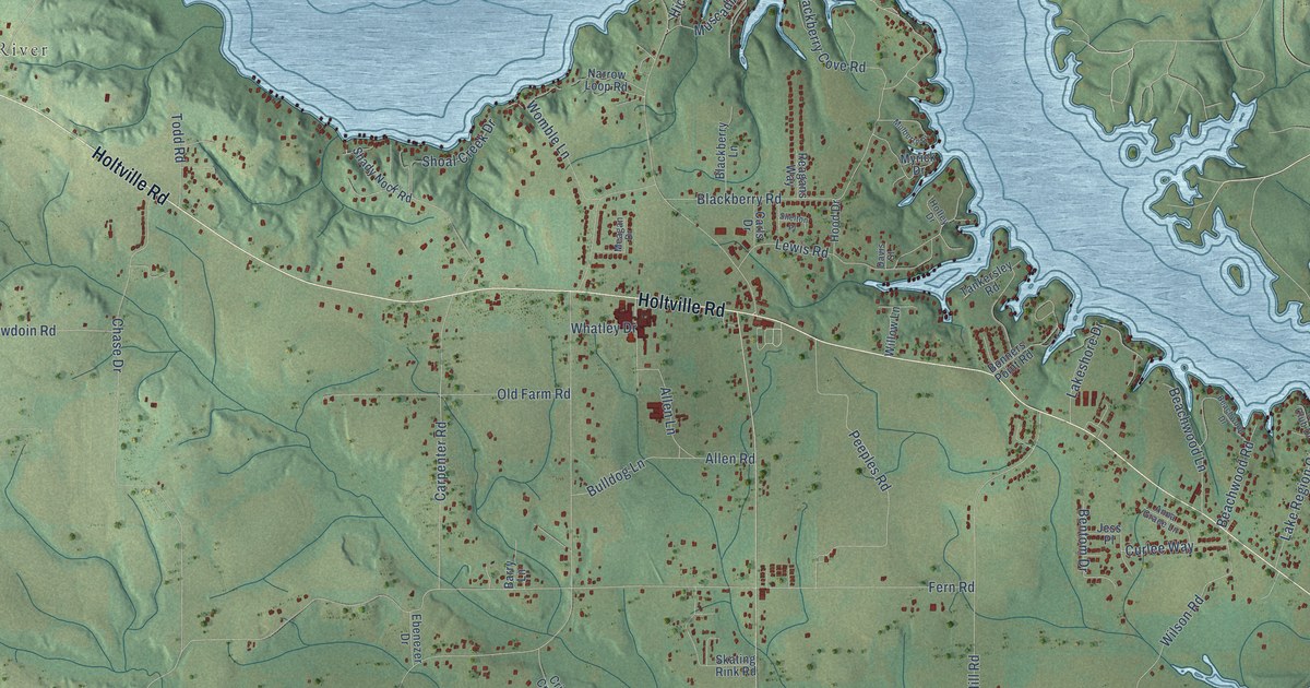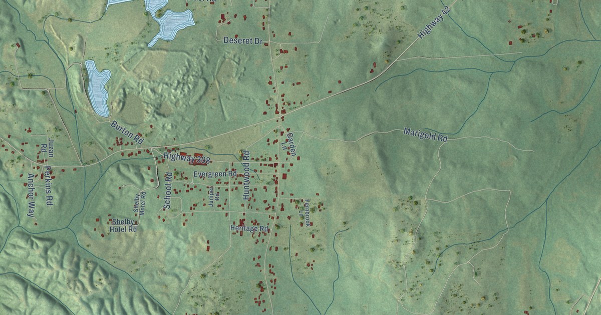
This beautifully detailed map of Shelby, Alabama was created in 2026 using aerial imagery combined with modern topographical, census, street and landmark data. It’s a one-of-a-kind view of Shelby that combines accurate data with a vintage aesthetic. The map shows every building in its true location, many of the roads carry their names, and the shaded topographic relief shows the shape of the land.
Explore an aerial view of Shelby, Alabama
On the map you’ll find Kewahatchie, along with Wilderness Trail, Highway 47, Highway 42, Beaver Creek Road, Strawberry Road, Highway 99, Egg and Butter Road, Marigold Road, Finley Road, Richard Porter Drive, Deseret Drive, and more. If you look closely you can even find your house accurately drawn in its correct location. Zoom in on the preview to look for yours.
Did You Know?
Horace Ware's first blast furnace at Shelby, a stack only thirty feet high built of brick and stone, was finished in 1846. In 1860 the Shelby works opened the first rolling mill in Alabama and turned out the state's first finished bar iron. When the Shelby Iron Company shut down in 1923, it was the longest operating charcoal furnace in the United States. Its founder, Horace Ware, was born in Lynn, Massachusetts, and became known as the father of iron and steel in Alabama. That's from the Shelby County ALGenWeb.
Take a closer look at the Shelby map
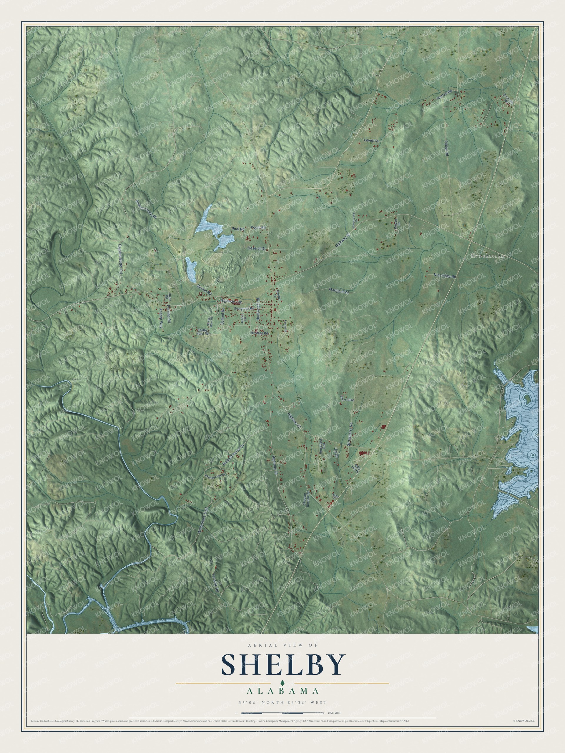
Names on this map
These names are printed on this map.
Places: Kewahatchie.
Streets and roads: Wilderness Trail, Highway 47, Highway 42, Beaver Creek Road, Strawberry Road, Highway 99, Egg and Butter Road, Marigold Road, Finley Road, Richard Porter Drive, Deseret Drive, Lovett Drive.
More street names, A to Z
Anchor Way, Bills Hill Drive, Briarvale Road, Burton Road, Chopper Benson Road, Evergreen Road, Fernbrook Lane, Garden Lane, Heritage Road, Highway 308, Honeysuckle Drive, Horseback Trail, Horton Road, Huntwood Road, Juniper Road, Juzan Road, Kewaw Drive, Kracker Farms, Nine Oaks Road, Ola Drive, Perkins Road, Poole Road, Pool Road, Sams Place, School Road, Shelby Hotel Road, Shelby Motel Road, Short Cake, Taunton Road.
See it on a wall
The Shelby map as a framed print. Swipe for more.


This beautifully detailed map of Shelby makes an attractive addition to your office, library, or den, and it can even be used to teach children the geography and history of the area. It also makes a great gift for anyone with Shelby roots. When you’re done exploring, click here to get your copy of the Shelby map.