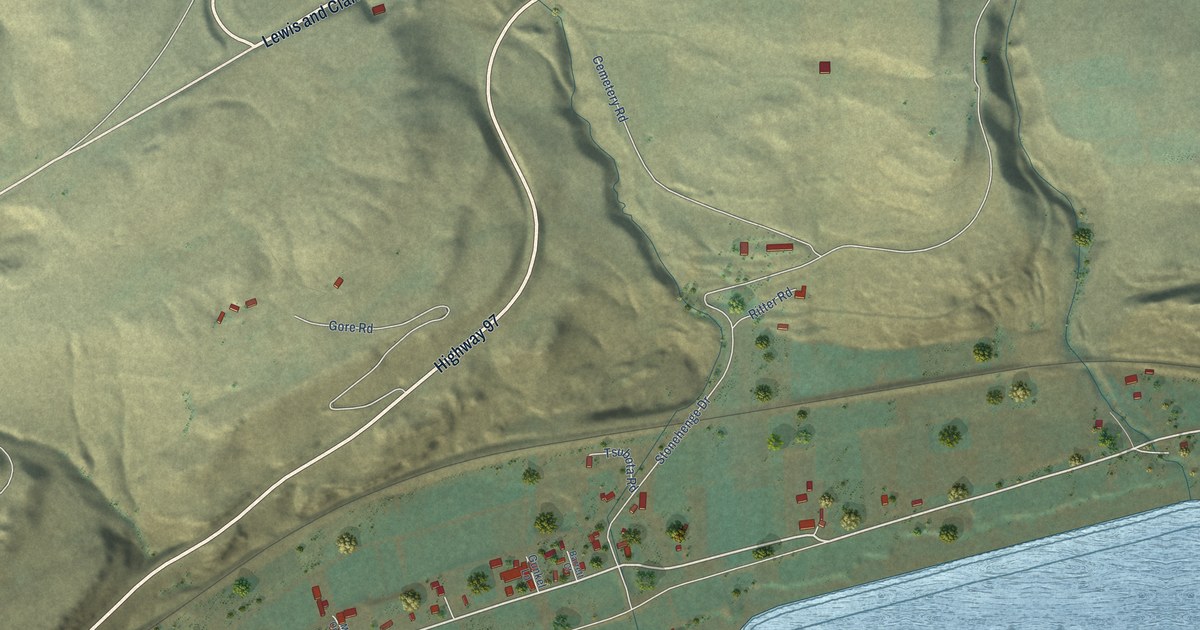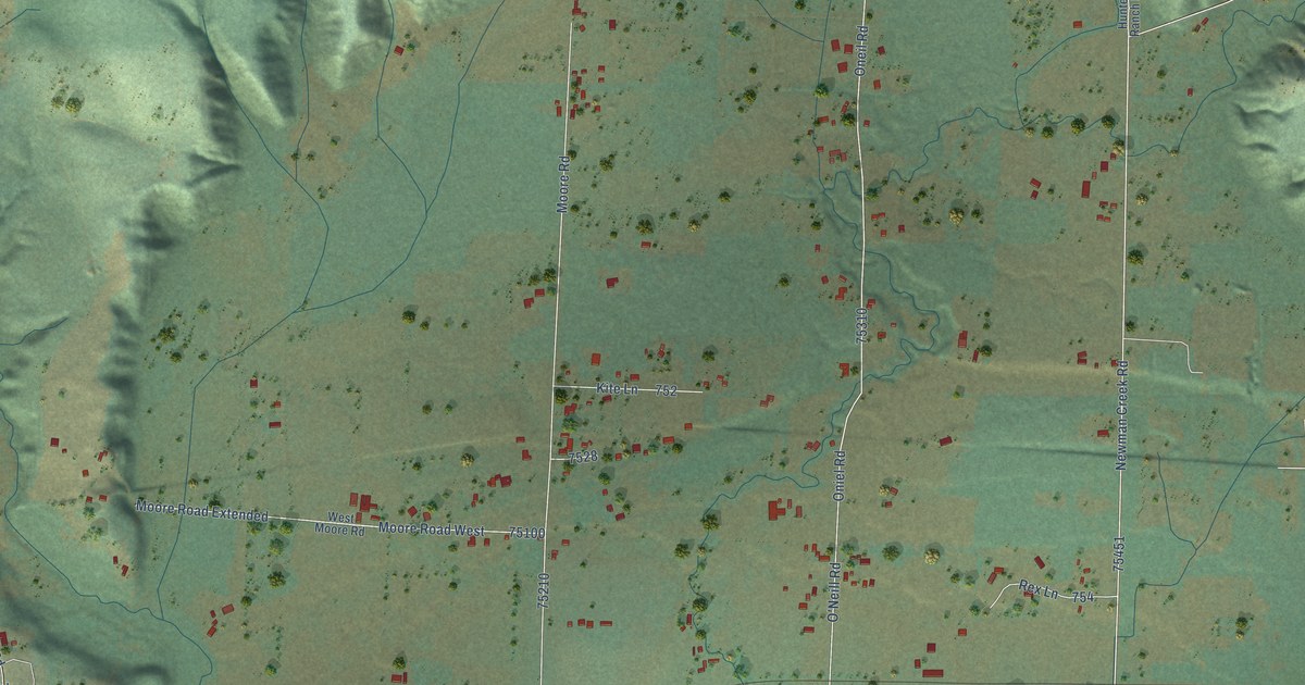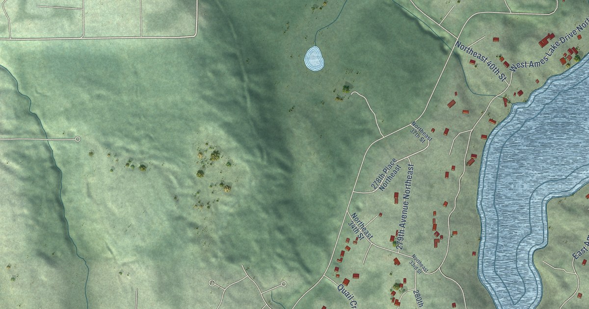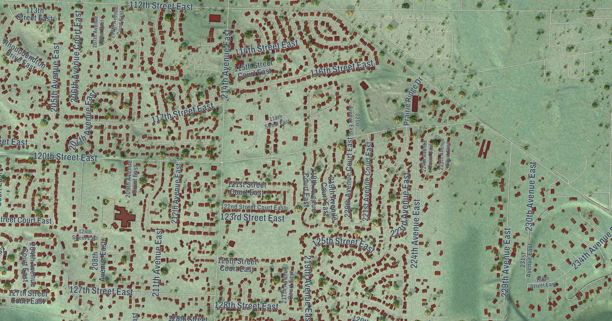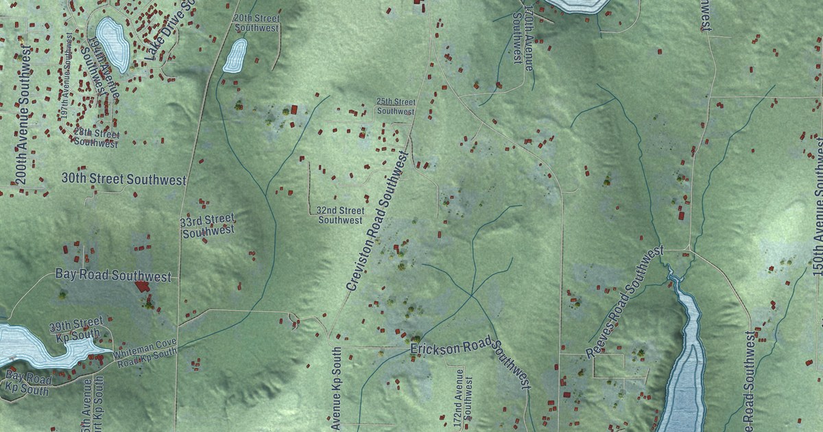
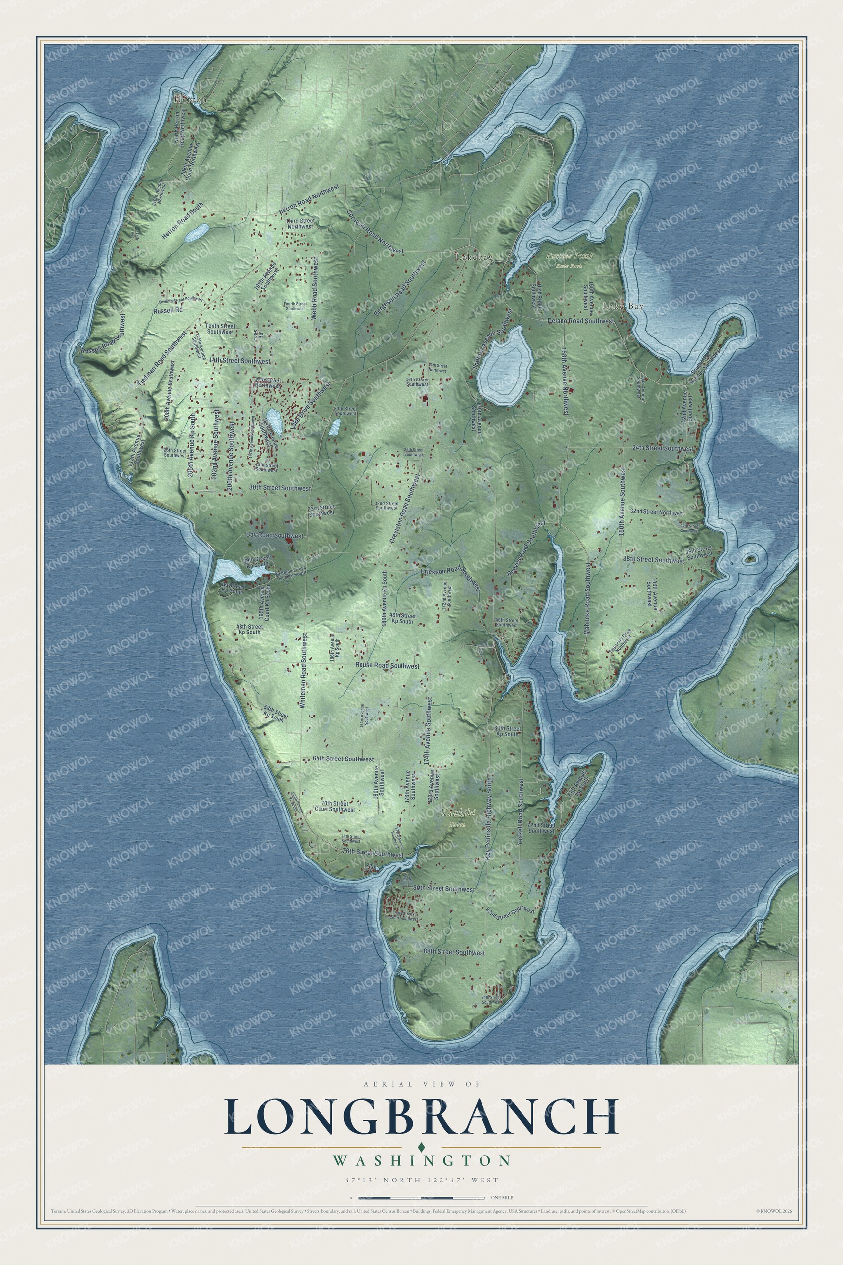
This beautifully detailed map of Longbranch, Washington was created in 2026 using aerial imagery combined with modern topographical, census, street and landmark data. It's a modern aerial view of Longbranch in Pierce County, Washington, that combines modern data with a vintage aesthetic. The roads feature printed names, and if you look closely you can find your exact house accurately shown in its correct location.
Explore an aerial view of Longbranch, Washington
On this map you'll find Lake Bay, Kaukiki Farm, Penrose Point State Park, Herron, Lakebay, Delano Road Southwest, Cornwall Road Northwest, Mahncke Road Southwest, Tiedman Road Southwest, Webb Road Southwest, Key Peninsula Highway South, Whiteman Road Southwest, and more. Each red shape is a building, so zoom in on the preview and look for yours.
Longbranch has a story worth telling. The Key Peninsula News puts it this way: "Mail was first sorted on Ernest Shellgren’s boat, the Monte Cristo, moored on Filucy Bay in 1891. Four years later, the operation was moved to Shellgren’s store near the site of the current Longbranch wharf." By 1960 Ellen Shellgren had retired as the longest serving postmaster in the state.
Longbranch is a community in Pierce County. The Census Bureau counted 4,141 people here in 2020.
Take a closer look at the Longbranch map
Names on this map
These names are printed on this map.
Places: Lake Bay, Kaukiki Farm, Penrose Point State Park, Herron and Lakebay.
Streets and roads: Delano Road Southwest, Cornwall Road Northwest, Mahncke Road Southwest, Tiedman Road Southwest, Webb Road Southwest, Key Peninsula Highway South, Whiteman Road Southwest, 158th Avenue Northwest, Erickson Road Southwest, Rouse Road Southwest, 76th Street Southwest, Yeazell Road Southwest.
More street names, A to Z
14th Street Northwest, 14th Street Southwest, 16th Street Southwest, 17th Street Northwest, 20th Street Southwest, 24th Street Southwest, 25th Street Southwest, 26th Street Southwest, 28th Street Southwest, 30th Street Southwest, 32nd Street Northwest, 32nd Street Southwest, 33rd Street Southwest, 34th Street Southwest, 36th Street Southwest, 38th Street Southwest, 39th Street Kp South, 46th Street Kp South, 46th Street Southwest, 48th Street Kp South, 58th Street Kp South, 60th Street Kp South, 64th Street Southwest, 70th Street Court Southwest, 72nd Street Southwest, 74th Street Southwest, 78th Street, 80th Street Southwest, 82nd Street Southwest, 83rd Street Court Southwest, 88th Street Southwest, 94th Street Southwest, 142nd Avenue Southwest, 146th Avenue Southwest, 148th Avenue Southwest, 150th Avenue Southwest, 155th Avenue Southwest, 170th Avenue Southwest, 172nd Avenue Southwest, 173rd Avenue Southwest, 174th Avenue Southwest, 176th Avenue, 176th Avenue Southwest, 177th Avenue Southwest, 180th Avenue Kp South, 180th Avenue Southwest, 183rd Avenue Southwest, 186th Avenue Kp South, 190th Avenue Kp South, 194th Avenue Southwest, 195th Avenue Court Kp South, 195th Avenue Southwest, 197th Avenue Southwest, 200th Avenue Southwest, 202nd Avenue Southwest, 205th Avenue Kp South, 205th Avenue Southwest, 206th Avenue Court Northwest, 208th Avenue Southwest, 210th Avenue Northwest, 212th Avenue Southwest, 213th Avenue, Bay Road Kp South, Bay Road Southwest, Bergeson Road Southwest, Cliff Avenue Kp South, Creviston Road Southwest, Foss Road, Fourth Street Southwest, Herron Road Northwest, Herron Road South, Lake Drive Southwest, North Herron Road Northwest, Reeves Road Southwest, Russell Road, Russell Road Southwest, Sanford Avenue Southwest, Seventh Street Southwest, South Head Avenue Southwest, Tenth Street Southwest, Third Street Northwest, Tipperary Drive Northwest, Ulsh Road Southwest, Whiteman Cove Road Kp South.
See it on a wall
The Longbranch map as a framed print. Swipe for more.


Created by KNOWOL in 2026. The buildings are small red shapes, the roads carry their printed names, and shaded relief shows the shape of the land. The title panel reads "AERIAL VIEW OF LONGBRANCH, WASHINGTON" with 47°13' NORTH 122°47' WEST.
It looks right in a kitchen, an office or a den, and it's a gift for anyone who grew up in Longbranch or moved away. Open the preview and find your street. See sizes and frames for the Longbranch map.