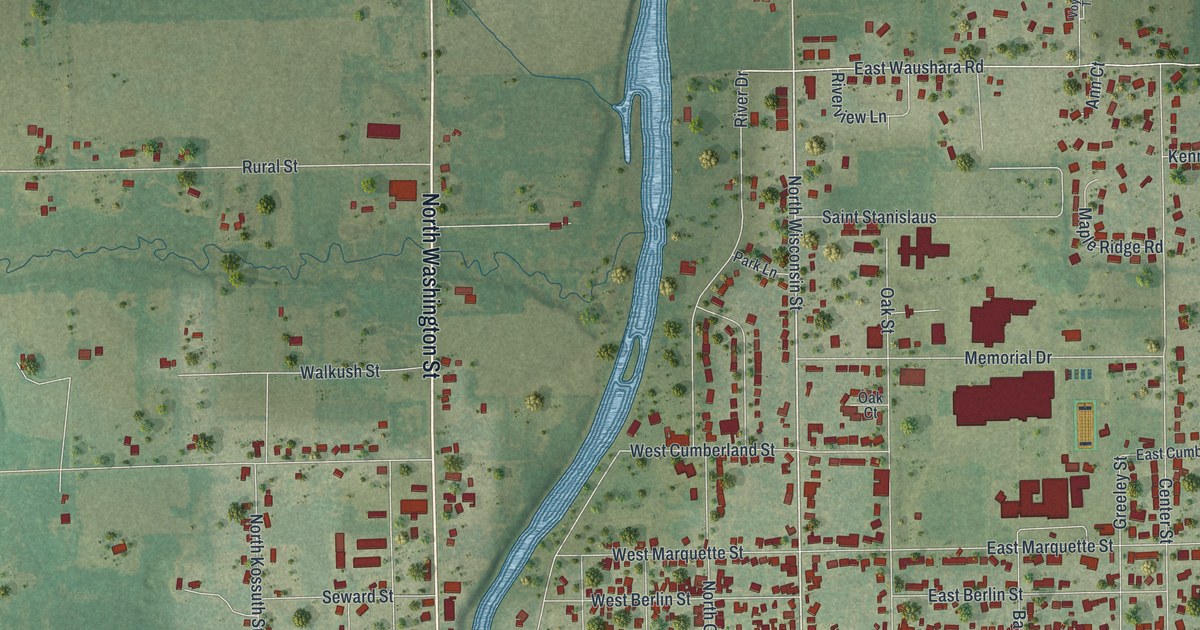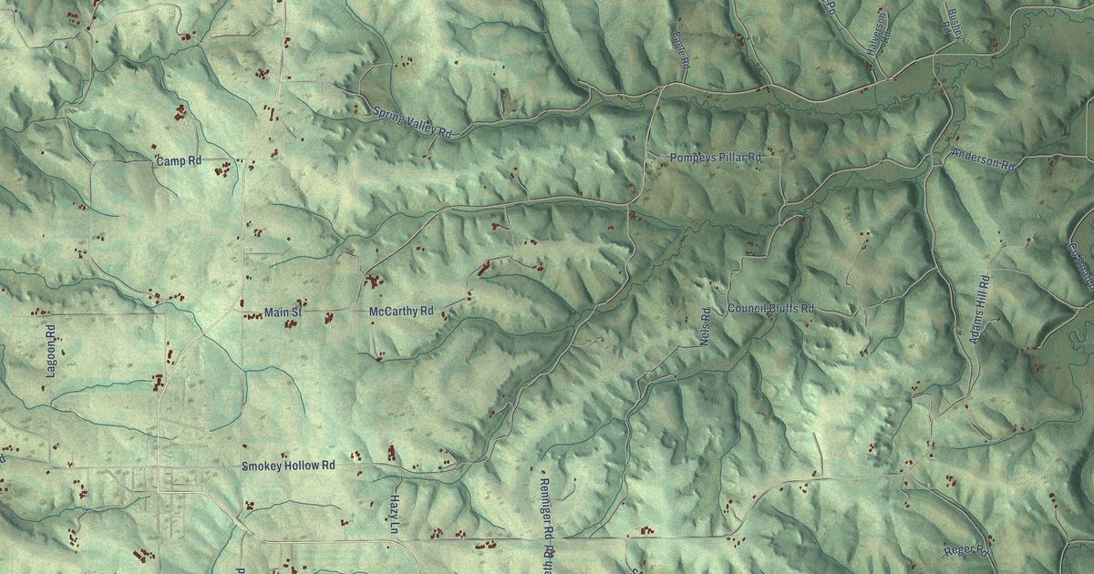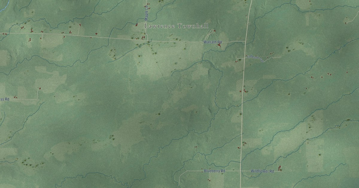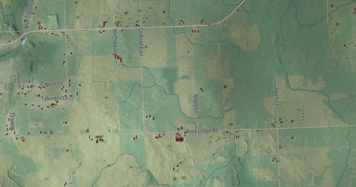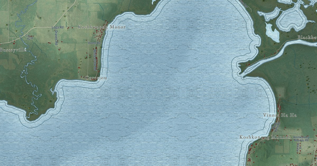
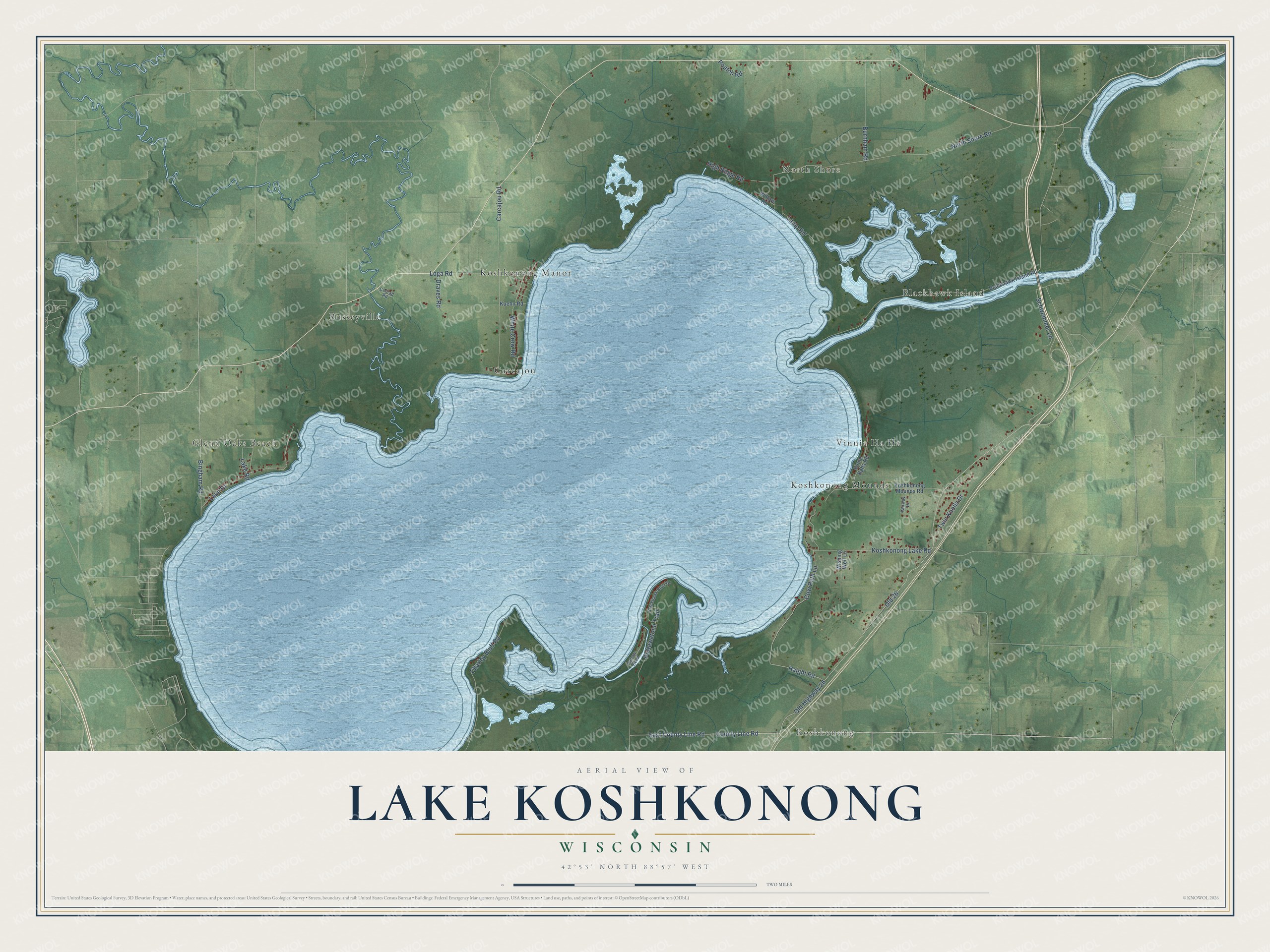
This beautifully detailed map of Lake Koshkonong, Wisconsin was created in 2026 using aerial imagery combined with modern topographical, census, street and landmark data. It's a modern aerial view of Lake Koshkonong in Jefferson County, Wisconsin, that combines modern data with a vintage aesthetic. The roads feature printed names, and if you look closely you can find your exact house accurately shown in its correct location.
Explore an aerial view of Lake Koshkonong, Wisconsin
On this map you'll find Koshkonong, Glenn Oaks Beach, Blackhawk Island, North Shore, Koshkonong Mounds, Busseyville, Koshkonong Manor, Carcajou, Old 26, Old Highway 26, Haight Road, County Line Road, and more. Each red shape is a building, so zoom in on the preview and look for yours.
Every town has a first chapter, and Lake Koshkonong is no exception. The poet Lorine Niedecker spent much of her life on Blackhawk Island, where her father built her a small log-sided cottage in 1946. The marshy, wooded country along the Rock River near Lake Koshkonong fills her poetry, and she is counted among the leading objectivist poets of the mid-twentieth century. She married Al Millen in 1963, and the two retired to Blackhawk Island in 1968. That's from the Wisconsin Historical Society.
Lake Koshkonong is a community in Jefferson County. The Census Bureau counted 1,239 people here in 2020.
Take a closer look at the Lake Koshkonong map
Names on this map
These names are printed on this map.
Places: Koshkonong, Glenn Oaks Beach, Blackhawk Island, North Shore, Koshkonong Mounds, Busseyville, Koshkonong Manor, Carcajou and Vinnie Ha Ha.
Streets and roads: Old 26, Old Highway 26, Haight Road, County Line Road, East County Line Road, Lamp Road, North Shore Road, Carcajou Road, Bingham Road, Lake Drive, Pottawatomi Trail, Koshkonong Lake Road.
More street names, A to Z
Blackhawk Bluff Drive, Blackhawk Island Road, Burnham Road, Charley Bluff Road, Conrad Road, Cow Path Lane, Draves Road, Fairway Drive, High Ridge Road, Koshkonong Mounds Road, Kuehn Road, Lake Road, Loga Road, Oxbow Bend, Poutch Road, Schwemmer Lane, Twin Knolls Drive, Vinne Haha Road, White Crow Road, Willow Road, Wishing Well Lane.
See it on a wall
The Lake Koshkonong map as a framed print. Swipe for more.


Created by KNOWOL in 2026. The buildings are small red shapes, the roads carry their printed names, and shaded relief shows the shape of the land. The title panel reads "AERIAL VIEW OF LAKE KOSHKONONG, WISCONSIN" with 42°53' NORTH 88°57' WEST.
Hang it in the hallway, the office or the cabin, or give it to someone who left Lake Koshkonong and still calls it home. Open the preview and look for a street you know. See sizes and frames for the Lake Koshkonong map.