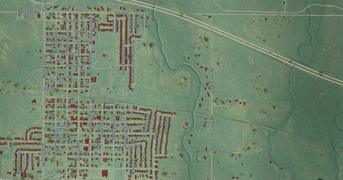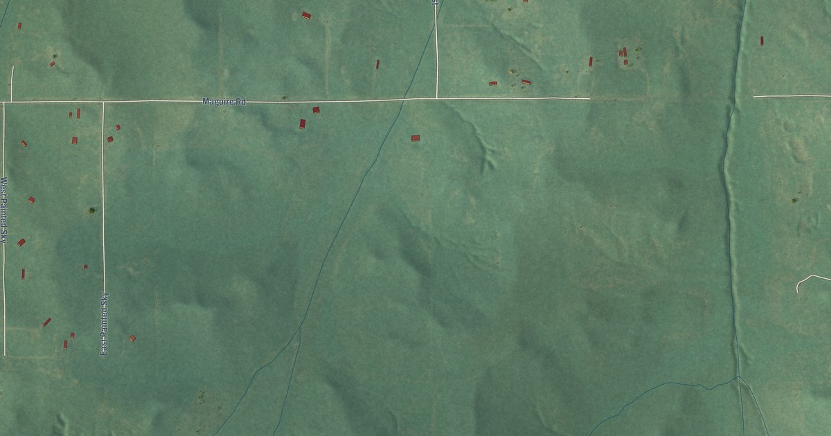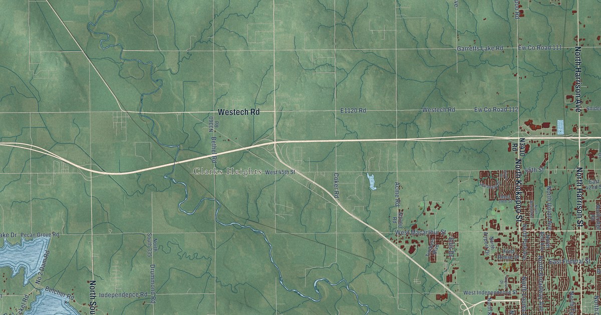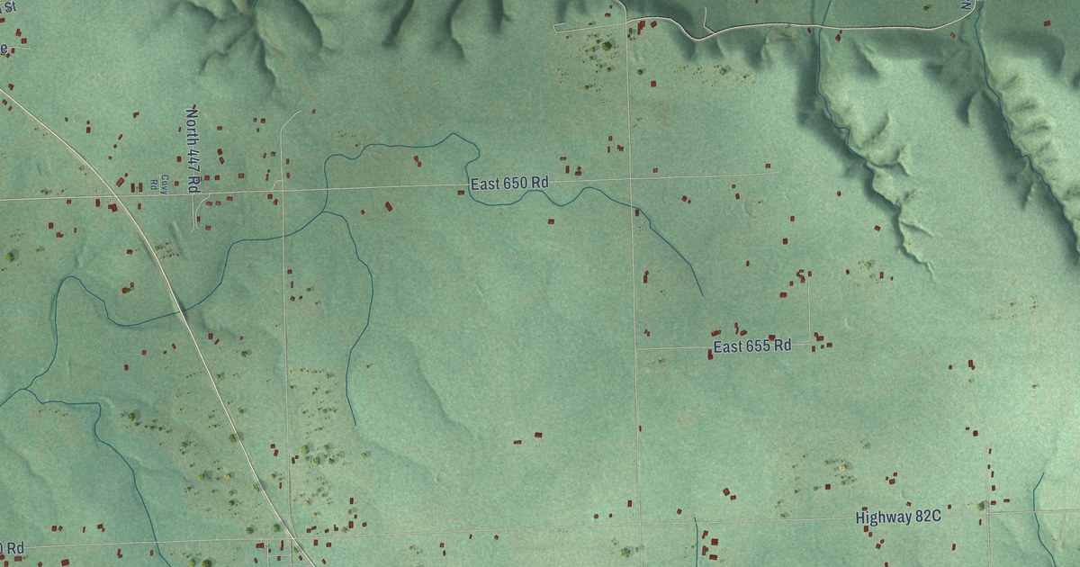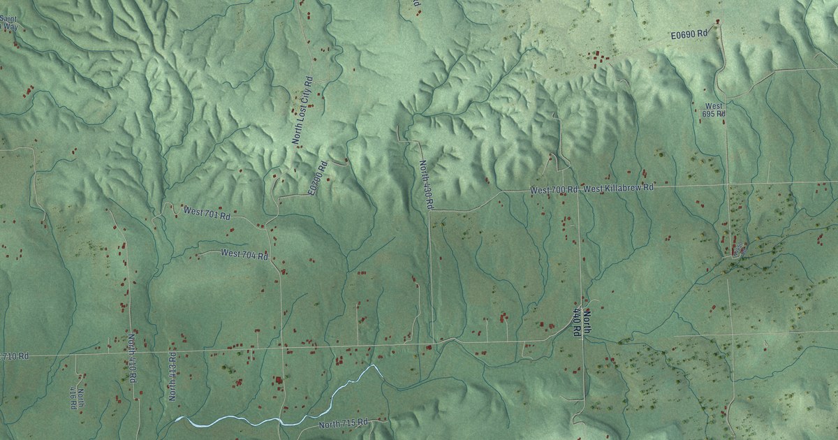
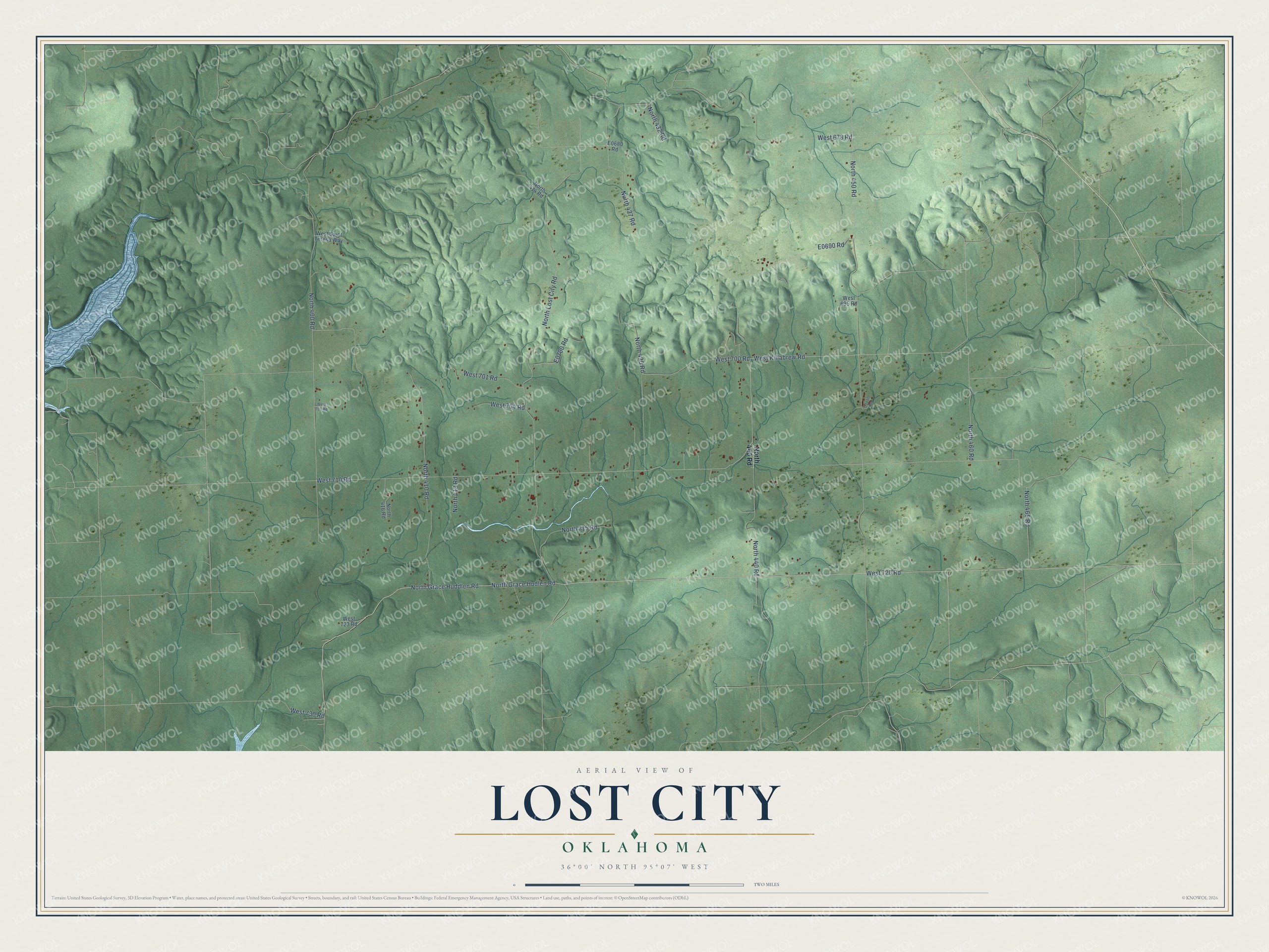
This beautifully detailed map of Lost City, Oklahoma was created in 2026 using aerial imagery combined with modern topographical, census, street and landmark data. It's a modern aerial view of Lost City in Cherokee County, Oklahoma, that combines modern data with a vintage aesthetic. The roads feature printed names, and if you look closely you can find your exact house accurately shown in its correct location.
Explore an aerial view of Lost City, Oklahoma
On this map you'll find West 720 Road, North Grace Huddlen Road, West Killabrew Road, North Lost City Road, North 450 Road, West 710 Road, North 400 Road, North Grace Hudlen Road, West 678 Road, North 410 Road, North 430 Road, North 460 Road, and more. Each red shape is a building, so zoom in on the preview and look for yours.
Here is a piece of Lost City history. In January 1970 a Smithsonian camera network photographed a meteor as it fell over Oklahoma. Six nights later, near Lost City, the network's field manager found a 22-pound piece of it. Only once before had anyone recovered a meteorite photographed on its way down. Within four months, three more pieces were found in the same area. The meteorite was a type thought to make up about 35 percent of all falls, so it could serve as a standard reference for scientists around the world. That's from the Smithsonian Institution.
Lost City is a community in Cherokee County. The Census Bureau counted 767 people here in 2020.
Take a closer look at the Lost City map
Names on this map
These names are printed on this map.
Streets and roads: West 720 Road, North Grace Huddlen Road, West Killabrew Road, North Lost City Road, North 450 Road, West 710 Road, North 400 Road, North Grace Hudlen Road, West 678 Road, North 410 Road, North 430 Road, North 460 Road.
More street names, A to Z
North 413 Road, North 414 Road, North 416 Road, North 427 Road, North 432 Road, North 440 Road, North 465 Road, North 715 Road, West 695 Road, West 700 Road, West 701 Road, West 703 Road, West 704 Road, West 723 Road, West 730 Road, West Saint Teresa Way.
See it on a wall
The Lost City map as a framed print. Swipe for more.


Created by KNOWOL in 2026. The buildings are small red shapes, the roads carry their printed names, and shaded relief shows the shape of the land. The title panel reads "AERIAL VIEW OF LOST CITY, OKLAHOMA" with 36°00' NORTH 95°07' WEST.
It suits a den, a classroom or a front hall, and it makes a gift for anyone with Lost City roots. Open the preview and find the block you know. See sizes and frames for the Lost City map.