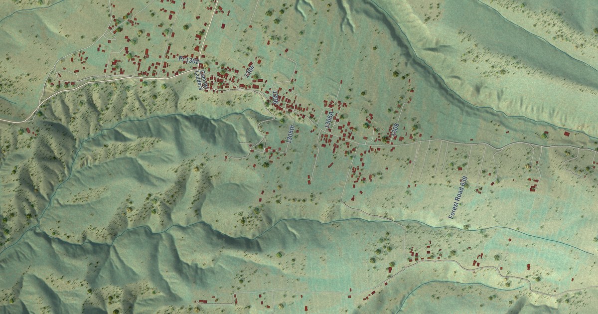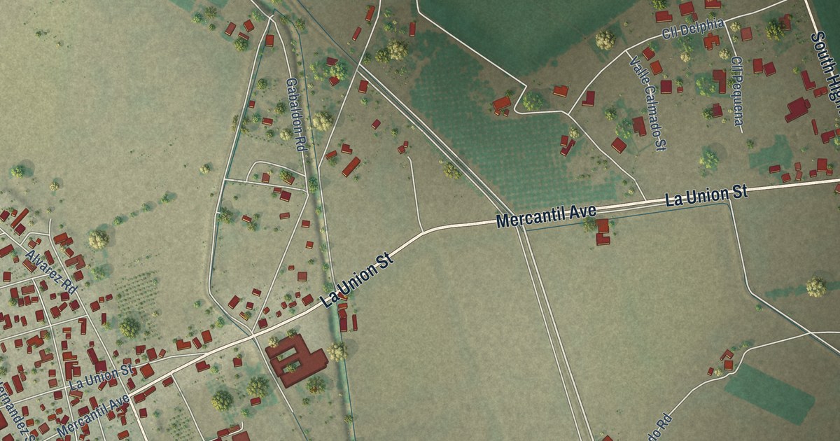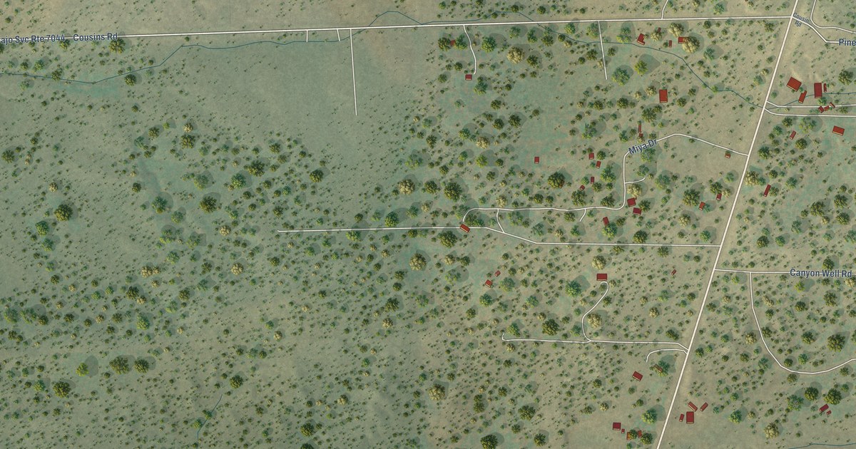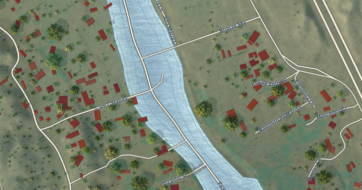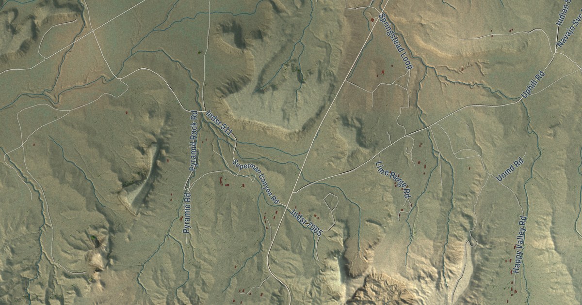
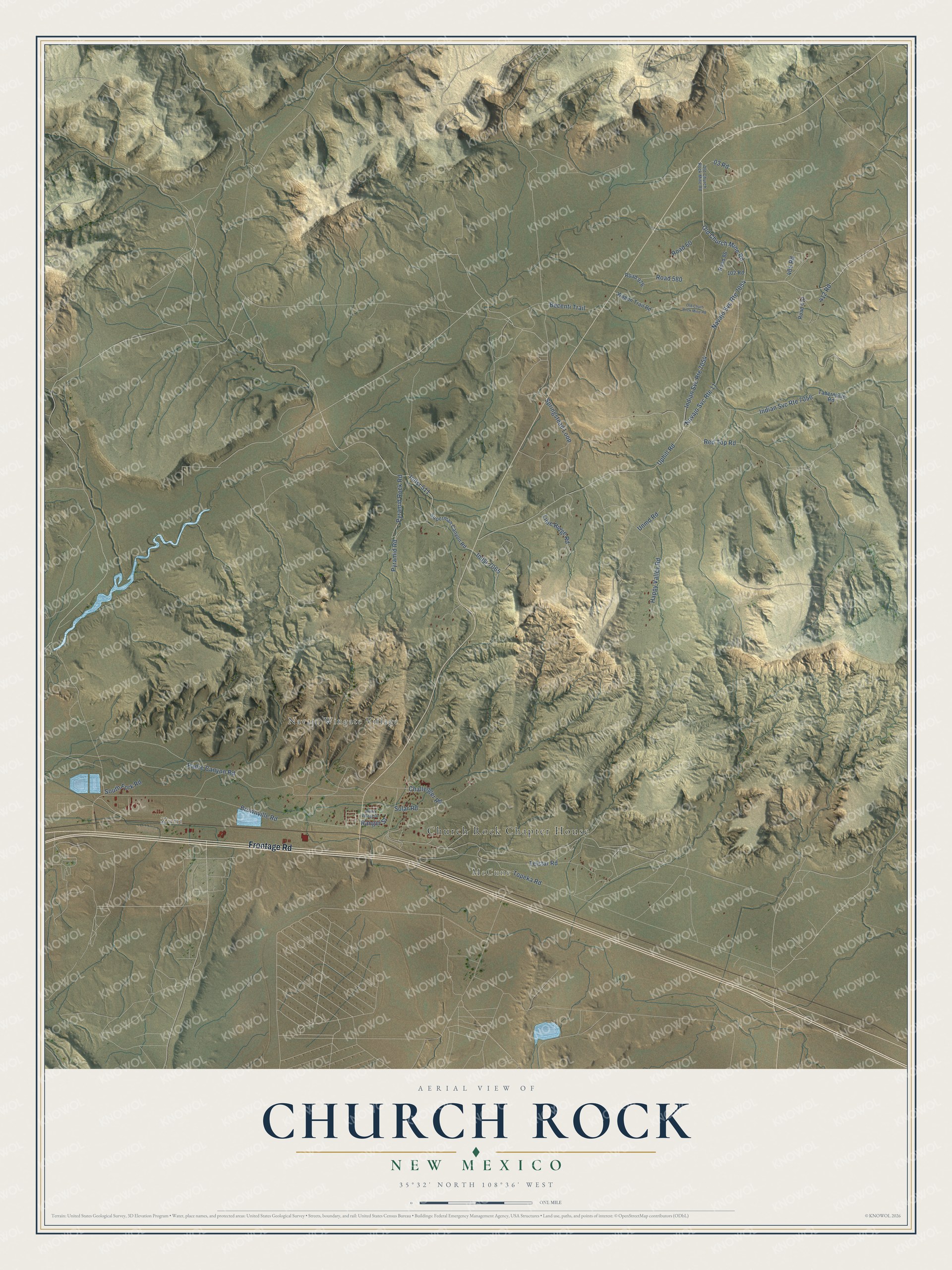
This beautifully detailed map of Church Rock, New Mexico was created in 2026 using aerial imagery combined with modern topographical, census, street and landmark data. It’s a one-of-a-kind view of Church Rock that combines accurate data with a vintage aesthetic. The map shows every building in its true location, many of the roads carry their names, and the shaded topographic relief shows the shape of the land.
Explore an aerial view of Church Rock, New Mexico
On the map you’ll find Church Rock Chapter House, Zuni, McCune, and Navajo Wingate Village, along with Frontage Road, 03 Road, Red Top Road, Pyramid Rock Road, Padre Canyon Road, Brownville Road, Old Church Mine Road, Uphill Road, and more. If you look closely you can even find your house accurately drawn in its correct location. Zoom in on the preview to look for yours.
Did You Know?
Church Rock is a Navajo community sheltered on the north by two red sandstone formations, each named for its shape: Pyramid Rock and Church Rock, also called Navajo Church. The settlement took its name from Church Rock, and its Navajo name means yellow houses in place. That's from the Place Names of New Mexico by Robert Julyan.
Take a closer look at the Church Rock map
Names on this map
These names are printed on this map.
Places: Church Rock Chapter House, Zuni, McCune and Navajo Wingate Village.
Streets and roads: Frontage Road, Indian Svc Route 7054, Navajo Svc Route 7054, Indian Svc Route 7056, Navajo Svc Route 11, 03 Road, Red Top Road, Pyramid Rock Road, Padre Canyon Road, Brownville Road, Old Church Mine Road, Uphill Road.
More street names, A to Z
102 Road, 405 Road, 412 Road, Becenti Trail, Challenger Road, Happy Valley Road, Indian Village Drive, Indsr 511, Indsr 7065, Lime Ridge Road, Old Church Rock Mine Road, Old Churh Rock Mine Road, Pyramid Road, Ranger Street, Road 60, Road 86, Road 412, Road 580, Road 976, Solar Road, South Fork Road, Springstead Loop, Superman Canyon Road, Tabernacle Road, Telstar Road, Topeka Road, Unmd Road, Wagon Trail Road.
See it on a wall
The Church Rock map as a framed print. Swipe for more.


This beautifully detailed map of Church Rock makes an attractive addition to your office, library, or den, and it can even be used to teach children the geography and history of the area. It also makes a great gift for anyone with Church Rock roots. When you’re done exploring, click here to get your copy of the Church Rock map.