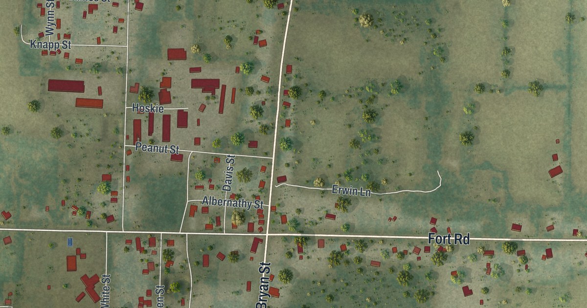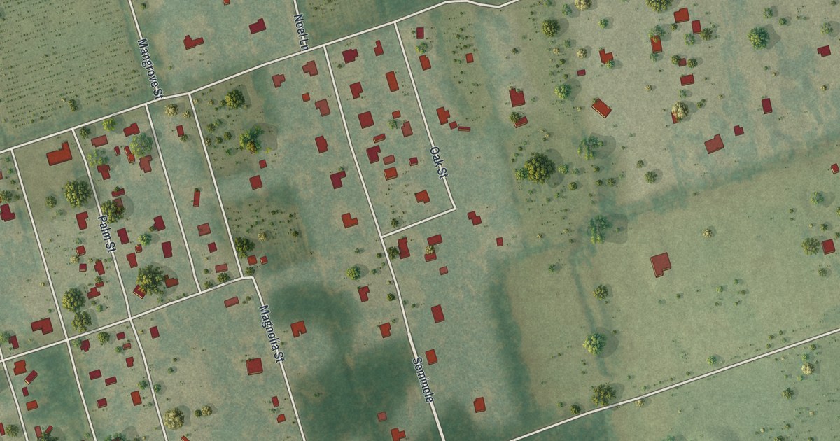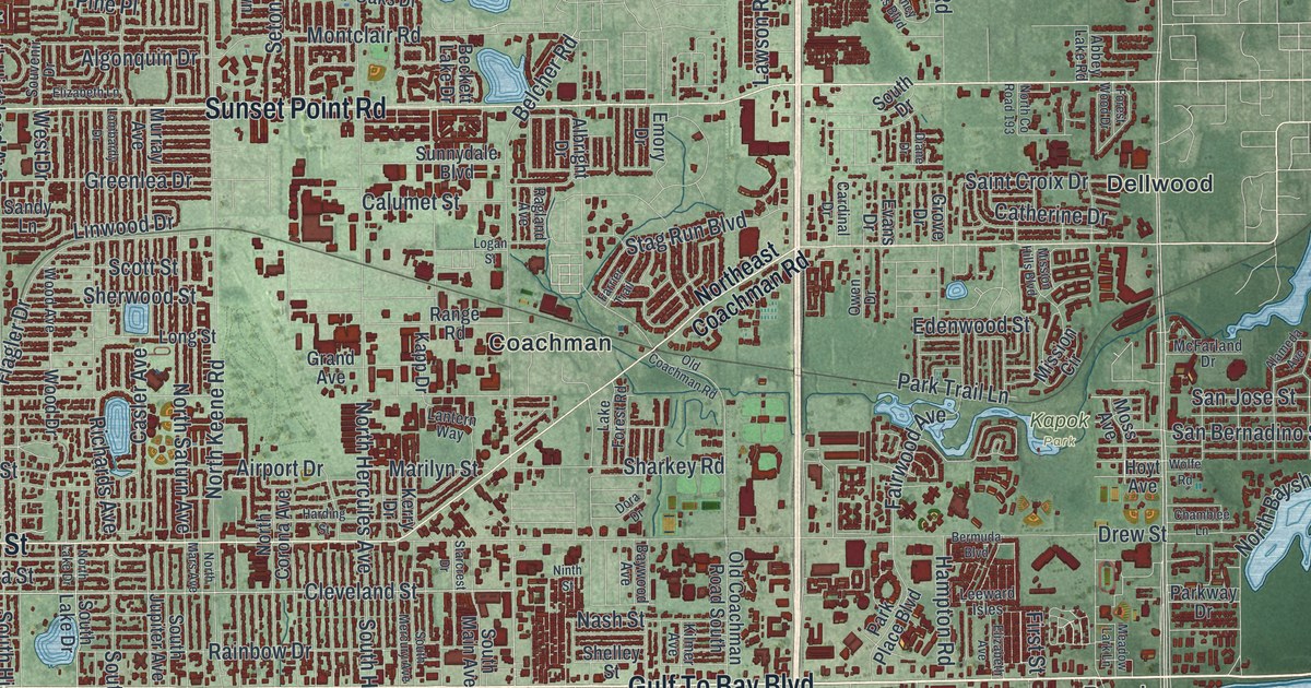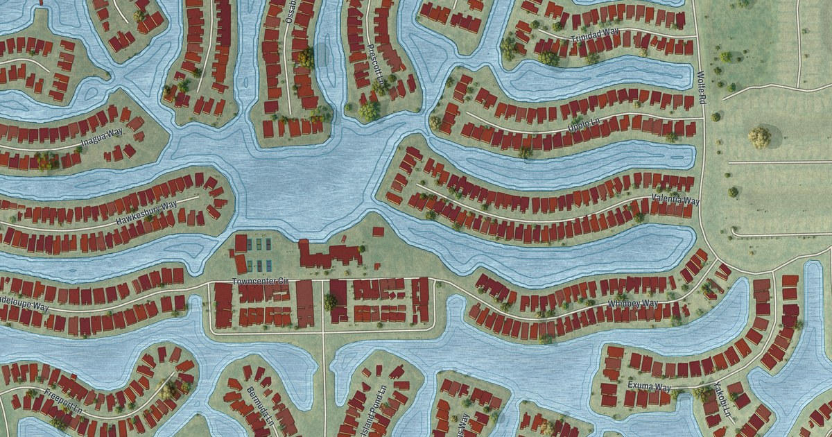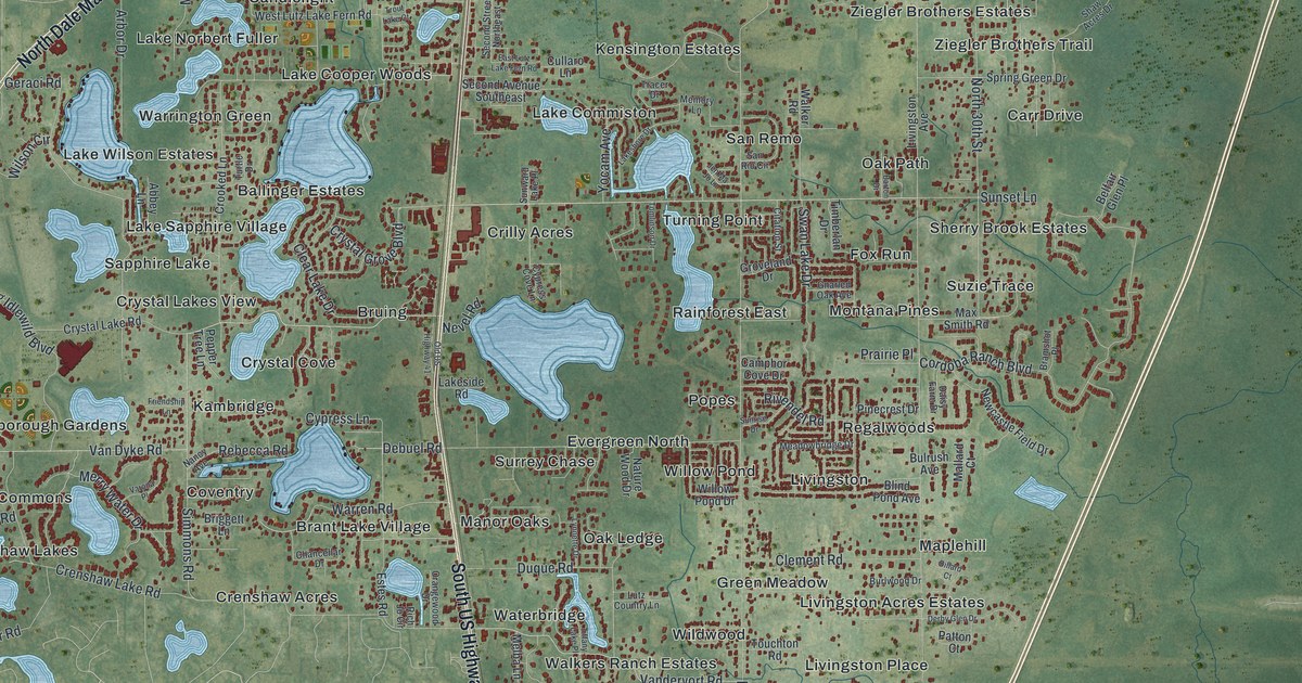
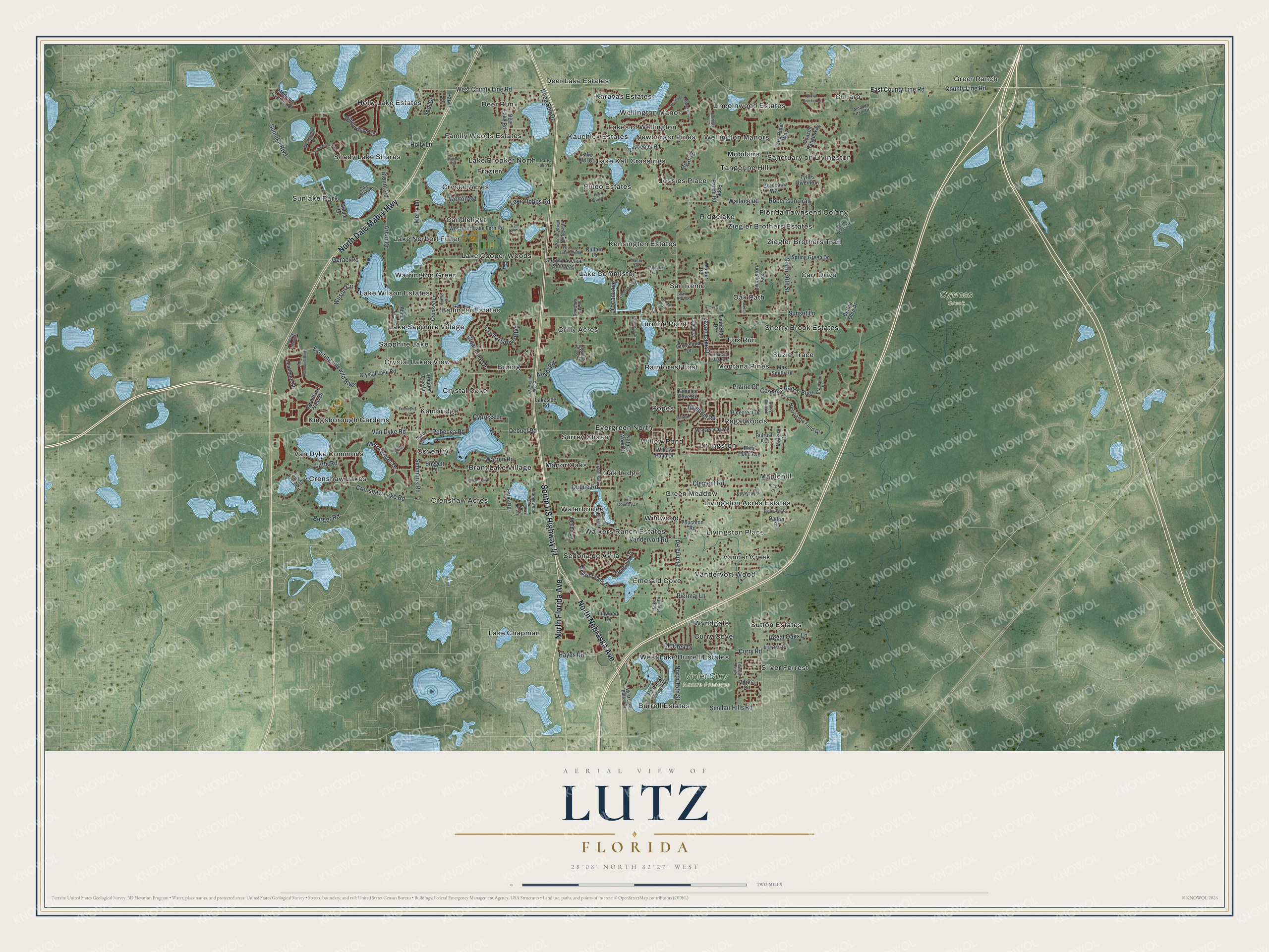
This beautifully detailed map of Lutz, Florida was created in 2026 using aerial imagery combined with modern topographical, census, street and landmark data. It’s a one-of-a-kind view of Lutz that combines accurate data with a vintage aesthetic. The map shows every building in its true location, many of the roads carry their names, and the shaded topographic relief shows the shape of the land.
Explore an aerial view of Lutz, Florida
On the map you’ll find Greer Ranch, Cypress Creek, Violet Cury Nature Preserve, Shady Lake Shores, Van Dyke Commons, Regalwoods, Karavas Estates, Crystal Cove, Kensington Estates, Wildwood, Sanctuary on Livingston, Sedona de Avila, and more. If you look closely you can even find your house accurately drawn in its correct location. Zoom in on the preview to look for yours.
Did You Know?
From the Laker/Lutz News: "The stop just north of Stemper was named Lutz, after early Tampa Northern engineer William Lutz. William was a young engineer from West Virginia; his brother Charles ran a sawmill in what is now Odessa." In 1913 residents petitioned for a post office at North Tampa, but the government feared it would be confused with Tampa and named it the Lutz Post Office instead.
Take a closer look at the Lutz map
Names on this map
These names are printed on this map.
Places: Greer Ranch, Cypress Creek, Violet Cury Nature Preserve, Shady Lake Shores, Van Dyke Commons, Regalwoods, Karavas Estates, Crystal Cove, Kensington Estates, Wildwood, Sanctuary on Livingston, Sedona de Avila, Crilly Acres, Sherry Brook Estates, Deer Run, Warrington Green, Sutton Estates, Ziegler Brothers Trail, Livingston Acres Estates, Coventry, Lake Wilson Estates, Cullaro, Lake Chapman, Sunlake Park, Turning Point, Jessies Place, Surrey Chase, Emerald Cove, Lake Cooper Woods, Popes, Lake Kell Crossings, Waterbridge, Tangerine Hill, Bruing, Fox Run, Vander Creek, Burrell Estates, Lake Sapphire Village, Holly Lake Estates, Lake Brooker North, Brant Lake Village, Lincolnwood Estates, Wellington Manor, Curry Cove, Lake Commiston, Maplehill, Crystal Acres, Green Meadow, Crenshaw Acres, Rainforest East, Kauchick Estates, Livingston, Crenshaw Lakes, Manor Oaks, San Remo, Lake Norbert Fuller, Kambridge, Oak Path, Family Woods Estates, Puleo Estates, Willow Pond, Ballinger Estates, Deer Lake Estates, Sapphire Lake, Suzie Trace, Frazier, Oak Ledge, Ridgelake, Vandervort Wood, Livingston Place, Candlelight, West Lake Burrell Estates, Florida Townsend Colony, Wyndgate, Ziegler Brothers Estates, Evergreen North, Carr Drive, Silver Forrest, Crystal Lakes View, Walkers Ranch Estates, Mobilaire, Newberger Pines, Kingsborough Gardens, Wellington Manors, Lakes of Wellington and Montana Pines.
Streets and roads: South US Highway 41, North Dale Mabry Highway, North Nebraska Avenue, North Florida Avenue, County Line Road, East County Line Road, Hanna Road, Sunset Lane, Crenshaw Lake Road, Cordoba Ranch Boulevard, West County Line Road, Vandervort Road.
More street names, A to Z
Abbey Lane, Amanda Park Drive, Arbor Drive, Barton Drive, Belfair Glen Place, Berger Road, Blenheim Drive, Blind Pond Avenue, Blount Road, Bordeaux Way, Bramshot Place, Briggett Lane, Brown Brocket Lane, Bulrush Avenue, Burlwood Drive, Camphor Cove Drive, Carts Lake Lane, Chancellar Drive, Citation Street, Clear Lake Drive, Clement Road, Coastal Range Way, Courtney Jo Lane, Crooked Lane, Crystal Grove Boulevard, Crystal Lake Road, Cullaro Lane, Curry Road, Cypress Cove Lane, Cypress Lane, Daisy Farm Drive, Debuel Road, Deer Lake Road, Derby Glen Drive, Dillard Court, Duque Road, East Lake Burrell Drive, East Lutz Lake Fern Road, Estes Road, Exciting Idlewild Boulevard, Friendship Lane, Geraci Road, Gnarled Oak Avenue, Goldie Lane, Groveland Drive, Harvie Lane, Hayes Road, High Oaks Lane, Hillary Circle, Holly Lane, Jen Ma Jo Lane, Jodi Drive, Lake Allen Road, Lake Hobbs Road, Lake Kell Court, Lake Palm Drive, Lakeshore Drive, Lakeside Road, Leafmore Street, Linda Vista Circle, Linwood Terrace, Little Road, Livingston Avenue, Lutz Country Lane, Lynnette Drive, Madison Cypress Drive, Majestic View Drive, Mallard Court, Mapleridge Drive, Martha Circle, Max Smith Road, McCrea Drive, Meadowbridge Drive, Melba Lane, Memory Lane, Merry Lane, Merry Water Drive, Nancy Avenue, Nature Wood Drive, Nevel Road, Newberger Road, Newcastle Field Drive, North 15th Street, North 30th Street, Old US Highway 41, Orangewood Drive, Patton Court, Pepper Tree Lane, Piermaj Lane, Pine Bluff Drive, Pinecrest Drive, Pine Hammock Boulevard, Pope Ranch Road, Prairie Place, Rebecca Road, Regal Oaks Lane, Rhea See Drive, Rich Jo Circle, Rivendel Road, Robertson Trail, Ryan Drive, San Rio Circle, Sea Rider Way, Second Avenue Southeast, Second Street Northeast, Shaw Acres Drive, Simmons Road, Sinclair Hills Road, Spring Green Drive, Sunlake Boulevard, Sunrise Drive, Sunward Lake Place, Swan Lake Drive, Tapestry Lake Circle, Tiffany Lake Place, Timberlan Drive, Tomlinson Drive, Touchton Road, Towery Trail, Tracer Drive, Trout Lake Court, Turtle Drive, Tylers River Run, Van Dyke Road, Varona Place, Walker Road, Wallace Road, Warren Road, Wellington Manor Boulevard, Welton Road, West Lake Burrell Drive, West Lutz Lake Fern Road, Willow Pond Drive, Wilson Circle, Windsor Park Drive, Winglewood Circle, Woodland View Drive, Yocam Avenue.
See it on a wall
The Lutz map as a framed print. Swipe for more.


This beautifully detailed map of Lutz makes an attractive addition to your office, library, or den, and it can even be used to teach children the geography and history of the area. It also makes a great gift for anyone with Lutz roots. When you’re done exploring, click here to get your copy of the Lutz map.