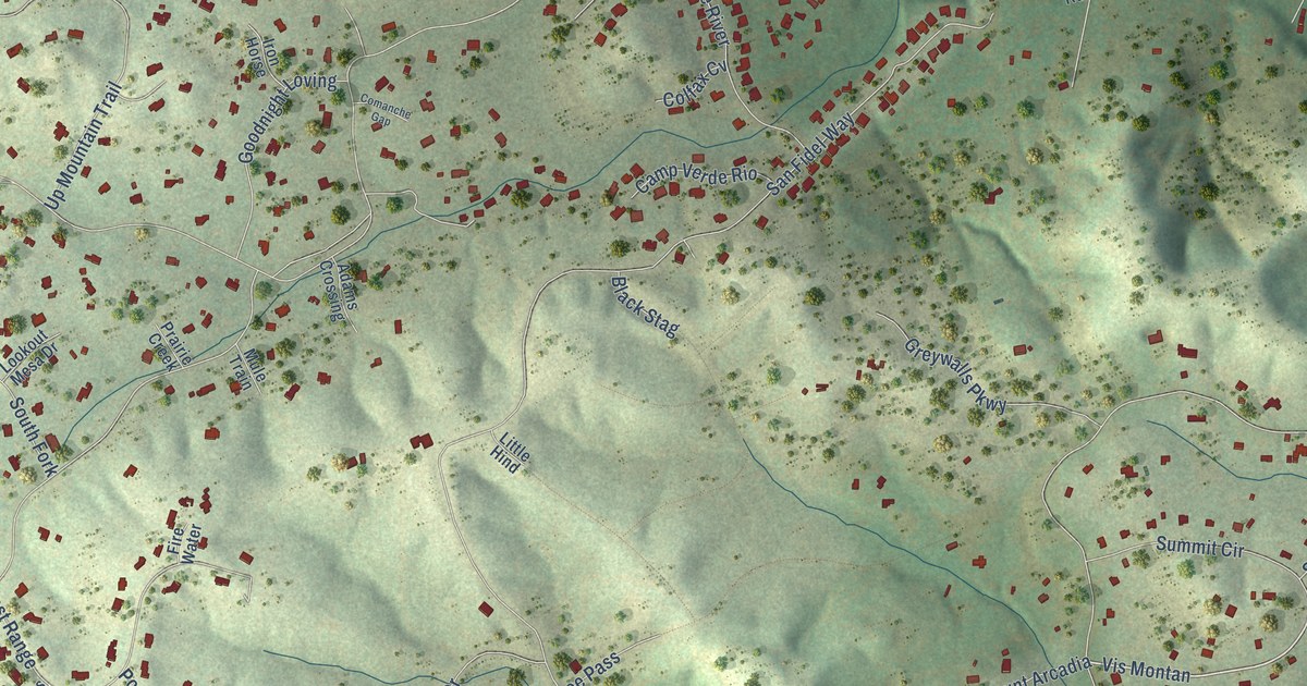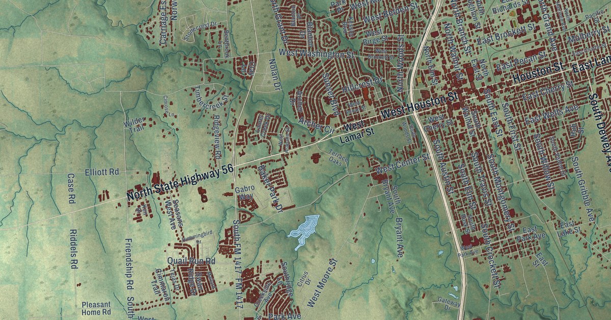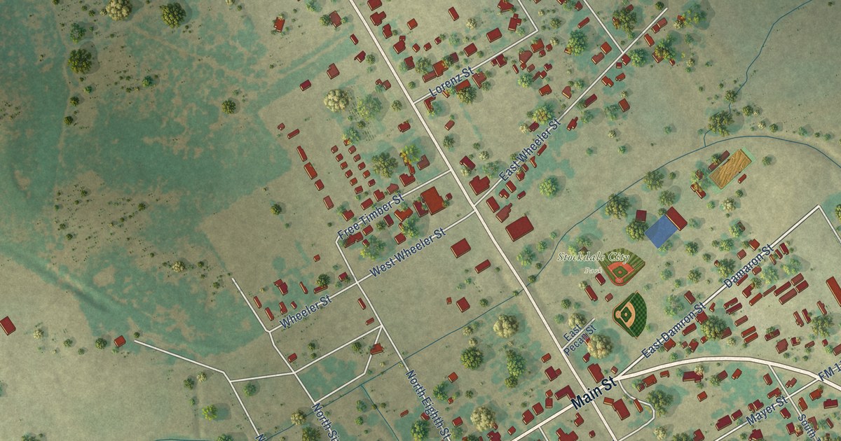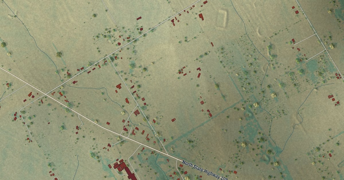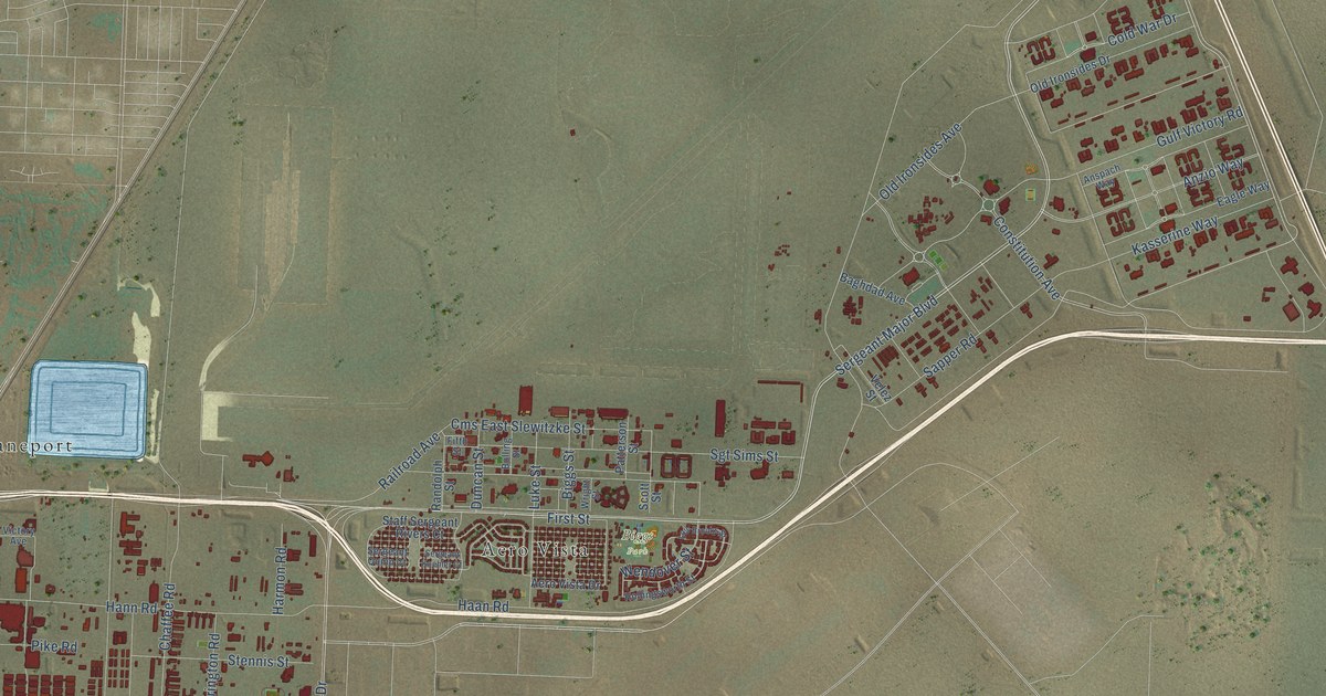
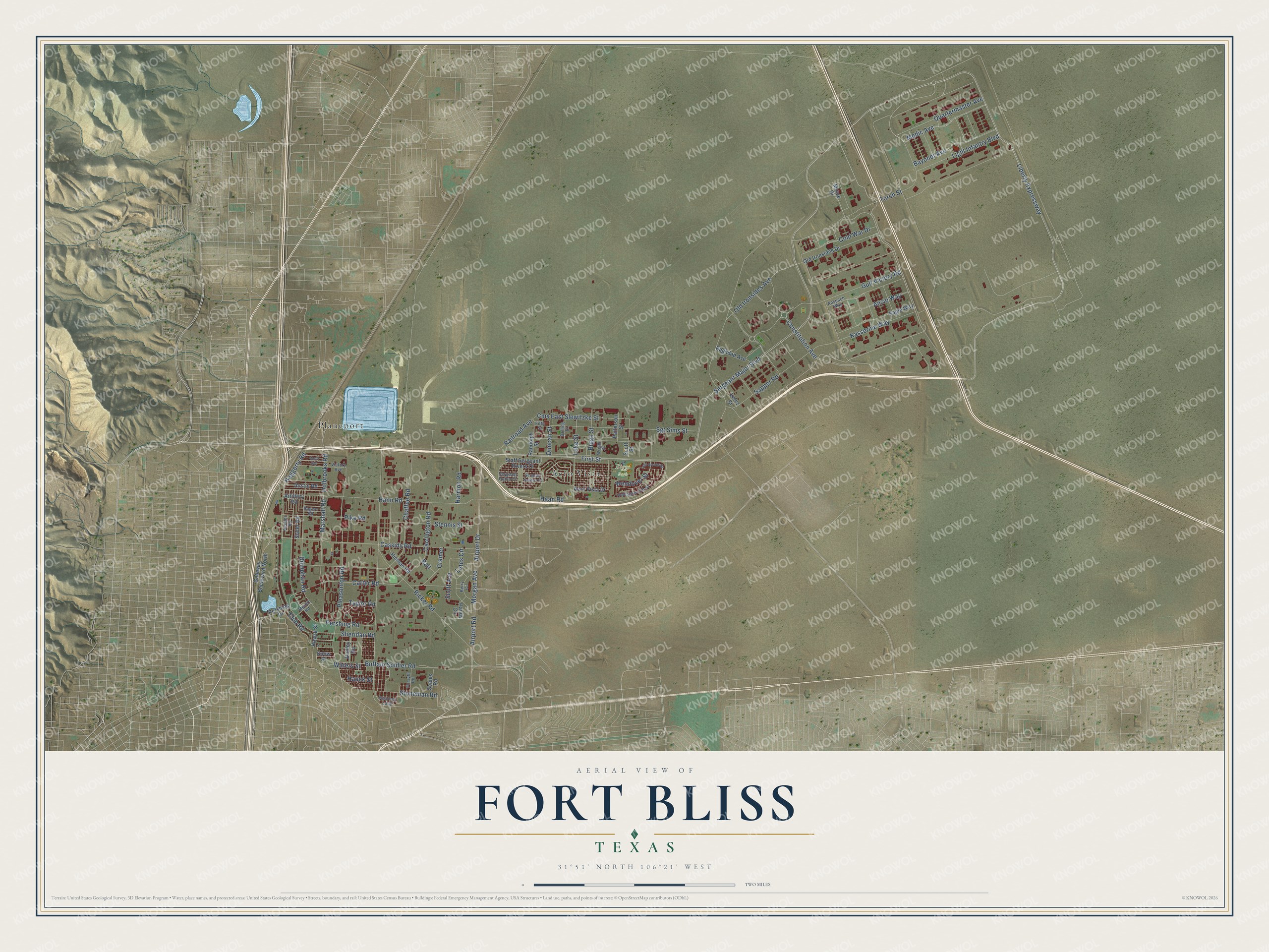
This beautifully detailed map of Fort Bliss, Texas was created in 2026 using aerial imagery combined with modern topographical, census, street and landmark data. It’s a one-of-a-kind view of Fort Bliss that combines accurate data with a vintage aesthetic. The map shows every building in its true location, many of the roads carry their names, and the shaded topographic relief shows the shape of the land.
Explore an aerial view of Fort Bliss, Texas
On the map you’ll find Biggs Park, Planeport, and Aero Vista, along with Sergeant Major Boulevard, Liberty Expressway, Airport Road, Medic Avenue, Cold War Drive, Gulf Victory Road, Old Ironsides Avenue, Stoneman Road, Railroad Avenue, and more. If you look closely you can even find your house accurately drawn in its correct location. Zoom in on the preview to look for yours.
Did You Know?
The post became Fort Bliss in 1854, in memory of Lt. Col. William Wallace Smith Bliss, chief of staff to Gen. Zachary Taylor in the Mexican War. When the Army nearly moved it away, El Paso leaders raised about 7,000 dollars to buy land on Lanoria Mesa. Fort Bliss moved to its sixth and final home there in late 1893. Five-star General Omar N. Bradley lived and worked at Fort Bliss from 1977 until his death in 1981. That's from the Handbook of Texas.
Take a closer look at the Fort Bliss map
Names on this map
These names are printed on this map.
Places: Biggs Park, Planeport and Aero Vista.
Streets and roads: Sergeant Major Boulevard, Liberty Expressway, Airport Road, Medic Avenue, Cold War Drive, Gulf Victory Road, Old Ironsides Avenue, Stoneman Road, Railroad Avenue, Cms East Slewitzke Street, Constitution Avenue, Torch Street.
More street names, A to Z
Aero Vista Drive, Airport Drive, Anspach Way, Anzio Way, Artillery Road, Austin Road, Baghdad Avenue, Ball, Bayonet Avenue, Berry Circle, Biggs Street, Bolling Street, Buffalo Soldier Road, Carrington Road, Carter Road, Cassidy Road, Chaffee Road, Club Road, Cramer, Doniphan Road, Dudley Road, Duncan Street, Eagle Way, Fifth Street, First Street, Forsyth Road, Gateway Boulevard North, Haan Road, Haggerty Road, Handy Circle, Hann Road, Harmon Road, Hauck Street, Hinman Road, Holbrooks Road, Hollingsworth Street, Howze Street, Kasserine Way, Kearney Loop, Light Infantry Boulevard, Lois Brooks Street, Luke Street, Lutes Circle, Marshall Road, Merritt Road, Minue Drive, Morgan Avenue, Old Ironsides Drive, Patterson Street, Pershing Drive, Pershing Road, Pike Road, Pleasonton Road, Quartermaster Avenue, Randolph Street, Reeder Road, Ricker Road, Rogers Road, Sapper Road, Scales Road, Scott Avenue, Scott Street, Sergeant Koehler Court, Sergeant Quinn Court, Sgt Sims Street, Sheridan Road, Slater Road, Snow Street, Staff Sergeant Rivers Court, Stennis Street, Taylor Road, Velez Street, Victory Avenue, Waters Street, Wendover Street, Wolff Avenue, Wright Street.
See it on a wall
The Fort Bliss map as a framed print. Swipe for more.


This beautifully detailed map of Fort Bliss makes an attractive addition to your office, library, or den, and it can even be used to teach children the geography and history of the area. It also makes a great gift for someone who left Fort Bliss and still calls it home. When you’re done exploring, click here to get your copy of the Fort Bliss map.