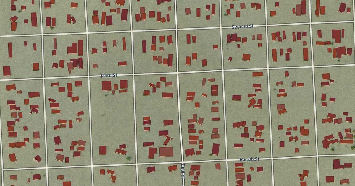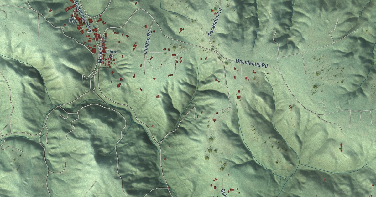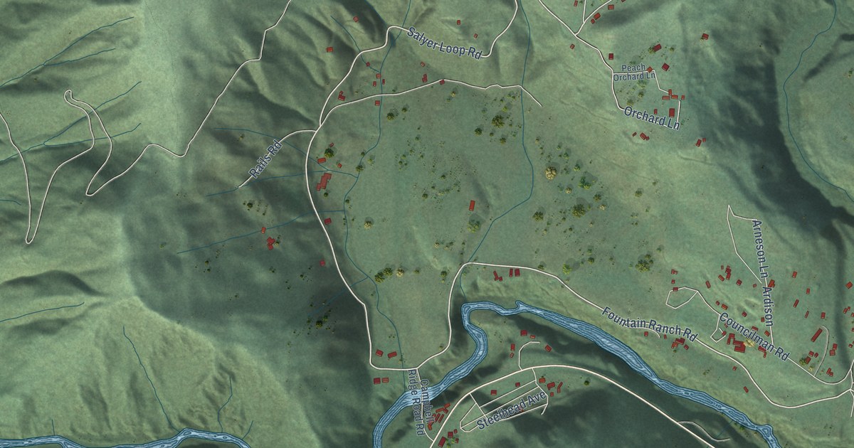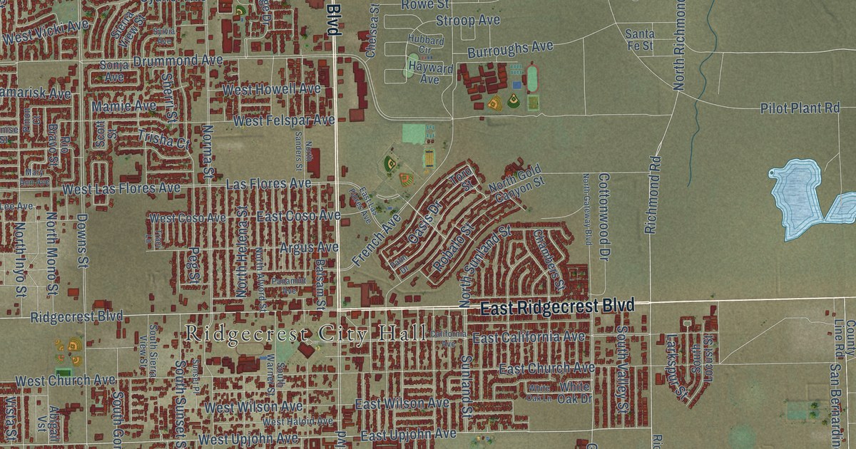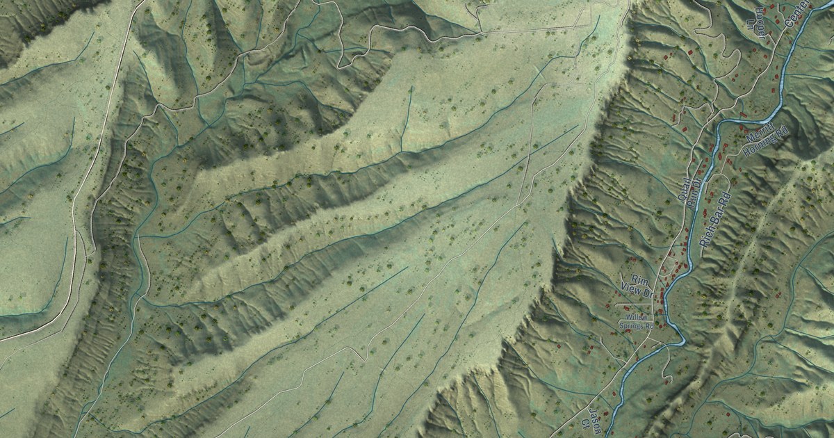
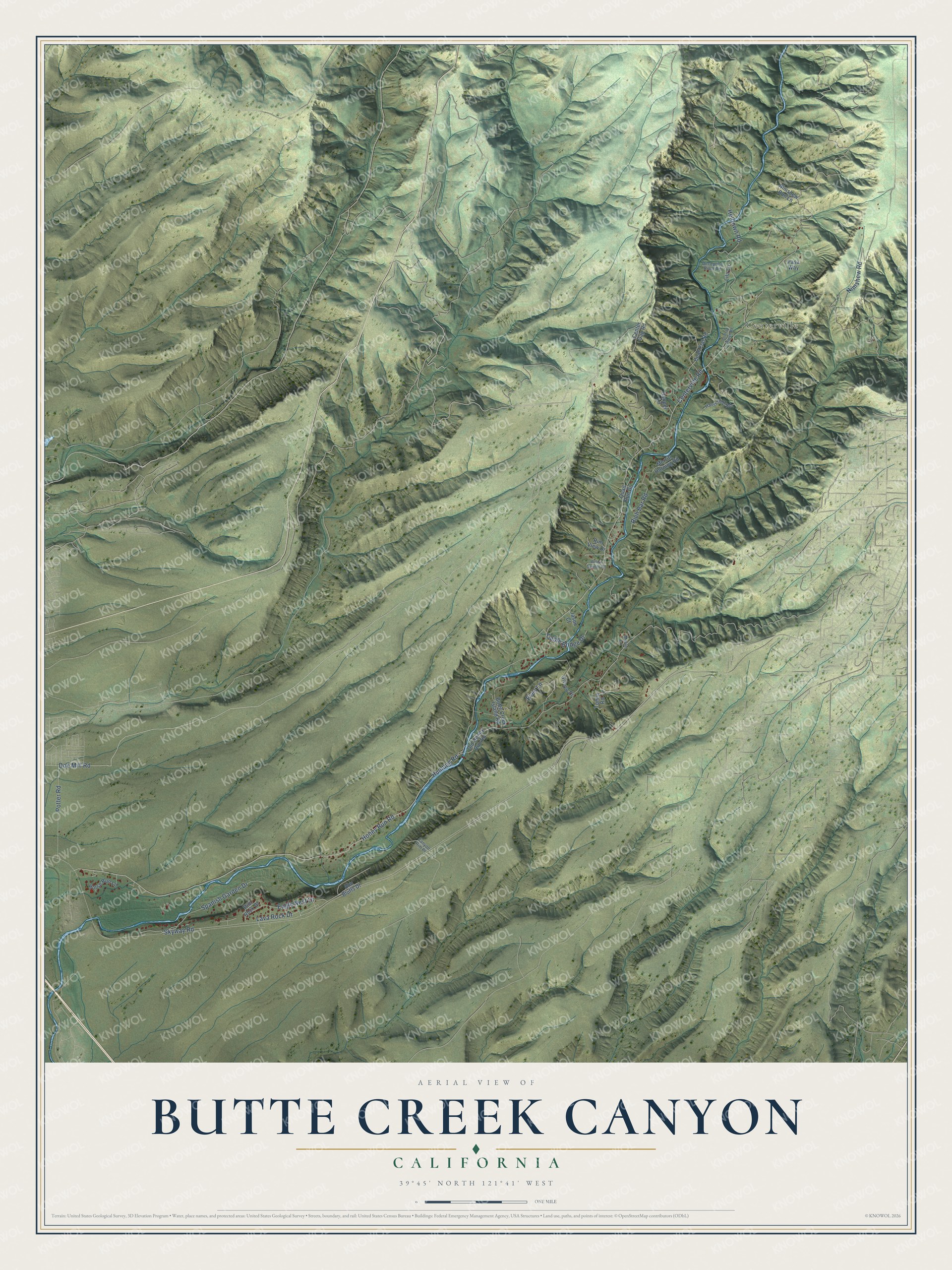
This beautifully detailed map of Butte Creek Canyon, California was created in 2026 using aerial imagery combined with modern topographical, census, street and landmark data. It’s a one-of-a-kind view of Butte Creek Canyon that combines accurate data with a vintage aesthetic. The map shows every building in its true location, many of the roads carry their names, and the shaded topographic relief shows the shape of the land.
Explore an aerial view of Butte Creek Canyon, California
On the map you’ll find Centerville, along with Doe Mill Road, Centerville Road, Humbug Road, Honey Run Road, Skyway Road, Nimshew Road, Helltown Road, Spanish Garden Drive, Potter Road, Cable Bridge Drive, Eves Lane, and more. If you look closely you can even find your house accurately drawn in its correct location. Zoom in on the preview to look for yours.
Did You Know?
Gold brought miners flocking to Butte Creek, which proved very rich, and settlements grew along its banks. Centerville was so called because it lay in the center, between Helltown on the north and Diamondville on the south, and stores, hotels and a post office soon followed. In 1900 one of the state's first hydroelectric power plants was built on the banks of Butte Creek, part of the start of today's P. G. and E. Company. That's from the National Register of Historic Places.
Take a closer look at the Butte Creek Canyon map
Names on this map
These names are printed on this map.
Places: Centerville.
Streets and roads: Doe Mill Road, Centerville Road, Humbug Road, Honey Run Road, Skyway Road, Nimshew Road, Helltown Road, Spanish Garden Drive, Potter Road, Cable Bridge Drive, Eves Lane, Rich Bar Road.
More street names, A to Z
Alm Bluffs Drive, Bean Flat Road, Butte Creek Island Road, Canyon Rim Place, Center Gap Road, Colman Ranch Road, Deception River Road, Eagle Nest Drive, Grroyo Drive, Harris Hills Road, Hooper Lane, Horse Run Lane, Jason Court, Lava Rock Drive, Lila Lane, Merlin Lane, Merritt Horning Road, Nimshew Run Lane, Old Honey Run Road, Pasa Way, Quail Run Drive, Rim Rock Drive, Rim View Drive, Tomin Road, Willow Springs Road.
See it on a wall
The Butte Creek Canyon map as a framed print. Swipe for more.


This beautifully detailed map of Butte Creek Canyon makes an attractive addition to your office, library, or den, and it can even be used to teach children the geography and history of the area. It also makes a great gift for anyone who grew up in Butte Creek Canyon or moved away. When you’re done exploring, click here to get your copy of the Butte Creek Canyon map.