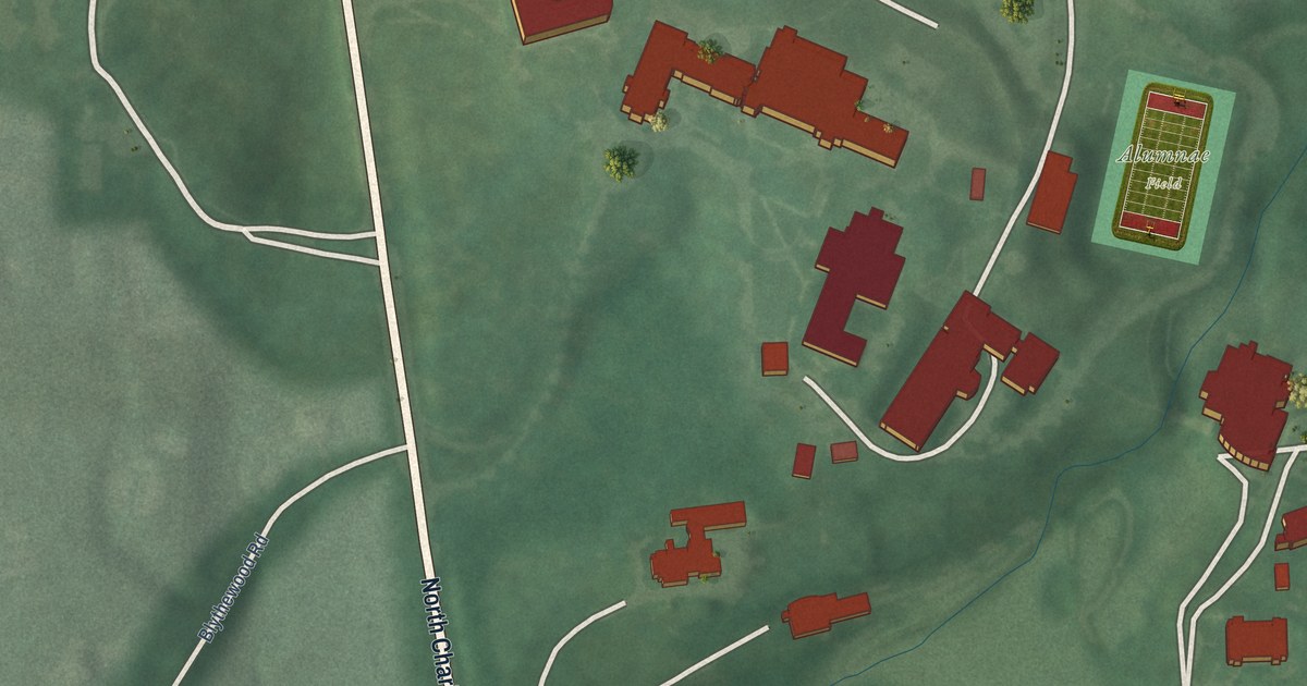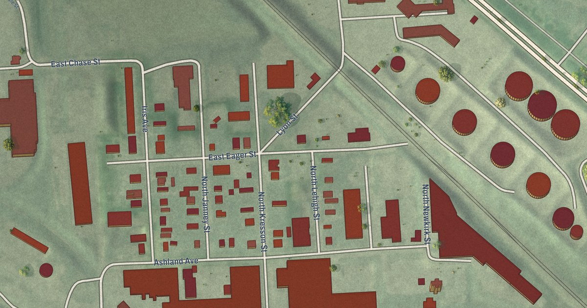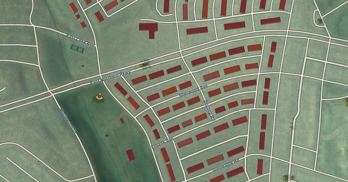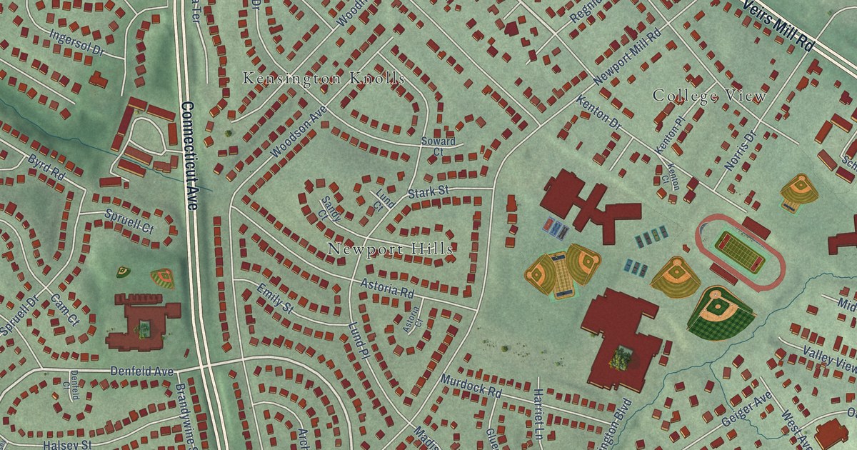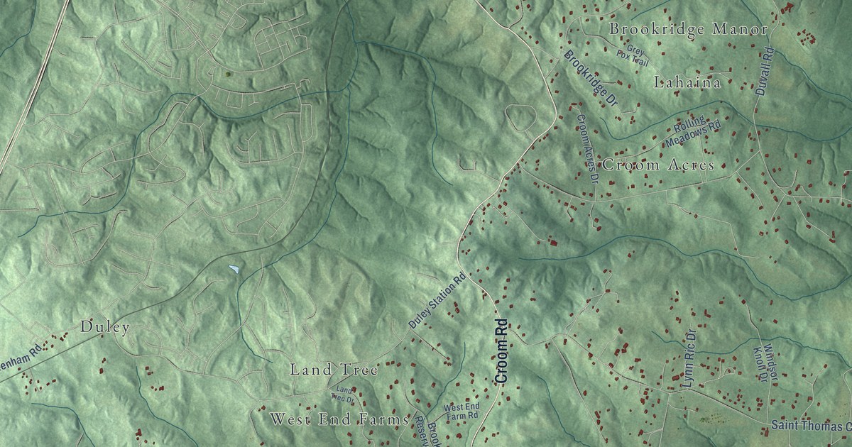
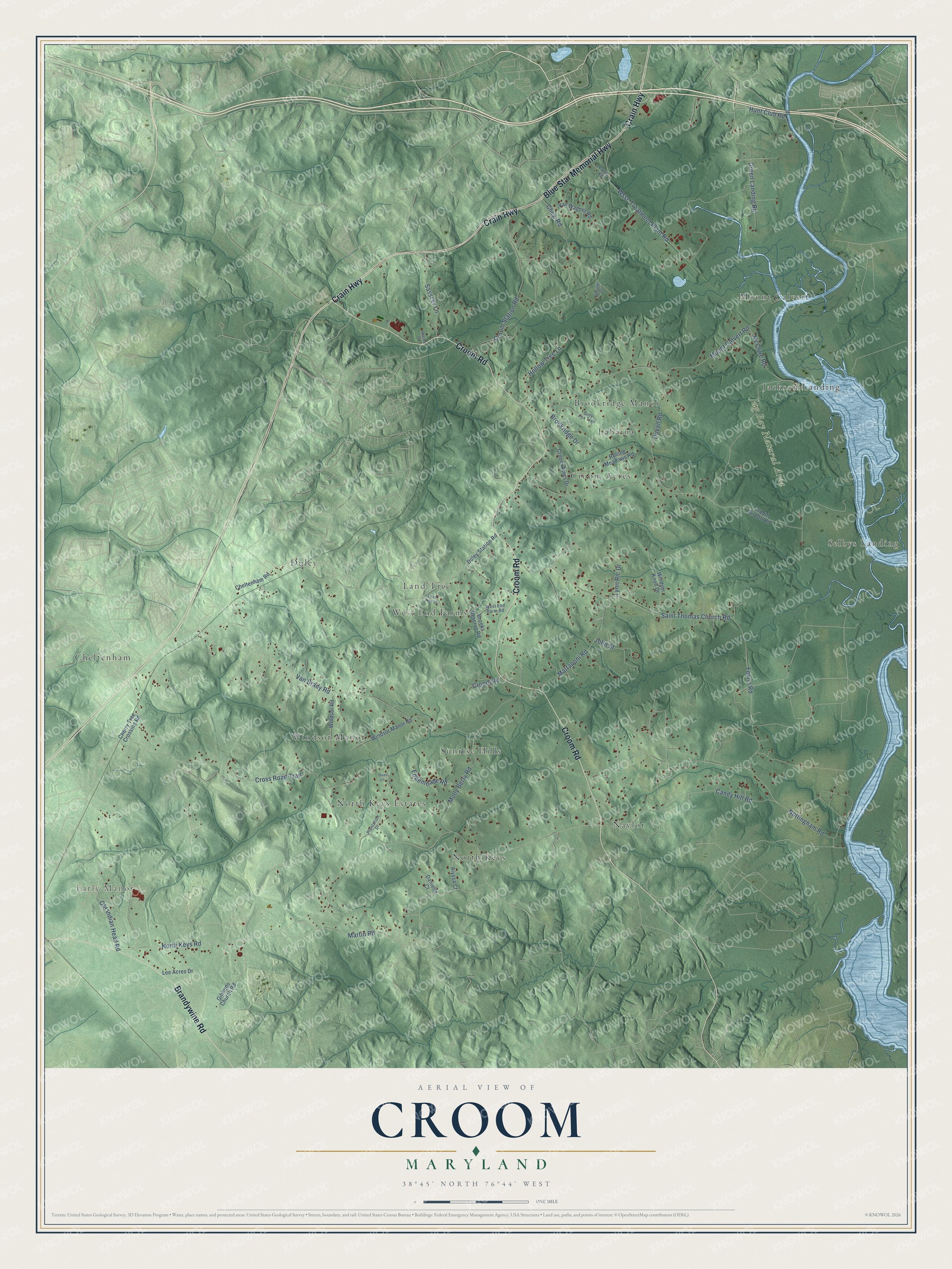
This beautifully detailed map of Croom, Maryland was created in 2026 using aerial imagery combined with modern topographical, census, street and landmark data. It’s a one-of-a-kind view of Croom that combines accurate data with a vintage aesthetic. The map shows every building in its true location, many of the roads carry their names, and the shaded topographic relief shows the shape of the land.
Explore an aerial view of Croom, Maryland
On the map you’ll find Early Manor, Jug Bay Natural Area, Duley, North Keys, Cheltenham, Croom Acres, Mount Calvert, Naylor, West End Farms, Windsor Manor, Selbys Landing, Jackson Landing, and more. If you look closely you can even find your house accurately drawn in its correct location. Zoom in on the preview to look for yours.
Did You Know?
The village of Croom took its name from Croom, the 500-acre Claggett plantation, and grew up around Page's Chapel, the brick chapel Daniel Page built on his own land. Its first service is generally said to have been held on Christmas Day, December 25, 1745. The chapel is known today as St. Thomas' Church. Thomas John Claggett, who inherited Croom in 1756, became the first Episcopal bishop consecrated on American soil. That's from the Maryland Historical Trust.
Take a closer look at the Croom map
Names on this map
These names are printed on this map.
Places: Early Manor, Jug Bay Natural Area, Duley, North Keys, Cheltenham, Croom Acres, Mount Calvert, Naylor, West End Farms, Windsor Manor, Selbys Landing, Jackson Landing, Sunrise Hills, North Keys Estates, Lahaina, Brookridge Manor and Land Tree.
Streets and roads: Blue Star Memorial Highway, Crain Highway, Croom Road, Brandywine Road, North Keys Road, Van Brady Road, Candy Hill Road, Mount Calvert Road, Nottingham Road, Cross Road Trail, Croom Station Road, Molly Berry Road.
More street names, A to Z
Alyssa Court, Brookridge Drive, Brooks Reserve Road, Cheltenham Road, Cherry Tree Crossing Road, Chew Road, Croom Acres Drive, Croom Airport Road, Curtis Road, Danielle Court, Deville Court, Duley Station Road, Duvall Road, Edgemeade Road, Fenno Road, Gibbons Church Road, Green Landing Road, Grey Fox Trail, Hollow Tree Lane, Hunt Club Road, Jolin Street, Land Tree Drive, Lee Acres Drive, Lynn Ric Drive, Martin Road, Mattaponi Road, McClure Road, Old Indian Head Road, Plantation Drive, Quail Lane, Rolling Meadows Road, Saint Thomas Church Road, Sasscer Lane, Station Drive, Van Wagner Road, West End Farm Road, Windsor Knoll Drive, Windsor Manor Road, Windsor Road, Wssc Treatment Plant Road.
See it on a wall
The Croom map as a framed print. Swipe for more.


This beautifully detailed map of Croom makes an attractive addition to your office, library, or den, and it can even be used to teach children the geography and history of the area. It also makes a great gift for anyone who grew up in Croom or moved away. When you’re done exploring, click here to get your copy of the Croom map.