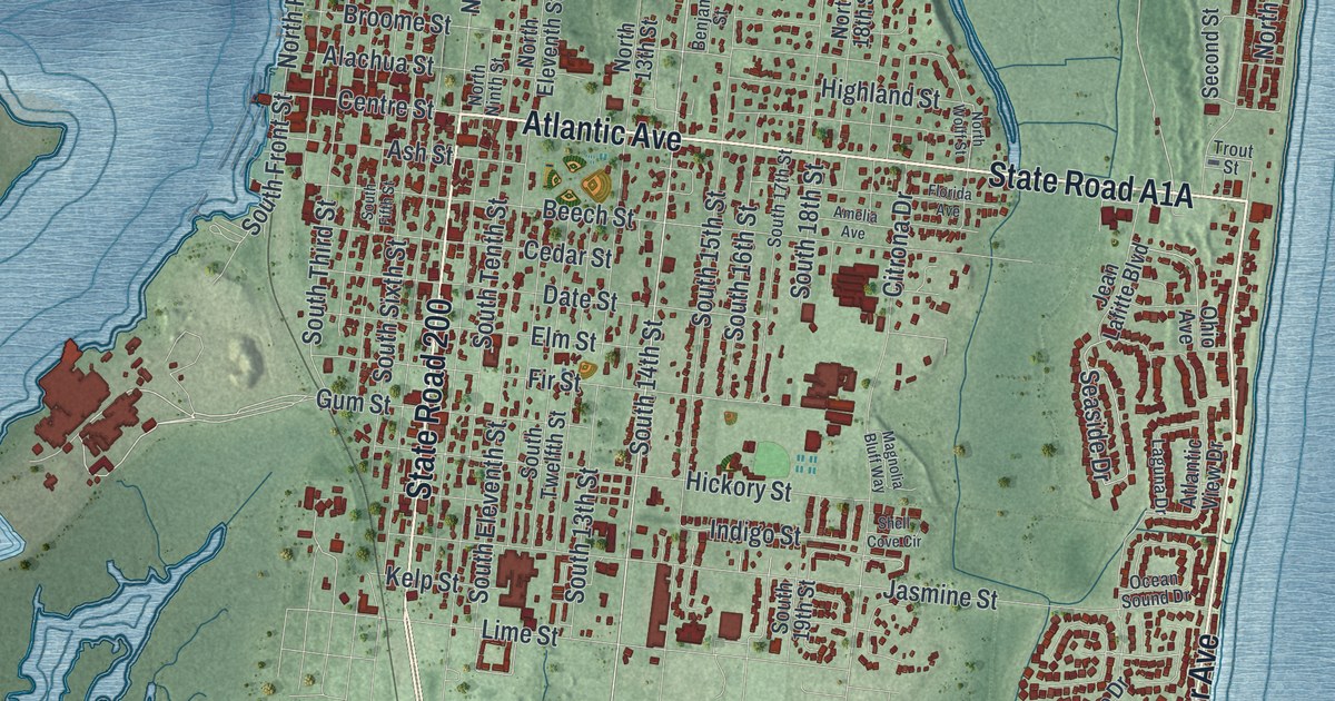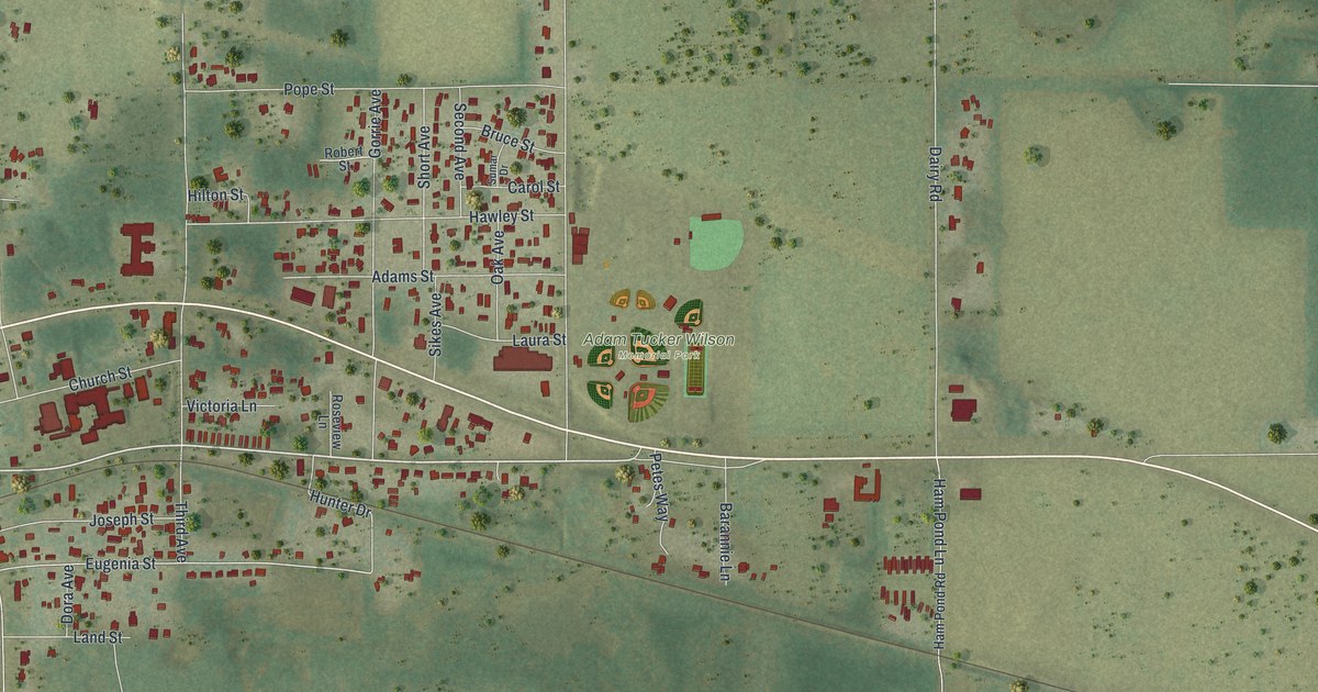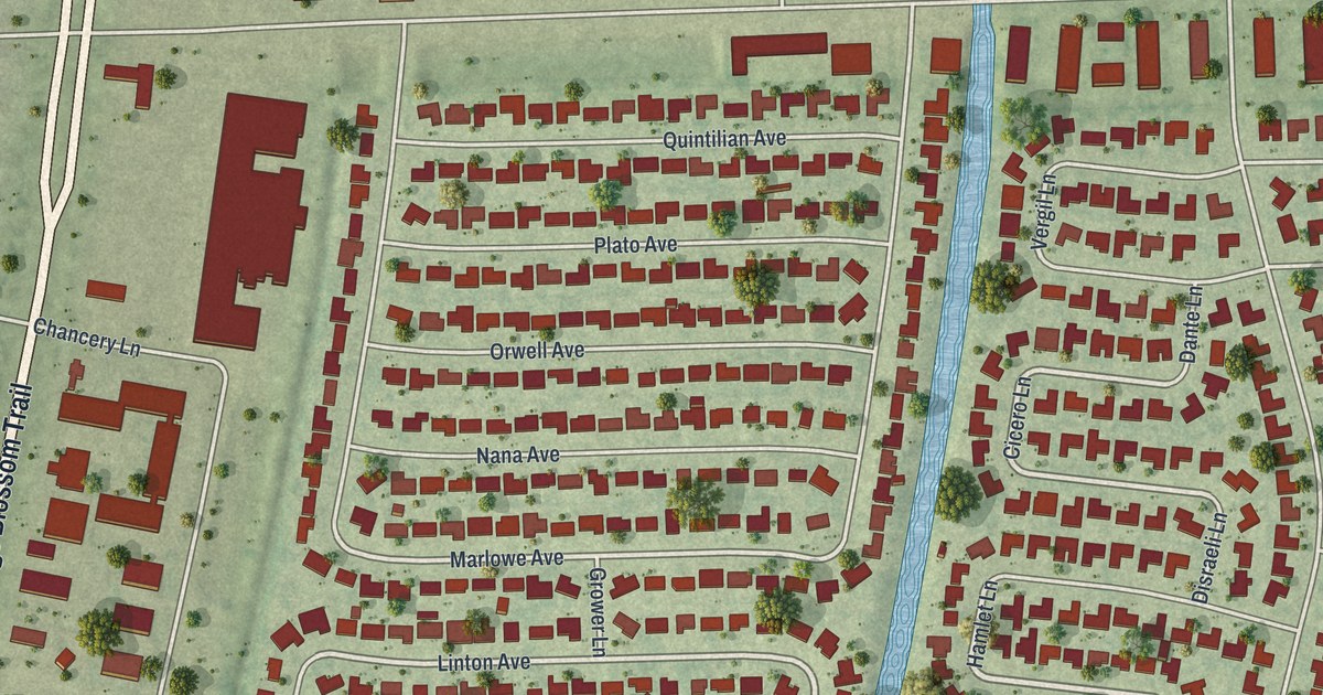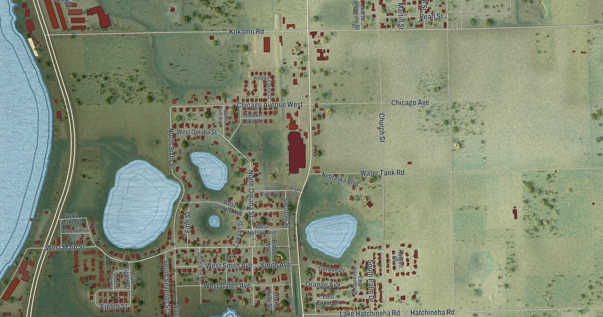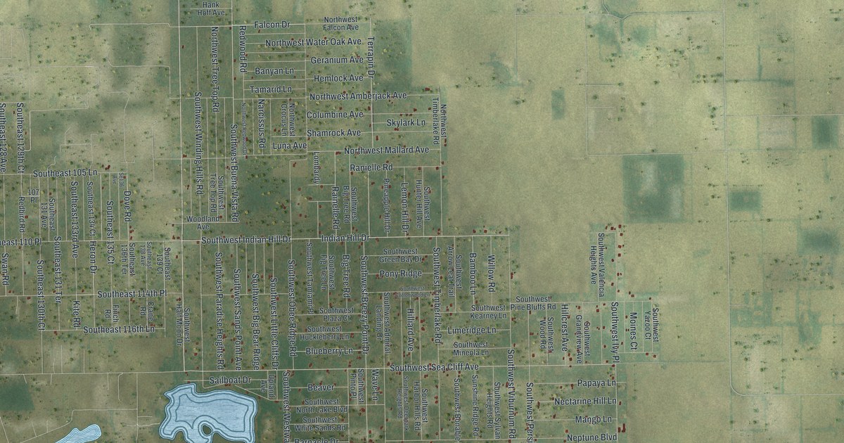
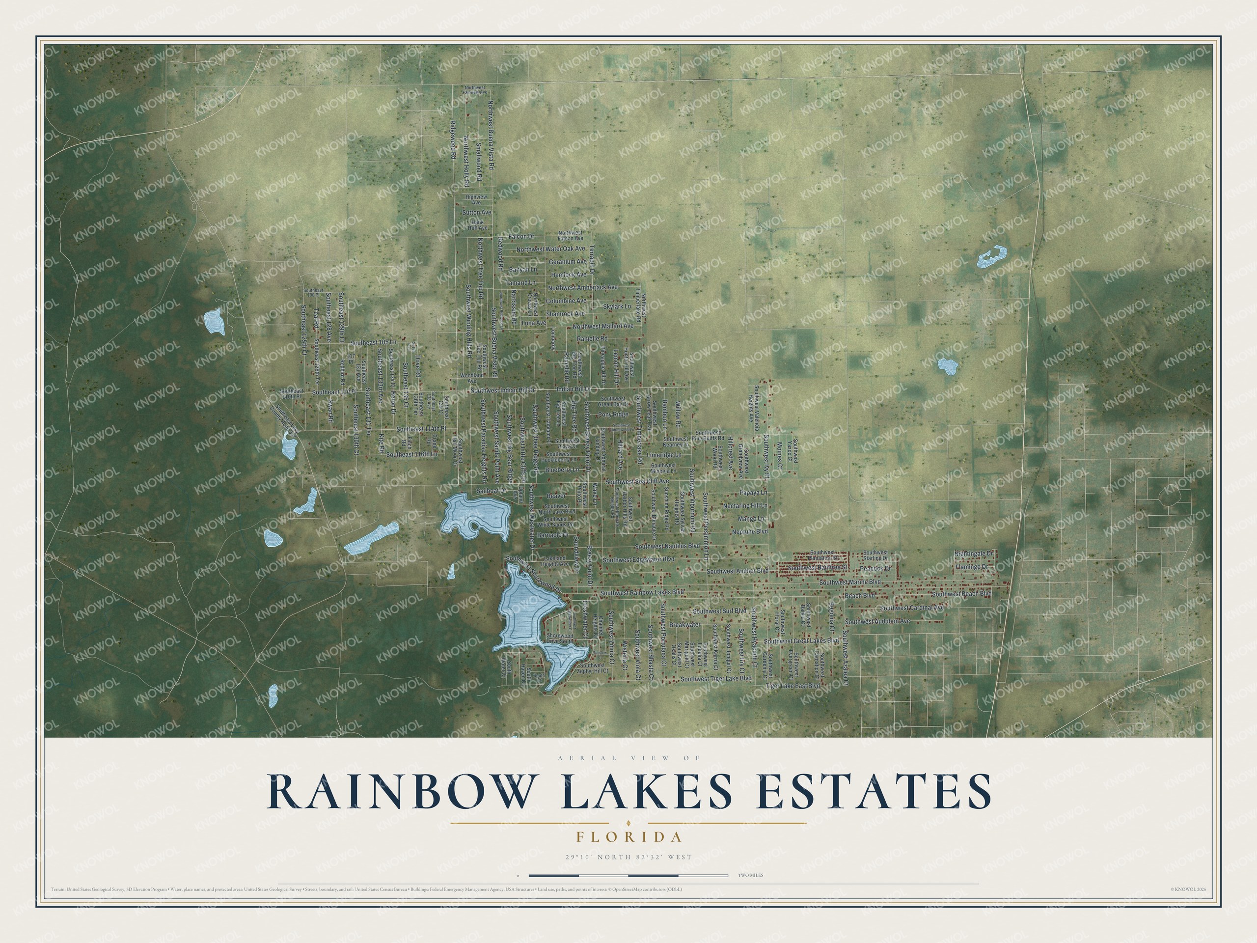
This beautifully detailed map of Rainbow Lakes Estates, Florida was created in 2026 using aerial imagery combined with modern topographical, census, street and landmark data. It's a modern aerial view of Rainbow Lakes Estates in Marion County, Florida, that combines modern data with a vintage aesthetic. The roads feature printed names, and if you look closely you can find your exact house accurately shown in its correct location.
Explore an aerial view of Rainbow Lakes Estates, Florida
On this map you'll find Falcon Drive, Northwest Buena Vista Road, Southwest Buena Vista Road, Southwest Sea Cliff Avenue, Ridgewood Road, Heron Drive, Indian Hill Drive, Dove Road, Southwest Indian Hill Drive, Kite Road, Southwest Winding Hills Road, Teal Road, and more. Each red shape is a building, so zoom in on the preview and look for yours.
Rainbow Lakes Estates is a community in Marion County. The Census Bureau counted 3,438 people here in 2020. Rainbow Lakes Estates sits about 6 miles northwest of Rainbow Springs, 9 miles northwest of Dunnellon and 9 miles west of Rainbow Park. The map prints the town name in its title panel, with the coordinates below it.
Take a closer look at the Rainbow Lakes Estates map
Names on this map
These names are printed on this map.
Streets and roads: Falcon Drive, Northwest Buena Vista Road, Southwest Buena Vista Road, Southwest Sea Cliff Avenue, Ridgewood Road, Heron Drive, Indian Hill Drive, Dove Road, Southwest Indian Hill Drive, Kite Road, Southwest Winding Hills Road, Teal Road.
More street names, A to Z
107 Place, Bamboo Lane, Banyan Lane, Barnacle Drive, Beach Boulevard, Beaver, Begonia Court, Big Tree Road, Blueberry Lane, Breakwater, Breezy Point Drive, Channel Heights Court, Columbine Avenue, Crane Road, Finch Road, Flamingo Drive, Freshwater Court, Geranium Avenue, Hank Hoff Avenue, Hemlock Avenue, Highview Avenue, Hillcrest Avenue, Hilliard Avenue, Lakeland Heights Avenue, Lemon Hill Drive, Limeridge Lane, Lombardy, Luna Avenue, Mango Lane, Moines Court, Narcissus Road, Nectarine Hill Lane, Neptune Boulevard, Nightingale Drive, Northwest Amberjack Avenue, Northwest Crocus Lane, Northwest Fairview Avenue, Northwest Falcon Avenue, Northwest Holly Road, Northwest Mallard Avenue, Northwest Redwood Drive, Northwest Timberlake Road, Northwest Tree Top Road, Northwest Water Oak Avenue, Papaya Lane, Peacock Drive, Pineapple Hill Drive, Pony Ridge, Rainelle Road, Ranielle Road, Redbird Road, Redwood Road, Sailboat Drive, Se136 Avenue, Shamrock Avenue, Shorewood Drive South, Skylark Lane, Smallwood Road, Soundview Drive, South Court, Southeast 100 Place, Southeast 105 Lane, Southeast 110 Place, Southeast 110th Place, Southeast 114th Place, Southeast 116th Lane, Southeast 125th Court, Southeast 126th Terrace, Southeast 128 Avenue, Southeast 129th Court, Southeast 130th Court, Southeast 131 Avenue, Southeast 131 Terrace, Southeast 133rd Avenue, Southeast 134 Court, Southeast 135 Court, Southeast 136th Terrace, Southeast 138 Avenue, Southeast 139 Court, Southeast Levy County Road 337, South Haven Court, South Water Court, Southwest Admiral Landing Drive, Southwest Anchor Boulevard, Southwest Arrow Leaf Trail, Southwest Audubon Avenue, Southwest Azalea Court, Southwest Beach Boulevard, Southwest Big Bear Ridge, Southwest Big Tree Road, Southwest Bonable Drive, Southwest Breezy Point Drive, Southwest Cardinal Avenue, Southwest Carnation Court, Southwest Cottonwood Lane, Southwest Dahlia Court, Southwest Deepwater Court, Southwest Deerpark Heights Road, Southwest Edgewater Boulevard, Southwest Evergreen Court, Southwest Fig Tree Lane, Southwest Floral Court, Southwest Gardenia Court, Southwest Grandview Avenue, Southwest Great Lakes Boulevard, Southwest Green Bay Drive, Southwest Half Moon Drive, Southwest Harbor Hills Road, Southwest Huckleberry Lane, Southwest Hunter Hill Avenue, Southwest Hyacinth Court, Southwest Iris Court, Southwest Ivy Place, Southwest Jonquil Court, Southwest Kearney Lane, Southwest Kerria Court, Southwest Little Cliffs Drive, Southwest Lobelia Court, Southwest Marigold Court, Southwest Marine Boulevard, Southwest Mineola Lane, Southwest Nautilus Boulevard, Southwest North Lake Boulevard, Southwest Obee Ridge Road, Southwest Oxalis Court, Southwest Paradise Heights Road, Southwest Persimmon Lane, Southwest Pine Bluffs Road, Southwest Pinto Place, Southwest Plantation Street, Southwest Plaza Court, Southwest Portulaca Court, Southwest Rainbow Lakes Boulevard, Southwest Raintree Street, Southwest Sands Point Avenue, Southwest Shasta Court, Southwest Shorewood Drive, Southwest Starling Drive, Southwest Surf Boulevard, Southwest Sylvan Heights Road, Southwest Tamiami Place, Southwest Tiger Lake Boulevard, Southwest Timberlake Road, Southwest Tree Top Road, Southwest Valencia Heights Avenue, Southwest Viburnum Road, Southwest Viola Court, Southwest Westwater Drive, Southwest White Sands Road, Southwest Wood Road, Southwest Yazoo Court, Southwest Zephyr Hill Court, Southwest Zinnia Court, Sunshine Ridge Road, Sutton Avenue, Swan Road, Tamarid Lane, Tamarix Court, Terrapin Drive, Tiger Lake East Boulevard, Upland Avenue, Wave Lane, Willow Road, Wisteria Court, Woodland Avenue.
See it on a wall
The Rainbow Lakes Estates map as a framed print. Swipe for more.


Created by KNOWOL in 2026. The buildings are small red shapes, the roads carry their printed names, and shaded relief shows the shape of the land. The title panel reads "AERIAL VIEW OF RAINBOW LAKES ESTATES, FLORIDA" with 29°10' NORTH 82°32' WEST.
It looks right in a kitchen, an office or a den, and it's a gift for anyone who grew up in Rainbow Lakes Estates or moved away. Open the preview and find your street. See sizes and frames for the Rainbow Lakes Estates map.