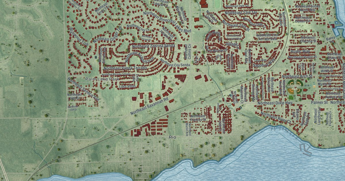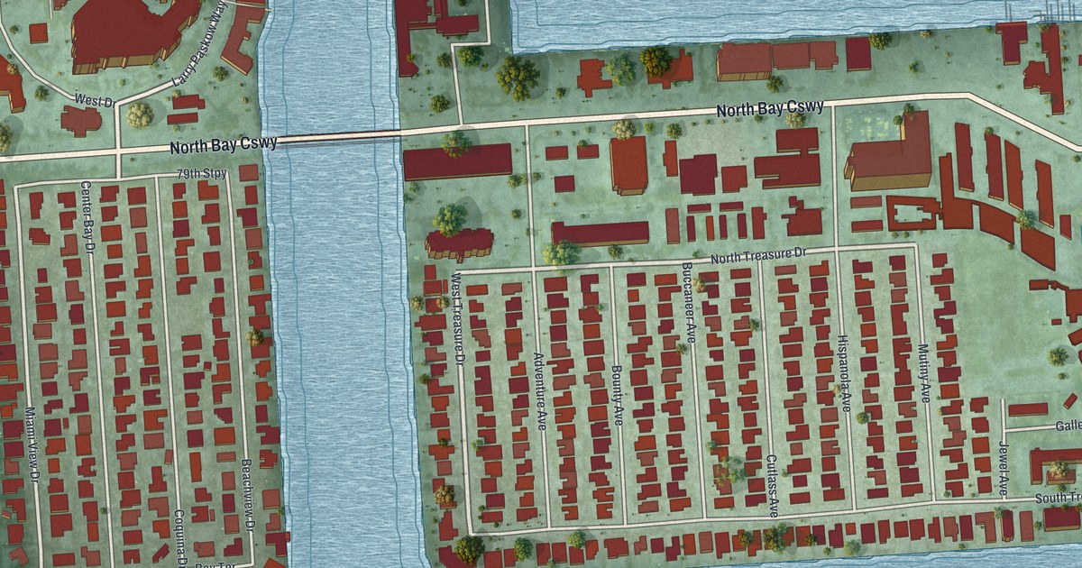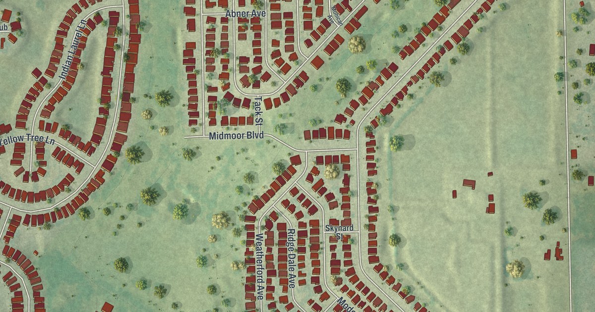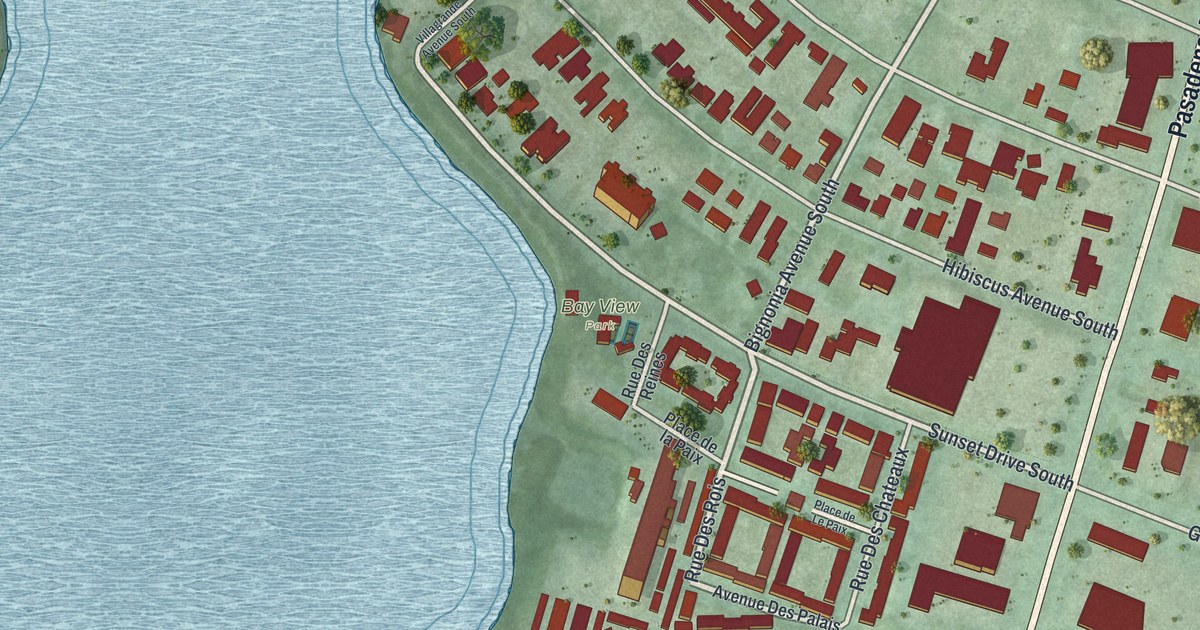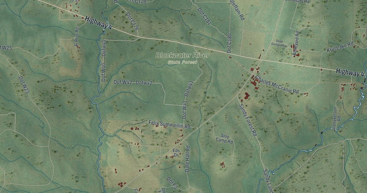
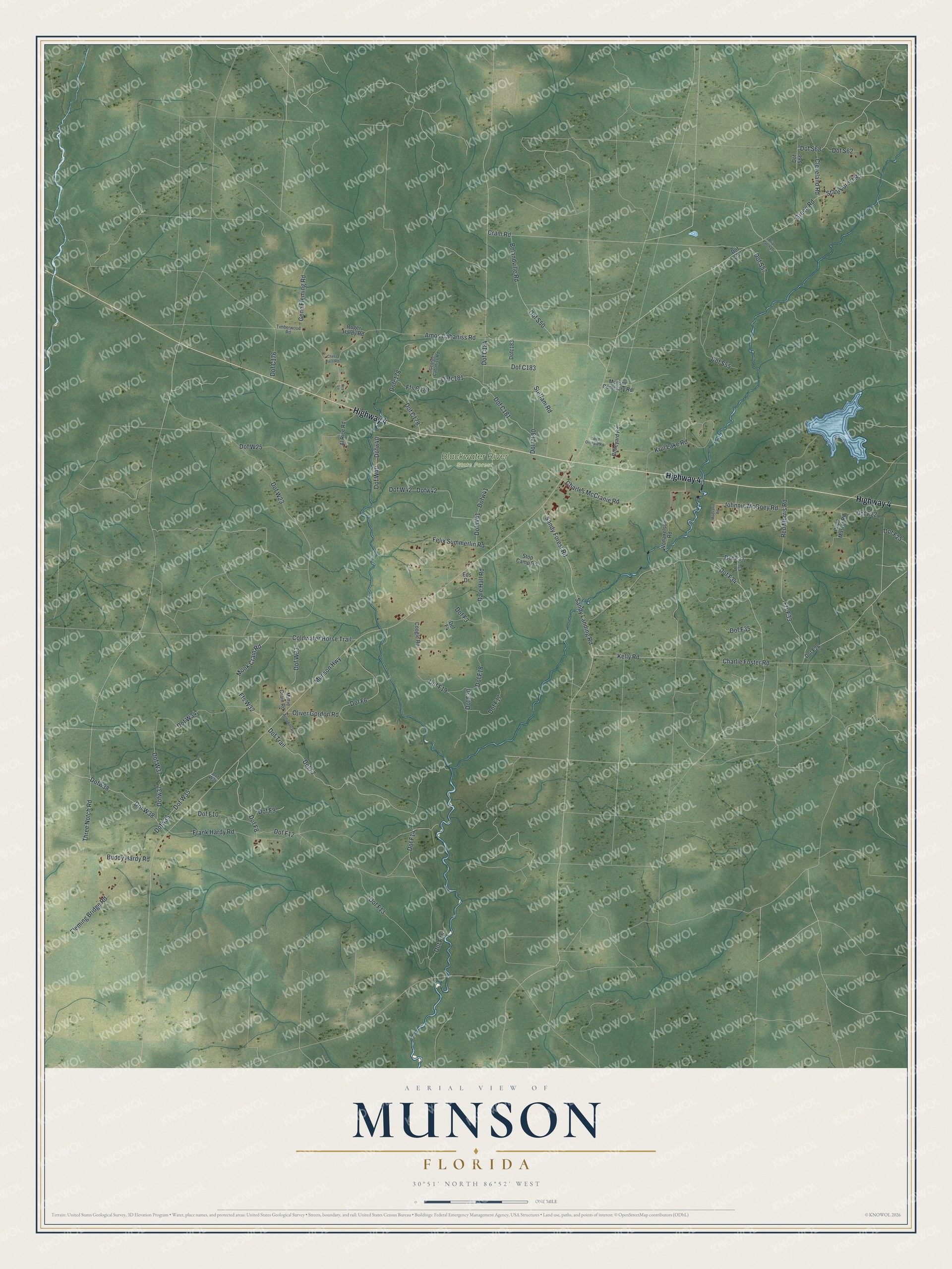
This beautifully detailed map of Munson, Florida was created in 2026 using aerial imagery combined with modern topographical, census, street and landmark data. It's a modern aerial view of Munson in Santa Rosa County, Florida, that combines modern data with a vintage aesthetic. The roads feature printed names, and if you look closely you can find your exact house accurately shown in its correct location.
Explore an aerial view of Munson, Florida
On this map you'll find Blackwater River State Forest, Highway 4, Dof Trail, Dof F34, Ffs F33, Green Road, Sandy Forest Road, Sandy Landing Road, Monk Crain Road, Red Morris Road, Ffs W32, Kelly Road, and more. Each red shape is a building, so zoom in on the preview and look for yours.
Here is a piece of Munson history. Munson was the logging center for the great lumber mills at Bagdad. In 1903 a Chicago syndicate took over the Bagdad mills as the Stearns and Culver Lumber Company. It employed 600 men in its mills, yards, shops and railways, and its logging operations at Munson employed still more. That's from the National Register of Historic Places.
Munson is a community in Santa Rosa County. The Census Bureau counted 326 people here in 2020.
Take a closer look at the Munson map
Names on this map
These names are printed on this map.
Places: Blackwater River State Forest.
Streets and roads: Highway 4, Dof Trail, Dof F34, Ffs F33, Green Road, Sandy Forest Road, Sandy Landing Road, Monk Crain Road, Red Morris Road, Ffs W32, Kelly Road, State Forest Road.
More street names, A to Z
Al Rice Road, Amos Cabaniss Road, Armadillo Road, Belandville Road, Boneyard Road, Briar Patch Lane, Buddy Hardy Road, Charles McCranie Road, Charlie Foster Road, Chess Bass Road, Cleveland Road, Coldwater Horse Trail, Coogle Road, Crain Road, Dale Hall Road, Dofc178, Dofc181, Dofc183, Dof F3, Dof F4, Dof F6, Dof F7, Dof F8, Dof F9, Dof F10, Dof F12, Dof F13, Dof F14, Dof F15, Dof F17, Dof F18, Dof F19, Dof F20, Dof F22, Dof F25, Dof F26, Dof F35, Dof F36, Dof F37, Dof S50, Dof S53, Dof S55, Dof S57, Dof S62, Dof S66, Dof S68, Dof W23, Dof W25, Dof W33, Dof W34, Dof W35, Dofw35, Dof W36, Dof W37, Dofw37, Dof W38, Dofw38, Dof W40, Dofw40, Dof W41, Dofw41, Dof W42, Dofw42, Eds Drive, Felix Summerlin Road, Fleming Bridge Road, Foy Lane, Frank Hardy Road, Gene Fleming Road, George Cabaniss Road, Johnnie McGoey Road, Krul Lake Road, McCranie Road, Mittie Crain Road, Munson Cemetary Road, Munson Highway, Oliver Gordon Road, Pope Master Road, Roger Hardy Road, Seed Orchard Road, Steffani Road, Stop Camp Road, Three Notch Road, Timberwood Road, Vonaxelson Road.
See it on a wall
The Munson map as a framed print. Swipe for more.


Created by KNOWOL in 2026. The buildings are small red shapes, the roads carry their printed names, and shaded relief shows the shape of the land. The title panel reads "AERIAL VIEW OF MUNSON, FLORIDA" with 30°51' NORTH 86°52' WEST.
It suits a den, a classroom or a front hall, and it makes a gift for anyone with Munson roots. Open the preview and find the block you know. See sizes and frames for the Munson map.