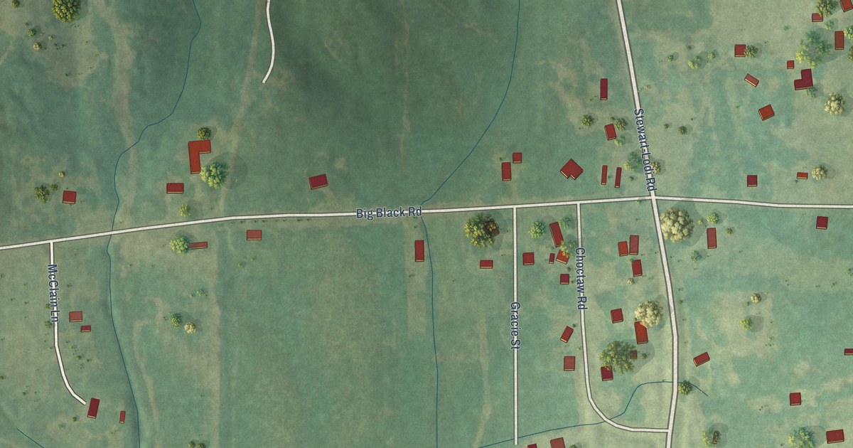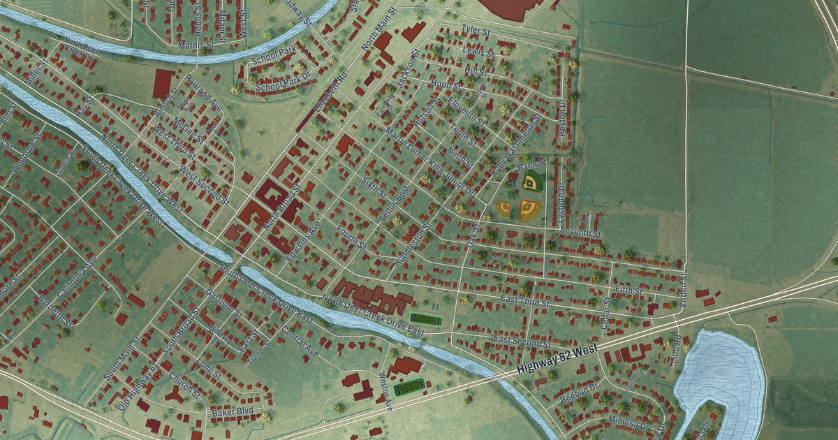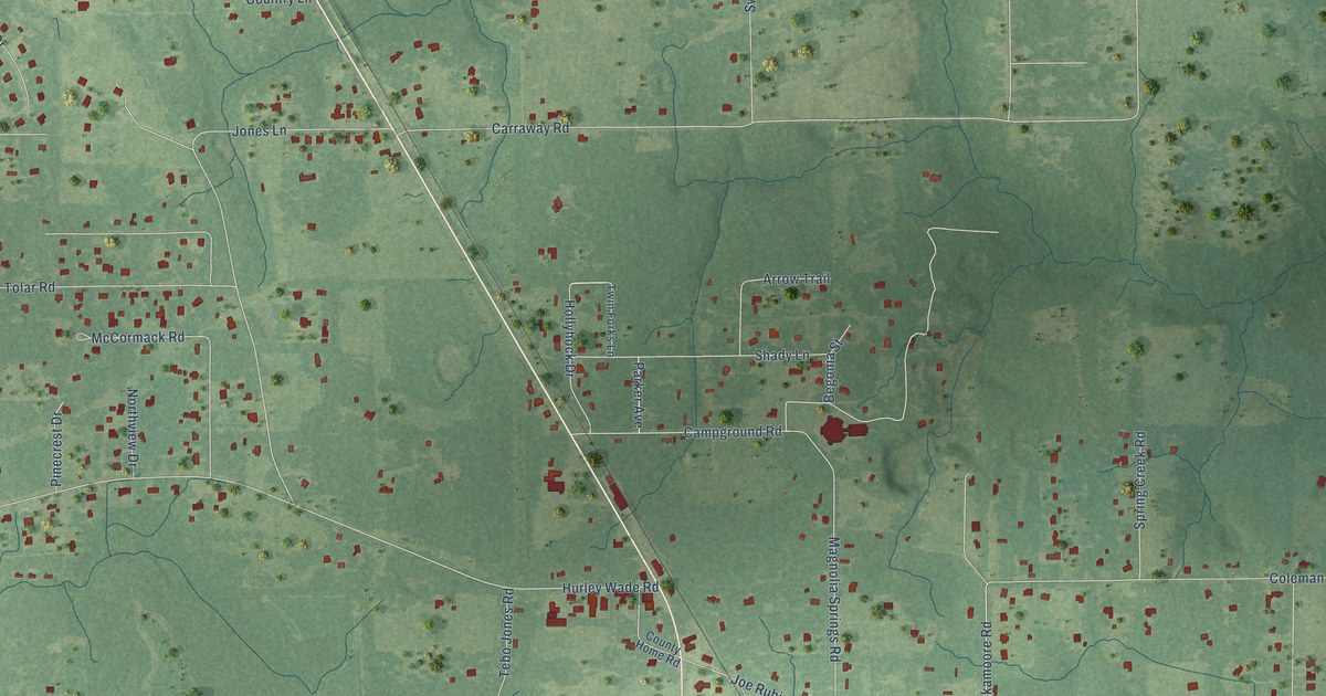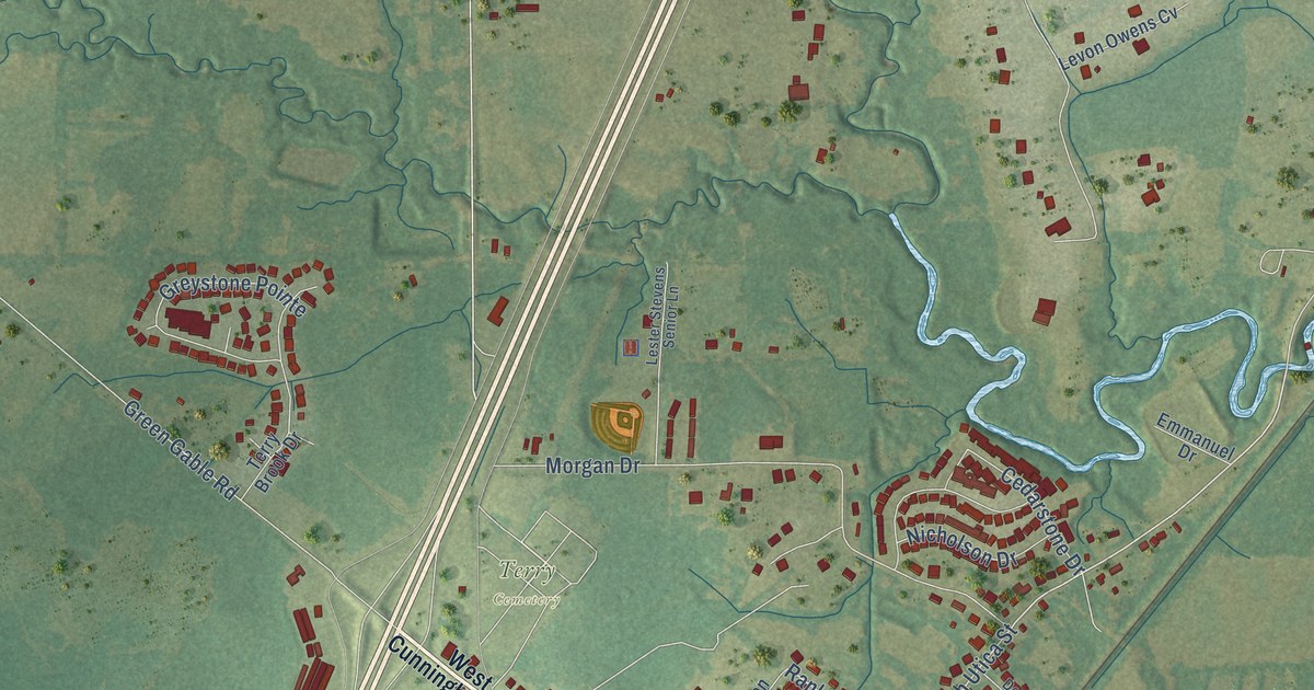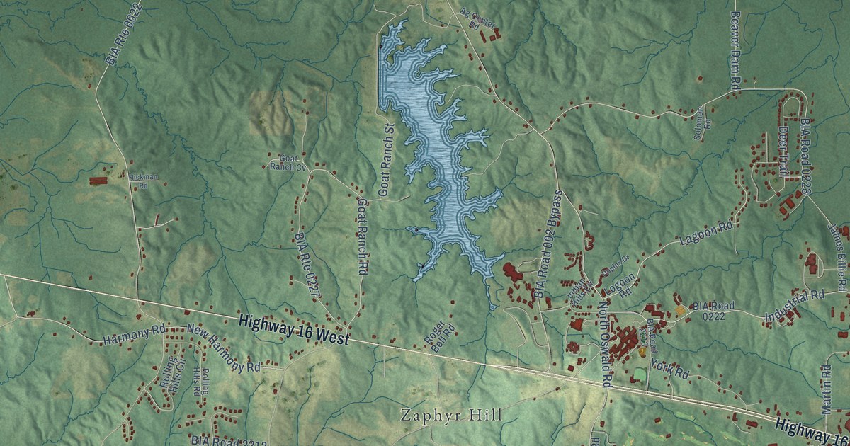
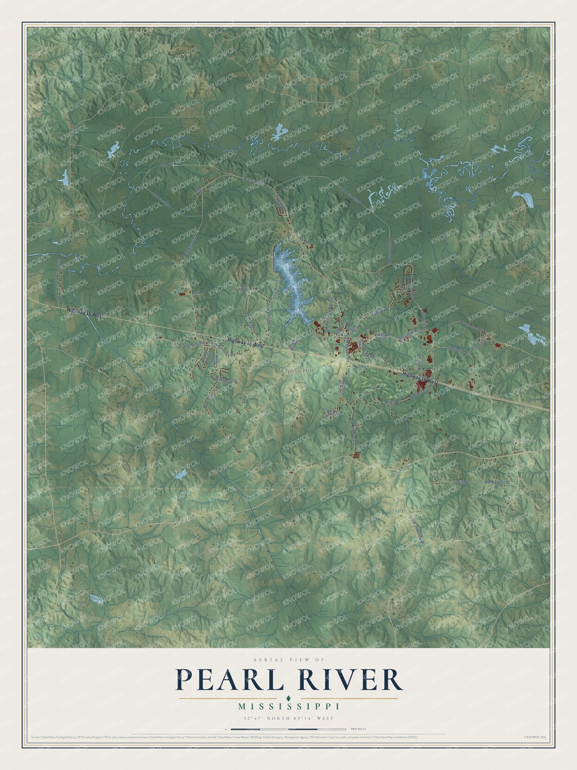
This beautifully detailed map of Pearl River, Mississippi was created in 2026 using aerial imagery combined with modern topographical, census, street and landmark data. It’s a one-of-a-kind view of Pearl River that combines accurate data with a vintage aesthetic. The map shows every building in its true location, many of the roads carry their names, and the shaded topographic relief shows the shape of the land.
Explore an aerial view of Pearl River, Mississippi
On the map you’ll find Fairview, Trapp, Zaphyr Hill, and BIA Road 0223, along with Highway 16 West, Industrial Road, Industrial Drive, Blackjack Road, Lagoon Road, North Oswald Road, BIA Road 002 Bypass, Jim Road, and more. If you look closely you can even find your house accurately drawn in its correct location. Zoom in on the preview to look for yours.
Did You Know?
Pearl River is the largest of the eight communities of the Mississippi Band of Choctaw Indians and the home of Tribal government headquarters. In Choctaw its name is Bihhi Áyásha, the place where mulberries are. Each of the Choctaw communities carries a name drawn from landmarks, wildlife or other features important to the Tribe. That's from the Mississippi Band of Choctaw Indians.
Take a closer look at the Pearl River map
Names on this map
These names are printed on this map.
Places: Fairview, Trapp and Zaphyr Hill.
Streets and roads: Highway 16 West, Industrial Road, BIA Route 0022, Industrial Drive, Blackjack Road, BIA Road 0223, BIA Route 0227, Lagoon Road, North Oswald Road, BIA Road 002 Bypass, Jim Road, BIA Road 2214.
More street names, A to Z
Ag Center Road, Ball Park Road, Beaver Dam Road, BIA Road 0022, BIA Road 0222, BIA Road 0225, BIA Road 0228, BIA Road 2212, BIA Road 2213, BIA Route 0221, BIA Route 2211, Deer Trail, Dixon Road, Duplex Drive, Frog Level, Frog Level Road, Goat Ranch Cv, Goat Ranch Road, Goat Ranch Street, Harmony Road, Hickman Road, Indian Hills Circle, Isaac Road, James Billie Road, Lewis Road, Logoon Road, Martin Road, New Harmony Road, Oscar Johnston Road, Rocksprings Trail, Roger Bell Road, Rolling Hills Circle, Rolling Hills Road, Solomon Road, South Oswald Road, Willis Road, Wolf Trail, York Road.
See it on a wall
The Pearl River map as a framed print. Swipe for more.


This beautifully detailed map of Pearl River makes an attractive addition to your office, library, or den, and it can even be used to teach children the geography and history of the area. It also makes a great gift for anyone who grew up in Pearl River or moved away. When you’re done exploring, click here to get your copy of the Pearl River map.