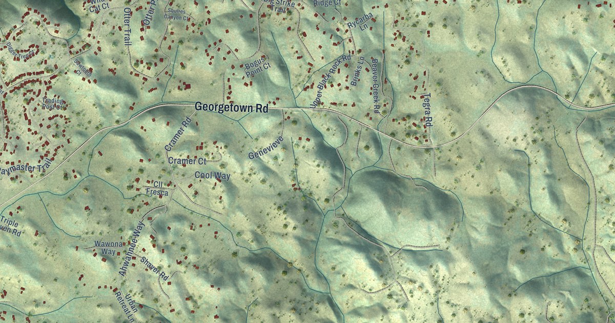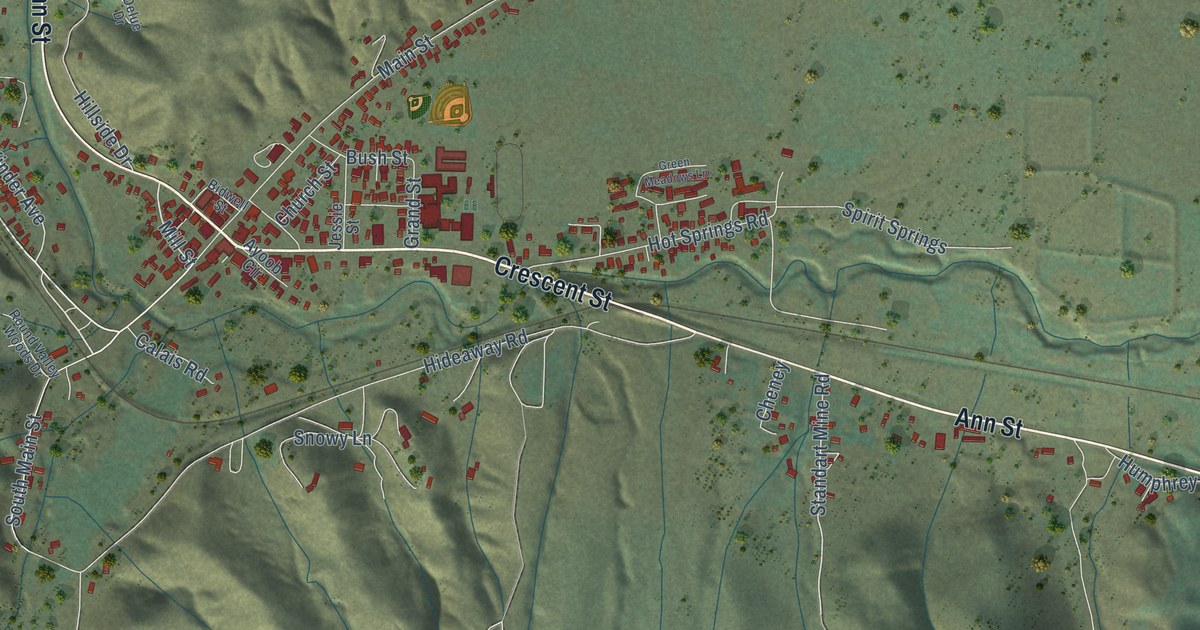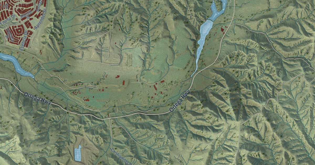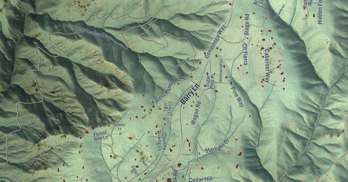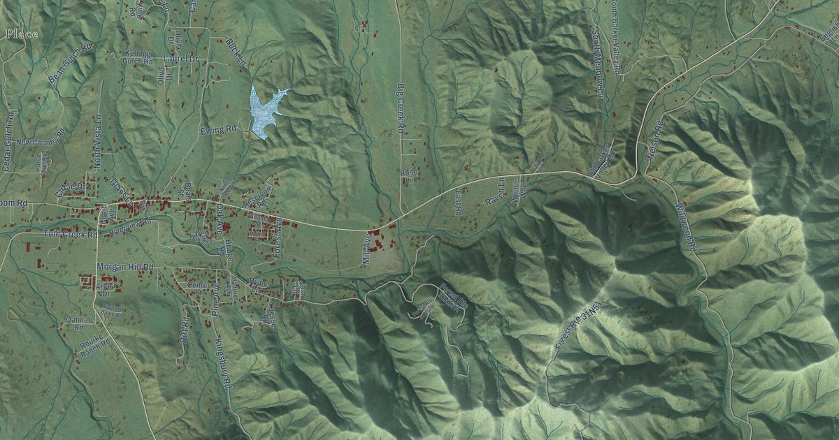
This beautifully detailed map of Hayfork, California was created in 2026 using aerial imagery combined with modern topographical, census, street and landmark data. It's a modern aerial view of Hayfork in Trinity County, California, that combines modern data with a vintage aesthetic. The roads feature printed names, and if you look closely you can find your exact house accurately shown in its correct location.
Explore an aerial view of Hayfork, California
On this map you'll find Luckie Place, Barker Valley Road, North Meadow Lane, Drinkwater Gulch Road, Tule Creek Road, Laurel Drive, Doctor Lane, Oak Avenue, North Vista Lane, Summit Creek Road, Kingsbury Road, Hyampom Road, and more. Each red shape is a building, so zoom in on the preview and look for yours.
Every town has a first chapter, and Hayfork is no exception. Hayfork was settled in 1851, during the Gold Rush. It was first known as Kingsbury or Kingsberrys, then South Fork, then Hay Town, and in 1854 it became Hayfork, a name taken from the hay and grain grown along the North Fork of the South Fork of the Trinity River. The Wintu people lived here first. They camped along the streams in winter and hunted in the mountains in summer, living on salmon, acorns, berries and small game. That's from the Jefferson Public Radio As It Was series.
Hayfork is a community in Trinity County. The Census Bureau counted 2,324 people here in 2020.
Take a closer look at the Hayfork map
Names on this map
These names are printed on this map.
Places: Luckie Place.
Streets and roads: Barker Valley Road, North Meadow Lane, Drinkwater Gulch Road, Tule Creek Road, Laurel Drive, Doctor Lane, Oak Avenue, Forest Route 10, North Vista Lane, Summit Creek Road, Kingsbury Road, Hyampom Road.
More street names, A to Z
Arena Drive, Barker Creek Road, Beals Street, Bean Gulch Road, Big Creek Road, Brady Road, Bridge Road, Browns Ranch Road, Buck Lane, Carr Creek Road, Carter Gulch Road, Cedar Gulch Road, Center Street, Circle Drive, Clinic Avenue, Demos Court, Dirt Road, Drinkwater Road, East Road, English Lane, Ewing Road, Farmer Mine Road, Farmer Ranch Road, Forest Avenue, Forest Route 16, Forest Route 31N17A, Forest Route 31N17B, Fox Lane, Garden Gulch Lane, Glass Lane, Green Gate Road, Hair Lane, Hayfork Dump Road, Horse Tail Road, Hunter Lane, Jessee Road, Jesse Road, Josh Lane, Kellogg Gulch Road, King Road, Kyes Road, Landacre Road, Madrone Avenue, Main Street, Mc Alexander Road, McAlexander Road, Michel Street, Mill Avenue, Morgan Hill Road, Nelson Road, New Country Road, North Oak Avenue, North Salt Creek Road, Oatman Road, Old Barker Valley Road, Oliva Drive, Olivia Drive, Phares Lane, Pine Avenue, Raven Lane, Reservoir Road, Riverview Road, Rose Lane, Rourke Ranch Road, Ryan Lane, Shasta Street, South Barker Valley Road, South Meadow Lane, South Salt Creek Road, Uchytil Lane, West Oak Avenue, Whittle Way, Wildwood Road, Wingert Road.
See it on a wall
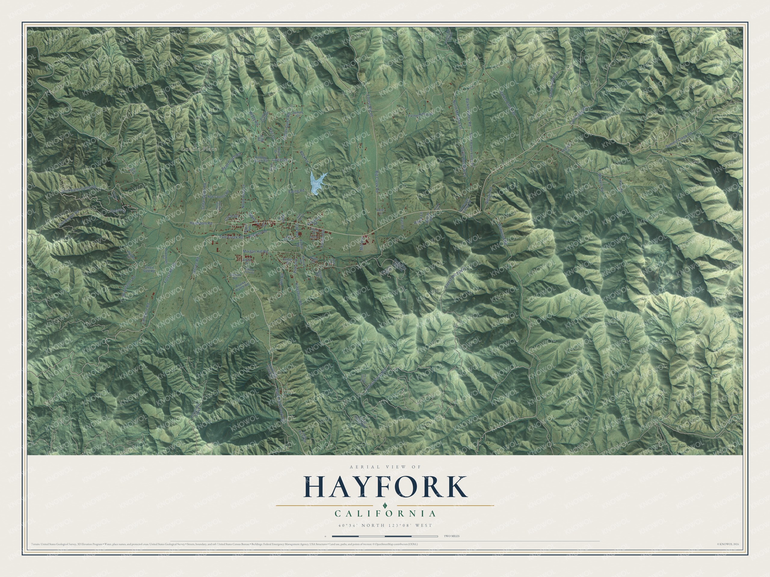
The Hayfork map as a framed print. Swipe for more.


Created by KNOWOL in 2026. The buildings are small red shapes, the roads carry their printed names, and shaded relief shows the shape of the land. The title panel reads "AERIAL VIEW OF HAYFORK, CALIFORNIA" with 40°34' NORTH 123°08' WEST.
Hang it in the hallway, the office or the cabin, or give it to someone who left Hayfork and still calls it home. Open the preview and look for a street you know. See sizes and frames for the Hayfork map.