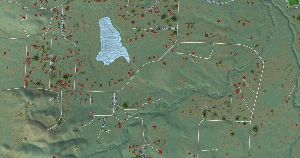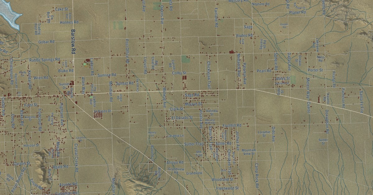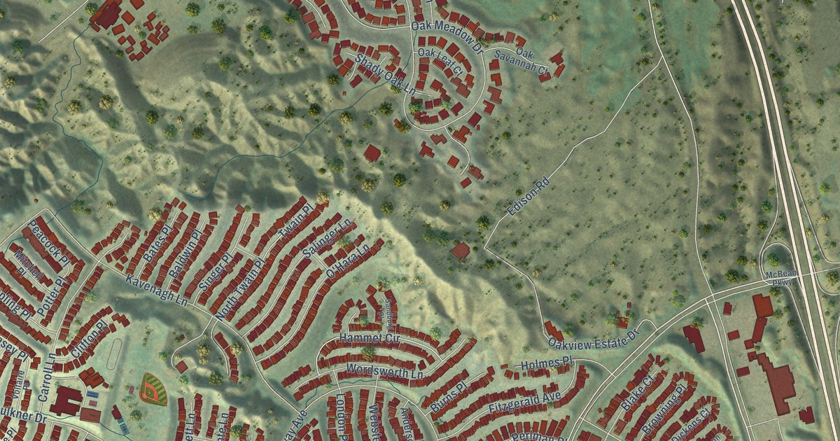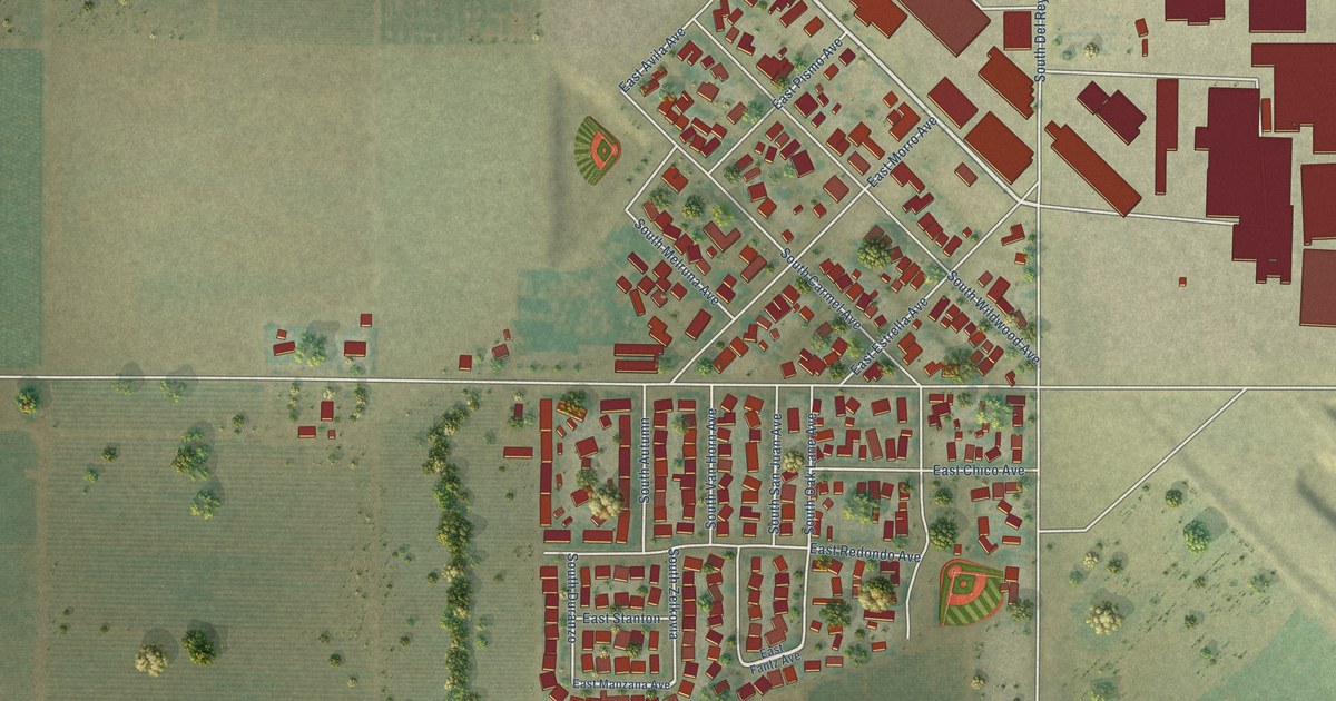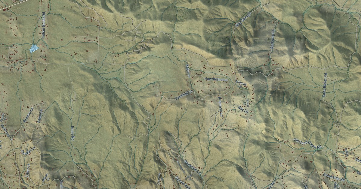
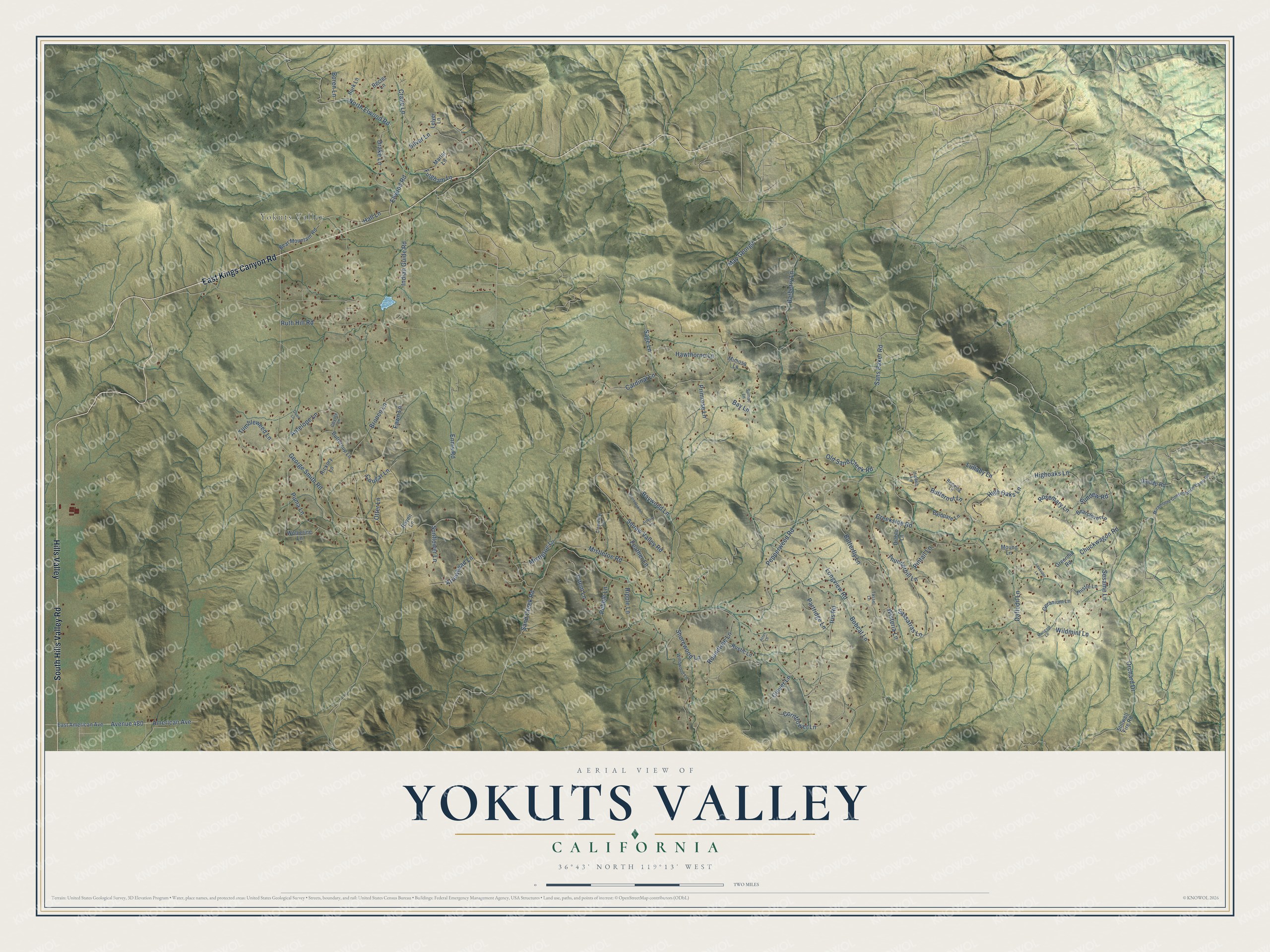
This beautifully detailed map of Yokuts Valley, California was created in 2026 using aerial imagery combined with modern topographical, census, street and landmark data. It’s a one-of-a-kind view of Yokuts Valley that combines accurate data with a vintage aesthetic. The map shows every building in its true location, many of the roads carry their names, and the shaded topographic relief shows the shape of the land.
Explore an aerial view of Yokuts Valley, California
On the map you’ll find Hills Valley, along with South Hills Valley Road, East Kings Canyon Road, Butternut Lane, Pepperweed Road, Wildmint Lane, Longview Road, Sand Creek Road, Chuckwagon Road, Cougar Lane, Ruth Hill Road, and more. If you look closely you can even find your house accurately drawn in its correct location. Zoom in on the preview to look for yours.
Did You Know?
Film actor Stuart Erwin was a native son of the valley, born in Fresno County. After Porterville Union High School and the University of California, he signed with Paramount, and by 1937 he had played in dozens of pictures, from The Cockeyed World and International House to Viva Villa and Pigskin Parade. That's from the International Motion Picture Almanac.
Take a closer look at the Yokuts Valley map
Names on this map
These names are printed on this map.
Places: Yokuts Valley.
Streets and roads: Hills Valley, South Hills Valley Road, East Kings Canyon Road, Butternut Lane, Pepperweed Road, Wildmint Lane, Longview Road, Sand Creek Road, Chuckwagon Road, Cougar Lane, Ruth Hill Road, George Smith Road.
More street names, A to Z
American Avenue, Antelope Lane, Arrowhead Lane, Artesia Lane, Aster Lane, Avenue 480, Baldpate Lane, Barberry Lane, Bay Lane, Baywood Lane, Bearclover Lane, Bear Mountain Road, Bobcat Lane, Boren Lane, Bronco Lane, Burk Lane, Buttercup Lane, Butterfly Lane, Cardinal Lane, Clearview Lane, Clover Lane, Cornflower Lane, Coyote Lane, Crane Lane, Creekside Road, Daffodil Lane, Deerbrook Lane, Diablo Lane, Drake Lane, Dunlap Road, East American Avenue, Elwood Road, Ennis Road, Fawn Lane, Feather Lane, Fulgham Lane, Geranium Lane, Greenhill Road, Hall Lane, Hawthorne Lane, Hickory Lane, Hidden Lane, High Oaks Lane, Highoaks Lane, Indian Guide Road, Iris Road, Lavender Lane, Lelyer Lane, Lullaby Lane, Marigold Lane, Marlar Lane, May George, Mimosa Lane, Miramonte Conservation Camp Road, Mistletoe Lane, Mistletoe Road, Mound Lane, North Elwood Road, Old Sand Creek Road, Orchard Drive, Otter Lane, Partridge Lane, Pebble Lane, Pintail Lane, Primrose Lane, Puma Lane, Quail Lane, Raven Lane, Recter Lane, Redwing Lane, Ripple Lane, Rosemary Lane, Roundtree Lane, Rustic Lane, Sage Lane, Sans Baker Road, Sassafras Lane, Sesame Lane, Shorewood Lane, Silver Lane, Stillwell Fire Road, Sumac Lane, Sundew Road, Sunflower Lane, Tassel Lane, Thistle Lane, Thunderhill Lane, Totem Lane, Tumbleweed Lane, Willowood Lane, Wisteria Lane, Wolverine Lane.
See it on a wall
The Yokuts Valley map as a framed print. Swipe for more.


This beautifully detailed map of Yokuts Valley makes an attractive addition to your office, library, or den, and it can even be used to teach children the geography and history of the area. It also makes a great gift for someone who left Yokuts Valley and still calls it home. When you’re done exploring, click here to get your copy of the Yokuts Valley map.