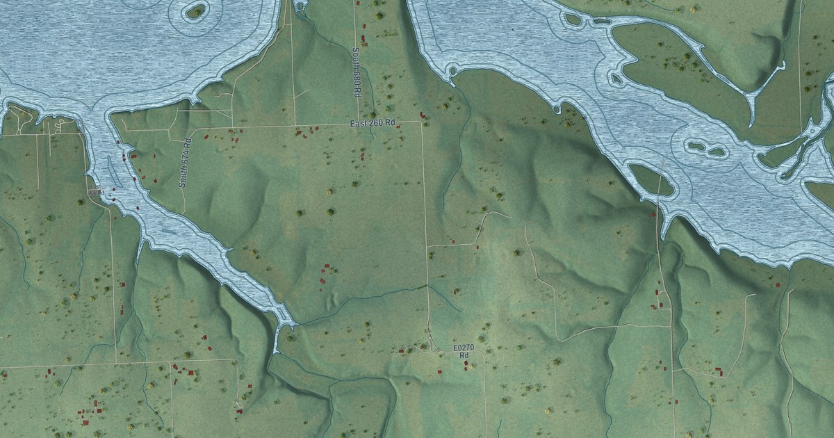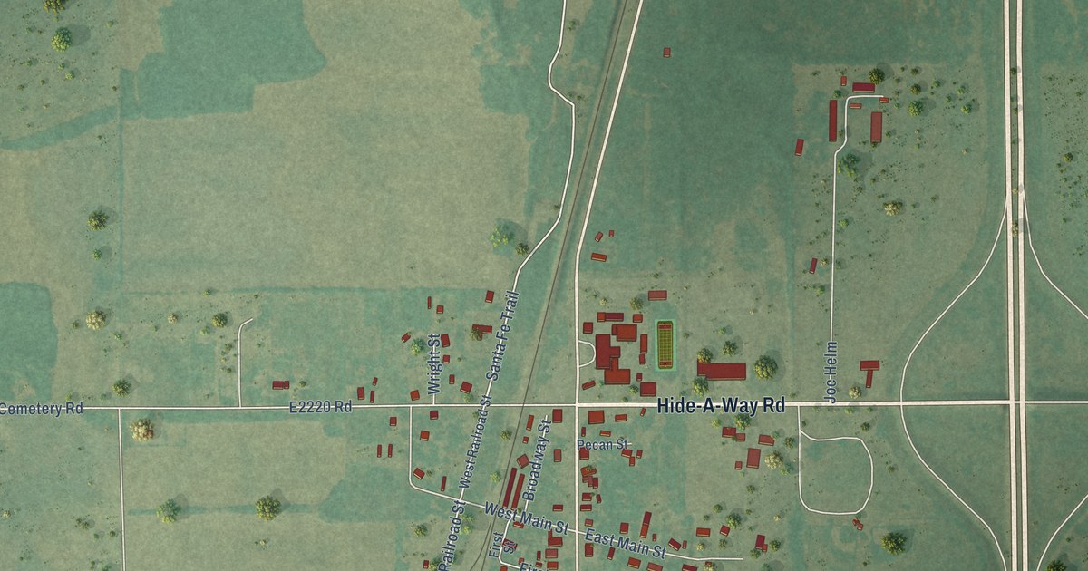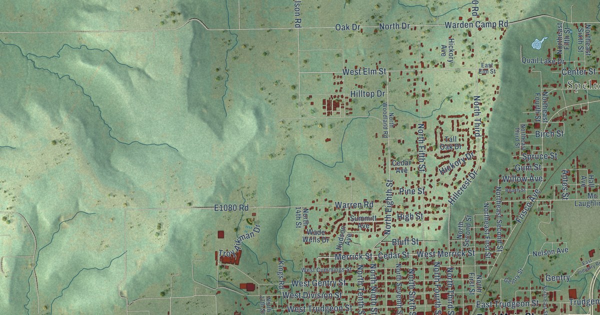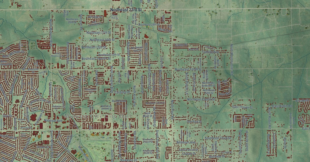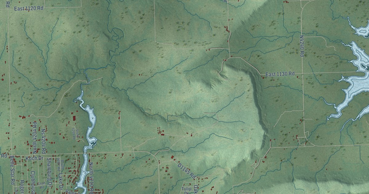
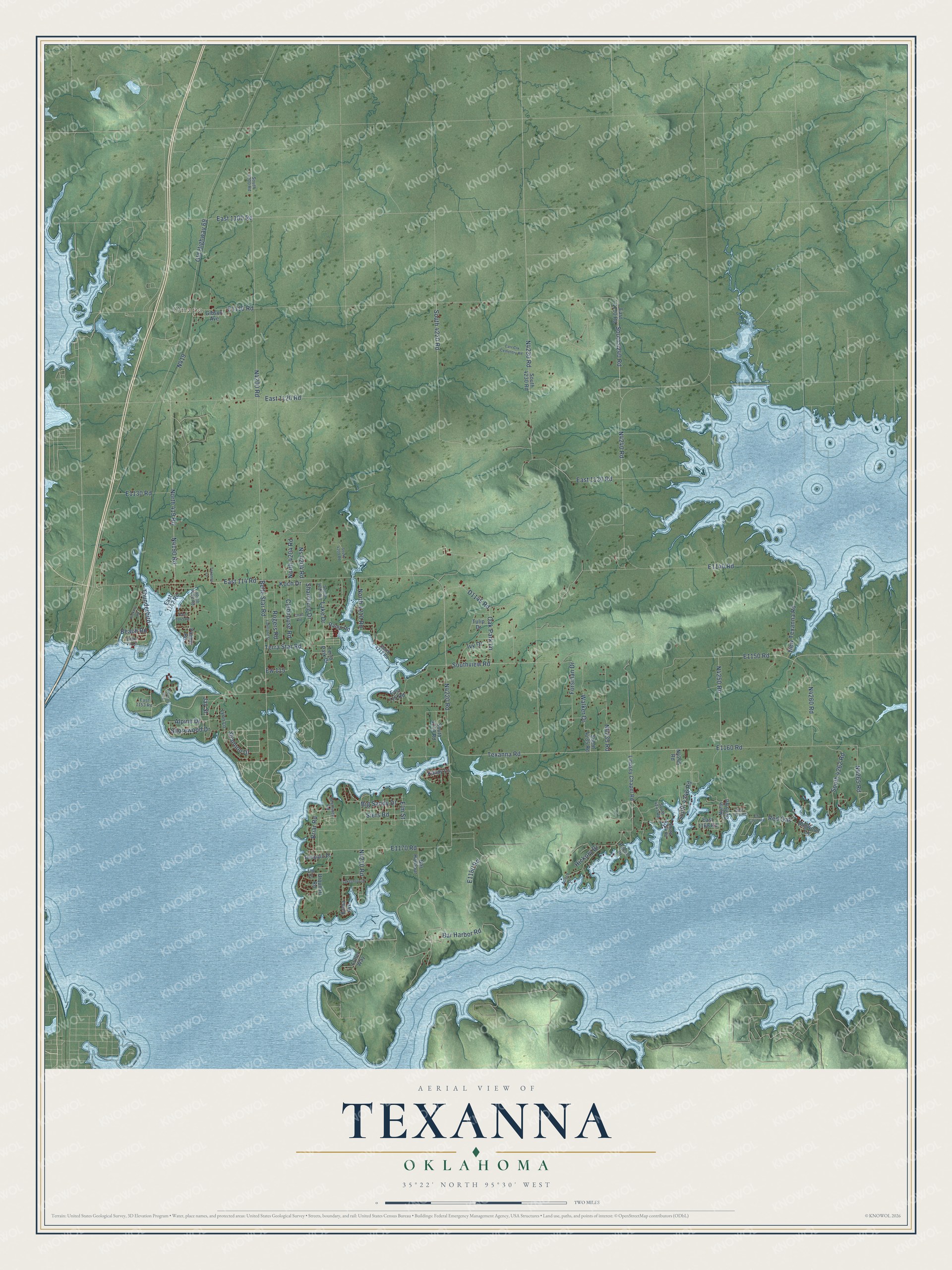
This beautifully detailed map of Texanna, Oklahoma was created in 2026 using aerial imagery combined with modern topographical, census, street and landmark data. It's a modern aerial view of Texanna in McIntosh County, Oklahoma, that combines modern data with a vintage aesthetic. The roads feature printed names, and if you look closely you can find your exact house accurately shown in its correct location.
Explore an aerial view of Texanna, Oklahoma
On this map you'll find Onapa, South 4240 Road, N4240 Road, D1145 Road, Beach Road, Shannon Drive, Alpine Drive, N4190 Road, Shamburg Drive, N4220 Road, South 4246 Road, Red Oak, and more. Each red shape is a building, so zoom in on the preview and look for yours.
Texanna has a story worth telling. Texanna was settled by a band of Cherokees who made their home here after they were driven out of Texas in 1839, and an everlasting spring on the site was one reason they chose this place. The name joins part of the word Texas with other syllables, and one man born in the village recalled that it had some connection with a girl. By 1870 the Cherokee Nation had a public school at Texanna, and the superintendent of Cherokee schools appointed Miss Emma Drew to take charge of it. That's from the Chronicles of Oklahoma.
Texanna is a community in McIntosh County. The Census Bureau counted 2,293 people here in 2020.
Take a closer look at the Texanna map
Names on this map
These names are printed on this map.
Places: Onapa.
Streets and roads: South 4240 Road, Beach Road, Shannon Drive, Alpine Drive, Shamburg Drive, South 4246 Road, Red Oak, Elm Street, Texanna Road, Old Highway 69, East 1120 Road, Belle Star Road.
More street names, A to Z
Acorn Drive, Bar Harbor Road, Bar Harbour, Big Sandy Drive, Briar Road, Carr Crk Cemetery Road, Chad Road, Clubhouse Road, Despain Place, Dogwood Lane, East 114 Road, East 115 Road, East 1100 Road, East 1110 Road, East 1130 Road, East 1142 Road, East 1145 Road, East 1152 Road, East 1153 Road, East 1165 Road, East 1168 Road, Elm Lane, Ew 115, Ew 116.5 Road, Forsman Drive, Fuller Way, Gibson Avenue, Heathway Road, Hickory Drive, Hickory Road, Ivy Drive, Jay Street, Kama Avenue, Kandy Lane, Koch Drive, Lake Drive, Lakeland Street, Lakeshore Drive, Lake Vu Lane, Lindsey Chapel Road, Lynn Lane, New Texanna Road, North 419 Road, North 4204 Road, North 4210 Road, North 5425 Road, Ns 4204 Road, Oak Park Lane, Palmer Road, Pecan Place, Ramp Road, Rogers Road, Shorewood Drive, Siers Road, South 4192 Road, South 4200 Road, South 4207 Road, South 4209 Road, South 4212 Road, South 4219 Road, South 4220 Road, South 4230 Road, South 4235 Road, South 4243 Road, South 4244 Road, South 4262 Road, Southview Road, Terra Park Drive, Terra Star Road, Texanna Lane, Thunderbird, Tulip Drive, Urquhart Road, Walker Drive.
See it on a wall
The Texanna map as a framed print. Swipe for more.


Created by KNOWOL in 2026. The buildings are small red shapes, the roads carry their printed names, and shaded relief shows the shape of the land. The title panel reads "AERIAL VIEW OF TEXANNA, OKLAHOMA" with 35°22' NORTH 95°30' WEST.
It looks right in a kitchen, an office or a den, and it's a gift for anyone who grew up in Texanna or moved away. Open the preview and find your street. See sizes and frames for the Texanna map.