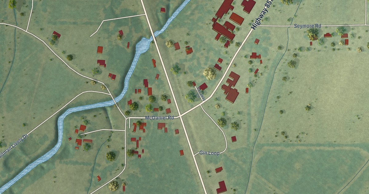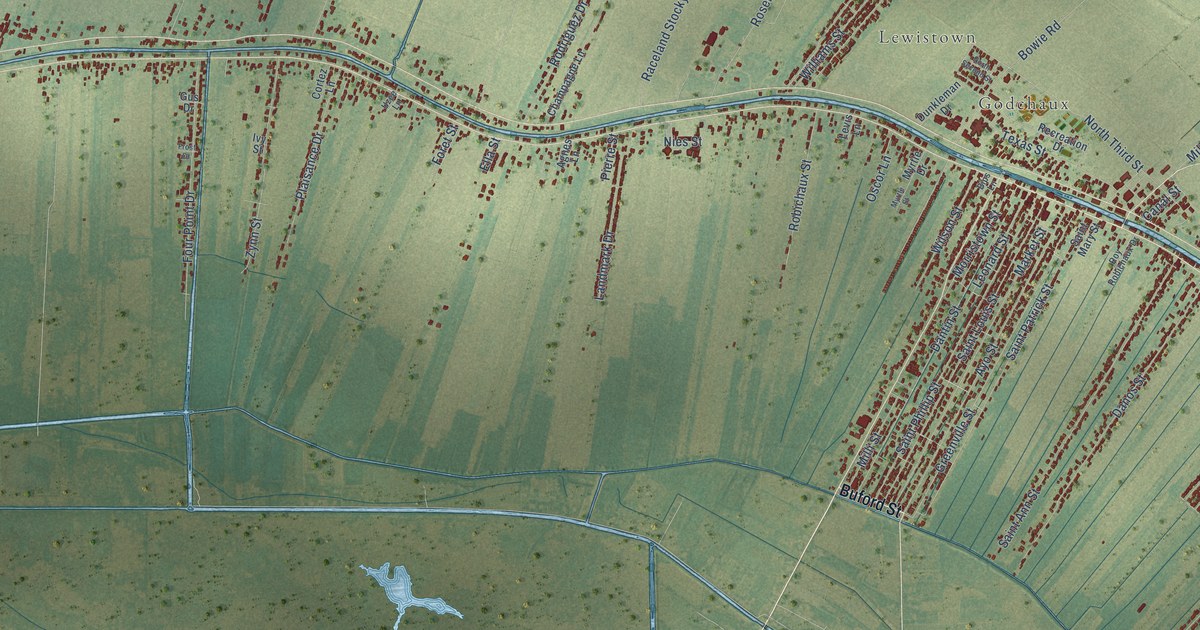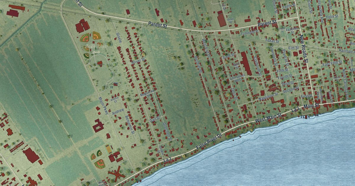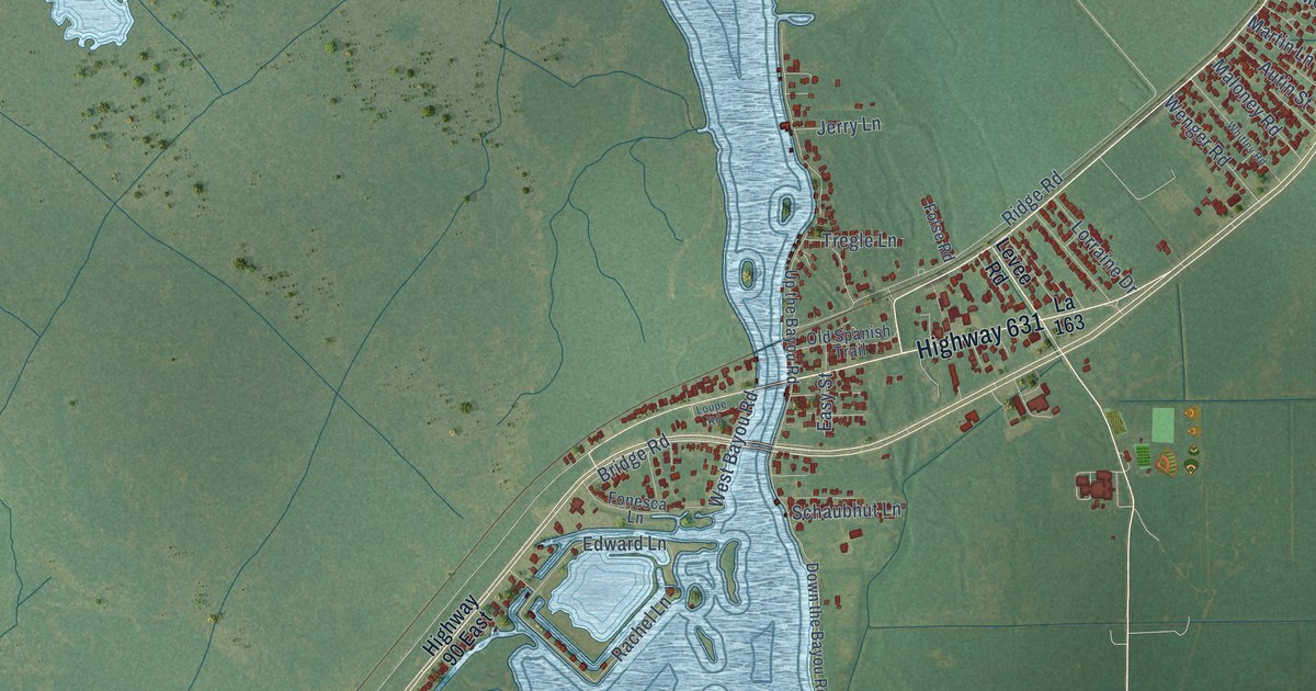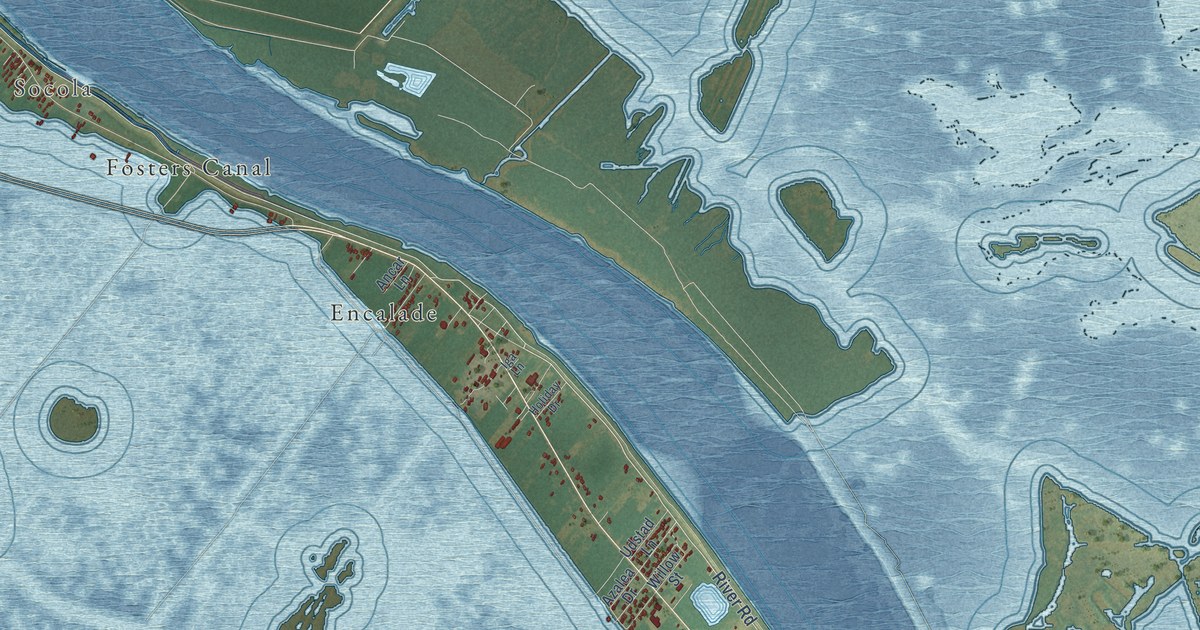
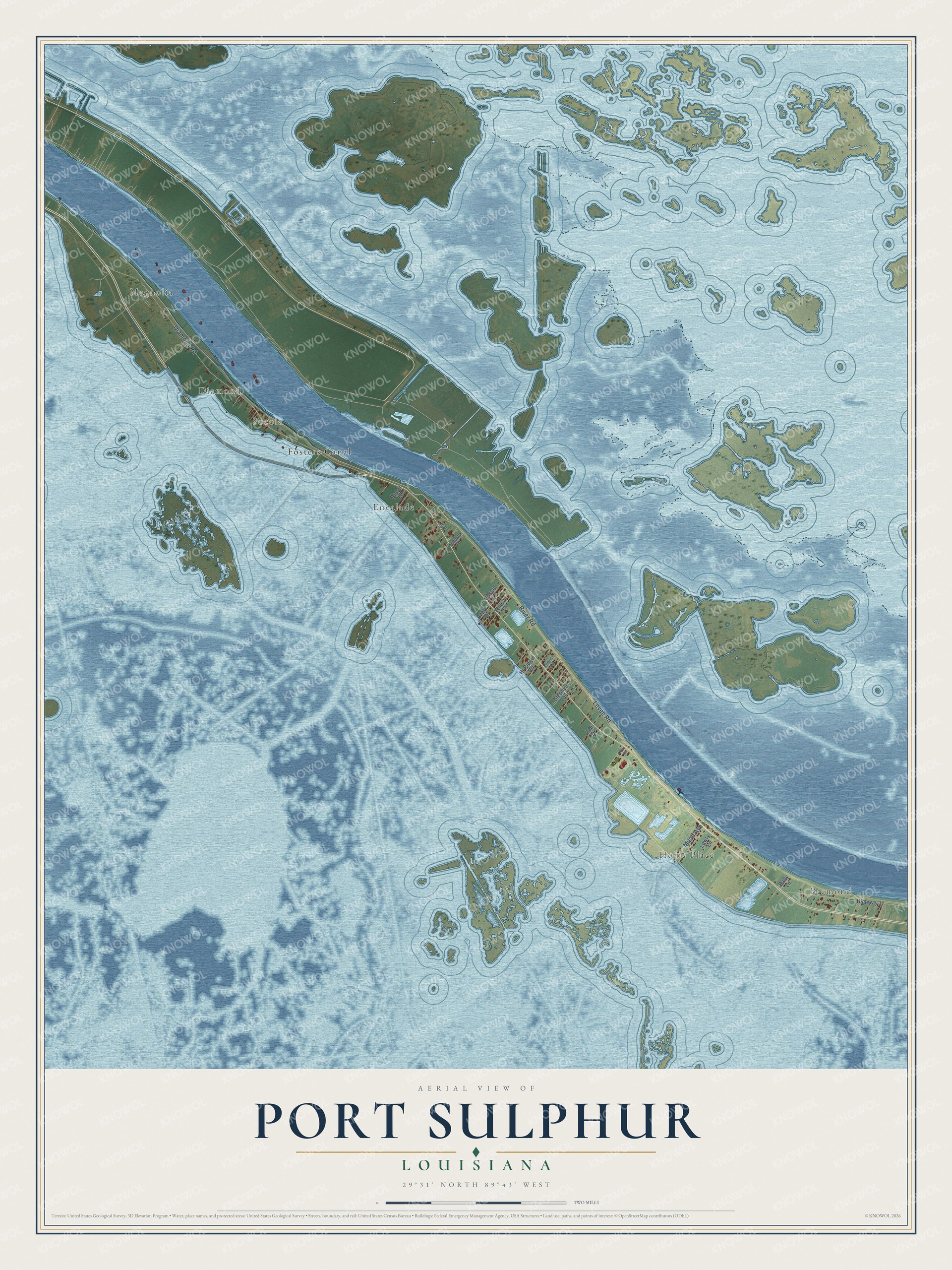
This beautifully detailed map of Port Sulphur, Louisiana was created in 2026 using aerial imagery combined with modern topographical, census, street and landmark data. It's a modern aerial view of Port Sulphur in Plaquemines Parish, Louisiana, that combines modern data with a vintage aesthetic. The roads feature printed names, and if you look closely you can find your exact house accurately shown in its correct location.
Explore an aerial view of Port Sulphur, Louisiana
On this map you'll find Bremond, Magnolia, Home Place, Diamond, Socola, Encalade, Fosters Canal, River Road, Levee Road, Diamond Road, Milan Avenue, Willow Street, and more. Each red shape is a building, so zoom in on the preview and look for yours.
Here is a piece of Port Sulphur history. Port Sulphur was the name the Freeport Sulphur Company finally chose for its town site, first called Grande Ecaille and then Grande Port. The company built houses for its workers on man-made ground, and its Lake Washington mine opened in December 1933 as the second-largest sulphur mine of its kind in the world. The Port Sulphur post office opened in September 1934, with Paul W. Arnolie as postmaster. That's from the Louisiana State University Press.
Port Sulphur is a community in Plaquemines Parish. The Census Bureau counted 1,677 people here in 2020.
Take a closer look at the Port Sulphur map
Names on this map
These names are printed on this map.
Places: Bremond, Magnolia, Home Place, Diamond, Socola, Encalade and Fosters Canal.
Streets and roads: River Road, Levee Road, Diamond Road, Milan Avenue, Willow Street, Azalea Drive, Highway 11, Stephyll Loop, Udstad Lane, Hi Ridge Road, Lowry Lane, Bally Lane.
More street names, A to Z
Ancar Lane, August Lane, Civic Drive, Holiday Drive, Iga Lane, Lee Drive.
See it on a wall
The Port Sulphur map as a framed print. Swipe for more.


Created by KNOWOL in 2026. The buildings are small red shapes, the roads carry their printed names, and shaded relief shows the shape of the land. The title panel reads "AERIAL VIEW OF PORT SULPHUR, LOUISIANA" with 29°31' NORTH 89°43' WEST.
It suits a den, a classroom or a front hall, and it makes a gift for anyone with Port Sulphur roots. Open the preview and find the block you know. See sizes and frames for the Port Sulphur map.