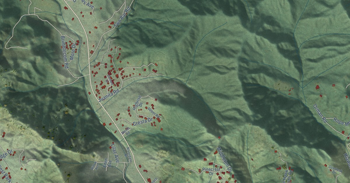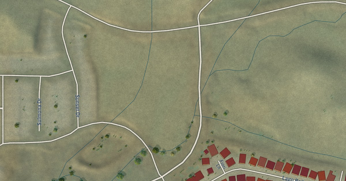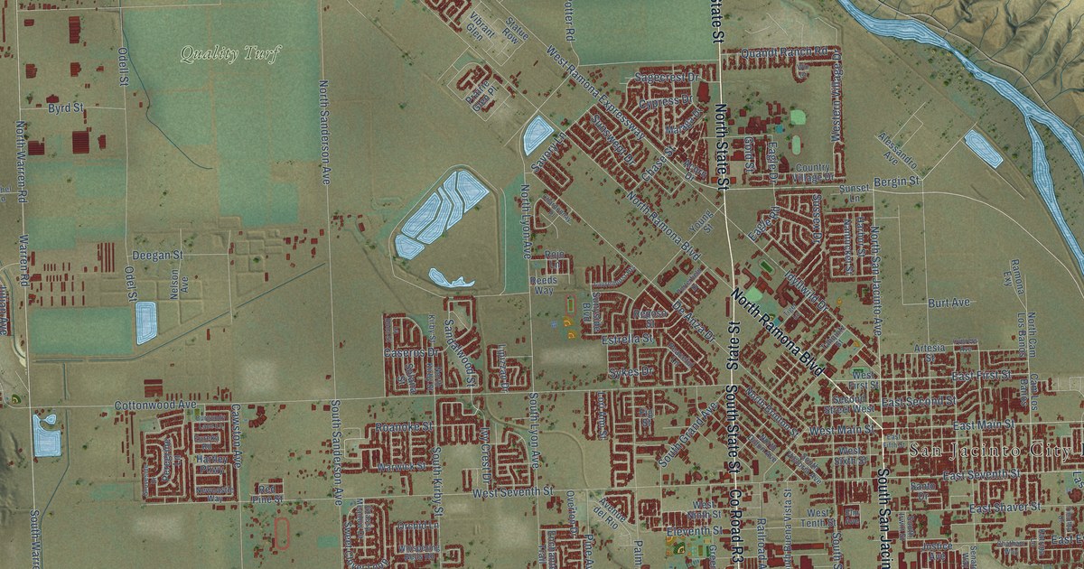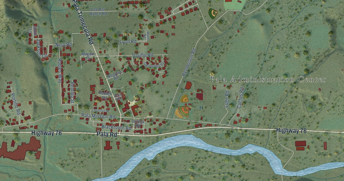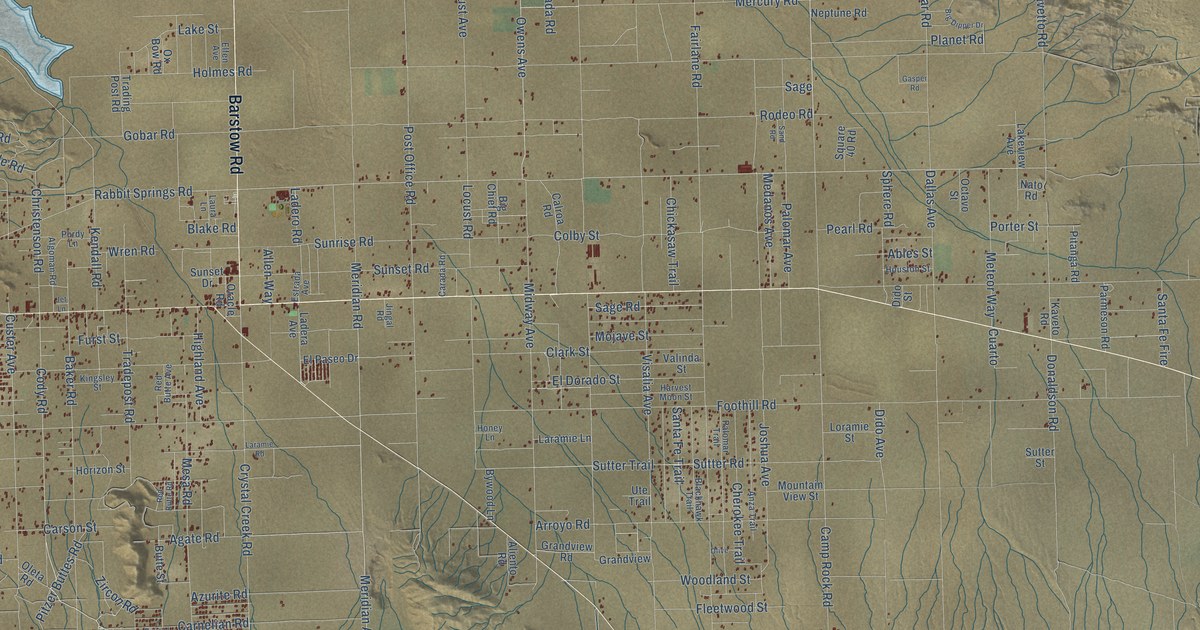
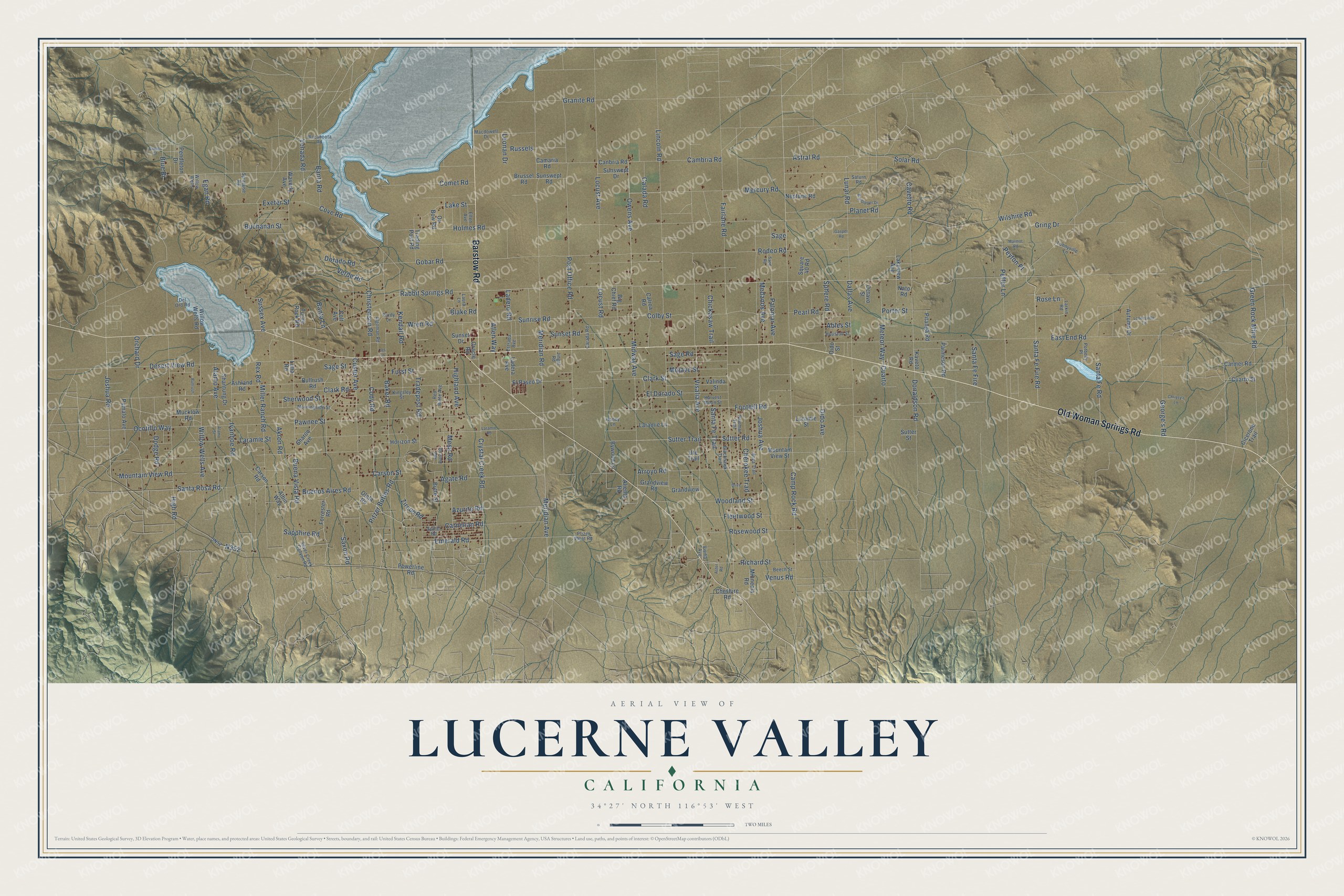
This beautifully detailed map of Lucerne Valley, California was created in 2026 using aerial imagery combined with modern topographical, census, street and landmark data. It's a modern aerial view of Lucerne Valley in San Bernardino County, California, that combines modern data with a vintage aesthetic. The roads feature printed names, and if you look closely you can find your exact house accurately shown in its correct location.
Explore an aerial view of Lucerne Valley, California
On this map you'll find Old Woman Springs Road, Barstow Road, Santa Fe Fire Road, Cody Road, Rose Lane, Meridian Road, Meridian Avenue, Rabbit Springs Road, Clark Road, Richard Street, N352, Joshua Road, and more. Each red shape is a building, so zoom in on the preview and look for yours.
Every town has a first chapter, and Lucerne Valley is no exception. In 1897 James E. Goulding, known as Dad, named his 160-acre homestead ranch Lucerne, the European name for alfalfa, which grew well here. He brought in the valley’s first artesian well and started its first school in 1901. The Lucerne Valley post office opened on September 9, 1912. Before that, mail came by stage to the Koehly home three times a week. That's from the Mojave Desert site Digital-Desert.
Lucerne Valley is a community in San Bernardino County. The Census Bureau counted 5,331 people here in 2020.
Take a closer look at the Lucerne Valley map
Names on this map
These names are printed on this map.
Streets and roads: Old Woman Springs Road, Barstow Road, Santa Fe Fire Road, Cody Road, Rose Lane, Meridian Road, Meridian Avenue, Rabbit Springs Road, Clark Road, Richard Street, Joshua Road, Porter Street.
More street names, A to Z
Ables Street, Agate Road, Akron Road, Alamo Avenue, Alamo Street, Albin Way, Algoman Road, Aliento Road, Allen Way, Anza Trail, Arroyo Road, Ashland Road, Aster Road, Astral Road, Autumn Drive, Azurite Road, Baker Road, Banta Lane, Banta Road, Beech Street, Big Chief Road, Big Dipper Drive, Blackhawk Trail, Blake Road, Blue Bi, Brussel Road, Buchanan Street, Buena Vista Road, Buenos Aires Road, Bullrush, Bullrush Road, Butte Street, Bywood Lane, Calada Road, Calroa Road, Camaria Road, Cambria Road, Camp Rock Road, Canbria Road, Carada Road, Carmer Road, Carnelian Road, Carson Road, Carson Street, Cavetto Road, Center Street, Cherokee Trail, Cheshire Road, Chickasaw Trail, Chrissy's Lane, Christenson Road, Cicerone Trail, Clark Street, Colby Street, Colt Avenue, Comet Road, Cove Road, Crystal Creek Road, Cuarto, Cuarto Street, Custer Avenue, Dallas Avenue, Del Oro Road, Desert View Road, Dido Avenue, Dido Street, Dodge Road, Donaldson Road, Dorado Road, East End Road, Egan Road, El Dorado Street, Elfen Avenue, El Paseo Drive, Emerald Road, Estrada Avenue, Exeter Street, Fairlane Road, Fleetwood Street, Foothill Road, Forrester Road, Furst Street, Gasper Road, George's Road, Gobar Road, Grandview, Grandview Road, Granite Road, Green Rock Mine Road, Gring Drive, Harvest Moon Street, Highland Avenue, High Road, Holmes Road, Honey Lane, Horizon Street, Houston Street, Ivanhoe Road, Jet Lane, Jingal Road, Joshua Avenue, Kaveto Road, Kendall Road, Kingsley Street, Ladera Avenue, Ladero Road, Lake Street, Lakeview Avenue, Laramie Lane, Laramie Road, Laramie Street, Larkin Road, Laura Lane, Leonan Drive, Lima Road, Lincoln Road, Locust Avenue, Locust Road, Looneyville Lane, Loonyville Lane, Loramie Street, Lunar Road, Macdowell Drive, Marmot Road, Medanos Avenue, Mercury Road, Mesa Road, Meteor Way, Midway Avenue, Miller Ranch Road, Minneola Road, Mojave Street, Morningside Street, Mountain View Road, Mountain View Street, Mucklow Road, Nato Road, Neptune Road, Ocotillo Way, Octavo Street, Oleta Road, Olive, Oracle Road, Orchard Drive, Owens Avenue, Ox Bow Road, Palomar Avenue, Palomar Trail, Parmeson Road, Pawnee Street, Pearl Road, Peffer Lane, Pendleton Drive, Peyton Place, Pfizer Plant Road, Pitanga Road, Pitzer Buttes Road, Planet Road, Post Office Road, Potbelly Place, Powerline Road, Pumalo Avenue, Purdy Lane, Red Butte Avenue, Red Butte Road, Rex Road, Rodeo Road, Rosewood Street, Russels, Sage, Sage Road, Sage Street, Sand Road, Santa Fe Fire, Santa Fe Road, Santa Fe Trail, Santa Rosa Road, Sapphire Road, Saturn Road, Saxon Road, Shantung Drive, Sharon Avenue, Sherwood Street, Silver Creek Canyon Road, Solar Road, Sphere Road, Spinel Road, Square 40 Road, Sunrise Road, Sunset Drive, Sunset Road, Sunswept Drive, Sunswept Road, Sussex Avenue, Sutter Road, Sutter Street, Sutter Trail, Syracuse Road, Tradepost Road, Trading Post Road, Turtle Rock Road, Ute Trail, Valinda Street, Venada Road, Venus Road, Verde Road, Visalia Avenue, Visilia Avenue, Wacahoota Road, Waverly Avenue, Willow Wells, Willow Wells Avenue, Willow Wells Road, Wilshire Road, Woodland Street, Wren Road, Zircon Road.
See it on a wall
The Lucerne Valley map as a framed print. Swipe for more.


Created by KNOWOL in 2026. The buildings are small red shapes, the roads carry their printed names, and shaded relief shows the shape of the land. The title panel reads "AERIAL VIEW OF LUCERNE VALLEY, CALIFORNIA" with 34°27' NORTH 116°53' WEST.
Hang it in the hallway, the office or the cabin, or give it to someone who left Lucerne Valley and still calls it home. Open the preview and look for a street you know. See sizes and frames for the Lucerne Valley map.