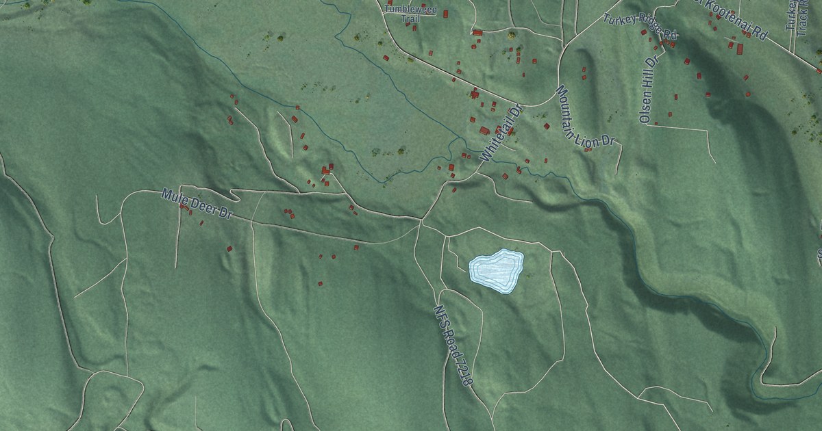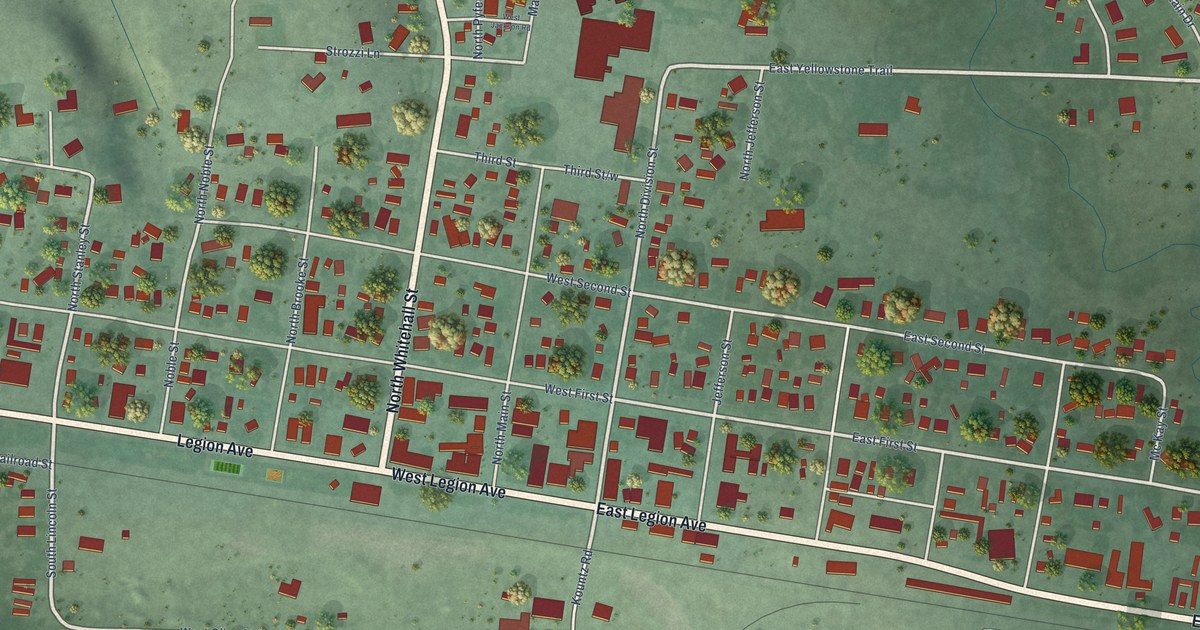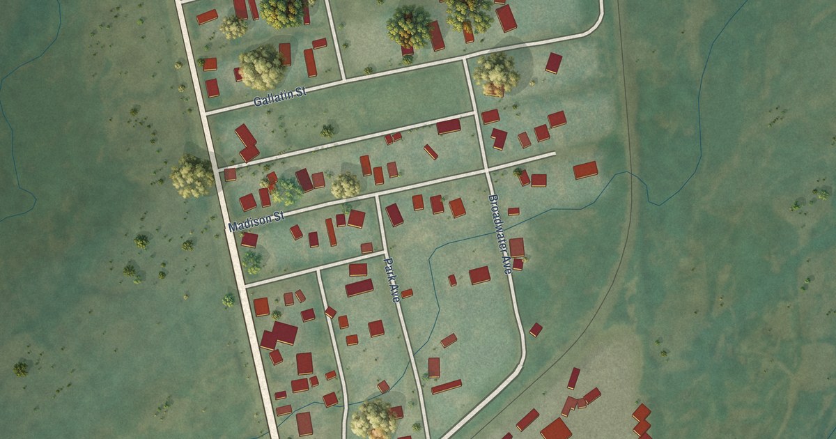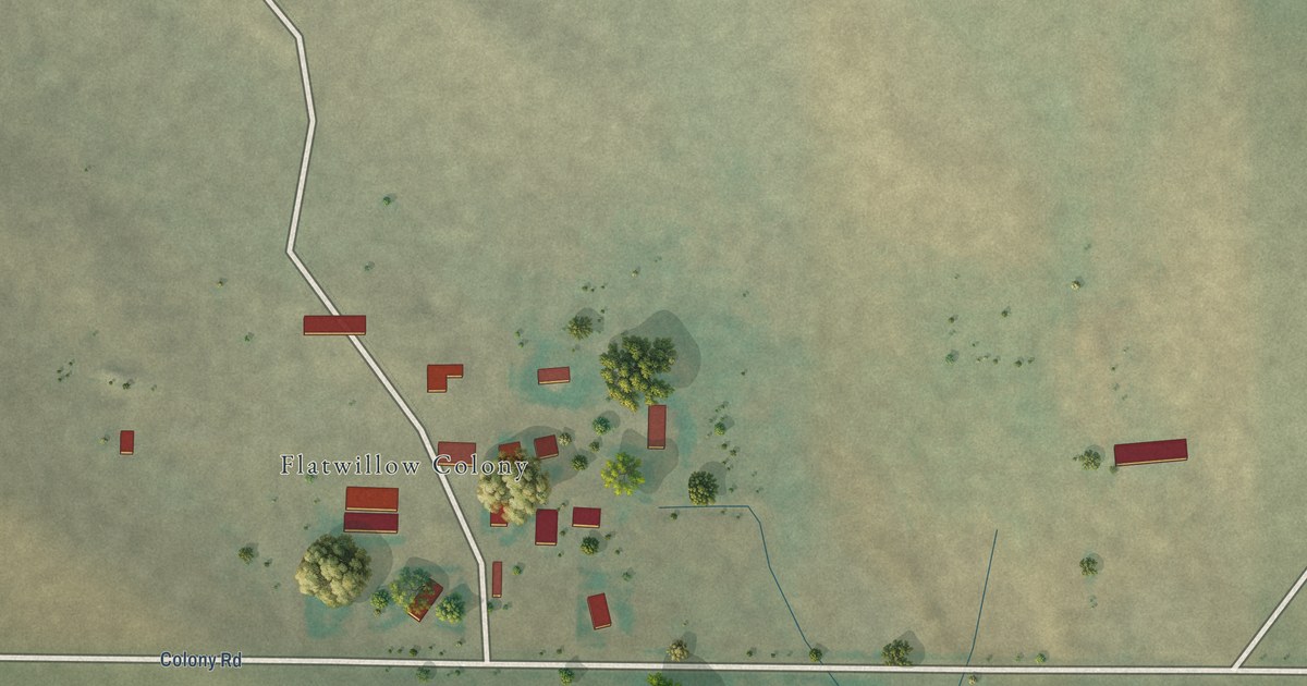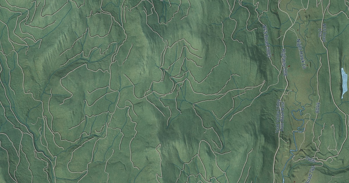
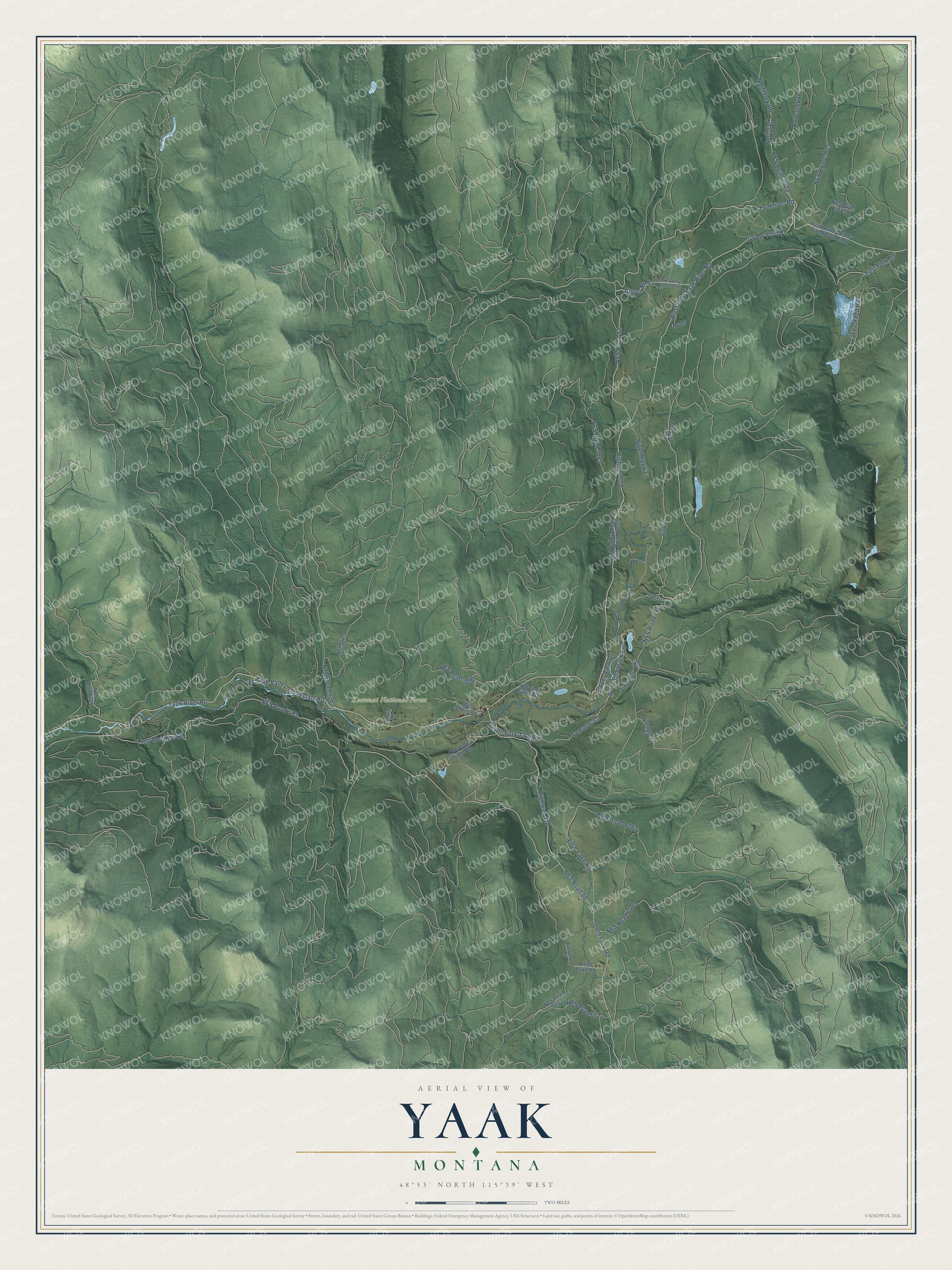
This beautifully detailed map of Yaak, Montana was created in 2026 using aerial imagery combined with modern topographical, census, street and landmark data. It's a modern aerial view of Yaak in Lincoln County, Montana, that combines modern data with a vintage aesthetic. The roads feature printed names, and if you look closely you can find your exact house accurately shown in its correct location.
Explore an aerial view of Yaak, Montana
On this map you'll find Kootenai National Forest, NFS Road 92, Highway 508, West Side Yaak River Road, Upper Ford Road, NFS Road 68, Yaak River Road, Co Highway 508, Yaak Valley-Libby Dam Road, South Fork Road, South Fork Yaak Road, Upper Nf-92, and more. Each red shape is a building, so zoom in on the preview and look for yours.
Yaak has a story worth telling. Yaak takes its name from the Yaak River. Local lore holds that A'ak is a Kootenai name meaning arrow: in that telling, the Kootenai River forms the shape of a drawn bow, and its tributary, the Yaak River, is its arrow. Homesteaders began drifting into the Yaak soon after the Forest Homestead Act of 1906, and the Forest Service examined each 160-acre claim to certify it as farmland, not timberland. That's from the Montana Historical Society.
Yaak is a community in Lincoln County. The Census Bureau counted 338 people here in 2020.
Take a closer look at the Yaak map
Names on this map
These names are printed on this map.
Places: Kootenai National Forest.
Streets and roads: NFS Road 92, Highway 508, West Side Yaak River Road, Upper Ford Road, NFS Road 68, Yaak River Road, County Highway 508, Yaak Valley-Libby Dam Road, South Fork Road, South Fork Yaak Road, Upper Nf-92, River View Drive.
More street names, A to Z
East Fork Road, Evergreen Road, Harding Ranch Road, Lake Okaga Roa, Long Meadow Road, NFS Road 338, NFS Road 435, NFS Road 472, NFS Road 593, NFS Road 746, NFS Road 1746, NFS Road 3825, NFS Road 3829, NFS Road 5856, NFS Road 5883, NFS Road 5886, NFS Road 6061, NFS Road 6063, NFS Road 6133, Night Hawk Lane, Northfork Road, North Fork Yaak Road, Northwood Road, Overdale Lodge Road, Pr Drive, Rat Creek Road, Rene Lake Road, Spoklie Road, Tamarac Lane, Vinal Lake Road, Vin Drive, Vine Hill, West Tamarack Lane, Wild Sheep Drive, Yaakriver Road, Yaak Valley-Libby Dam Road Middl, Yaak Valley-Libby Dam Road West, Yaak Valley Ranch Road.
See it on a wall
The Yaak map as a framed print. Swipe for more.


Created by KNOWOL in 2026. The buildings are small red shapes, the roads carry their printed names, and shaded relief shows the shape of the land. The title panel reads "AERIAL VIEW OF YAAK, MONTANA" with 48°53' NORTH 115°39' WEST.
It looks right in a kitchen, an office or a den, and it's a gift for anyone who grew up in Yaak or moved away. Open the preview and find your street. See sizes and frames for the Yaak map.