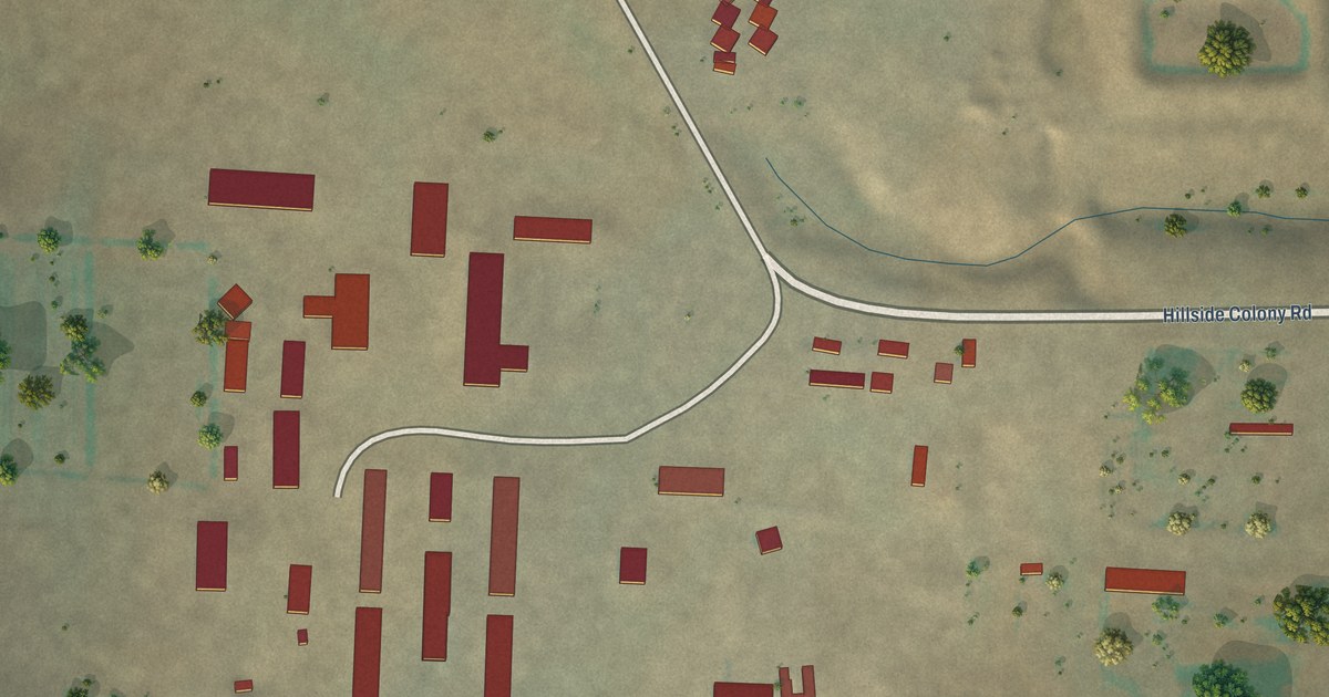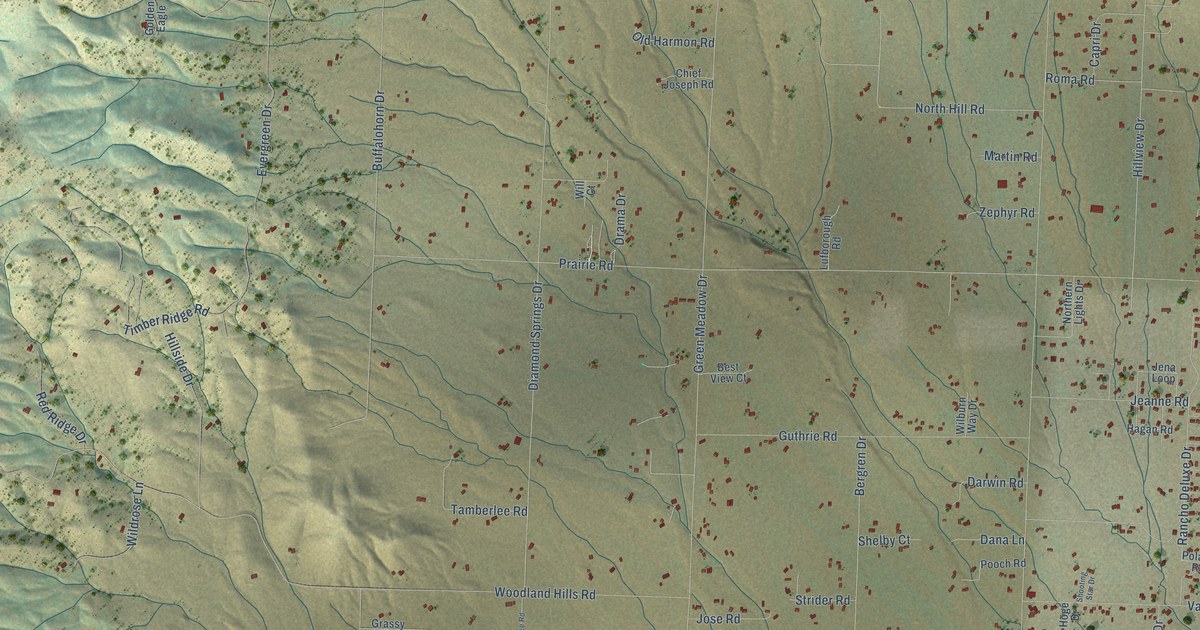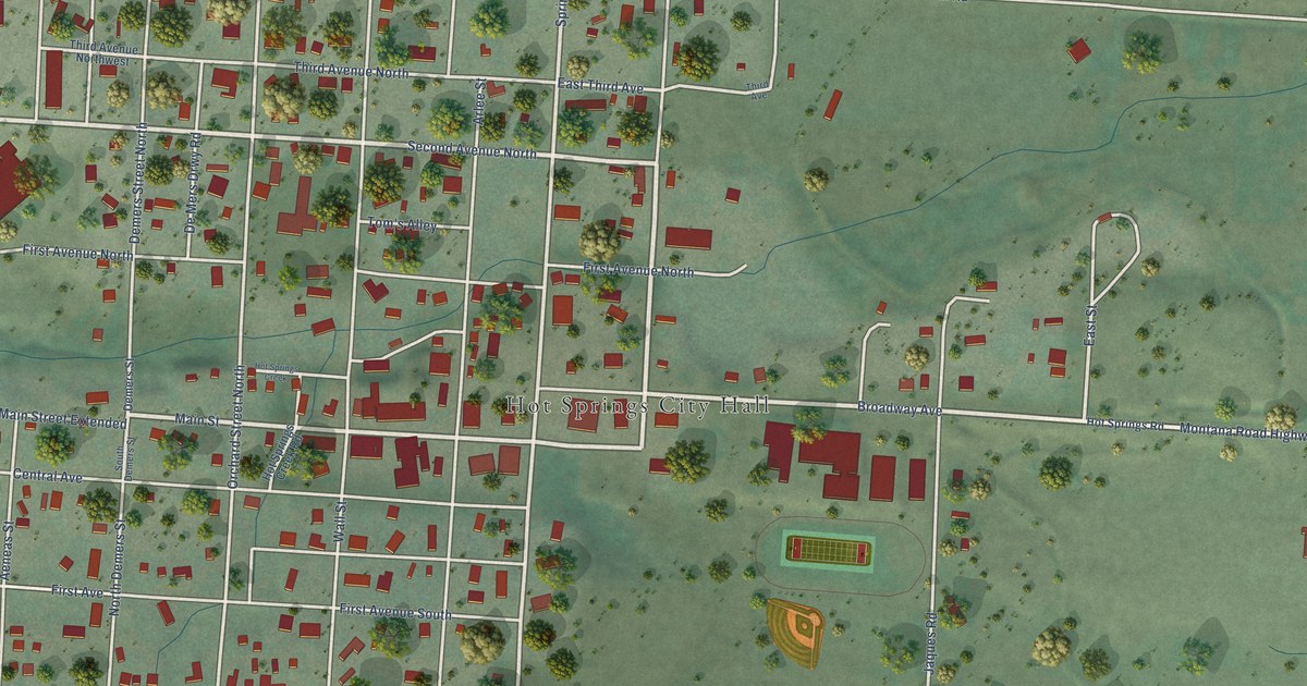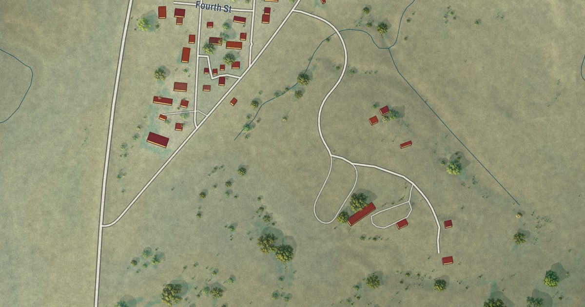
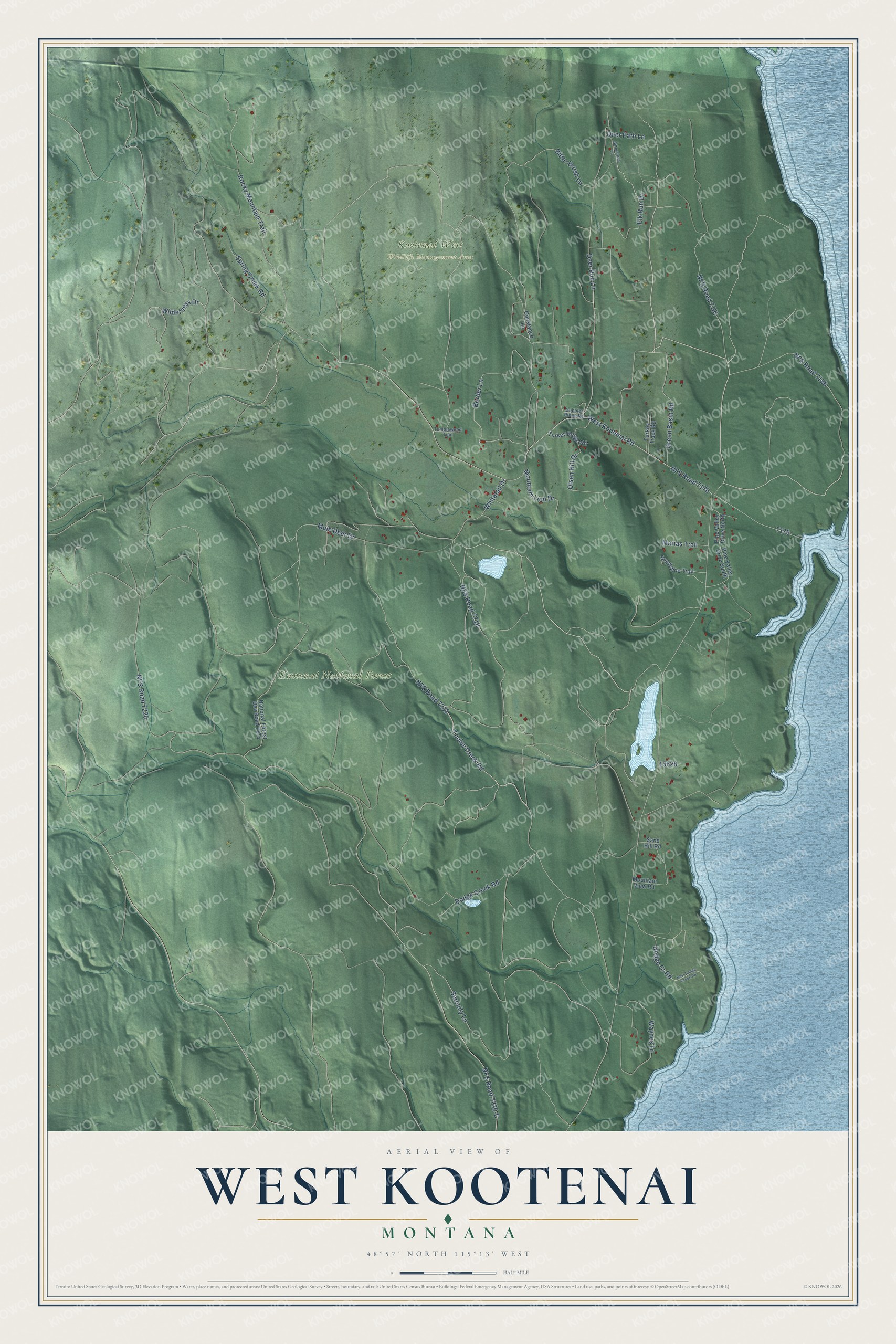
This beautifully detailed map of West Kootenai, Montana was created in 2026 using aerial imagery combined with modern topographical, census, street and landmark data. It's a modern aerial view of West Kootenai in Lincoln County, Montana, that combines modern data with a vintage aesthetic. The roads feature printed names, and if you look closely you can find your exact house accurately shown in its correct location.
Explore an aerial view of West Kootenai, Montana
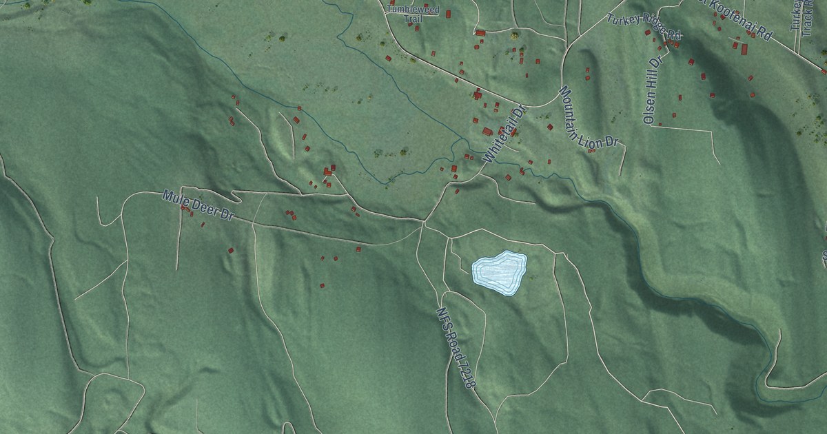
On this map you'll find Kootenai National Forest, Kootenai West Wildlife Management Area, Wilderness Drive, Rocky Mountain Trail, Deer Run Lane, Border Lane, Tooley Creek Road, Serenity Lane, Bitter Brush Lane, Mule Deer Drive, West Kootenai Road, NFS Road 7220, and more. Each red shape is a building, so zoom in on the preview and look for yours.
Every town has a first chapter, and West Kootenai is no exception. The West Kootenai is home to the oldest Amish settlement in Montana, in country once home to the Kootenai people, a stone's throw from the Canadian border. Its school benefit auction, held each year on the second Saturday in June, has drawn visitors from as far away as Washington and California for quilts, local crafts and rustic furniture. The first permanent Amish settlers came to Montana in the 1970s. That's from the Amish America website.
West Kootenai is a community in Lincoln County. The Census Bureau counted 422 people here in 2020.
Take a closer look at the West Kootenai map
Names on this map
These names are printed on this map.
Places: Kootenai National Forest and Kootenai West Wildlife Management Area.
Streets and roads: Wilderness Drive, Rocky Mountain Trail, Deer Run Lane, Border Lane, Tooley Creek Road, Serenity Lane, Bitter Brush Lane, Mule Deer Drive, West Kootenai Road, NFS Road 7220, NFS Road 7176, NFS Road 7218.
More street names, A to Z
Bitterbrush Lane, Constance Lane, Deer Path Lane, Dodge Creek Road, Dodge Cr Road, East Dodge Creek Road, Elk Run Drive, Gobbler Ridge Road, Green Basin Road, Marias Trail, Mountain Lion Drive, Mountain View Road, National Forest Dev Road 7175, NFS Road 7186, NFS Road 7187, NFS Road 7212, NFS Road 7220-C, Olsen Hill Drive, Pine Valley Drive North, Pine Valley Drive South, Sand Hill Road, Snowshoe Trail, Spring Creek Road, Tumbleweed Trail, Turkey Ridge Road, Turkey Track Road, Waynes Lane, Whitetail Drive.
See it on a wall
The West Kootenai map as a framed print. Swipe for more.


Created by KNOWOL in 2026. The buildings are small red shapes, the roads carry their printed names, and shaded relief shows the shape of the land. The title panel reads "AERIAL VIEW OF WEST KOOTENAI, MONTANA" with 48°57' NORTH 115°13' WEST.
Hang it in the hallway, the office or the cabin, or give it to someone who left West Kootenai and still calls it home. Open the preview and look for a street you know. See sizes and frames for the West Kootenai map.