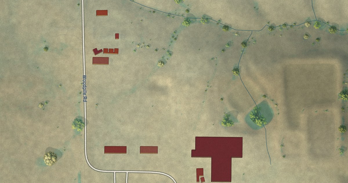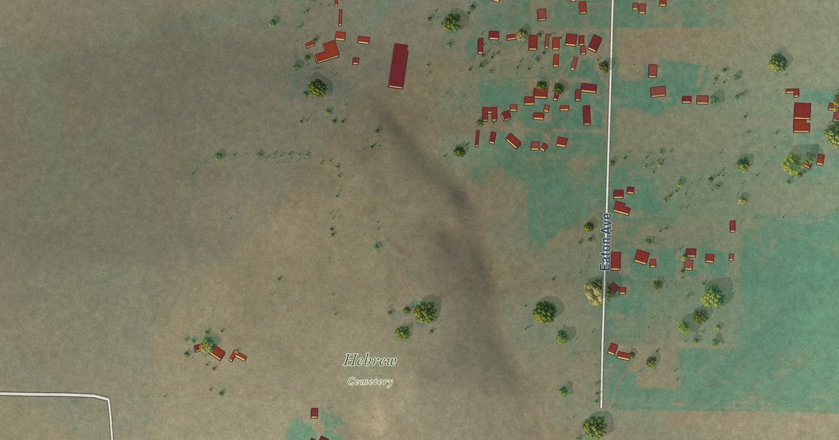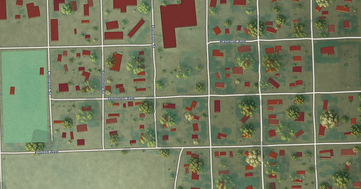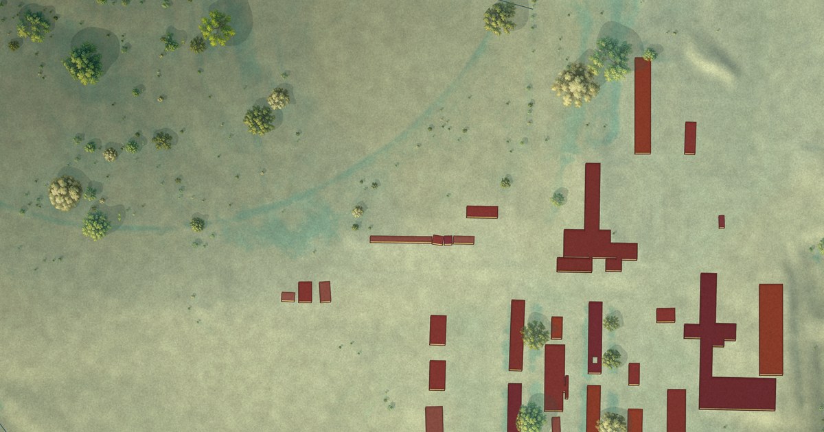
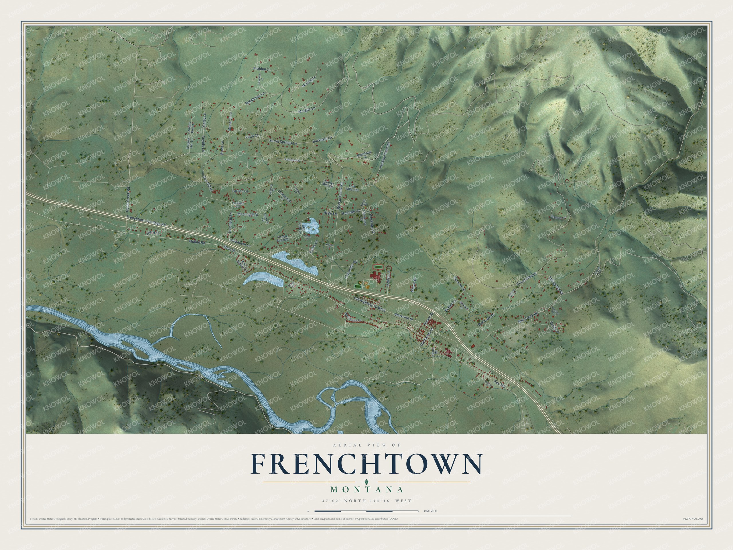
This beautifully detailed map of Frenchtown, Montana was created in 2026 using aerial imagery combined with modern topographical, census, street and landmark data. It's a modern aerial view of Frenchtown in Missoula County, Montana, that combines modern data with a vintage aesthetic. The roads feature printed names, and if you look closely you can find your exact house accurately shown in its correct location.
Explore an aerial view of Frenchtown, Montana
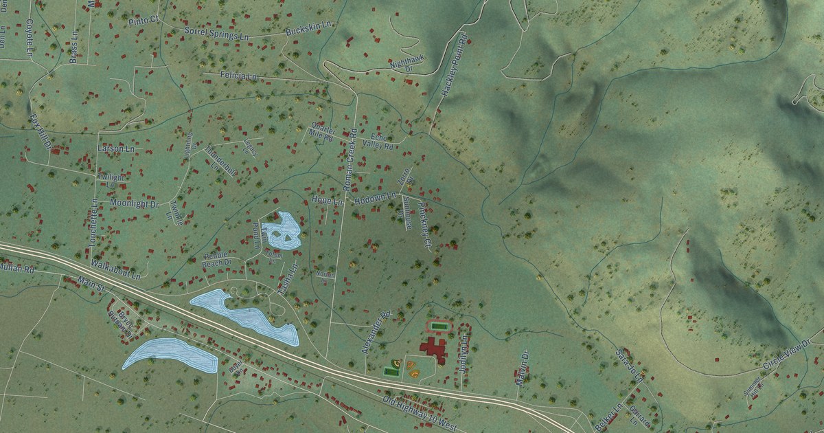
On this map you'll find Mullan Road, Frenchtown Frontage Road, Main Street, Roman Creek Road, Mill Creek Road, Spring Hill Road, Old Highway 10 West, Beckwith Street, Sorrel Springs Lane, Circle View Drive, Morgan Lane, Touchette Lane, and more. Each red shape is a building, so zoom in on the preview and look for yours.
Here is a piece of Frenchtown history. The Salish called the valley where Frenchtown sits Qua elth, meaning state of tranquility. French Canadians from Quebec and Ontario, beginning with the Louis Brun family, settled there in the late 1850s and 1860s, and in 1884 St. John the Baptist Church, with its gleaming steeple, replaced their earlier log church. That's from the Montana Historical Society.
Frenchtown is a community in Missoula County. The Census Bureau counted 1,958 people here in 2020.
Take a closer look at the Frenchtown map
Names on this map
These names are printed on this map.
Streets and roads: Mullan Road, Frenchtown Frontage Road, Main Street, Roman Creek Road, Mill Creek Road, Spring Hill Road, Old Highway 10 West, Beckwith Street, Sorrel Springs Lane, Circle View Drive, Morgan Lane, Touchette Lane.
More street names, A to Z
Alexander Road, Allard Court, Appaloosa Lane, Arabian Lane, Belker Lane, Bidlake Court, Boyer Lane, Brass Lane, Bryce Putnam Drive, Buckskin Lane, Bud Lake Drive, Carey Lane, Cougars Den Lane, Cougers Den Lane, Coyote Lane, Demer Street, Ducharme Street, Echo Valley Road, Fas 263, Felicia Lane, Fox Hill Drive, FS Road 5426, Garrard Lane, Hackley Point Road, Hamel Road, Hodown Lane, Hope Lane, Houle Creek Road, Jodilyn Lane, Larson Lane, Legacy Lane, Lightning Drive, Malvin Drive, Monarch Lane, Moonlight Drive, Mustang Lane, Nighthawk Drive, Norton Lane, Palomino Lane, Pebble Beach Drive, Pinckney Court, Pinto Court, Quarter Mile Road, Sara Jo Lane, Savik Lane, Summer Hill Lane, Sunhouse Drive, Tasha Lane, Thunderbolt Lane, Totem Lane, Twilight Lane, Twinkle Lane, Twin Pond Lane, Unnamed Steet, Walkabout Lane, Wildflower Drive, Wild Goose Lane, Zorro Drive.
See it on a wall
The Frenchtown map as a framed print. Swipe for more.


Created by KNOWOL in 2026. The buildings are small red shapes, the roads carry their printed names, and shaded relief shows the shape of the land. The title panel reads "AERIAL VIEW OF FRENCHTOWN, MONTANA" with 47°02' NORTH 114°16' WEST.
It suits a den, a classroom or a front hall, and it makes a gift for anyone with Frenchtown roots. Open the preview and find the block you know. See sizes and frames for the Frenchtown map.