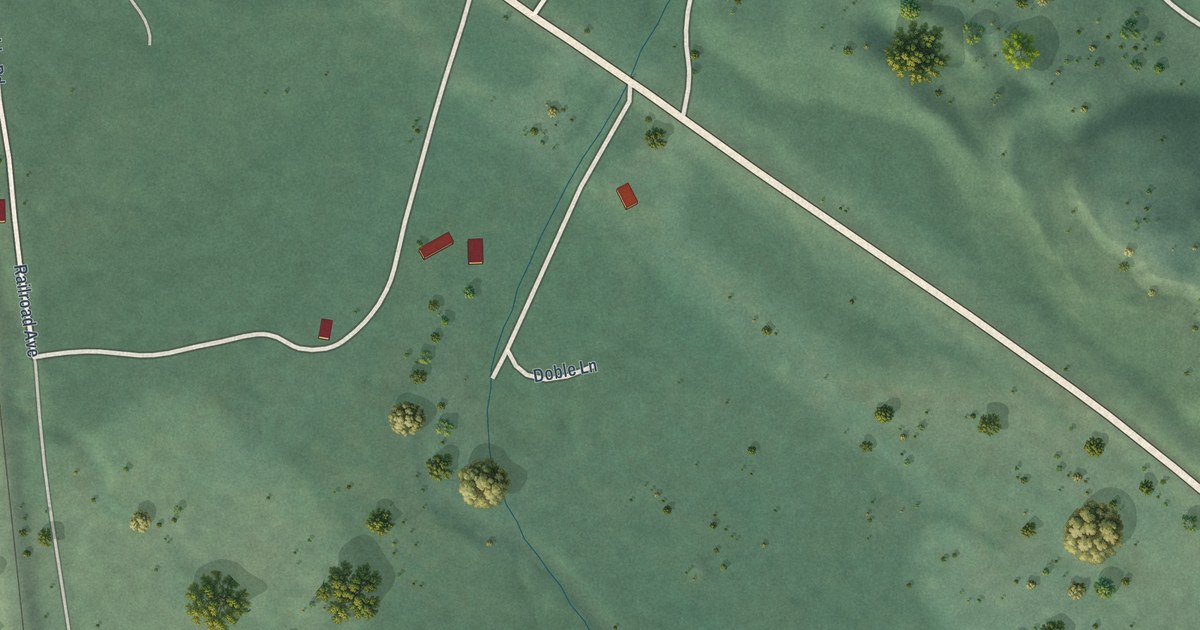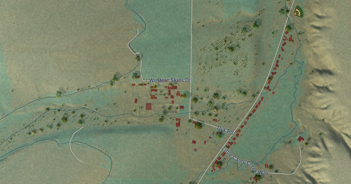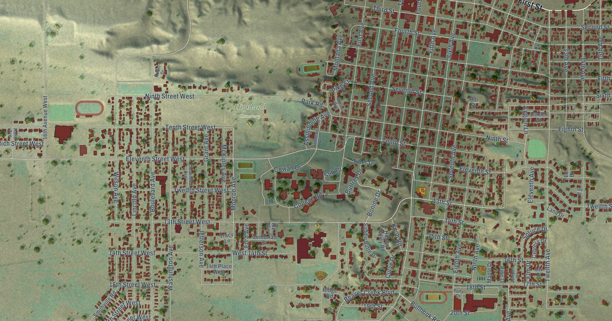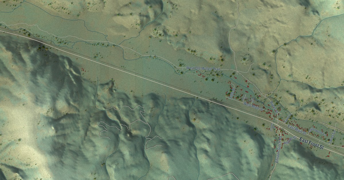
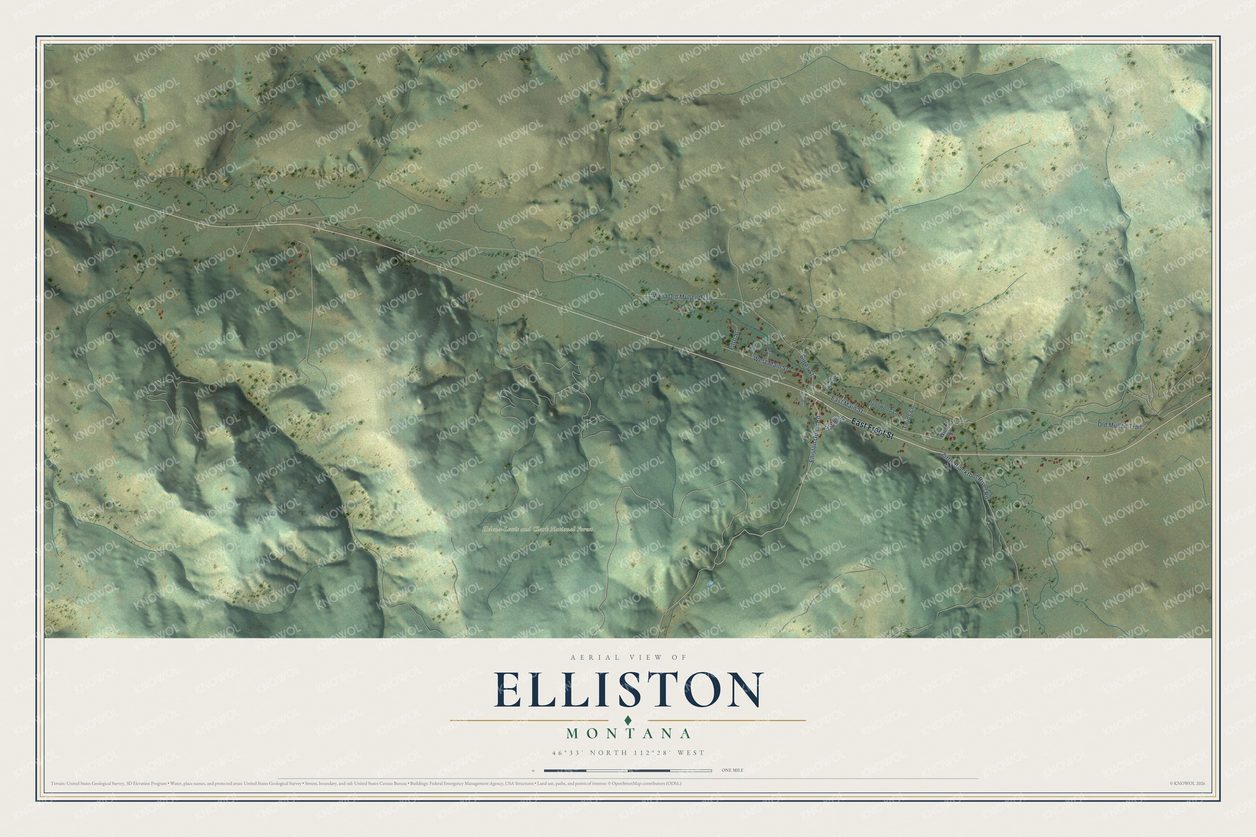
This beautifully detailed map of Elliston, Montana was created in 2026 using aerial imagery combined with modern topographical, census, street and landmark data. It's a modern aerial view of Elliston in Powell County, Montana, that combines modern data with a vintage aesthetic. The roads feature printed names, and if you look closely you can find your exact house accurately shown in its correct location.
Explore an aerial view of Elliston, Montana
On this map you'll find Helena-Lewis and Clark National Forest, East Front Street, Elliston Gulch Road, East Main Street, West Old Mullen Trail, West Main Street, Old Mullan Trail, Little Blackfoot River Road, Burns Street, Platner Street, Fifth Street, Twins Lane, and more. Each red shape is a building, so zoom in on the preview and look for yours.
Every town has a first chapter, and Elliston is no exception. Elliston most likely honors Northern Pacific Railroad director John W. Ellis. A more romantic story says the town was first called Alicetown, for the daughter of early settler Hubert Coty, who ran the MacDonald Pass tollgate until 1882. By 1903 the Elliston Lime Company, started the year before, was turning out 900 bushels of lime a day, and its kiln worked until 1965. That's from the Montana Historical Society.
Elliston is a community in Powell County. The Census Bureau counted 227 people here in 2020.
Take a closer look at the Elliston map
Names on this map
These names are printed on this map.
Places: Helena-Lewis and Clark National Forest.
Streets and roads: East Front Street, Elliston Gulch Road, East Main Street, West Old Mullen Trail, West Main Street, Old Mullan Trail, Little Blackfoot River Road, Burns Street, Platner Street, Fifth Street, Twins Lane, Willow Road.
More street names, A to Z
Cottonwood Lane, Cranson Street, Fourth Street, Sara Lane, Third Street.
See it on a wall
The Elliston map as a framed print. Swipe for more.


Created by KNOWOL in 2026. The buildings are small red shapes, the roads carry their printed names, and shaded relief shows the shape of the land. The title panel reads "AERIAL VIEW OF ELLISTON, MONTANA" with 46°33' NORTH 112°28' WEST.
Hang it in the hallway, the office or the cabin, or give it to someone who left Elliston and still calls it home. Open the preview and look for a street you know. See sizes and frames for the Elliston map.