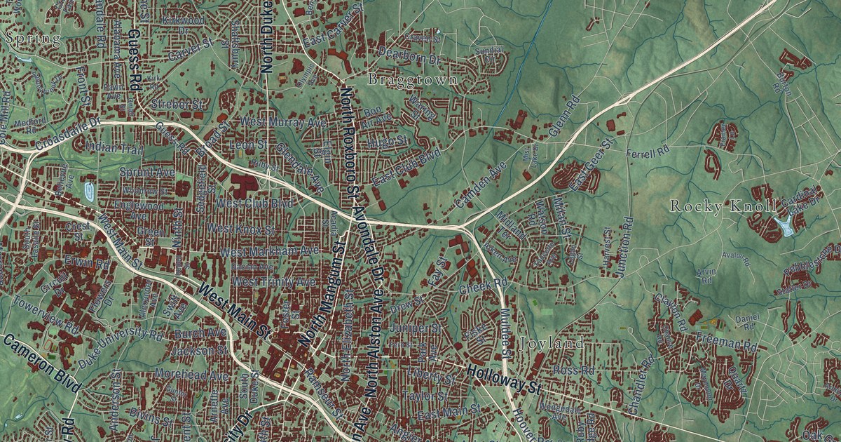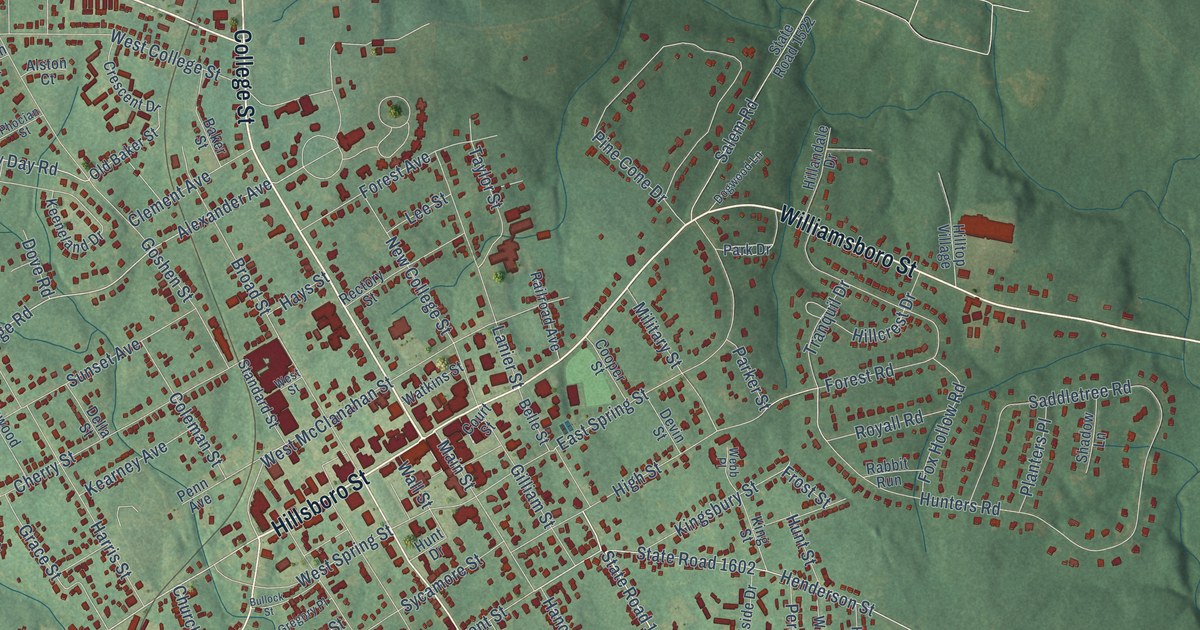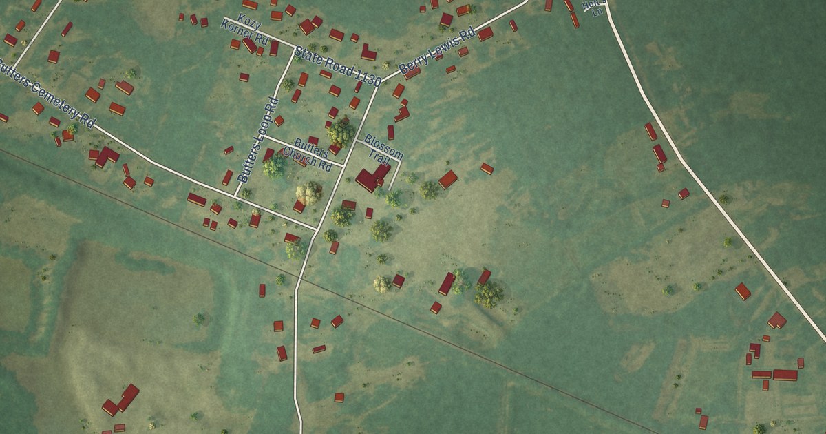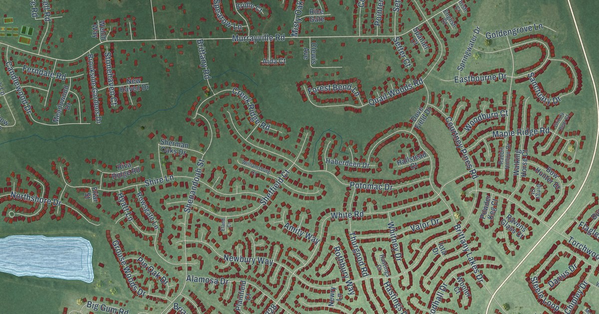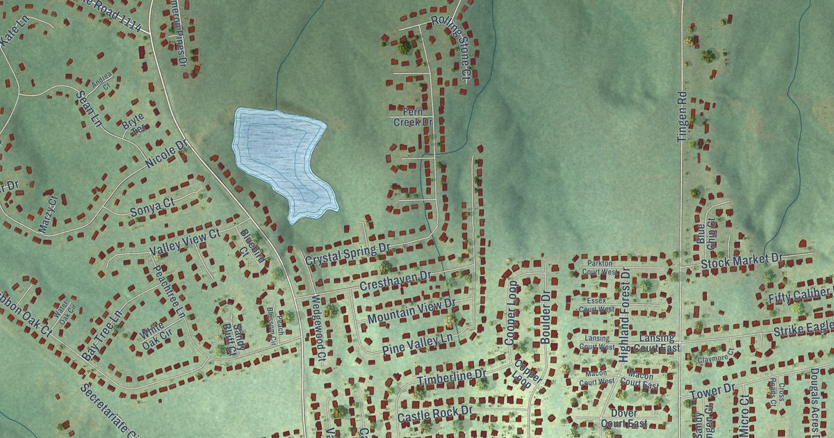
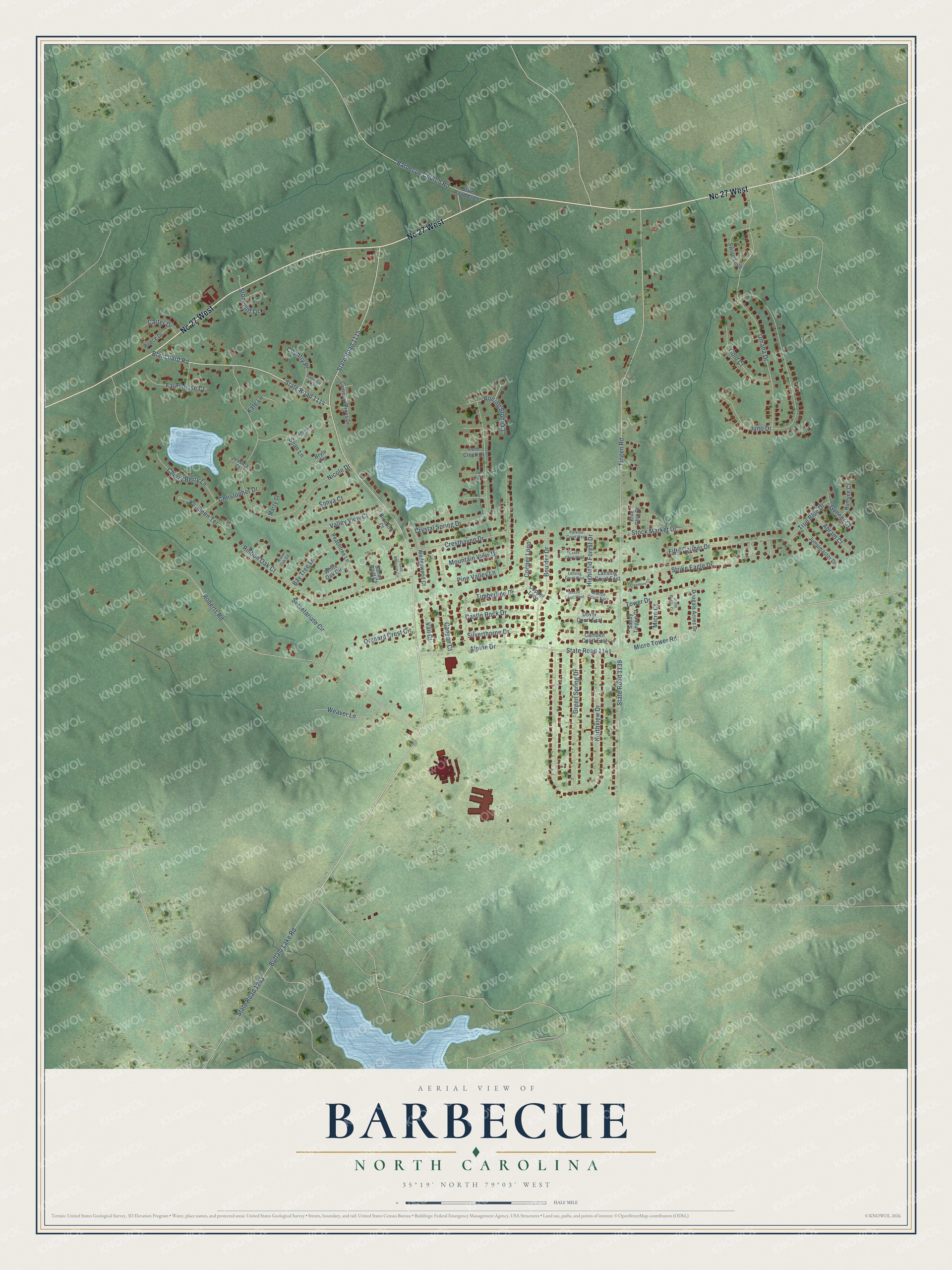
This beautifully detailed map of Barbecue, North Carolina was created in 2026 using aerial imagery combined with modern topographical, census, street and landmark data. It's a modern aerial view of Barbecue in Harnett County, North Carolina, that combines modern data with a vintage aesthetic. The roads feature printed names, and if you look closely you can find your exact house accurately shown in its correct location.
Explore an aerial view of Barbecue, North Carolina
On this map you'll find Nc 27 West, State Road 1114, Blanchard Road, State Road 1115, Buffalo Lake Road, State Road 1139, Tingen Road, Roberts Road, Northview Drive, State Road 1141, Nicole Drive, Omaha Drive, and more. Each red shape is a building, so zoom in on the preview and look for yours.
Every town has a first chapter, and Barbecue is no exception. Barbecue took its name from Barbecue Creek, a name already written in local deeds by 1753. Barbecue Church was founded in 1757 by Presbyterian Scottish Highlanders who had settled there, and on the eve of the Revolutionary War the Scottish heroine Flora McDonald and her husband were both members. By tradition, a stranger caught in a winter storm died outside the locked church door, and the congregation vowed never to lock its doors again. That's from the NC Highway Historical Marker Program.
Barbecue is a community in Harnett County.
Take a closer look at the Barbecue map
Names on this map
These names are printed on this map.
Streets and roads: Nc 27 West, State Road 1114, Blanchard Road, State Road 1115, Buffalo Lake Road, State Road 1139, Tingen Road, Roberts Road, Northview Drive, State Road 1141, Nicole Drive, Omaha Drive.
More street names, A to Z
Abram Court, Alpine Drive, Andrea Court, Barbecue Church Road, Bay Tree Lane, Bluebird Court, Blue Chip Court, Boulder Drive, Bryte Terrace, Camden Court East, Cameron Pines Drive, Canyon Court, Carter Drive, Castle Rock Drive, Cherry Berry Lane, Christopher Drive, Claymore Court, Cooper Loop, Copper Loop, Country Place, Cresthaven Drive, Cross Roads Court, Crystal Spring Drive, Dougals Acres Drive, Dover Court East, Essex Court West, Farmhouse Court, Fern Creek Drive, Fifty Caliber Drive, Gabrielle Terrace, Gold Court, Green Spring Drive, Gunner Court, Highland Forest Drive, Humvee Court, Jessica Court, Jumpmaster Drive, Juno Drive, Kate Lane, Kathleen Terrace, Lansing Court East, Lansing Court West, Macon Court East, Macon Court West, Marzy Court, Micro Court, Micro Tower Road, Mountain View Drive, Orchard Crest Circle, Parkton Court West, Peach Blossom Circle, Peachtree Lane, Pine Valley Lane, Reece Drive, Ribbon Oak Court, Rolling Stone Court, Sandy Bluff Court, Sandy Tingen Court, Sean Lane, Secretariate Circle, Silverthorne Drive, Sonya Court, State Road 1209, State Road 1293, Stock Market Drive, Stonecliff Lane, Strike Eagle Drive, Sword Loop, Timberline Drive, Tower Drive, True Blue Drive, Vail Court, Valley View Court, Water Oak Circle, Weaver Lane, Wedgewood Court, White Oak Circle.
See it on a wall
The Barbecue map as a framed print. Swipe for more.


Created by KNOWOL in 2026. The buildings are small red shapes, the roads carry their printed names, and shaded relief shows the shape of the land. The title panel reads "AERIAL VIEW OF BARBECUE, NORTH CAROLINA" with 35°19' NORTH 79°03' WEST.
Hang it in the hallway, the office or the cabin, or give it to someone who left Barbecue and still calls it home. Open the preview and look for a street you know. See sizes and frames for the Barbecue map.