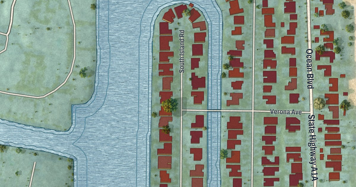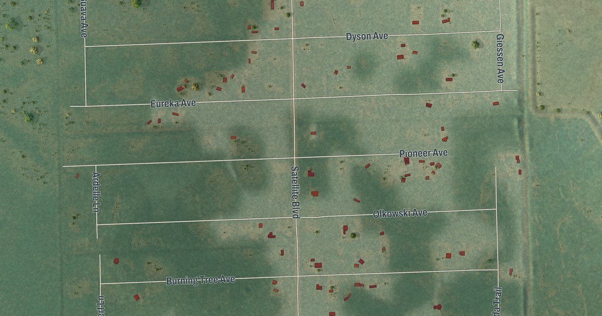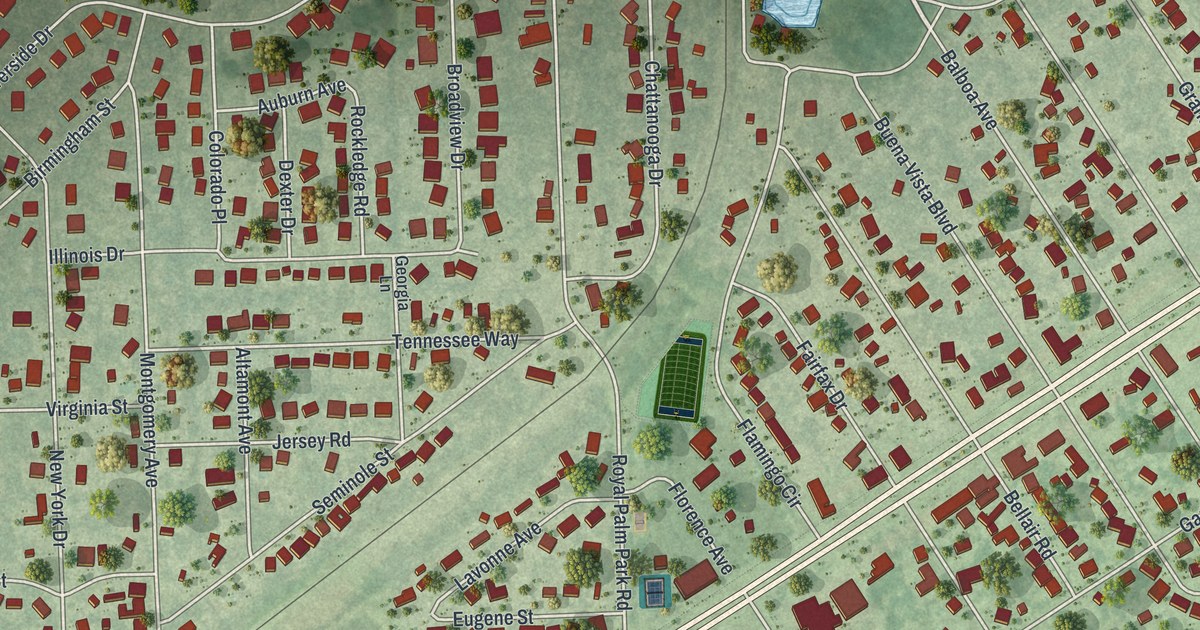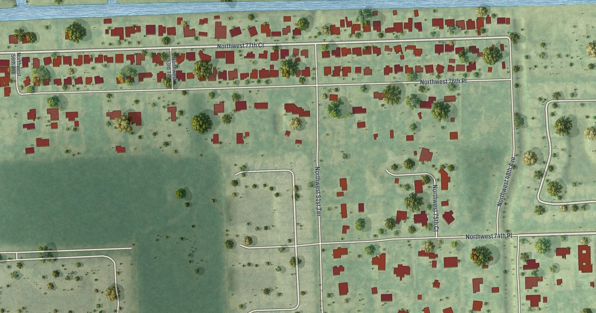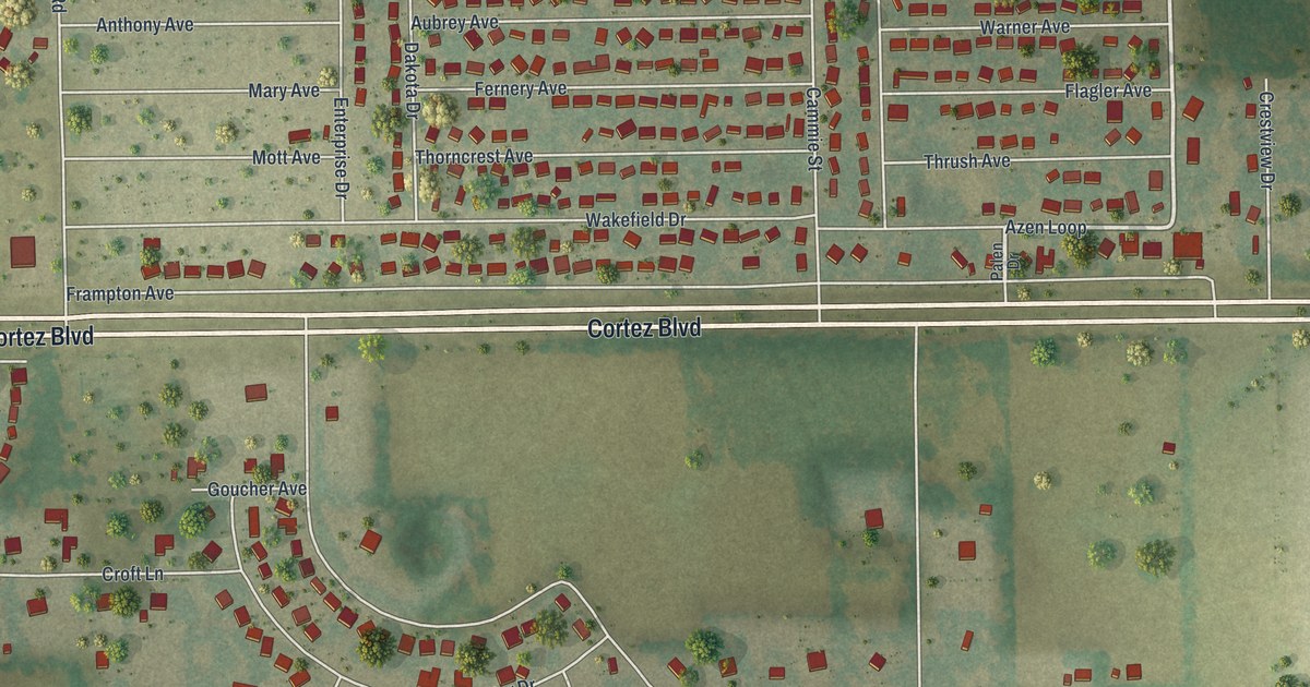
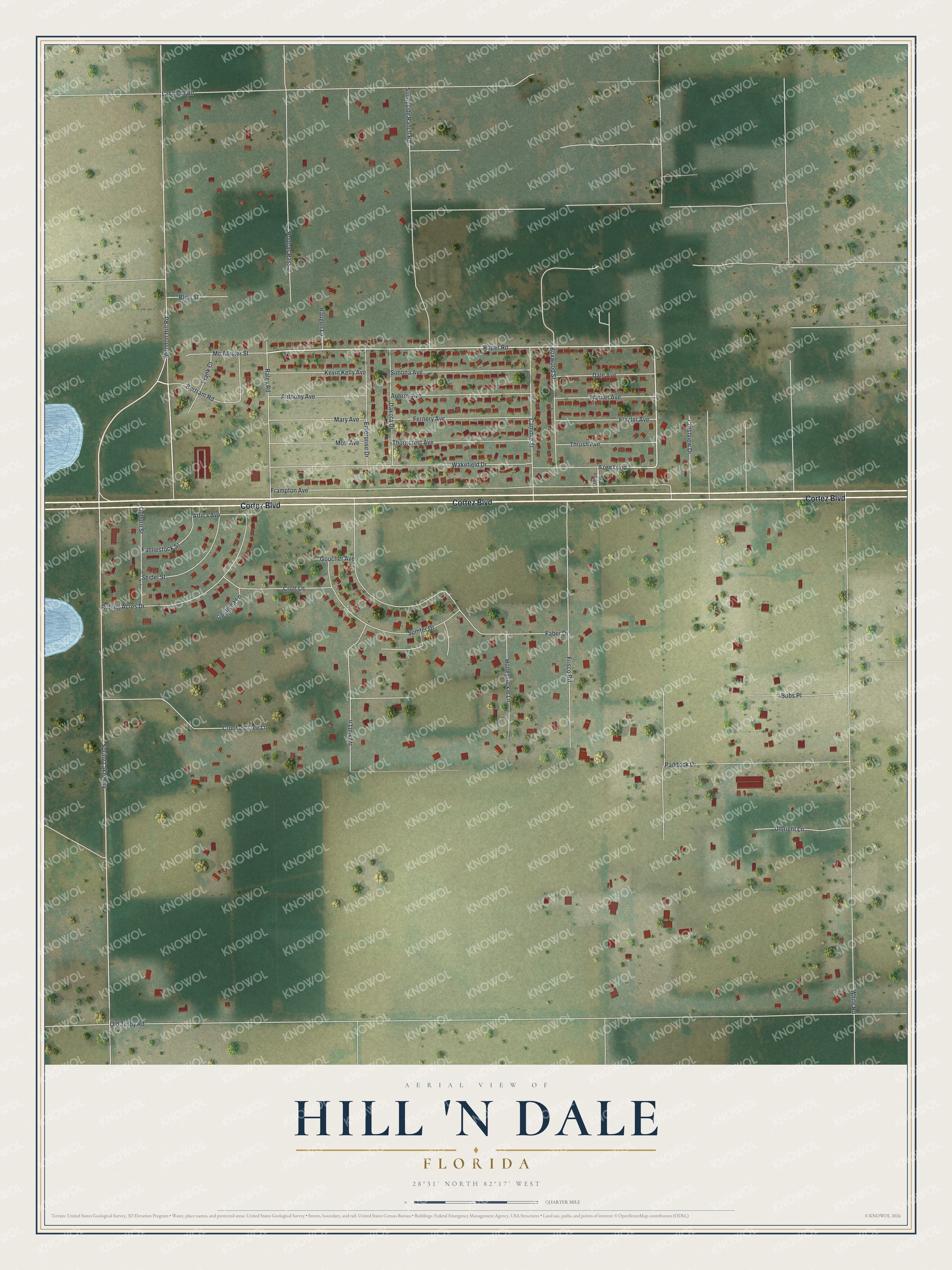
This beautifully detailed map of Hill 'n Dale, Florida was created in 2026 using aerial imagery combined with modern topographical, census, street and landmark data. It’s a one-of-a-kind view of Hill ‘n Dale that combines accurate data with a vintage aesthetic. The map shows every building in its true location, many of the roads carry their names, and the shaded topographic relief shows the shape of the land.
Explore an aerial view of Hill 'n Dale, Florida
On the map you’ll find Cortez Boulevard, Roper Road, Azen Loop, Mondon Hill Road, Old Trilby Road, White Road, Spring Lake Highway, Frampton Avenue, Paddock Drive, Wakefield Drive, Faber Drive, Sunnyside Ranch Road, and more. Hill 'n Dale sits about 5 miles southeast of North Brooksville, 6 miles west of Ridge Manor and 7 miles east of Brooksville. If you look closely you can even find your house accurately drawn in its correct location. Zoom in on the preview to look for yours.
Take a closer look at the Hill 'n Dale map
Names on this map
These names are printed on this map.
Streets and roads: Cortez Boulevard, Roper Road, Azen Loop, Mondon Hill Road, Old Trilby Road, White Road, Spring Lake Highway, Frampton Avenue, Paddock Drive, Wakefield Drive, Faber Drive, Sunnyside Ranch Road.
More street names, A to Z
Anthony Avenue, Attica Avenue, Aubrey Avenue, Bertram Road, Bliss Street, Bobs Place, Boxwood Street, Cammie Street, Contiena Lane, Crestview Drive, Croft Lane, Crooked Tree Lane, Dakota Drive, Dale Avenue, Eahnestock Street, Enterprise Drive, Fernery Avenue, Flagler Avenue, Frank Court, Frisco Road, Goucher Avenue, Haugen Lane, Honeysuckle Lane, Ivy Hill Lane, Kevin Kelly Avenue, Lambeth Road, Mary Avenue, Mc Allister Street, Mott Avenue, Ogburn Street, Palen Drive, Poppas Pass, Raley Road, Rolling Acres Drive, Seidel Street, Simona Avenue, Sumter Drive, Thorncrest Avenue, Thrush Avenue, Ulbright Lane, Warner Avenue.
See it on a wall
The Hill 'n Dale map as a framed print. Swipe for more.


This beautifully detailed map of Hill ‘n Dale makes an attractive addition to your office, library, or den, and it can even be used to teach children the geography and history of the area. It also makes a great gift for anyone who grew up in Hill ‘n Dale or moved away. When you’re done exploring, click here to get your copy of the Hill ‘n Dale map.