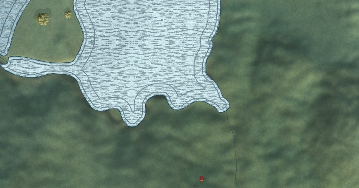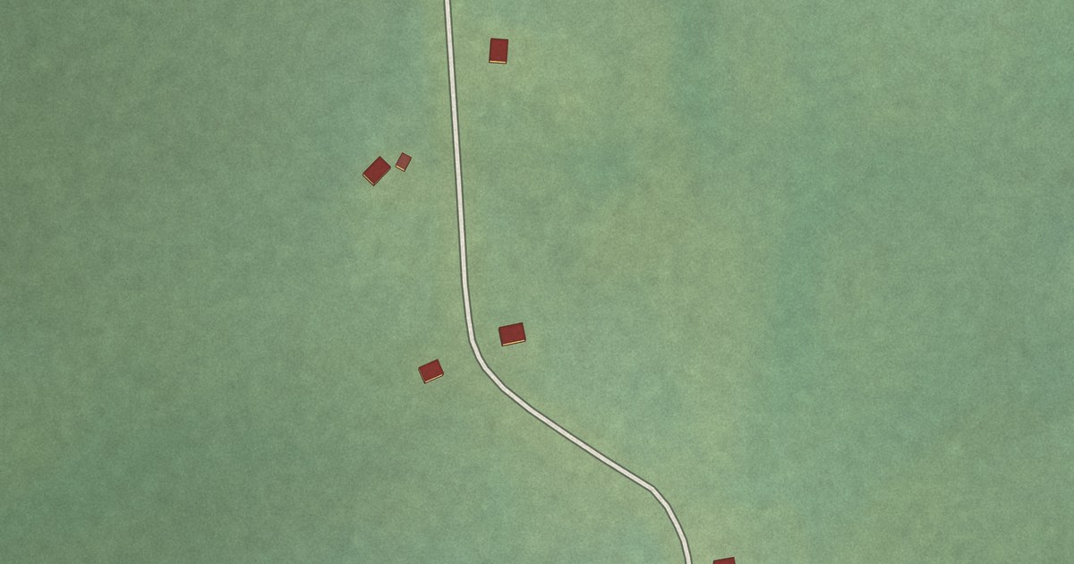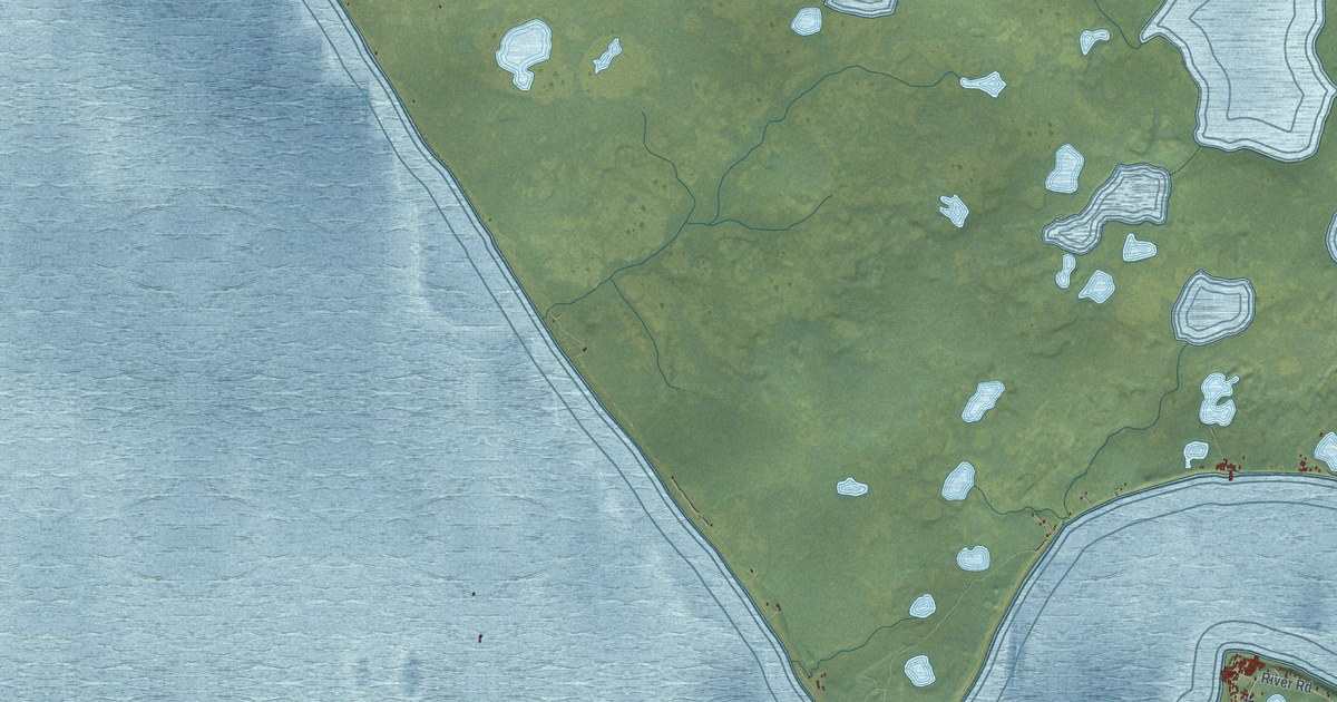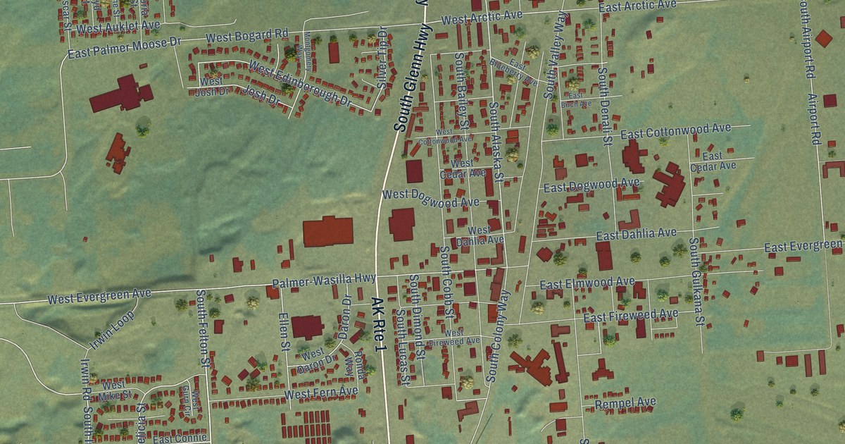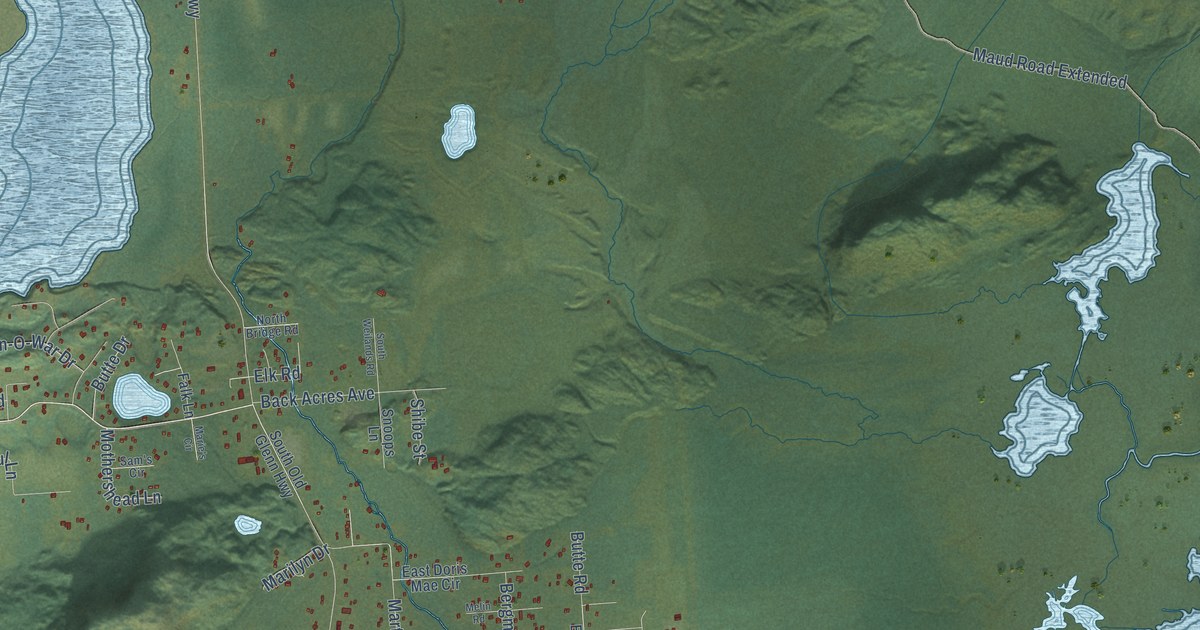
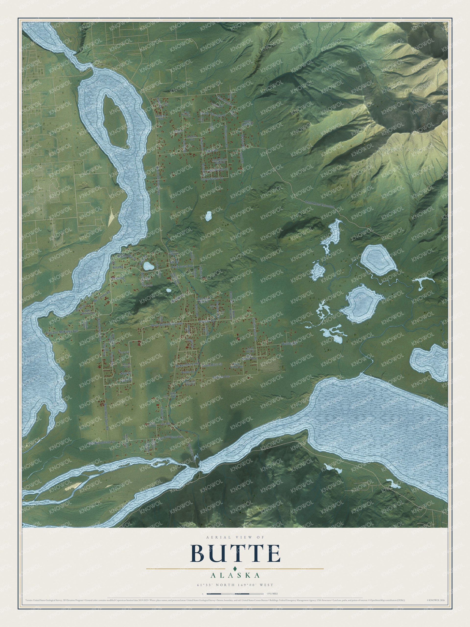
This beautifully detailed map of Butte, Alaska was created in 2026 using aerial imagery combined with modern topographical, census, street and landmark data. It’s a one-of-a-kind view of Butte that combines accurate data with a vintage aesthetic. The map shows every building in its true location, many of the roads carry their names, and the shaded topographic relief shows the shape of the land.
Explore an aerial view of Butte, Alaska
On the map you’ll find Knik Public Use Area, along with South Bodenburg Loop, Bodenburg Loop, Plumley Road, South Caudill Road, Our Road, Trellis Avenue, East Idle Drive, Smith Road, McKechnie Loop, Marley Road, Witherspoon Road, and more. Butte sits about 5 miles north of Knik River, 6 miles southeast of Palmer and 8 miles east of Gateway. If you look closely you can even find your house accurately drawn in its correct location. Zoom in on the preview to look for yours.
Did You Know?
John Bodenburg homesteaded the first farm in the area in 1917. In 1935, Matanuska Colonists settled 25 tracts at Butte, around a site called Camp 10. More land was settled after World War II. Several sawmills ran here between 1940 and 1970. That’s from the Alaska DCRA.
Take a closer look at the Butte map
Names on this map
These names are printed on this map.
Places: Knik Public Use Area.
Streets and roads: South Bodenburg Loop, Bodenburg Loop, Plumley Road, South Caudill Road, Our Road, Trellis Avenue, East Idle Drive, Smith Road, McKechnie Loop, Marley Road, Witherspoon Road, East Lazy Lane.
More street names, A to Z
Annette Circle, Back Acres Avenue, Bergman Road, Bodenburg Spur Road, Bohman Way, Brian Drive, Brimar Street, Browns Avenue, Butte Airman Road, Butte Drive, Butte Road, Carol Ann Drive, Cheechako Drive, Comfort Court, Cooper Street, Cozy Court, Dancer Circle, Derby Drive, Dilly Avenue, East Doc McKinley Avenue, East Doris Mae Circle, East John King Circle, East Julie Marie Circle, East Marcus Baker Drive, East Melanie Lane, East Our Spr, East Pint Circle, East Republican Lane, East Republican Way, Eckert Drive, Elk Road, Falk Lane, Fritz Drive, Harmony Avenue, Idle Drive, Ingolf Street, Jessie Jo Place, Juniper Street, Kent Street, Kuhn Drive, Lake George Drive, Laura Street, Lazenby Road, Man-O-War Drive, Marie's Circle, Marilyn Drive, Marth Road, Maud Road, Maud Road Extended, Mc Combs Road, Melin Road, Mothershead Lane, Nina Road, North Bridge Road, North Dewey Drive, North Old Glenn Highway, Old Glenn Highway, Peaceful Lane, Pine Needle Way, Rambling Road, Sam's Circle, Sandy Circle, Shibe Street, Snoops Lane, Sodak Court, South Butte Road, South Mitzi Circle, South Old Glenn Highway, South Pioneer Drive, South River View Drive, South Trellis Avenue, South Weilands Road, Spiro Drive, Sullivan Avenue, Three Sisters Drive, Tranquility Road, Tustin Drive, Vera Way, Walden Road, Walling Road, Windless Drive.
See it on a wall
The Butte map as a framed print. Swipe for more.


This beautifully detailed map of Butte makes an attractive addition to your office, library, or den, and it can even be used to teach children the geography and history of the area. It also makes a great gift for anyone with Butte roots. When you’re done exploring, click here to get your copy of the Butte map.