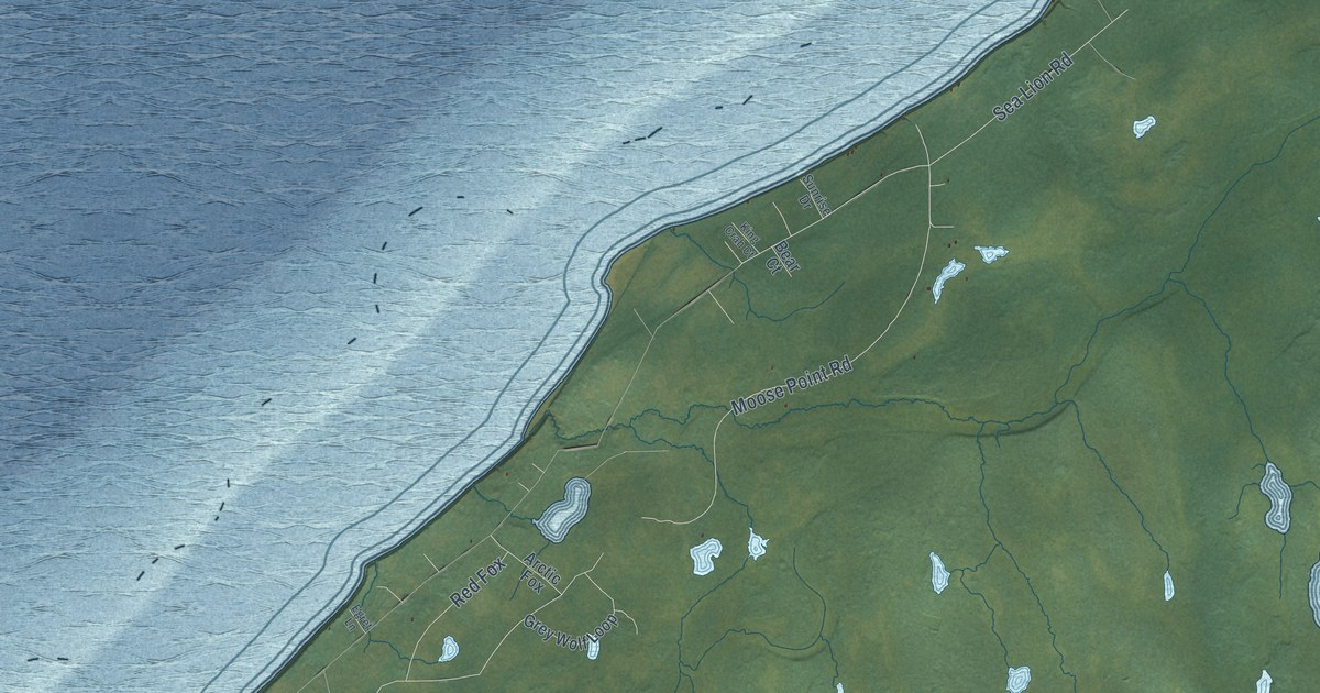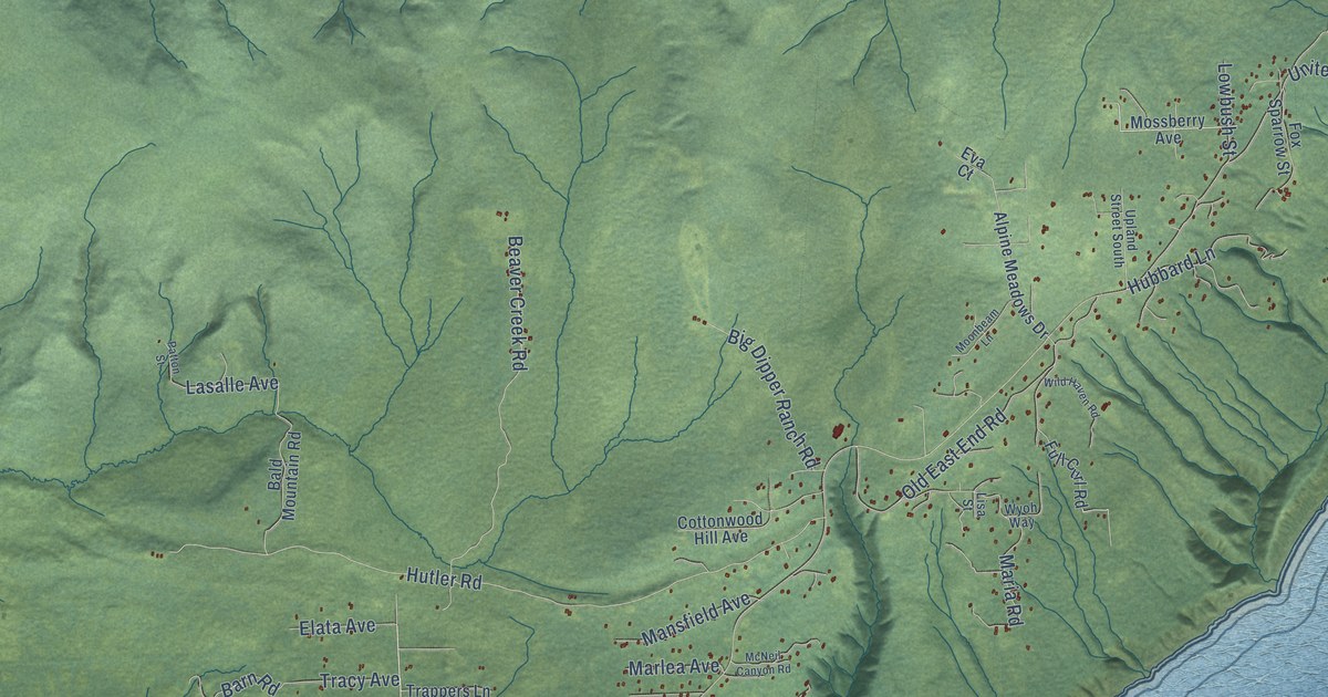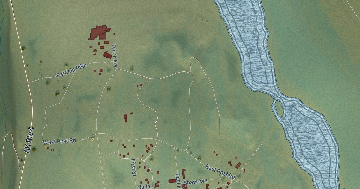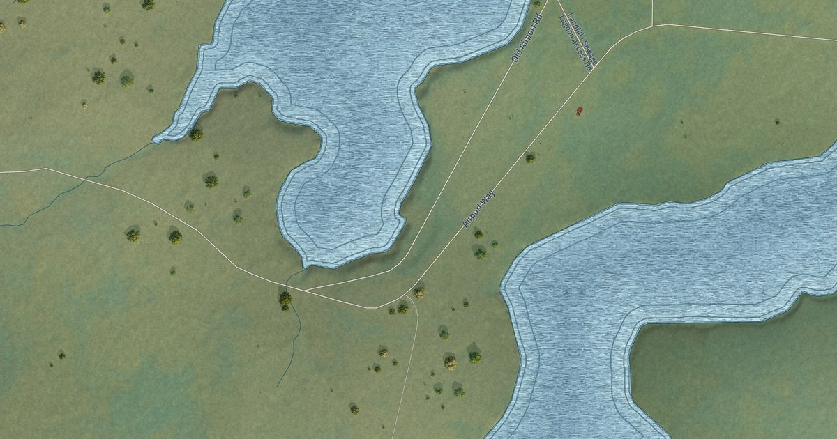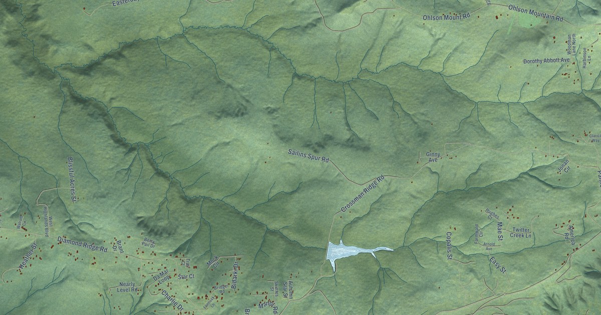
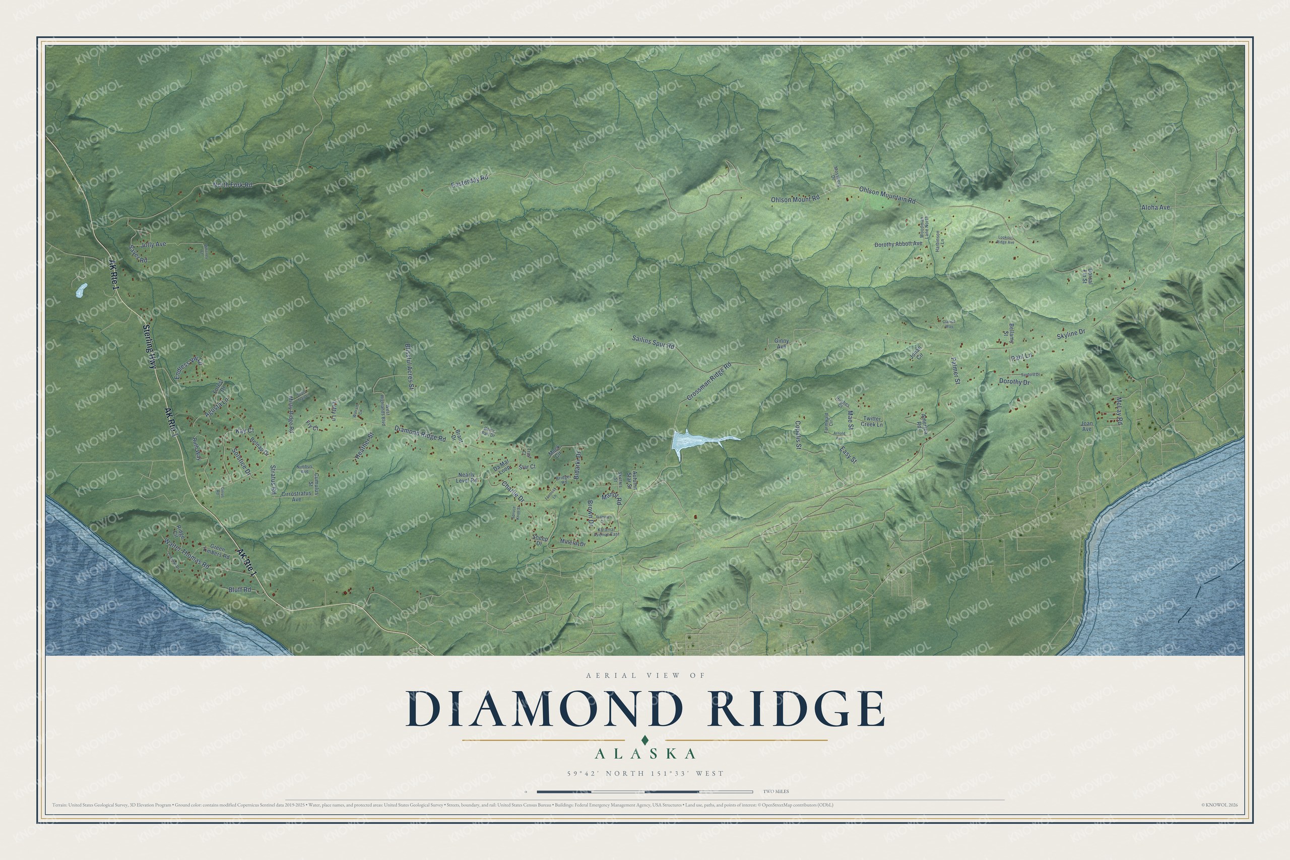
This beautifully detailed map of Diamond Ridge, Alaska was created in 2026 using aerial imagery combined with modern topographical, census, street and landmark data. It’s a one-of-a-kind view of Diamond Ridge that combines accurate data with a vintage aesthetic. The map shows every building in its true location, many of the roads carry their names, and the shaded topographic relief shows the shape of the land.
Explore an aerial view of Diamond Ridge, Alaska
On the map you’ll find Endless Vw Lp, along with Sterling Highway, Skyline Drive, Mae Street, Diamond Ridge Road, Easterday Road, Crossman Ridge Road, Ohlson Mountain Road, North Fork Road, Ohlson Mount Road, Sailins Spur Road, Walter Thomas Road, and more. Diamond Ridge sits about 5 miles northwest of Kachemak, 5 miles north of Homer and 7 miles southeast of Anchor Point. If you look closely you can even find your house accurately drawn in its correct location. Zoom in on the preview to look for yours.
Take a closer look at the Diamond Ridge map
Names on this map
These names are printed on this map.
Streets and roads: AK Route 1, Sterling Highway, Skyline Drive, Mae Street, Diamond Ridge Road, Easterday Road, Crossman Ridge Road, Ohlson Mountain Road, North Fork Road, Ohlson Mount Road, Endless Vw Lp, Sailins Spur Road.
More street names, A to Z
Agusta Lane, Aloha Avenue, America Road, Arnold Avenue, Autumn Star Street, Bellamy Street, Belnap Drive, Berry Pail Drive, Bidarki Drive, Blissful Acres Street, Bluff Road, Brant Drive, Bridger Road, Brown Drive, Charlie Drive, Cirrostratus Avenue, Cirrus Road, Clarice Way, Copalis Street, Cumulus Street, Da Mar Loop, Dorothy Abbott Avenue, Dorothy Drive, Dorsal Fin Street, Easy Street, Farmwald Circle, Flintlock Lane, Forest Drive, Fry Court, Ginny Avenue, Green Timbers Road, Harbinson Lane, Heather Street, Hughes Court, Iliamna Court, Joan Avenue, Jolly Avenue, Jonan Circle, Katamar Avenue East, Kay Court, Lofty Lane, Lookout Drive, Lookout Ridge Avenue, Manor Road, McLay Road, Mineral Drive, Misty Ridge Road, Mock Circle, Mossberg Drive, Nearly Level Road, Nimbus Avenue, Pahl Lane, Palmer Street, Ridge Circle, Ruth Way, Sanford Drive, Sayer Road, Sheep Drive, Skittles Street, Solstice Drive, Spruce Knoll Street, Star Court, Stratus Road, Suzis Trail Lane, Trail Court, Twitter Creek Lane, Walrath Circle, Walter Thomas Road, West Highlands Boulevard, Whitney Street, Woodman Lane North.
See it on a wall
The Diamond Ridge map as a framed print. Swipe for more.


This beautifully detailed map of Diamond Ridge makes an attractive addition to your office, library, or den, and it can even be used to teach children the geography and history of the area. It also makes a great gift for someone who left Diamond Ridge and still calls it home. When you’re done exploring, click here to get your copy of the Diamond Ridge map.