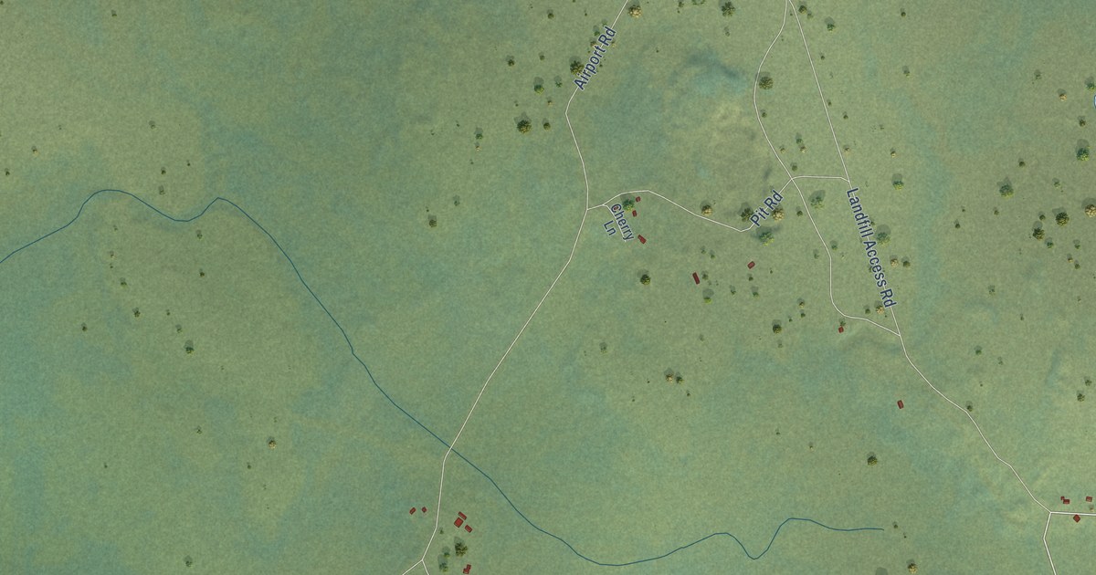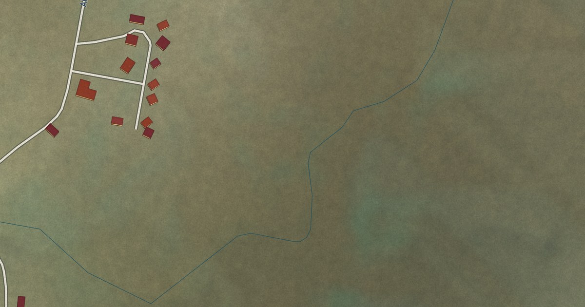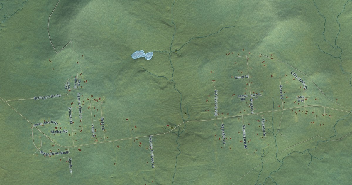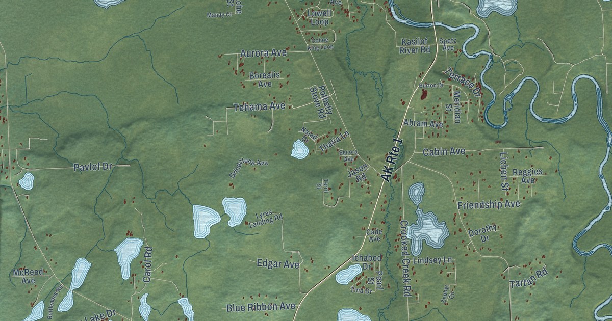
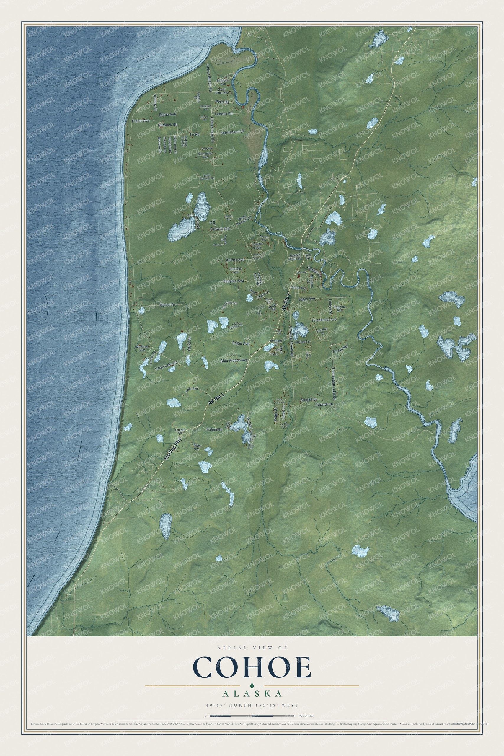
This beautifully detailed map of Cohoe, Alaska was created in 2026 using aerial imagery combined with modern topographical, census, street and landmark data. It’s a one-of-a-kind view of Cohoe that combines accurate data with a vintage aesthetic. The map shows every building in its true location, many of the roads carry their names, and the shaded topographic relief shows the shape of the land.
Explore an aerial view of Cohoe, Alaska
On the map you’ll find Sterling Highway, Tehama Avenue, Tri Road, Cohoe Loop Road, Tustumena Lake Road, Crooked Creek Road, Stol Road, Pavlof Drive, Cabin Avenue, Carol Road, Linda Lane, Fairway Avenue, and more. Cohoe sits about 4 miles southwest of Kasilof, 5 miles northeast of Clam Gulch and 13 miles south of Kalifornsky. If you look closely you can even find your house accurately drawn in its correct location. Zoom in on the preview to look for yours.
Did You Know?
Victor Holm sailed from Finland and made his home in Alaska. In 1890 he built a cabin in Cohoe. The cabin and many of his handmade items still survive. It is listed on the National Register of Historic Places. Cohoe was first a farm settlement, and a post office opened there in 1950. That’s from the Alaska DCRA.
Take a closer look at the Cohoe map
Names on this map
These names are printed on this map.
Streets and roads: AK Route 1, Sterling Highway, Tehama Avenue, Tri Road, Cohoe Loop Road, Tustumena Lake Road, Crooked Creek Road, Stol Road, Pavlof Drive, Cabin Avenue, Carol Road, Linda Lane.
More street names, A to Z
Abram Avenue, Access Avenue, Acys Avenue, Alexander Avenue, Auklet Avenue, Aurora Avenue, Blue Ribbon Avenue, Borealis Avenue, Bottens Street, Bottleneck Road, Burdock Road, Burton Drive, Cache Street, Cade Avenue, Cassidy Drive, Cohoe Beach Road, Cohoe King Loop, Cohoe Lake Drive, Creek End Road, Diana Avenue, Dorothy Drive, Edgar Avenue, Elaine Avenue, Estaban Avenue, Fairway Avenue, Fedora Street, Florence Avenue, Friendship Avenue, Frosty Foot Avenue, Gordon Avenue, Grindstone Avenue, Happys Trail Street, Hermanson Drive, Ichabod Drive, Jason Road, Kasilof River Road, Kilbourne Street, Kinney Street, Kotik Avenue, Kunz Avenue, Ledoux Road, Lichen Street, Lindsey Lane, Lost Street, Lowell Loop, Lyras Landing Road, Madsen Avenue, Mandy Court, Marlene Drive, McReed Avenue, Meridian Street, Naiad Drive, Ness Road, Pearl Street, Potbelly Stove Road, Reggies Avenue, Ridge Street, Saint Elias Avenue, Secora Avenue, Smith Donnelly Road, Spetz Avenue, Sunset Drive, Susan Drive, Swan Lake Drive, Tartan Road, Terrace Drive, Terril Street, Thalia Lane, Tina Drive, Toklat Road, Tolum Road, Webb Ramsell Road, Wiley Avenue, Yolanda Drive, Zephyr Circle.
See it on a wall
The Cohoe map as a framed print. Swipe for more.


This beautifully detailed map of Cohoe makes an attractive addition to your office, library, or den, and it can even be used to teach children the geography and history of the area. It also makes a great gift for someone who left Cohoe and still calls it home. When you’re done exploring, click here to get your copy of the Cohoe map.