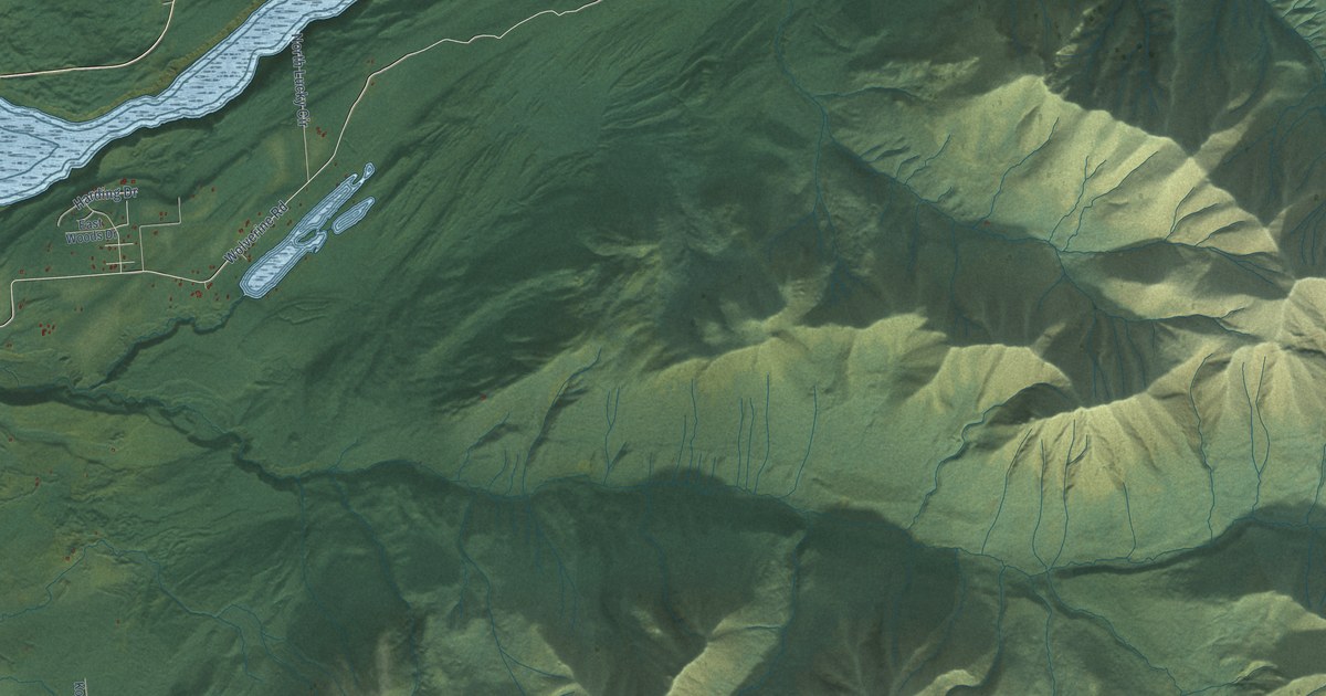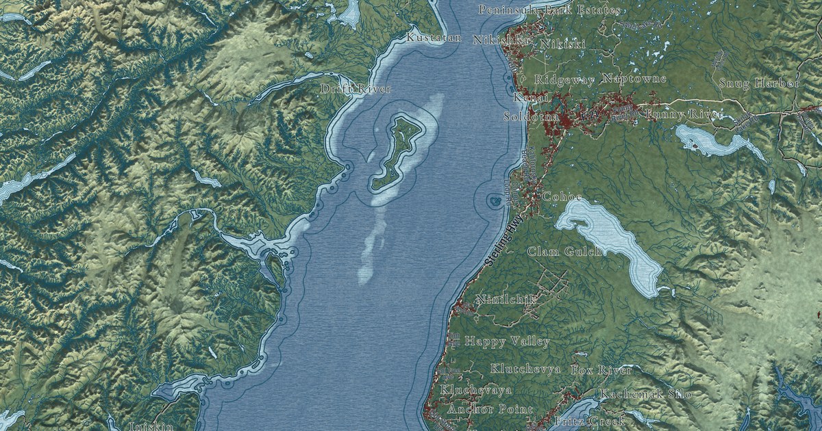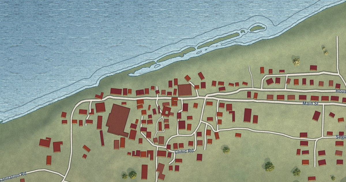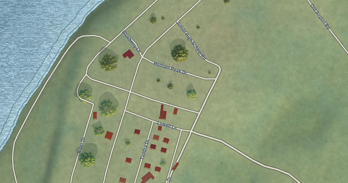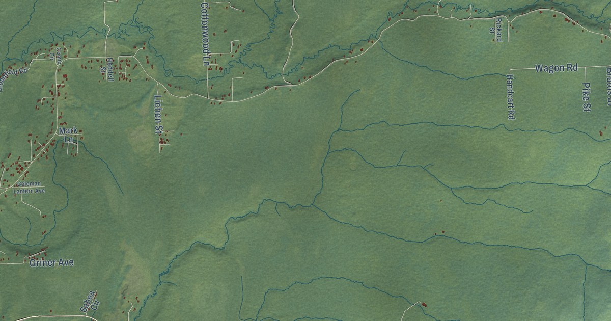
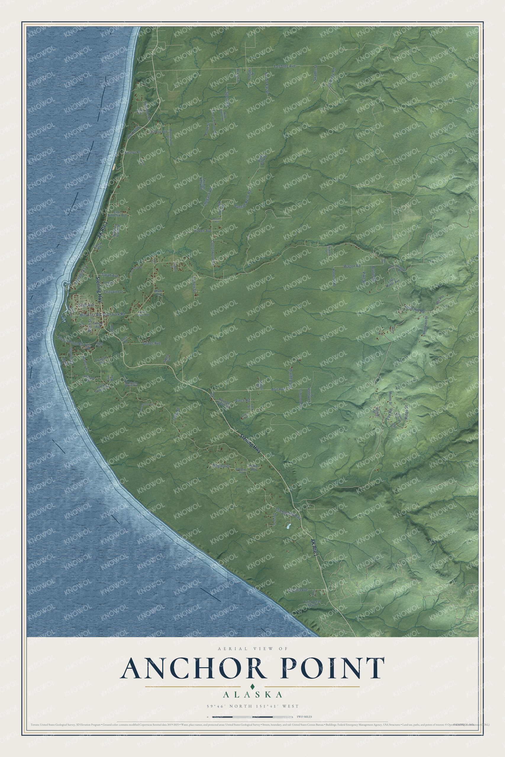
This beautifully detailed map of Anchor Point, Alaska was created in 2026 using aerial imagery combined with modern topographical, census, street and landmark data. It’s a one-of-a-kind view of Anchor Point that combines accurate data with a vintage aesthetic. The map shows every building in its true location, many of the roads carry their names, and the shaded topographic relief shows the shape of the land.
Explore an aerial view of Anchor Point, Alaska
On the map you’ll find Sterling Highway, Ridge Street, Gateway Road, Wagon Road, Hannah Rene Road, Alut Avenue, Spern Road, North Fork Road, Old Sterling Highway, Tall Tree Avenue, Cottonwood Lane, Chugach Road, and more. Anchor Point sits about 6 miles southwest of Nikolaevsk, 7 miles northwest of Diamond Ridge and 11 miles northwest of Homer. If you look closely you can even find your house accurately drawn in its correct location. Zoom in on the preview to look for yours.
Did You Know?
In the summer of 1778, Captain James Cook sailed into the inlet looking for a Northwest Passage. The crews of his ships, the Resolution and Discovery, lost a kedge anchor to the powerful tidal currents. Cook named the place Anchor Point after that loss. A post office opened here in 1949. That’s from the Alaska DCRA.
Take a closer look at the Anchor Point map
Names on this map
These names are printed on this map.
Streets and roads: Sterling Highway, AK Route 1, Ridge Street, Gateway Road, Wagon Road, Hannah Rene Road, Alut Avenue, Spern Road, North Fork Road, Old Sterling Highway, Tall Tree Avenue, Cottonwood Lane.
More street names, A to Z
Alpine Drive, Alta Loop, Anchor Point Road, Ann Road, Ashford Drive, Beluga Street, Birch Haven Road, Birch Street, Birdie Avenue, Bluegrass Street, Browning Avenue, Brutus Street, Camai Road, Cape Ninilchik Avenue, Chestes Street, Chillywind Drive, Chugach Road, Coleman Lantern Avenue, Comic Circle, Comstock Street, Danver Street, Denny Lane, Docs Road, Dusty Street, Epic Road, Erin Way, Ester Avenue, Flintstone Street, Forever Green Street, Fox Road, Golf Drive, Greenfield Road, Griner Avenue, Handcart Road, Harry Ohlson Road, Haven Avenue, Heatley Street, Heddell Street, Hoag Court, Holly Lane, Ilene Drive, Inman Avenue, Jack Street, Knob Hill Road, Kutafya Road, Lee Roy Avenue, Lichen Street, Louis Huber Avenue, Luke Road, Mark Lane, Markoka Avenue, McKechine Street, Milo Fritz Road, Moffit Place, Moosefield Street, Motor Way, Mystic Street, Nez Avenue, Norman Lowell Road, Norwegian Woods Road, Not So Far Street, Original Drive, Pathfinder Road, Pike Street, Poon Street, Rickard Street, Right Bank Street, Rollins Way, Sabea Circle, Sand Beach Road, Sarah Avenue, School Avenue, Seabury Road, Shorebird Lane, Silverberry Avenue, Snader Street, Spruce Circle Road, Stikine Street, Sun Eagle Drive, Thomas Kelly Road, Tryagain Avenue, Tulin Ocean View Drive, Van Seventer Avenue, Veiled Street, Vince Road, Virginia Avenue, Waggon Road, Whiskey Gulch Street, Wild Cotton Road.
See it on a wall
The Anchor Point map as a framed print. Swipe for more.


This beautifully detailed map of Anchor Point makes an attractive addition to your office, library, or den, and it can even be used to teach children the geography and history of the area. It also makes a great gift for someone who left Anchor Point and still calls it home. When you’re done exploring, click here to get your copy of the Anchor Point map.