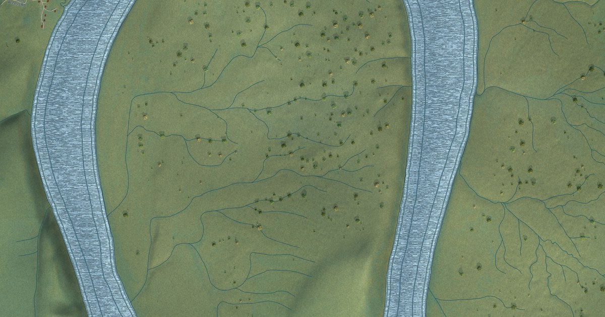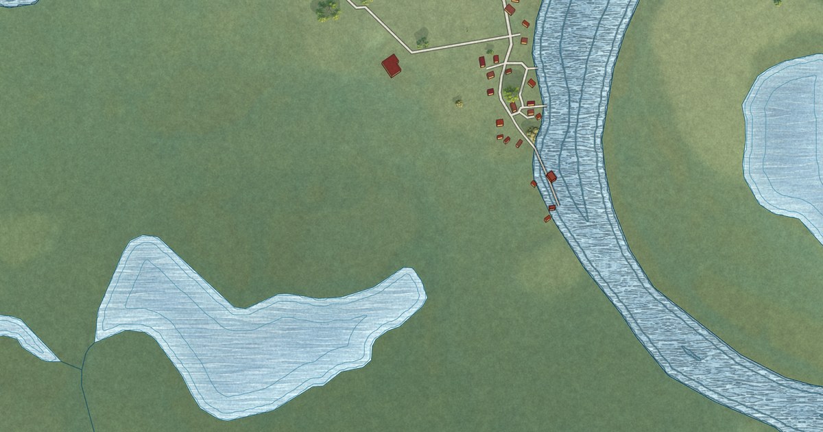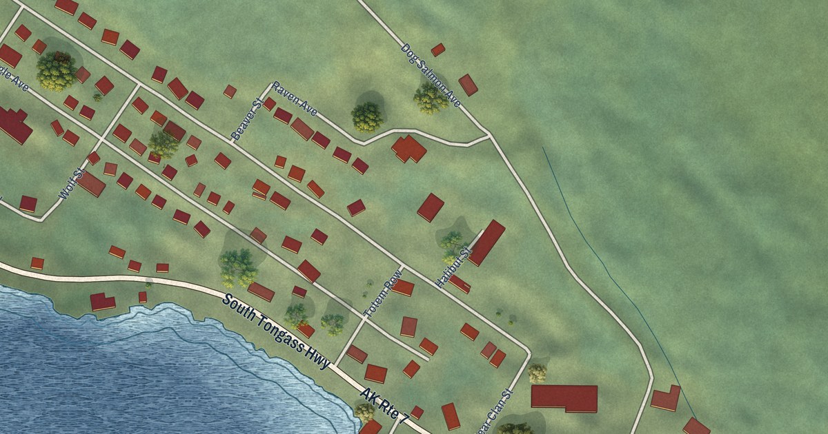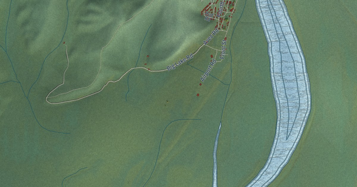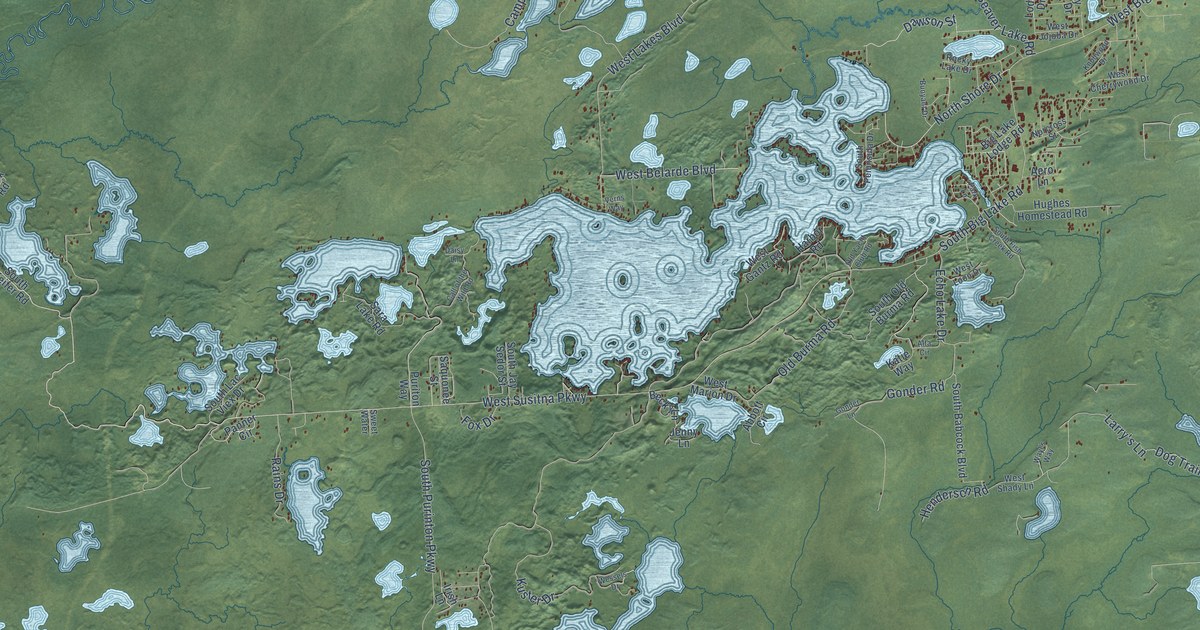
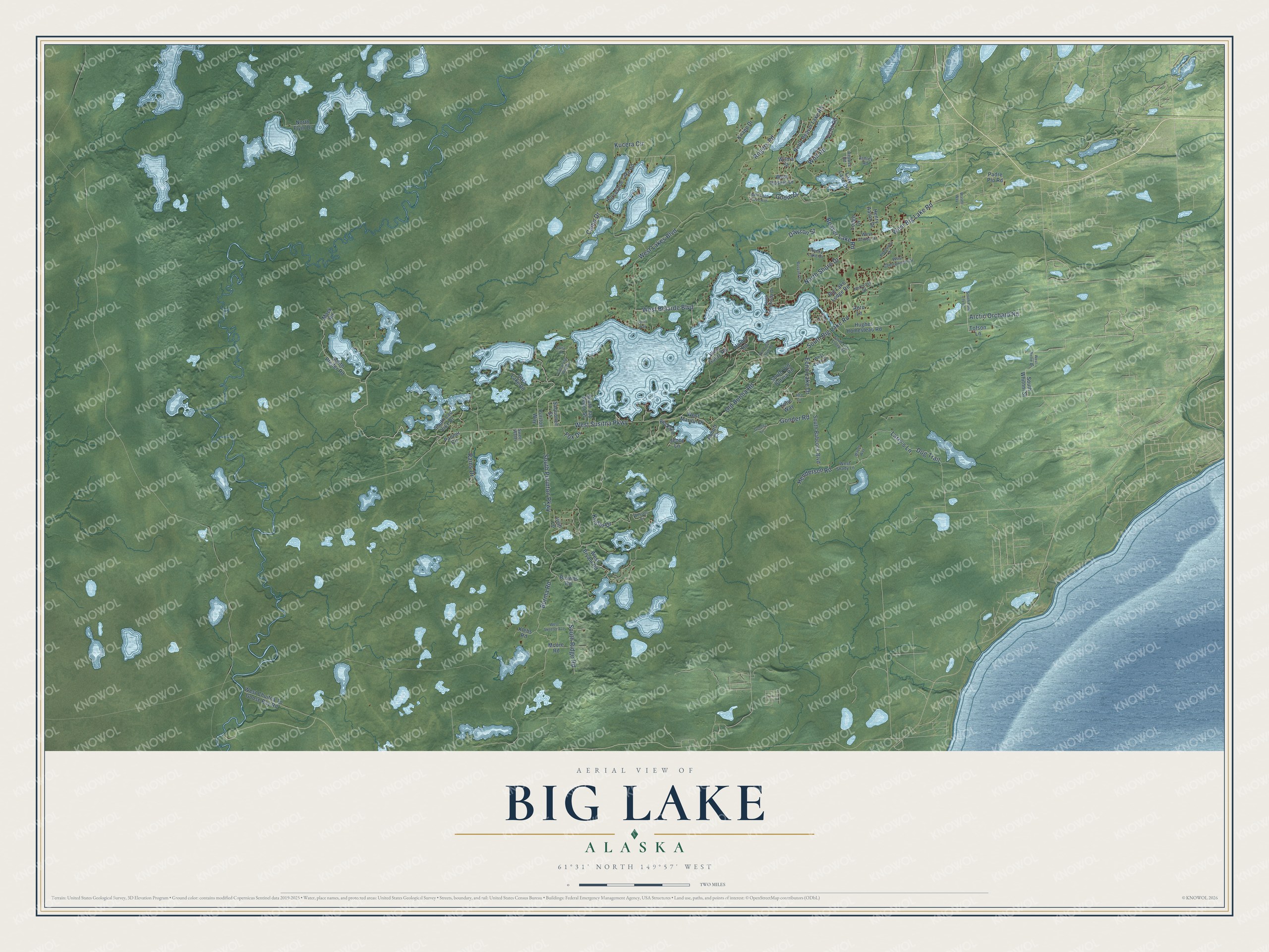
This beautifully detailed map of Big Lake, Alaska was created in 2026 using aerial imagery combined with modern topographical, census, street and landmark data. It’s a one-of-a-kind view of Big Lake that combines accurate data with a vintage aesthetic. The map shows every building in its true location, many of the roads carry their names, and the shaded topographic relief shows the shape of the land.
Explore an aerial view of Big Lake, Alaska
On the map you’ll find West Susitna Parkway, West Belarde Boulevard, Burma Road, West Lakes Boulevard, South Big Lake Road, South Purinton Parkway, West Big Lake Road, Beaver Lake Road, Rogers Road, Gonder Road, North Shore Drive, Larry’s Lane, and more. Big Lake sits about 9 miles southwest of Houston, 12 miles west of Knik-Fairview and 12 miles north of Point MacKenzie. If you look closely you can even find your house accurately drawn in its correct location. Zoom in on the preview to look for yours.
Did You Know?
Around 1899, the Boston and Klondike Company made the first sled trail north from Knik into the Talkeetna Mountains, by way of Big Lake. Homesteaders settled here in 1929 and after World War II. They hauled materials over eleven miles of rough trail from Pittman Railroad Station. That’s from the Alaska DCRA.
Take a closer look at the Big Lake map
Names on this map
These names are printed on this map.
Streets and roads: West Susitna Parkway, West Belarde Boulevard, Burma Road, West Lakes Boulevard, South Big Lake Road, South Purinton Parkway, West Big Lake Road, Beaver Lake Road, Rogers Road, Gonder Road, North Shore Drive, Larry's Lane.
More street names, A to Z
Abbott Circle, Aero Lane, Alta Circle, Arctic Orchard Road, Ashley Road, Becky Lane, Big Lake Lodge Road, Browns Road, Buoyant Drive, Call of the Wild Road, Camp Drive, Daisy Lane, Dawson Street, Dog Trail, Echo Lake Drive, Fox Drive, Godin Drive, Gonder Lane, Harbor Road, Henderson Road, Henry Aaron Drive, Horseshoe Lake Road, Hughes Homestead Road, Irish Lane, Jenny Lane, Katie Way, Klebs Road, Knapp Drive, Knollwood Drive, Kucera Circle, Kuster Drive, Lazy Lake Drive, Lodge Drive, Mack Road, Moore Road, Norcross Street, North Beaver Lake Road, North Flyin Drive, Old Burma Road, Old Yacht Club Road, Padre Pio Road, Panner Circle, Park Lane, Puriton Way, Rains Drive, Repose Road, Rocky Lake Drive, Saquonee Street, Sara Lake Road, South Babcock Boulevard, South Fish Creek Road, South Jay Sedor Street, South Lac Viex Drive, South Old Burma Road, South Peninsula Drive, South Pfeifer Road, South Pond Lily Lane, South Ridge Road, South Whitnni Street, Sweet Water, Tofson Lane, Verns Way, Victor Road, Wasey Way, Wayl's Way, Wessels Drive, West Bryant Road, West Cherrywood Drive, West Chuitna To Goose Bay Road, West Gantz Road, West Huskie Drive, West Jojoba Drive, West Loon Cove Avenue, West Loon Drive, West Marion Drive, West Nellie Drive, West Shady Lane, West Skeeter Avenue, Wilma Street, Wolf Road.
See it on a wall
The Big Lake map as a framed print. Swipe for more.


This beautifully detailed map of Big Lake makes an attractive addition to your office, library, or den, and it can even be used to teach children the geography and history of the area. It also makes a great gift for someone who left Big Lake and still calls it home. When you’re done exploring, click here to get your copy of the Big Lake map.