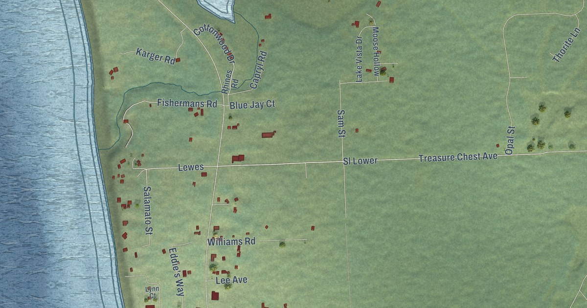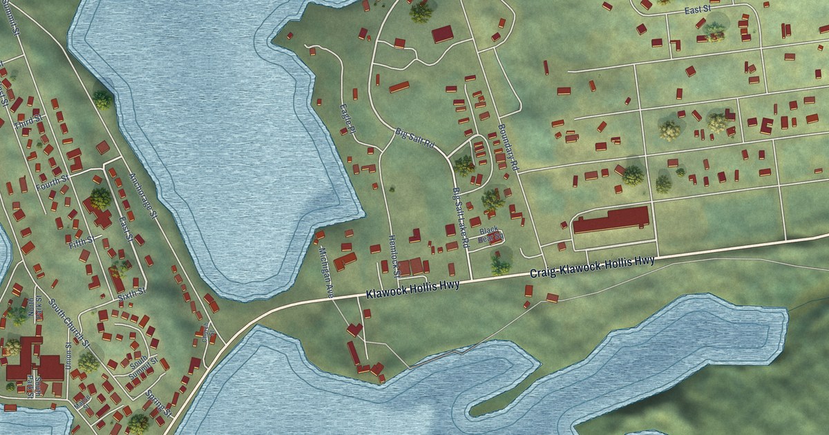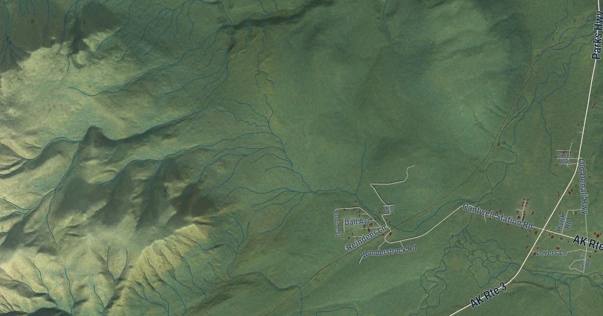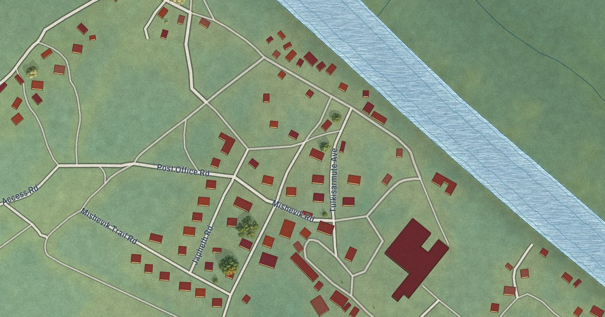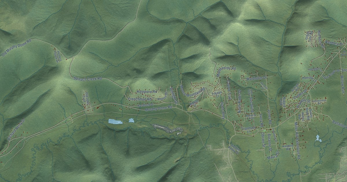
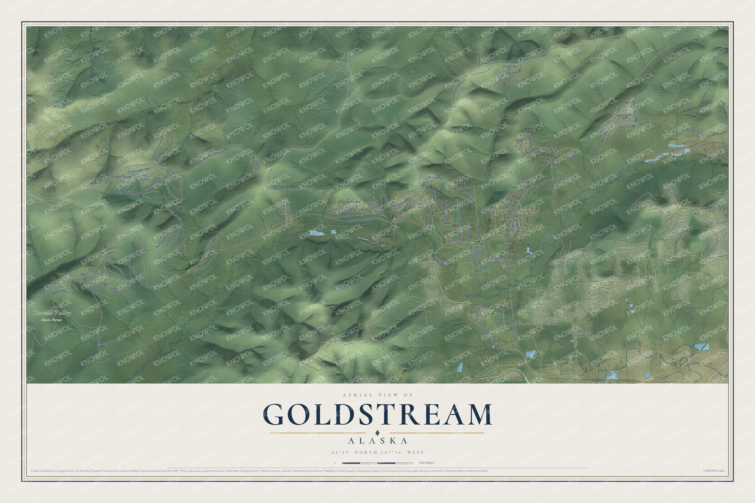
This beautifully detailed map of Goldstream, Alaska was created in 2026 using aerial imagery combined with modern topographical, census, street and landmark data. It’s a one-of-a-kind view of Goldstream that combines accurate data with a vintage aesthetic. The map shows every building in its true location, many of the roads carry their names, and the shaded topographic relief shows the shape of the land.
Explore an aerial view of Goldstream, Alaska
On the map you’ll find Tanana Valley State Forest, Grand Teton, and Gus Grind, along with Reconstruction Road, High Sierra Drive, Reslin Trail, Sheep Creek Road, Teslin Trail, Waterford Road, Old Murphy Dome Road, Murphy Dome Road, Goldstream Road, and more. Goldstream sits about 4 miles north of Ester, 8 miles northwest of College and 10 miles west of Farmers Loop. If you look closely you can even find your house accurately drawn in its correct location. Zoom in on the preview to look for yours.
Did You Know?
The Goldstream valley was one of the earliest gold mining areas in the Fairbanks region. Settlers had arrived in the valley by 1905. The name Goldstream was already in local use in 1903, when T.G. Gerdine reported it. That’s from the Alaska DCRA.
Take a closer look at the Goldstream map
Names on this map
These names are printed on this map.
Places: Tanana Valley State Forest.
Streets and roads: Reconstruction Road, High Sierra Drive, Reslin Trail, Grand Teton, Gus Grind, Sheep Creek Road, Teslin Trail, Waterford Road, Old Murphy Dome Road, Murphy Dome Road, Goldstream Road, Cache Creek Road.
More street names, A to Z
Abraham Road, Appomattox Road, Ballaine Road, Ballina Road, Bonanza Trail, Breanne Street, Bristol Bay, Bucks Drive, Cascade Road, Clifden Road, Cordes Drive, Coyote Trail, Determination Drive, Doonerak Road, Driven Trail, Emancipation Lane, Franklin Street, Frenchman Road, Golden Valley Drive, Green Leaf Road, Guss Grind, Hardluck Drive, Harpers Road, Hattie Creek Road, Helios Avenue, High Sierra, Hollis Street, Horsetail Trail, Ivans Alley, Ivory Road, Jennifer Drive, Jones Road, Keystone Road, Lawlor Road, Liard Lane, Line Drive, Matterhorn Drive, Maura Street, Miller Hill Extension Road, Miller Hill Road, Molly Road, Monteverde Road, Moose Mountain Road, North Rader Drive, No Way Lane, Nugget Loop, Obrien Street, Old John Trail, Pandora Drive, Papp Avenue, Penrose Lane, Perfect Perch Drive, Photon Drive, Propwash Drive, Rebel Way, Red Berry Road, Resolution Road, Richard Berry Drive, Seward Road, Sherman Road, Skyflight Avenue, Smokey Mountain Road, Snowhook Trail, Spinach Creek Road, Sunlight Drive, Sunny Slope Road, Tekapo Court, Toboggan Lane, Triplehorn Lane, Twin Flower Drive, Waldheim Drive, Willow Run, Wind River Road, Yankee Way, Yellowknife Drive, Yellowsnow Road.
See it on a wall
The Goldstream map as a framed print. Swipe for more.


This beautifully detailed map of Goldstream makes an attractive addition to your office, library, or den, and it can even be used to teach children the geography and history of the area. It also makes a great gift for anyone who grew up in Goldstream or moved away. When you’re done exploring, click here to get your copy of the Goldstream map.