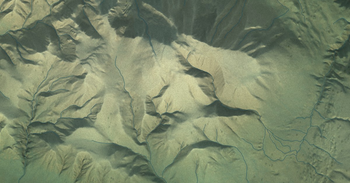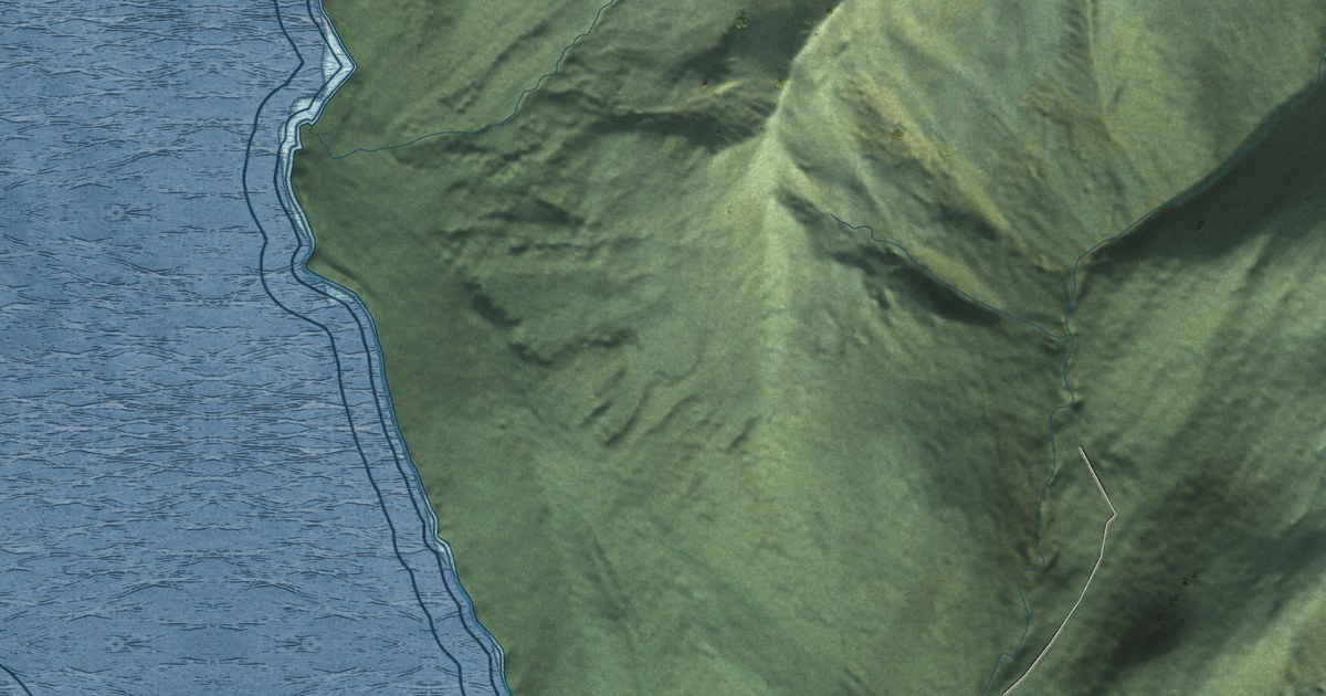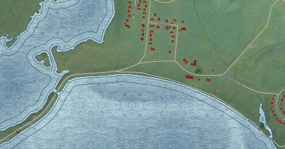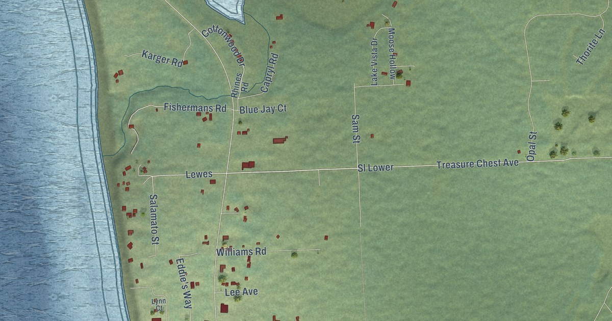
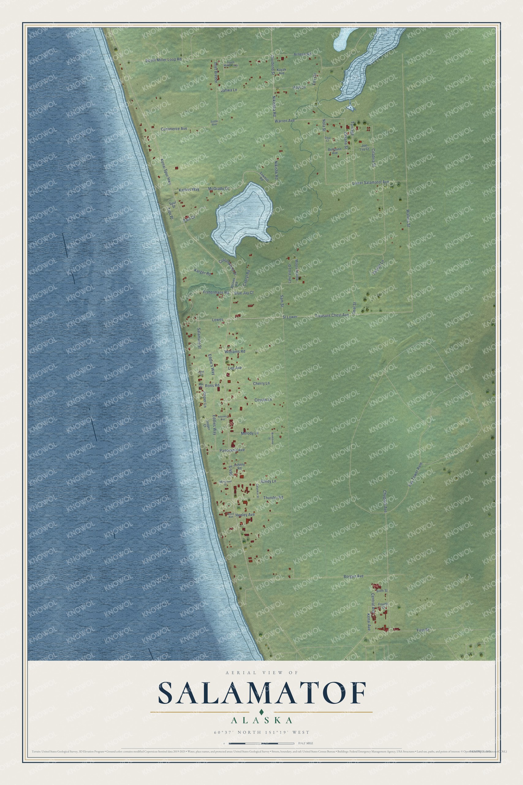
This beautifully detailed map of Salamatof, Alaska was created in 2026 using aerial imagery combined with modern topographical, census, street and landmark data. It’s a one-of-a-kind view of Salamatof that combines accurate data with a vintage aesthetic. The map shows every building in its true location, many of the roads carry their names, and the shaded topographic relief shows the shape of the land.
Explore an aerial view of Salamatof, Alaska
On the map you’ll find Sl Lower, Lewes, and Turnage, along with Dividend Street, Nikishka Road, Warren Avenue, Treasure Chest Avenue, Nola Street, McGrady Court, Katlins Way, Kenai Avenue, Rons Road, and more. Salamatof sits about 5 miles northwest of Kenai, 9 miles south of Nikiski and 10 miles northwest of Ridgeway. If you look closely you can even find your house accurately drawn in its correct location. Zoom in on the preview to look for yours.
Take a closer look at the Salamatof map
Names on this map
These names are printed on this map.
Streets and roads: Sl Lower, Dividend Street, Nikishka Road, Warren Avenue, Lewes, Treasure Chest Avenue, Turnage, Nola Street, McGrady Court, Katlins Way, Kenai Avenue, Rons Road.
More street names, A to Z
Arness Road, Bettyann Avenue, Blue Jay Court, Borgen Avenue, Capryl Road, Central Avenue, Cessna Street, Cherry Lane, Chugach Avenue, Citabria Street, Commerce Avenue, Cottonwood Drive, Coyote Lane, Eddie's Way, Eddies Way, Faa Tower Rem, First Street, Fishermans Road, Fourth Street, Fox Circle, Galankin Street, Goja Court, Henley Avenue, Hoyt Lane, Inlet Breeze, Jahwa Lane, Jasper Court, Jasper Lane, Joe Luy Court, Johnny Road, Karger Road, Kayak Avenue, Kenai Spur Highway, Kilarney Avenue, Lake Vista Drive, Lee Avenue, Lower Salamatof Avenue, Lynn Court, Melody Lane, Merrywood Drive, Moose Hollow, Nikishk Road, Opal Street, Panorama Avenue, Paul Court, Rhines Road, Ron Court, S-490, Salamato Street, Sam Street, Sandy Lane, Sawmill Road, Sixth Street, South Miller Loop, South Miller Loop Road, Spur Street, Suttle Avenue, Thorite Lane, Thunder Road, Tide Place, Veco Avenue, Wallers Street, Williams Road, Windchime Street.
See it on a wall
The Salamatof map as a framed print. Swipe for more.


This beautifully detailed map of Salamatof makes an attractive addition to your office, library, or den, and it can even be used to teach children the geography and history of the area. It also makes a great gift for anyone with Salamatof roots. When you’re done exploring, click here to get your copy of the Salamatof map.