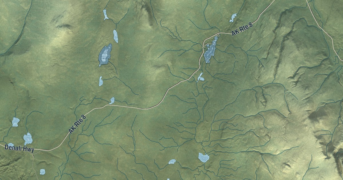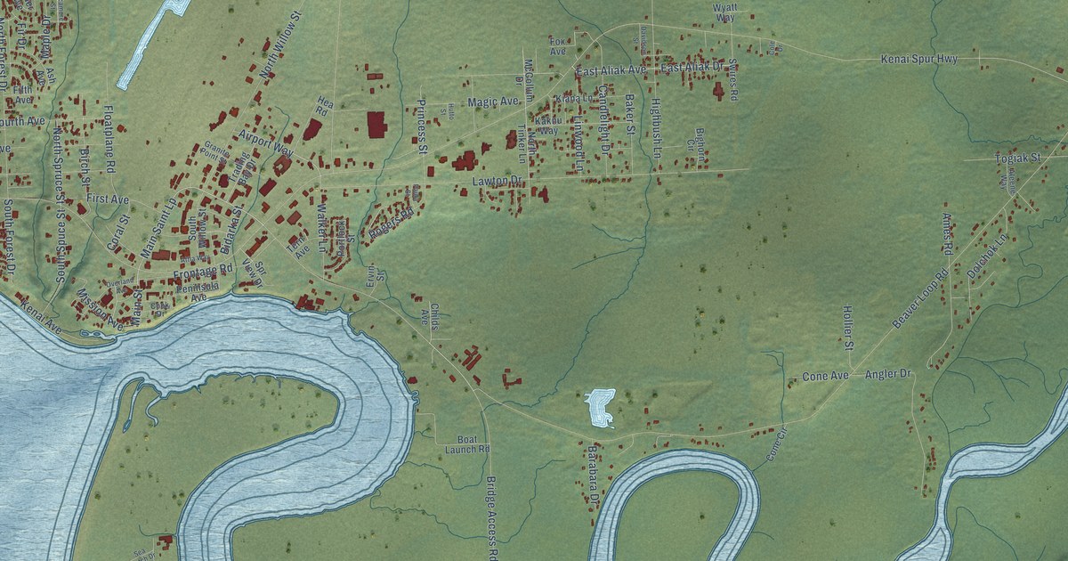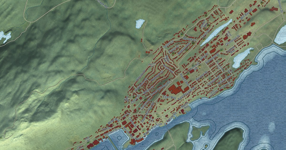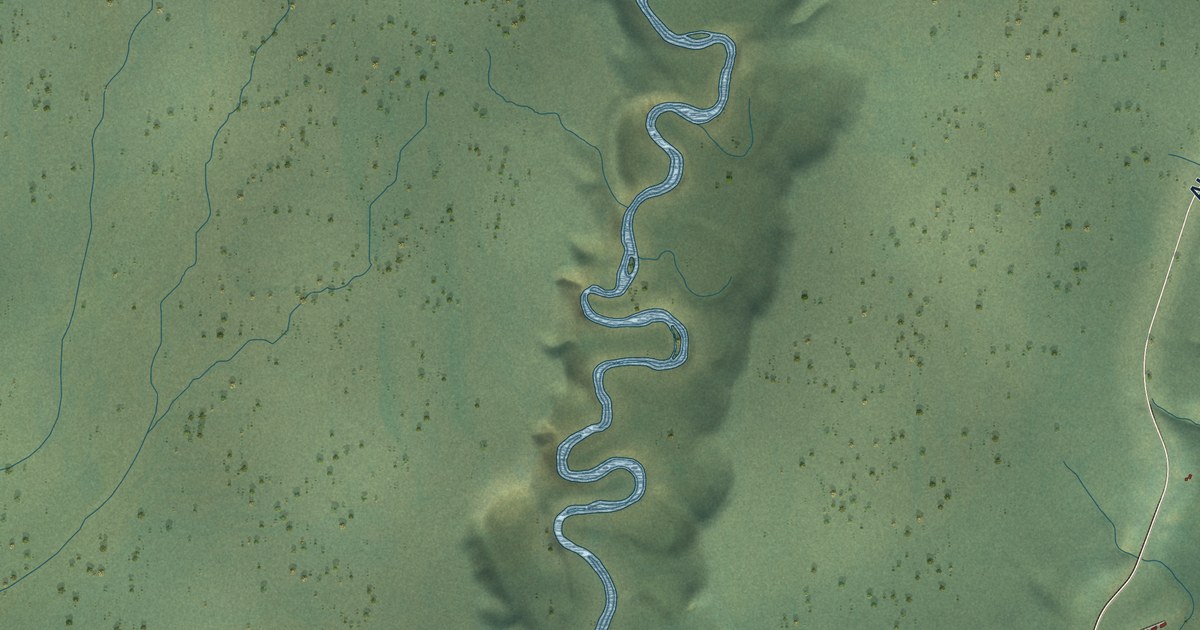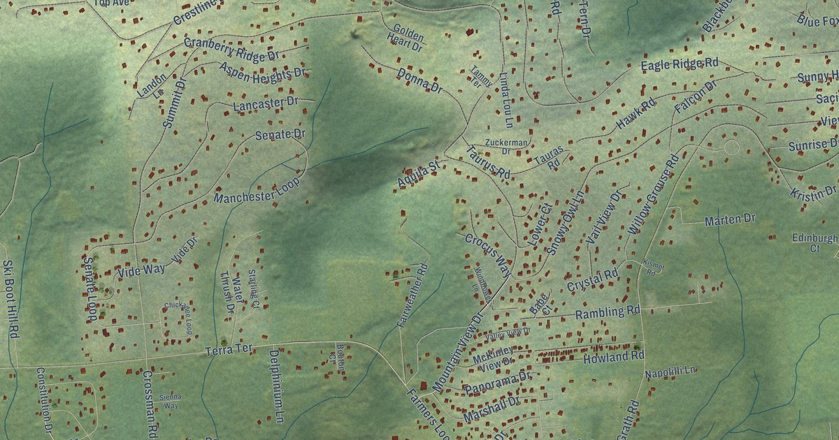
This beautifully detailed map of Farmers Loop, Alaska was created in 2026 using aerial imagery combined with modern topographical, census, street and landmark data. It’s a one-of-a-kind view of Farmers Loop that combines accurate data with a vintage aesthetic. The map shows every building in its true location, many of the roads carry their names, and the shaded topographic relief shows the shape of the land.
Explore an aerial view of Farmers Loop, Alaska
On the map you’ll find Goldstream Public Use Area, along with Steese Highway, New Steese Highway, Capital Drive, Pay Streak Drive, Mountain View Drive, Senate Loop, Old Steese Highway North, Farmers Loop Road, Skyline Drive, McGrath Road, Summit Drive, and more. Farmers Loop sits about 5 miles northeast of College, 5 miles north of Fairbanks and 5 miles southwest of Fox. If you look closely you can even find your house accurately drawn in its correct location. Zoom in on the preview to look for yours.
Take a closer look at the Farmers Loop map
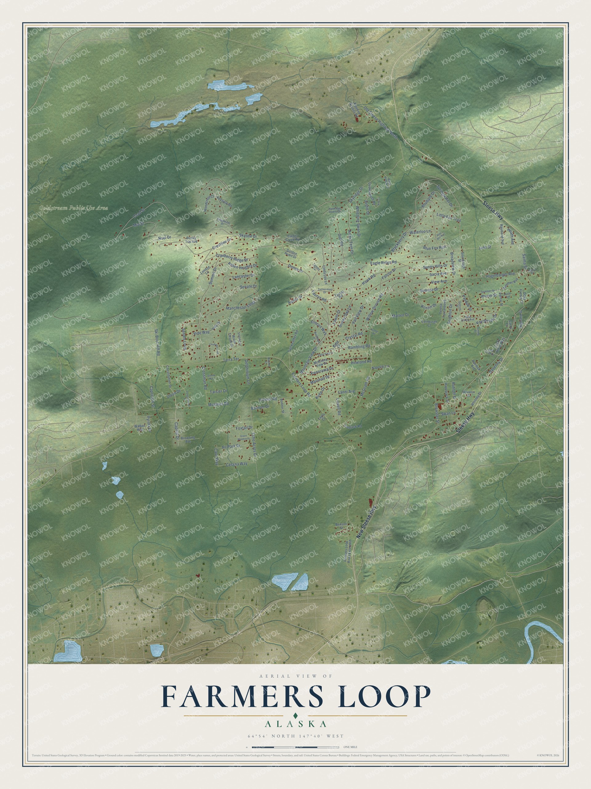
Names on this map
These names are printed on this map.
Places: Goldstream Public Use Area.
Streets and roads: Steese Highway, New Steese Highway, Capital Drive, Pay Streak Drive, Mountain View Drive, Senate Loop, Old Steese Highway North, Farmers Loop Road, Skyline Drive, McGrath Road, Summit Drive, Cranberry Ridge Drive.
More street names, A to Z
Air Park Drive, Aquila Street, Arctic Tern Drive, Aspen Heights Drive, Babe Court, Barnum Drive, Bear Den Run, Benson Street, Birch Hollow Court, Blackberry Drive, Blue Fox Run, Bonner Street, Bouton Court, Brewster Street, Brighton Drive, Broadview Drive, Browsing Avenue, Calder Creek Road, Capricorn Street, Carol Lane, Cavu Way, Cessna Way, Chad Street, Chickadee Loop, Congressional Drive, Constitution Drive, Crazy Horse Way, Crestline Drive, Crocus Way, Crossman Road, Crystal Road, Curry Street, Davenny Drive, Deep Freeze Court, Delphinium Lane, Division Street, Donna Drive, Eagle Ridge Road, Echo Acres Drive, Edinburgh Court, Emerald Street, Fairweather Road, Falcon Drive, Farmers Loop Road Extended, Fideler Road, Flapjack Road, Foxtail Drive, Foxview Road, Gold Claim Avenue, Golden Heart Drive, Golf Club Drive, Green Meadow Drive, Gull Road, Hagelbarger Avenue, Happyjack Street, Hawk Eye Downs Drive, Hawk Road, Heath Avenue, Highland Street, Howland Road, Jade Street, Justin Drive, Keep Drive, Kirk Circle, Kismet Road, Kristin Drive, Lancaster Drive, Landon Lane, Lanni Avenue, Layla Court, Linda Lou Lane, Little Fox Trail, Lowell Road, Lower Court, Manchester Loop, Marshall Drive, Marten Drive, McKinley View Drive, Mia Street, Mushers Road, Napolilli Lane, Noel Drive, Pannick Avenue, Panorama Drive, Pasque Street, Pipeline Access Road, Pyrola Drive, Quakenbush Road, Rambling Road, Raymond Avenue, Rhubarb Drive, Ridgemont Drive, Rocky Top Avenue, Rohloff Street, Sacia Avenue, Saima Street, Senate Drive, Sienna Way, Ski Boot Hill Road, Skyridge Drive, Snowy Owl Lane, Sourdough Street, Springwater Drive, Starling Court, Summer Avenue, Summer Street, Sunny Hills Drive, Sunrise Drive, Swan Lane, Tammy Terrace, Tarsier Drive, Tauras Road, Taurus Road, Teresa Turnaround, Terra Terrace, Tommy Street, Union Drive, Vail View Drive, Valley View Drive, Vernal Street, Vide Drive, Vide Way, View Avenue, Walker Way, Waterloo Lane, Water Thrush Drive, Whistling Swan Drive, Whitney Drive, Willow Grouse Road, Windflower Lane, Winter Avenue, Winter Street, Woodcrest Court, Zuckerman Drive.
See it on a wall
The Farmers Loop map as a framed print. Swipe for more.


This beautifully detailed map of Farmers Loop makes an attractive addition to your office, library, or den, and it can even be used to teach children the geography and history of the area. It also makes a great gift for anyone who grew up in Farmers Loop or moved away. When you’re done exploring, click here to get your copy of the Farmers Loop map.