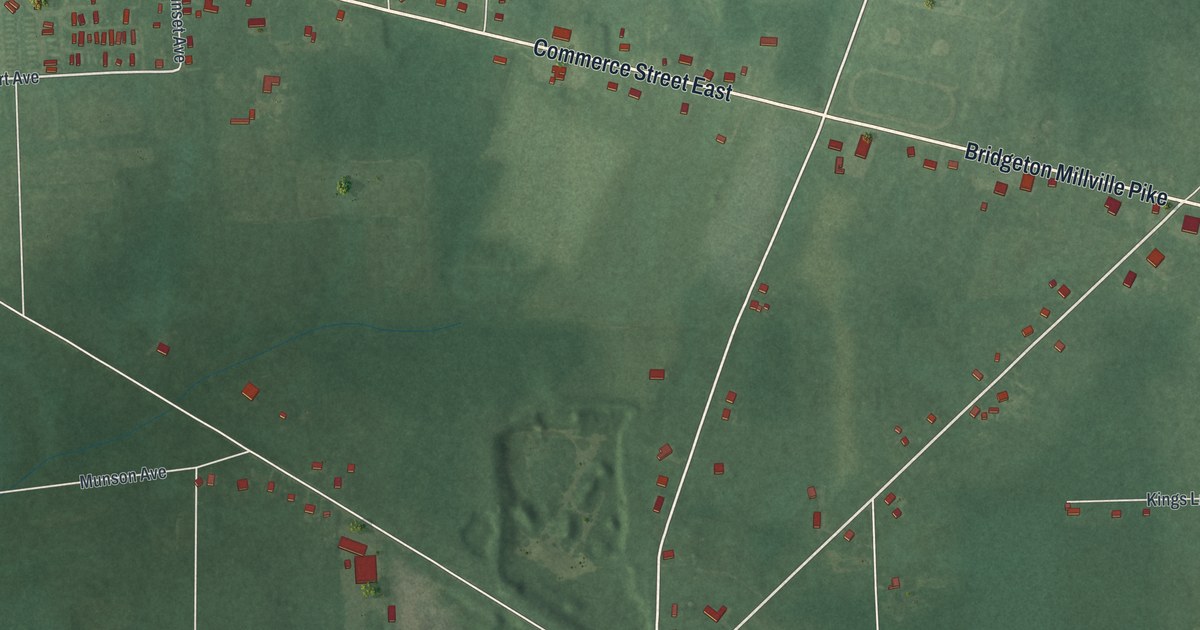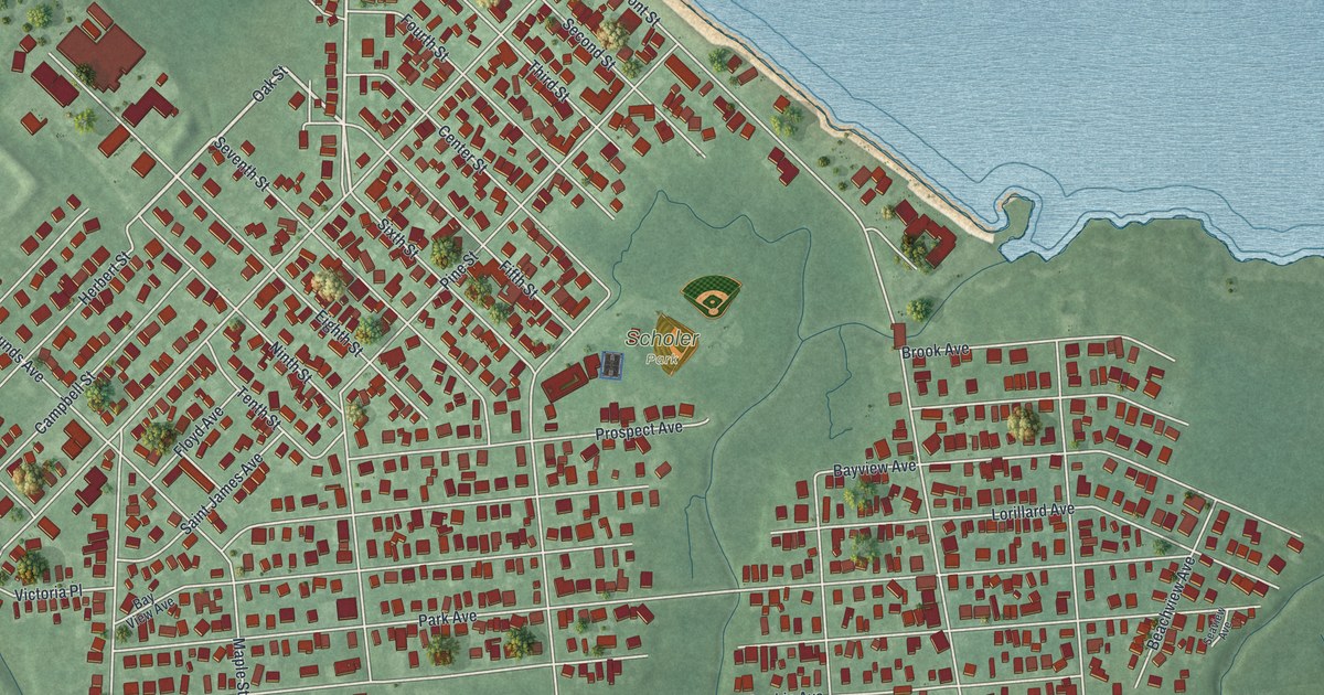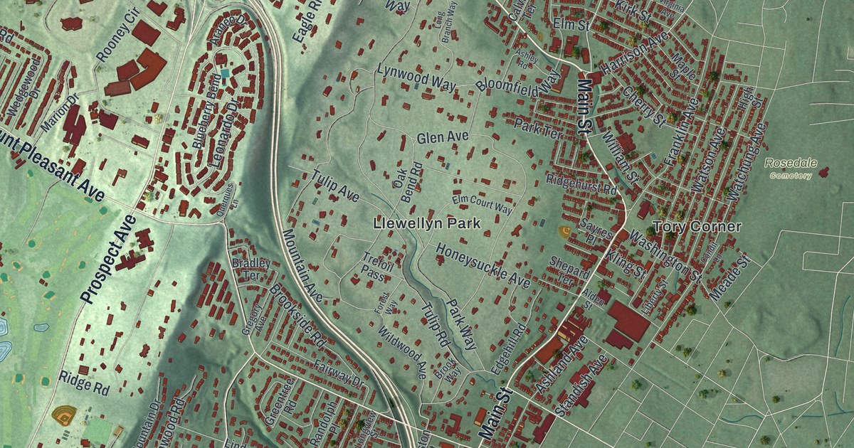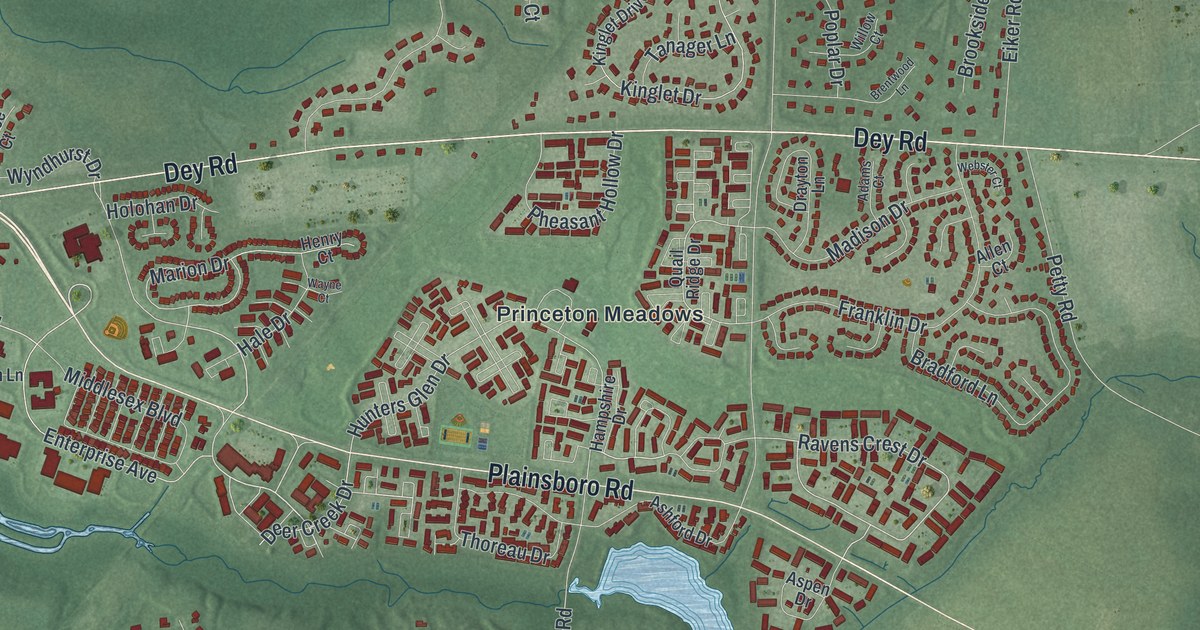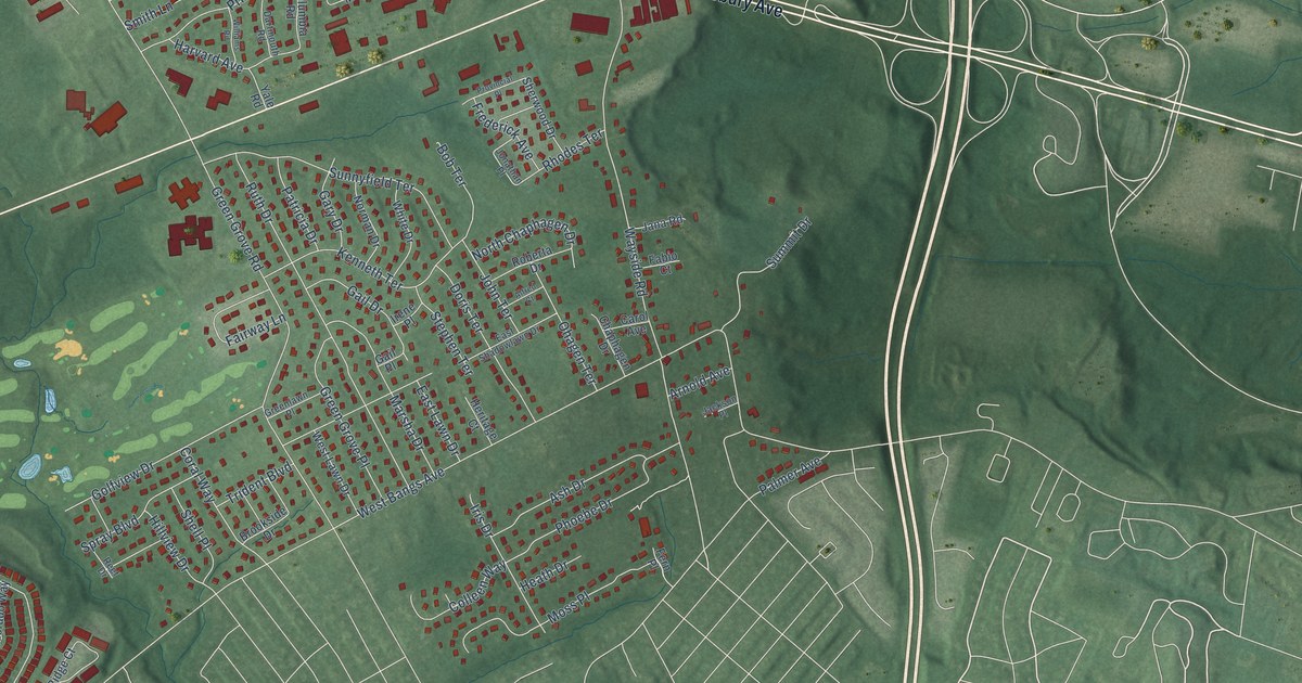
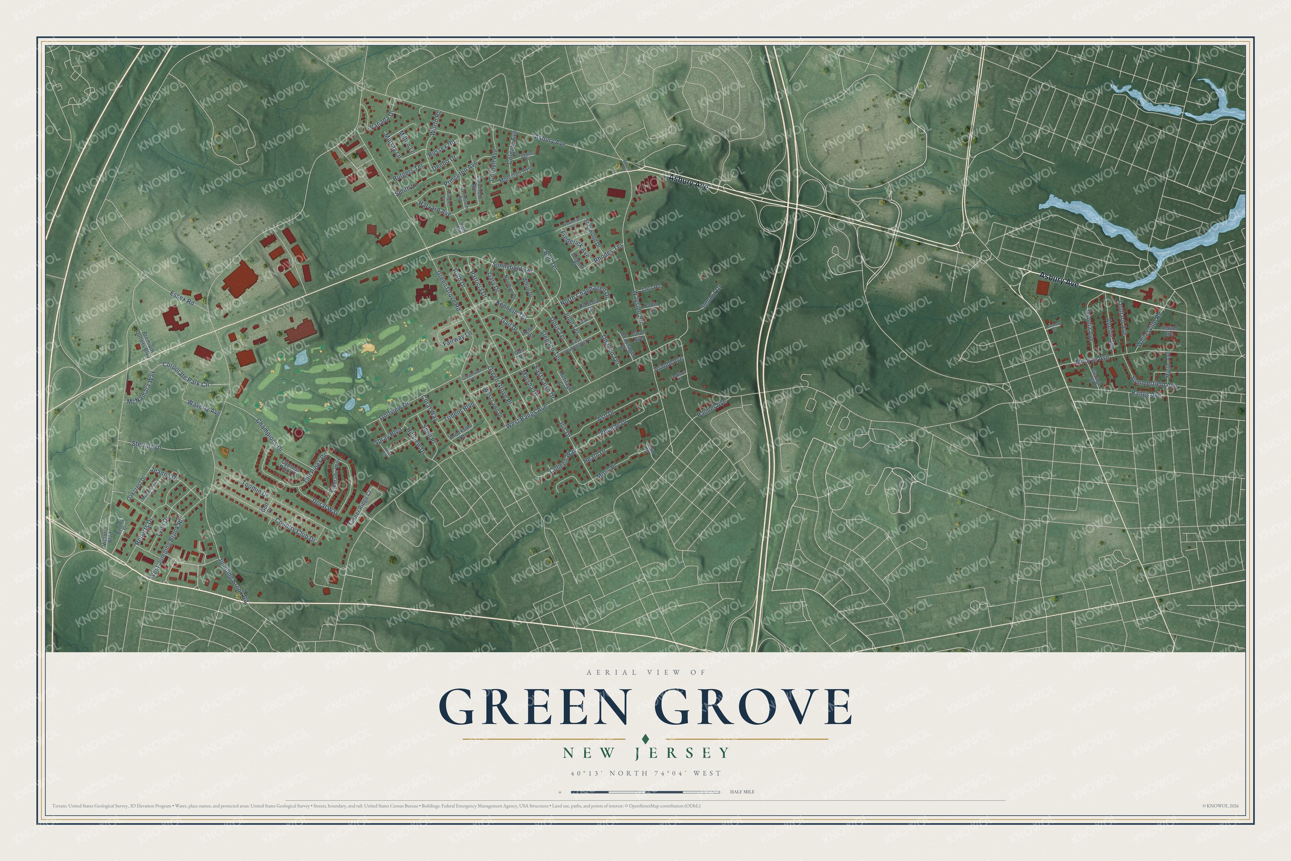
This beautifully detailed map of Green Grove, New Jersey was created in 2026 using aerial imagery combined with modern topographical, census, street and landmark data. It’s a one-of-a-kind view of Green Grove that combines accurate data with a vintage aesthetic. The map shows every building in its true location, many of the roads carry their names, and the shaded topographic relief shows the shape of the land.
Explore an aerial view of Green Grove, New Jersey
On the map you’ll find Asbury Avenue, West Bangs Avenue, Jumping Brook Road, Green Grove Road, Wayside Road, Tall Pines Drive, Ruth Drive, Waverly Avenue, Sunnyfield Terrace, Country Club Drive, Toomin Drive, Monroe Avenue, and more. If you look closely you can even find your house accurately drawn in its correct location. Zoom in on the preview to look for yours.
Did You Know?
From Internet Archive: "The other villages of Howell township are: Lower Squankum, founded in 1820; West Farms, or New Bargaintown, 1830; Blue Ball, about 1800; Bethel, 1872; and Jerseyville, or Green Grove, before 1840."
Green Grove is a community in Monmouth County.
Take a closer look at the Green Grove map
Names on this map
These names are printed on this map.
Streets and roads: Asbury Avenue, West Bangs Avenue, Jumping Brook Road, Green Grove Road, Wayside Road, Tall Pines Drive, Ruth Drive, Waverly Avenue, Sunnyfield Terrace, Country Club Drive, Toomin Drive, Monroe Avenue.
More street names, A to Z
Alfred Court, Anelve Avenue, Arnold Avenue, Ash Drive, Bangs Avenue, Bentley Court, Bob Terrace, Bowne Road, Brookside Drive, Carol Avenue, Champions Drive, Chaphagen Drive, Colgate Avenue, Colleen Way, Columbia Road, Coral Way, Cornell Avenue, Corporate Park Circle, Cortland Street, Cypress Point Drive, Dartmouth Road, Denbo Drive, Doral Way, Doris Terrace, Douglas Drive, East Lawn Drive, East Shadowlawn Drive, Eldorado Way, Essex Road, Fabio Court, Fairway Lane, Fern Place, Frederick Avenue, Gail Drive, Gail Place, Gary Drive, George Street, Golf Court, Golfview Drive, Green Grove Place, Greenlawn Place, Harvard Avenue, Heath Drive, Heritage Court, Hillview Drive, Irene Place, Iris Drive, Jackson Place, Jana Road, Jeanne Drive, John Terrace, Jonathan Place, Kenneth Terrace, Leonard Avenue, Lynn Drive, Maplecrest Drive, Marsha Drive, McNamara Way, Milton Lane, Montclair Avenue, Moss Place, Murray Lane, Myrtle Avenue, Norman Drive, North Chaphagen Drive, Oakcrest Drive, Ohagen Terrace, Oxonia Avenue, Palmer Avenue, Patricia Drive, Phoebe Drive, Premium Outlets Boulevard, Princeton Avenue, Provincial Place, Reef Drive, Rhodes Terrace, Roberta Drive, Roberts Drive, Russex Road, Rutgers Terrace, Sewall Avenue, Shell Place, Sherwood Drive, Smith Lane, Spray Boulevard, Stephen Terrace, Sterling Drive, Summerfield Avenue, Summit Drive, Timber Ridge Court, Trident Boulevard, Vanada Drive, Victoria Boulevard, West Jumping Brook Road, West Lawn Drive, White Drive, Whitesville Road, Williams Road, Worth Road, Yale Road.
See it on a wall
The Green Grove map as a framed print. Swipe for more.


This beautifully detailed map of Green Grove makes an attractive addition to your office, library, or den, and it can even be used to teach children the geography and history of the area. It also makes a great gift for anyone with Green Grove roots. When you’re done exploring, click here to get your copy of the Green Grove map.