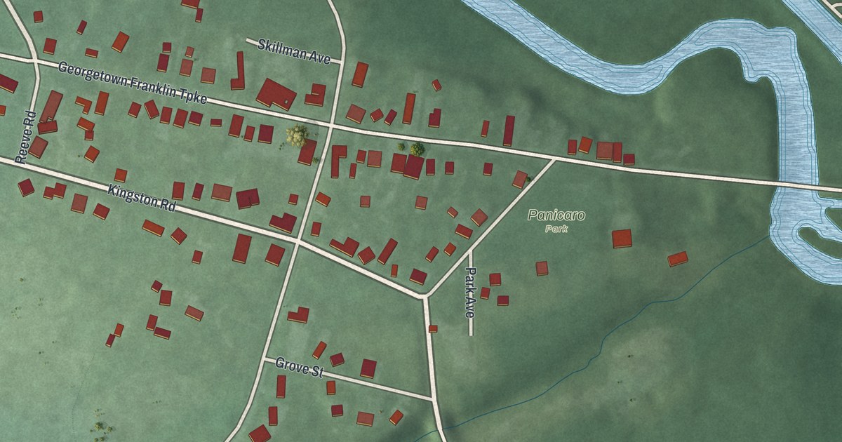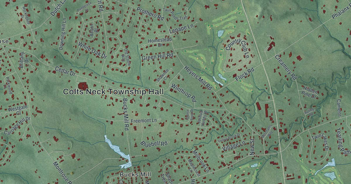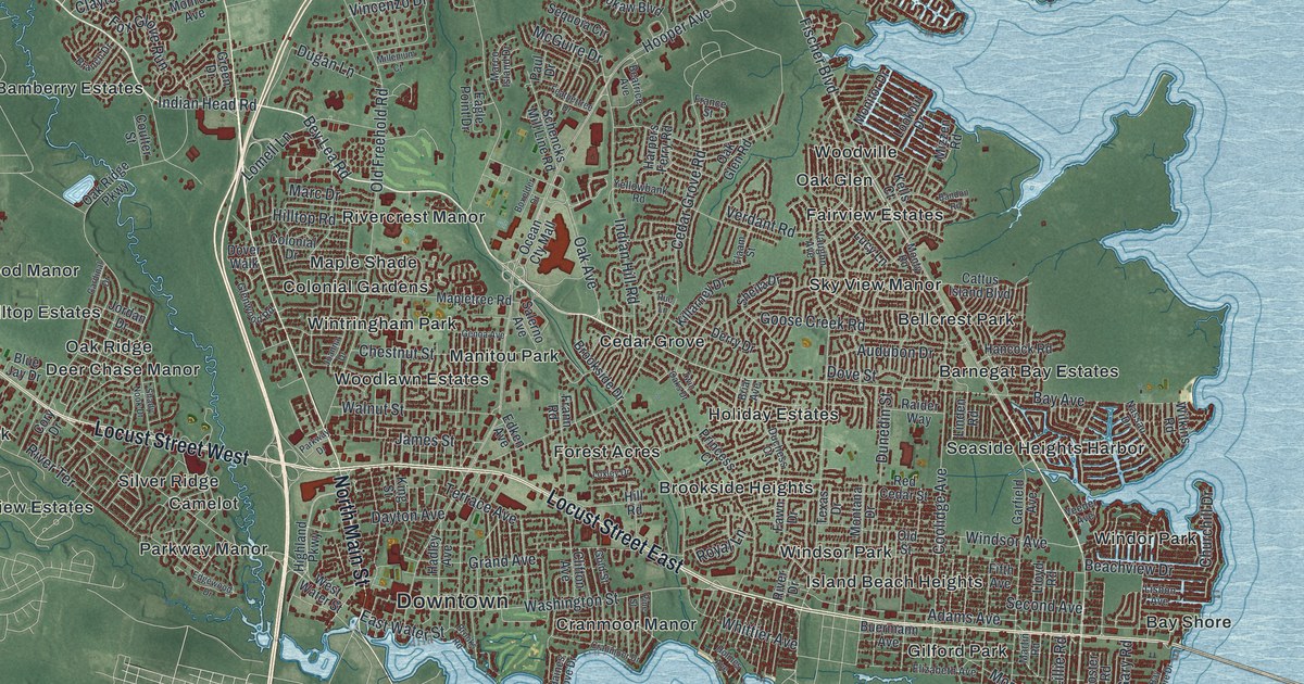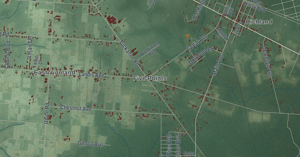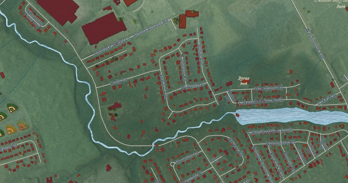
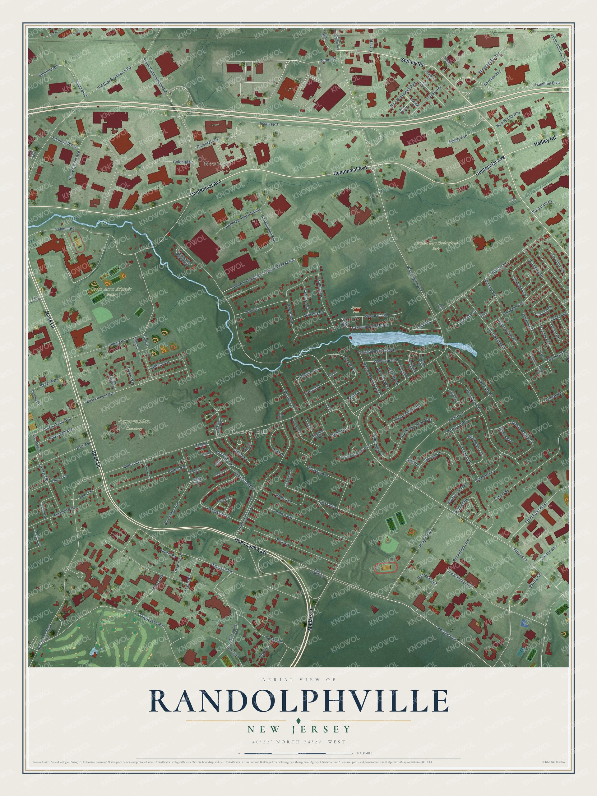
This beautifully detailed map of Randolphville, New Jersey was created in 2026 using aerial imagery combined with modern topographical, census, street and landmark data. It’s a one-of-a-kind view of Randolphville that combines accurate data with a vintage aesthetic. The map shows every building in its true location, many of the roads carry their names, and the shaded topographic relief shows the shape of the land.
Explore an aerial view of Randolphville, New Jersey
On the map you’ll find Newtown, Society Hill, Green Acres Athletic Fields, Piscataway Ecological Park, Resurrection Cemetery, and Byrne Park, along with Metlars Lane, Hoes Lane East, Centennial Avenue, Hoes Lane, Stelton Road, Hadley Road, and more. If you look closely you can even find your house accurately drawn in its correct location. Zoom in on the preview to look for yours.
Take a closer look at the Randolphville map
Names on this map
These names are printed on this map.
Places: Newtown, Society Hill, Green Acres Athletic Fields, Piscataway Ecological Park, Resurrection Cemetery and Byrne Park.
Streets and roads: Metlars Lane, Hoes Lane East, Centennial Avenue, Hoes Lane, Stelton Road, Hadley Road, Bevier Road, Davidson Road, Hospital Road, Zirkel Avenue, Shevchenko Avenue, South Randolphville Road.
More street names, A to Z
13th Street, 14th Street, Abbot Court, Access Road, Allison Road, Ambrose Valley Lane, Angela Court, Avenue East, Bartholomew Road, Bayberry Close, Bedford Court, Behmer Road, Bella Drive, Bell Street, Berkshire Court, Berrue Circle, Berwick Way, Beverly Road, Blue Ridge Avenue, Bohdan Street, Boxwood Road, Brett Road, Brian Court, Brookside Road, Buckingham Drive, Buena Vista Avenue, Camelot Court, Cameron Road, Canterbury Court, Carpenter Road, Carriage Drive, Castle Pointe Boulevard, Chesterfield Drive, Chester Way, Chippenham Court, Clara Drive, Clarendon Place, Colonial Drive, Colson Court, Constitution Avenue, Corporate Court, Corporate Place, Corporate Place South, Coventry Circle, Darby Lane, Dell Road, Devon Drive, Drake Lane, Dunbar Avenue, East Lincoln Avenue, East Park Place, Ethel Road West, Evergreen Court, Ewing Drive, Farragut Drive, Franklin Street, Franko Avenue, Frelinghuysen Road, Fuller Avenue, Gardner Avenue, Gates Avenue, Gilman Drive, Glenn Place, Gordon Road, Gramercy Drive, Haines Avenue, Hamilton Boulevard, Hampshire Court, Hanson Avenue, Harwick Court, Hidden Hollow Court, High Point Way, Hoes Lane West, Holly Lane, Honors Plaza, Hunt Drive, Independence Court, Jarrard Street, Jefferson Drive, Johanna Court, Joyce Kilmer Road, Karnell Drive, Lake Park Drive, Lakeside Drive North, Lakeside Drive South, Lakeview Road, Lake Way, Lancaster Court, Madison Avenue, Manor Boulevard, Marvin Lane, Matthew Court, Michelle Court, Milton Place, Mimosa Lane, Mitchell Avenue, Morris Avenue, Morris Lane, Morris Road, Nelson Avenue, Nelson Avenue South, New Brunswick Avenue, New England Avenue, New World Way, Old New Brunswick Road, Orchard Street, Orris Avenue, Palisade Avenue, Park Access Road, Park Avenue, Piluso Way, Poplar Road, Prescott Place, Quick Way, Redbud Road, Revere Road, Rockefeller Road, Rohatyn Street, Roma Boulevard, Roosevelt Avenue, Saint Michael Street, Saint Olga Place, Saratoga Court, School Access Road, School Street, Seeley Avenue, Seward Avenue, Sidney Road, Skiles Avenue, Smoke Tree Close, Snowdrift Drive, South Clinton Avenue, South Washington Avenue, Springfield Avenue, Stanford Road, Sterling Drive, Sturbridge Drive, Sturbridge Drive East, Sturbridge Drive West, Summershade Circle, Sunburst Lane, Surrey Lane, Suskin Place, Suttie Avenue, Suttons Lane, Taylor Road, Thames Avenue, Thornton Lane, Titsworth Place, Toolan Street, Turner Place, Vocisano Court, Walker Lane, Washington Avenue, Whispering Pines Way, Wickley Avenue, Wilkens Drive, Wills Way, Winterberry Circle, Wood Lake Drive, Woodland Road, Wyndham Way, Wyndmere Road, Yorktown Drive.
See it on a wall
The Randolphville map as a framed print. Swipe for more.


This beautifully detailed map of Randolphville makes an attractive addition to your office, library, or den, and it can even be used to teach children the geography and history of the area. It also makes a great gift for anyone who grew up in Randolphville or moved away. When you’re done exploring, click here to get your copy of the Randolphville map.