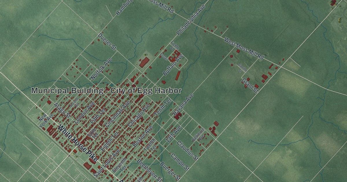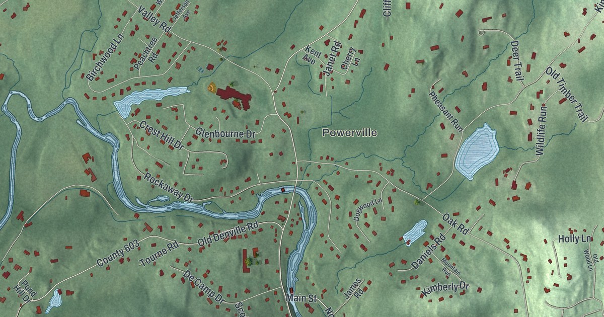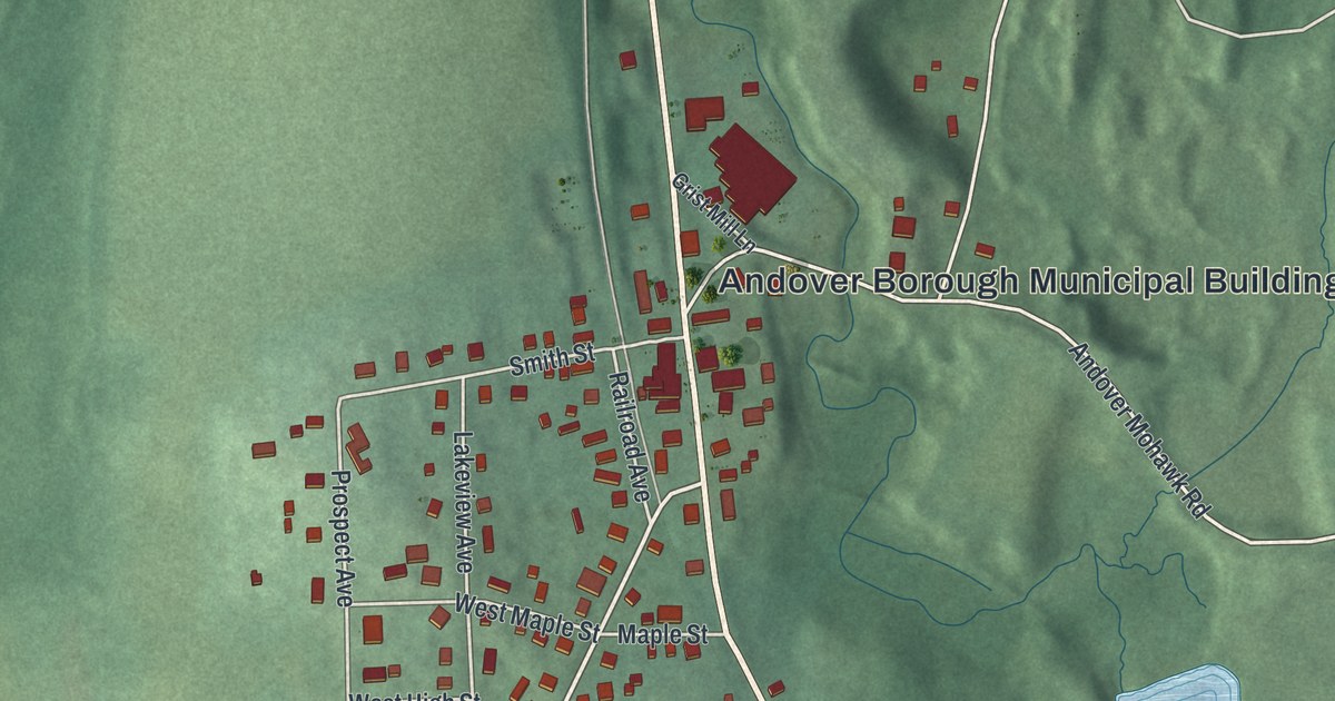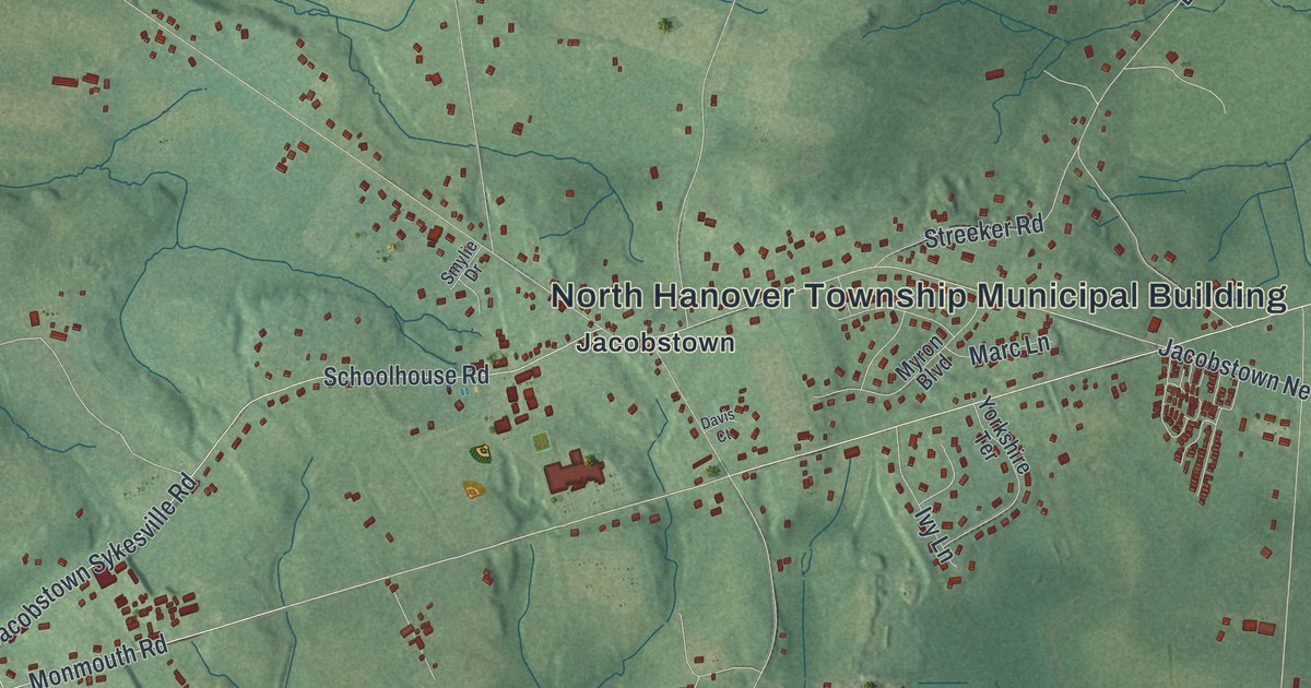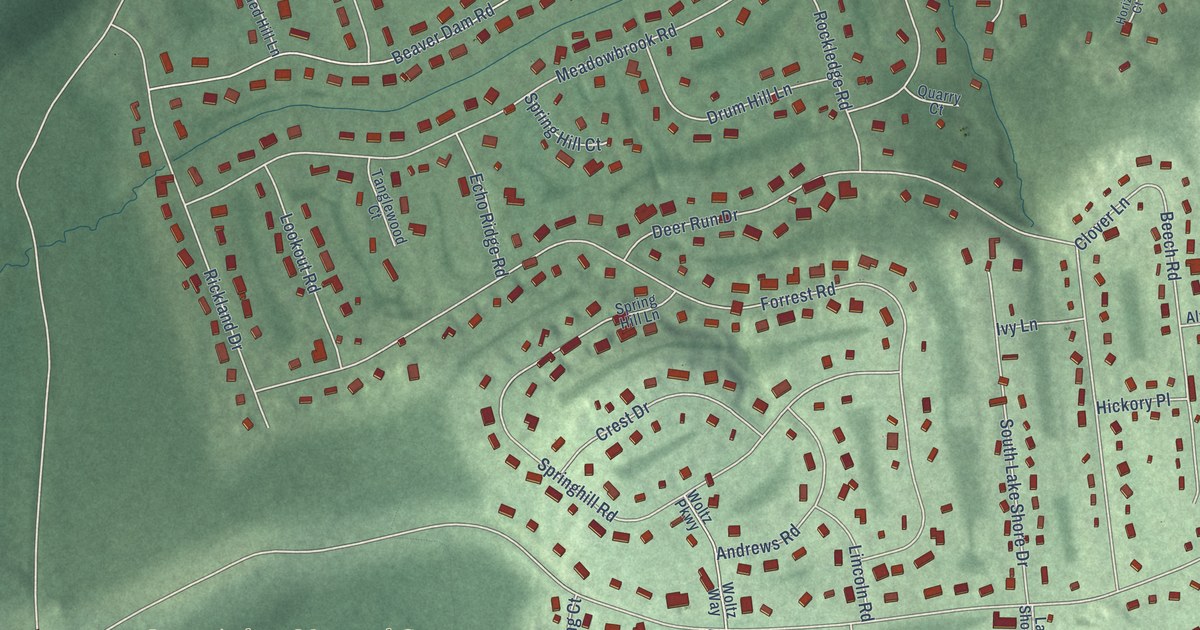
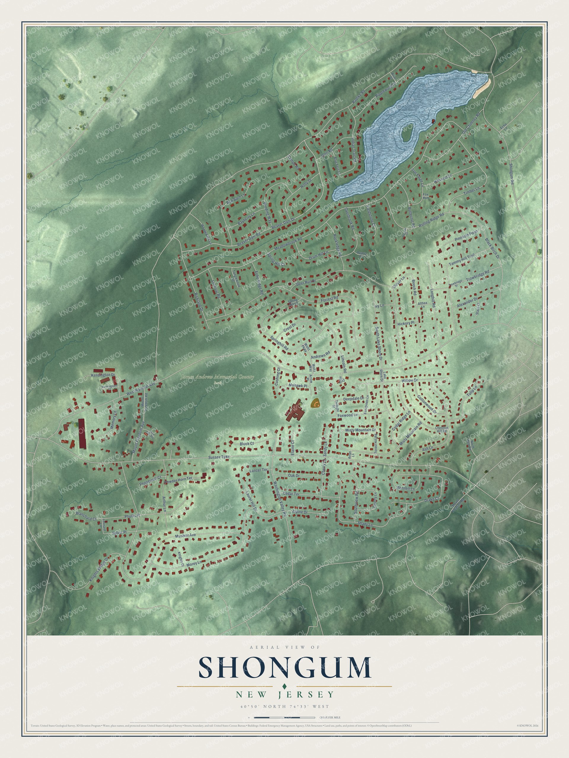
This beautifully detailed map of Shongum, New Jersey was created in 2026 using aerial imagery combined with modern topographical, census, street and landmark data. It’s a one-of-a-kind view of Shongum that combines accurate data with a vintage aesthetic. The map shows every building in its true location, many of the roads carry their names, and the shaded topographic relief shows the shape of the land.
Explore an aerial view of Shongum, New Jersey
On the map you’ll find James Andrew Memorial County Park, along with West Hanover Avenue, Sussex Turnpike, Meadowbrook Road, Musiker Avenue, Radtke Road, Forrest Road, Beaver Dam Drive, Beaver Dam Road, Springhill Road, Morey Lane, South Lake Shore Drive, and more. If you look closely you can even find your house accurately drawn in its correct location. Zoom in on the preview to look for yours.
Did You Know?
From Internet Archive: "Deacon John Huntington died about 1782 or 3 as no records of the church show, his children remained at Shongum until about 1800."
Shongum is a community in Morris County.
Take a closer look at the Shongum map
Names on this map
These names are printed on this map.
Places: James Andrew Memorial County Park.
Streets and roads: West Hanover Avenue, Sussex Turnpike, Meadowbrook Road, Musiker Avenue, Radtke Road, Forrest Road, Beaver Dam Drive, Beaver Dam Road, Springhill Road, Morey Lane, South Lake Shore Drive, Shady Lane.
More street names, A to Z
Alexander Drive, Alpine Drive, Althea Lane, Andrews Road, Arlyn Lane, Arrow Place, Arthur Lane, Ash Lane, Bayberry Lane, Beech Road, Black Birch Drive, Blanchard Court, Block Court, Blue Fern Lane, Bonnell Lane, Briar Court, Buckingham Court, Butternut Road, Campo Road, Cedar Ridge Lane, Cedar Terrace, Cherry Lane, Chestnut Hill Road, Clover Lane, Cottonwood Drive, Country Lane, Crest Drive, Cushing Court, Deepdale Drive, Deer Run Drive, Drake Court, Drum Hill Lane, Echo Lane, Echo Ridge Road, Elaine Court, Evergreen Lane, Fieldstone Court, Forest Glen Way, Forest Hill Road, Fox Run, Foxwood Lane, Glen Road, Hickory Place, Hillcrest Drive, Holly Drive, Horizon Court, Indian Trail Road, Iron Forge Lane, Ivy Lane, Kensington Drive, Knights Bridge Drive, Knights Court, Lake Shore Drive, Lancer Terrace, Laurel Hill Drive, Leonard Lane, Lincoln Road, Longhill Road, Lookout Road, Lynn Drive, Memory Lane, Misty Mountain Drive, Misty Mountain Road, Mohawk Place, Mount Freedom Avenue, Mount Freedom Road, Mount Pleasant Road, North Star Road, Oak Drive, Old Chimney Road, Overbrook Road, Peppermill Court, Phyllis Place, Pinnacle Point, Powder Horn Terrace, Quarry Court, Red Barn Lane, Rickland Drive, Ripplewood Drive, Rockledge Road, Rolling Ridge Road, Sandy Lane, Shongum Road, Southview Road, Spring Hill Court, Spring Hill Lane, Stacy Court, Sylvia Place, Tammy Hill Trail, Tanglewood Court, Timber Lane, Trowbridge Road, Trowbridge Street, Tulip Lane, Twilight Street, Washington Valley Road, Willow Drive, Winding Way, Woltz Parkway, Woltz Way, Wooded Hill Lane.
See it on a wall
The Shongum map as a framed print. Swipe for more.


This beautifully detailed map of Shongum makes an attractive addition to your office, library, or den, and it can even be used to teach children the geography and history of the area. It also makes a great gift for anyone with Shongum roots. When you’re done exploring, click here to get your copy of the Shongum map.