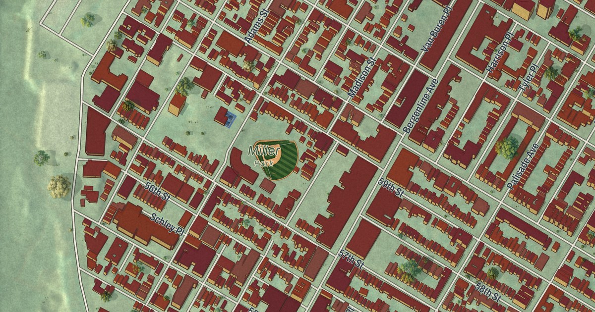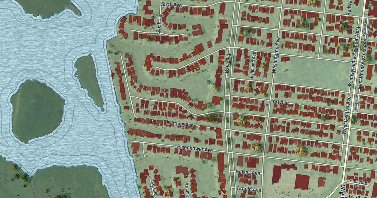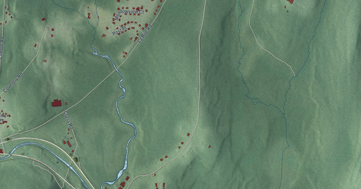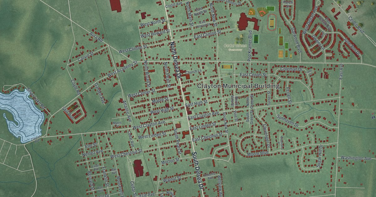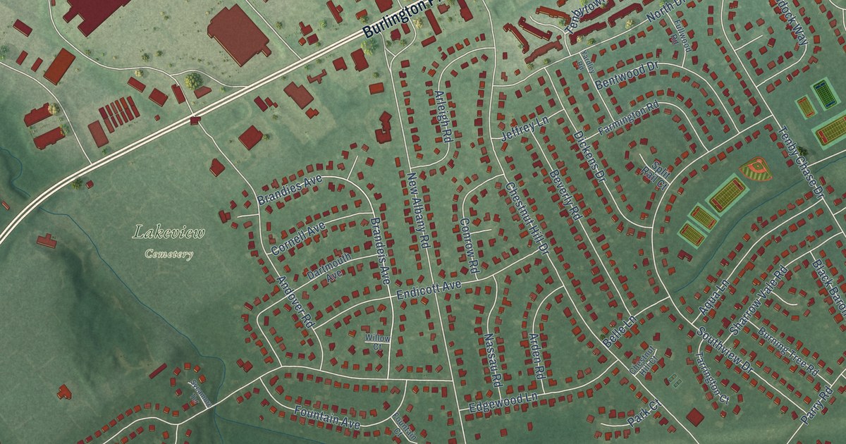
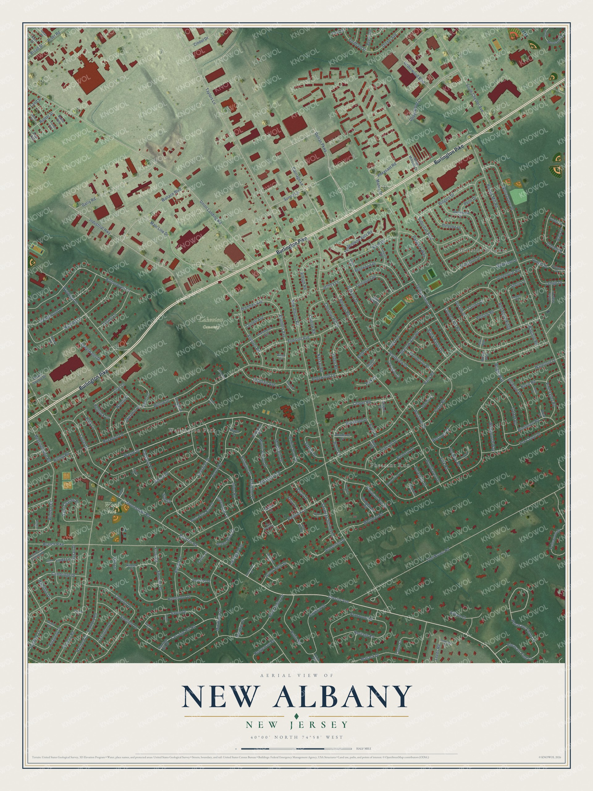
This beautifully detailed map of New Albany, New Jersey was created in 2026 using aerial imagery combined with modern topographical, census, street and landmark data. It’s a one-of-a-kind view of New Albany that combines accurate data with a vintage aesthetic. The map shows every building in its true location, many of the roads carry their names, and the shaded topographic relief shows the shape of the land.
Explore an aerial view of New Albany, New Jersey
On the map you’ll find Lakeview Cemetery, Wood Park, Pheasant Run, Wellington Park, and Millside Heights, along with Burlington Pike, Chester Avenue, Wayne Drive, Tenbytowne Apts Road, Cambridge Drive, Pheasant Road, Greenbriar Lane, and more. If you look closely you can even find your house accurately drawn in its correct location. Zoom in on the preview to look for yours.
Did You Know?
From Internet Archive: "In 1840 he assumed charge of the church at Ballston Spa, and in 1844 was installed over the First Church of New Albany, Ind."
New Albany is a community in Burlington County.
Take a closer look at the New Albany map
Names on this map
These names are printed on this map.
Places: Lakeview Cemetery, Wood Park, Pheasant Run, Wellington Park and Millside Heights.
Streets and roads: Burlington Pike, Chester Avenue, Wayne Drive, Tenbytowne Apts Road, Cambridge Drive, Pheasant Road, Greenbriar Lane, Riverton Road, New Albany Road, Parry Road, Waterford Drive, Union Landing Road.
More street names, A to Z
Allison Court, Andover Road, Antietam Road, Aqua Lane, Arbor Road, Arden Road, Arleigh Road, Armstrong Drive, Army Drive, Ascot Drive, Barberry Drive, Barton Court, Baylor Avenue, Belle Lane, Bentwood Drive, Bergen Drive, Berkshire Drive, Beverly Road, Black Baron Drive, Boxwood Lane, Branch Pike, Brandeis Avenue, Brandies Avenue, Brigham Court, Broad Street, Burgundy Drive, Burning Tree Road, Burrell Lane, Buttonwood Lane, Cambridge Court, Cardinal Drive, Carraige Hill Road, Carriage Hill Drive, Carriage Lane, Carriage Way, Chapel Court, Chapel Road, Chatham Court, Chestnut Hill Court, Chestnut Hill Drive, Chestnut Lane, Chestnut Place, Cindel Drive, Clover Drive, Clover Square Drive, Coles Court, Concord Drive, Conrow Road, Cooper Court, Coopers Kill Road, Cornell Avenue, Cornell Drive, Creekview Drive, Dartmouth Avenue, Dartmouth Drive, Davis Avenue, Deerfield Court, Delran Parkway, Devon Court, Devon Road, Dickens Drive, Dorado Drive, Douglas Court, Drew Court, Drexel Avenue, Easton Lane, Edgewood Lane, Emerson Drive, Endicott Avenue, Erlington Drive, Erlington Place, Farmington Road, Fellswood Drive, Fenwick Court, Fenwick Road, Fern Avenue, Fernwood Place, Fernwood Road, Fordham Street, Forge Road, Fountain Avenue, Fountain Court, Fox Chase Drive, Foxcroft Drive, Frost Road, Fullwood Road, Garry Road, Georgetown Road, Georgian Drive, Grant Lane, Green Briar Court, Greenbriar Road, Haines Mill Road, Hamilton Drive, Harraway Lane, Hartford Drive, Hartford Road, Hedgeman Road, Hemlock Lane, Henry Street, Heritage Road, Hilltop Road, Holly Lane, Holyoke Drive, Howard Street, Hunterdon Drive, Hunter Drive, Hunter Street, Industrial Highway, Inman Street, Ivystone Lane, James Street, Jeffrey Lane, Jersey Belle Drive, Kelso Lane, Kern Street, Kevin Road, Kilmer Court, Land Street, Laurel Court, Laurel Drive, Leeds Road, Lehigh Drive, Lexington Drive, Lilac Lane, Linda Court, Linda Lane, Locust Lane, Magnolia Court, Main Line Drive, Manor Drive, Matlack Drive, Meadowview Drive, Meetinghouse Road, Middlesex Drive, Monticello Drive, Moorestown Road, Moreland Drive, Mount Vernon Drive, Nassau Road, North Drive, North Fork Landing Road, North Millside Drive, North Riding Drive, Notre Dame Drive, Ohio State Drive, Oriole Way, Oxford Road, Paddock Lane, Paddock Way, Park Court, Pear Avenue, Pelham Road, Penn Drive, Pheasant Field Lane, Pheasant Fields Lane, Pheasant Run Drive, Pine Valley Road, Plantation Drive, Pomona Court, Pomona Road, Princeton Drive, Purdue Drive, Randle Court, Raven Road, Red Fox Road, Red Stone Ridge, River Road, Robin Road, Rutgers Drive, Saint Charles Place, Salem Drive, Saratoga Springs Drive, Sawmill Court, Saxony Drive, Sharrow Vale Road, Sheffield Drive, Shelly Lane, Somerset Drive, Sophia, South Chester Avenue, Southview Drive, Split Rail Court, Stag Turn, Stevens Drive, Suburban Boulevard, Suburban Drive, Surrey Lane, Susan Drive, Sussex Drive, Sweetwater Drive, Sycamore Terrace, Tait Lane, Tarlton Court, Tarrington Court, Taylors Lane, Tenby Chase Drive, Timothy Court, Tom Brown Road, Turner Avenue, Underwood Boulevard, Underwood Court, Wallace Boulevard, Walnut Place, Waterford Court, Wayland Road, Wedgewood Drive, Wellfleet Road, Westover Court, Westover Drive, West White Birch Drive, Whitebirch Drive, Whitemarsh Way, Willow Court, Willow Drive, Willow Way, Winding Brook Drive, Winding Lane, Windmoor Road, Windsor Court, Windsor Drive, Woodhaven Drive, Wood Lane, Woodlane Court, Woodlane Drive, Wright Way, Wynwood Drive, Yansick Drive, Yardley Road, York Road, Your Host Circle.
See it on a wall
The New Albany map as a framed print. Swipe for more.


This beautifully detailed map of New Albany makes an attractive addition to your office, library, or den, and it can even be used to teach children the geography and history of the area. It also makes a great gift for anyone who grew up in New Albany or moved away. When you’re done exploring, click here to get your copy of the New Albany map.