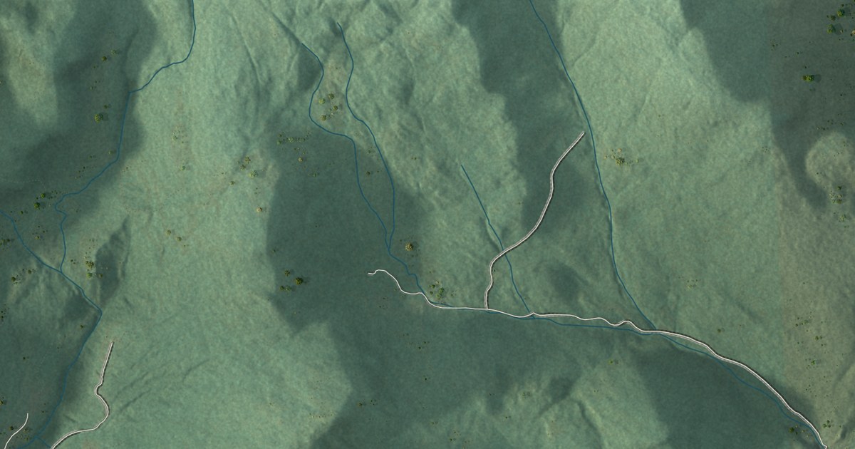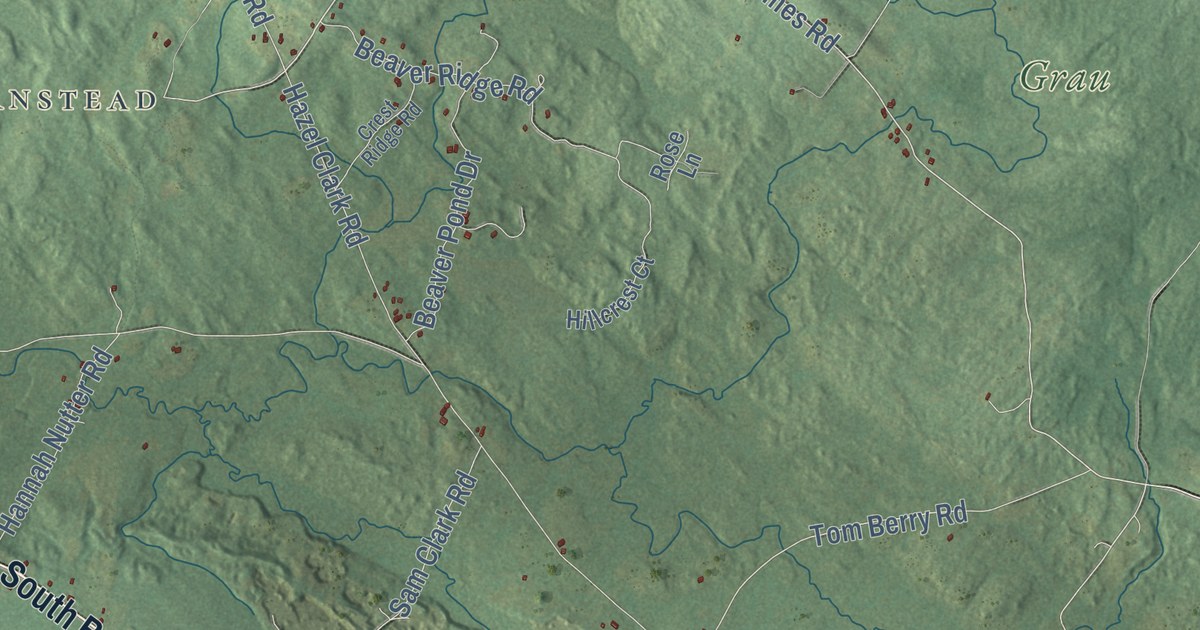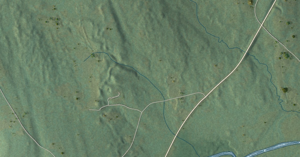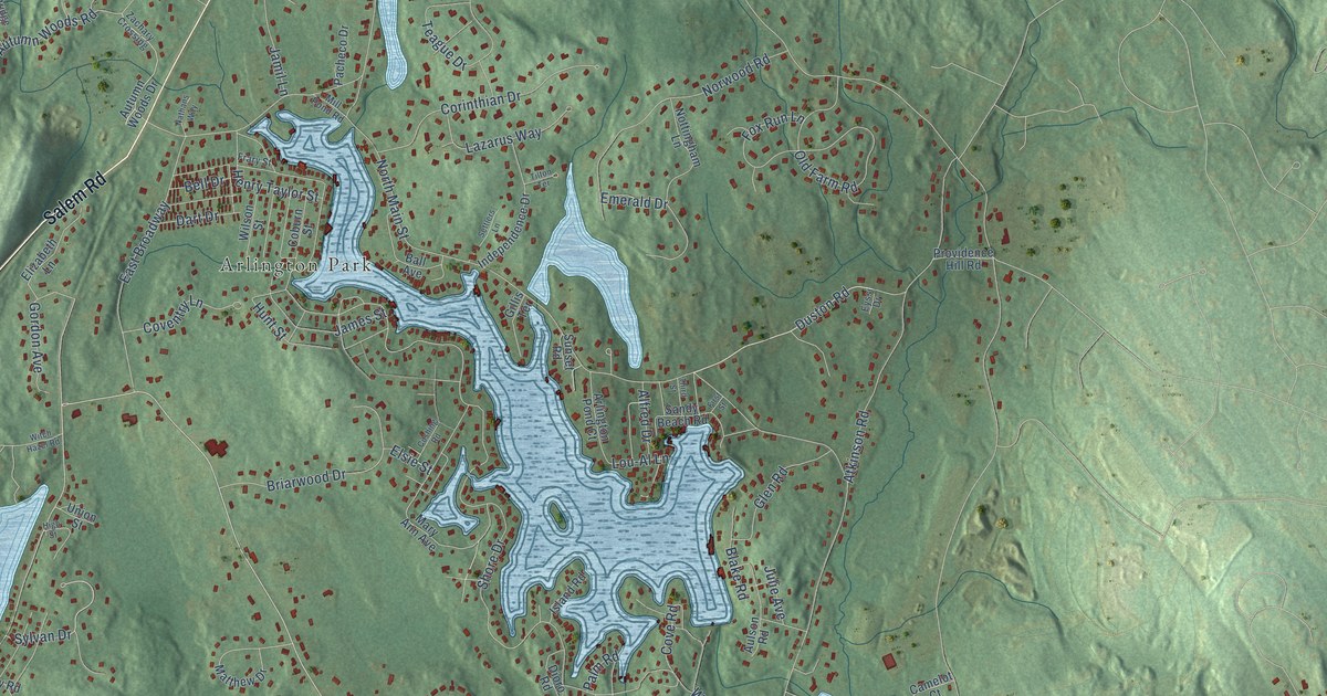
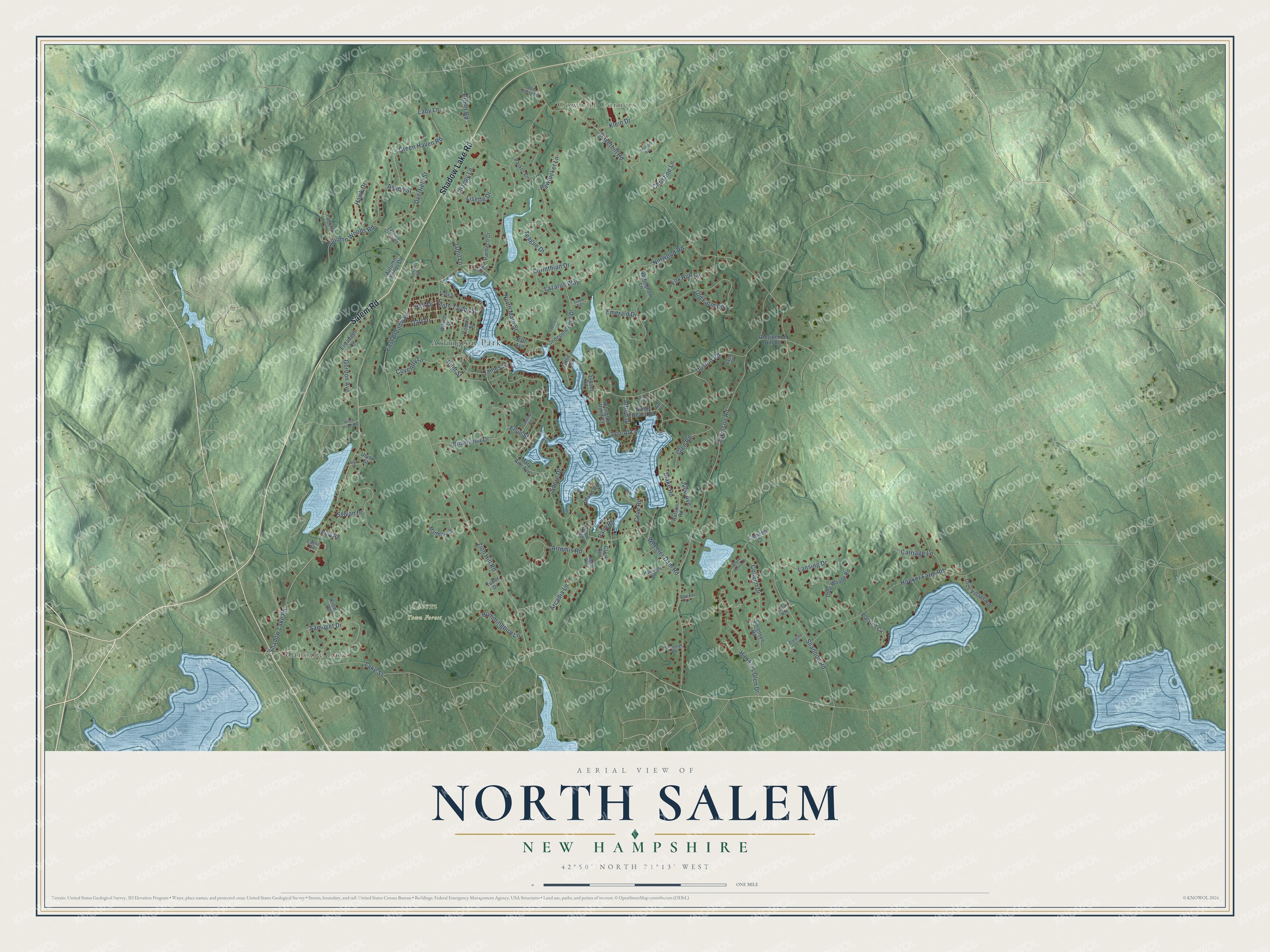
This beautifully detailed map of North Salem, New Hampshire was created in 2026 using aerial imagery combined with modern topographical, census, street and landmark data. It’s a one-of-a-kind view of North Salem that combines accurate data with a vintage aesthetic. The map shows every building in its true location, many of the roads carry their names, and the shaded topographic relief shows the shape of the land.
Explore an aerial view of North Salem, New Hampshire
On the map you’ll find Cowbell Corners, Salem Town Forest, Arlington Park, and Canobie Lake, along with Salem Road, Shadow Lake Road, Duston Road, Zion Hill Road, Green Haven Road, Elsie Street, North Main Street, Shore Drive, and more. If you look closely you can even find your house accurately drawn in its correct location. Zoom in on the preview to look for yours.
Did You Know?
From Internet Archive: "The next postoffice established in town was that at North Salem, in 1831."
North Salem is a community in Rockingham County.
Take a closer look at the North Salem map
Names on this map
These names are printed on this map.
Places: Cowbell Corners, Salem Town Forest, Arlington Park and Canobie Lake.
Streets and roads: Salem Road, Shadow Lake Road, Duston Road, Zion Hill Road, Green Haven Road, Elsie Street, North Main Street, Shore Drive, Shannon Road, Haverhill Road, East Broadway, Hooker Farm Road.
More street names, A to Z
Alfred Drive, Aqua Way, Arcadia Lane, Arlington Pond Court, Artemis Road, Aspen Street, Atkinson Road, Aulson Road, Autumn Woods Drive, Autumn Woods Road, Ball Avenue, Bell Drive, Blake Road, Briarwood Drive, Brook Hollow Drive, Camelot Court, Carriage Lane, Castle Road, Chappy Lane, Christine Lane, Clark Avenue, Coburn Street, Colleen Drive, Corinthian Drive, Coventry Lane, Cove Road, Cushing Road, Dart Drive, Deerfield Street, Dioro Road, Dublin Way, Elizabeth Lane, Emerald Drive, Ermer Road, Eyssi Drive, First Street, Fox Run Lane, Frary Street, Galway Lane, Gillis Terrace, Glen Road, Gordon Avenue, Hamilton Lane, Hawk Drive, Hawkins Glen Drive, Henry Taylor Street, High Street, Hitty Road, Hummingbird Lane, Hunt Street, Independence Drive, Island Road, James Street, Jamil Lane, Jennings Road, Julie Avenue, Kiowa Road, Klein Drive, Lady Lane, Lake Street, Lansing Drive, Lazarus Way, Lisette Drive, Lou-Al Lane, Mary Ann Avenue, Matthew Drive, Mill Pond Road, Nathans Way, Norwood Road, Nottingham Lane, Old Derry Road, Olde Village Road, Olde Woode Road, Old Farm Road, Pacheco Drive, Palm Road, Parker Circle, Partridge Circle, Pawtucket Lane, Plaisted Circle, Providence Hill Road, Samoset Drive, Sandy Beach Road, Settlers Lane, Sorensen Road, Spicket Lane, Sunset Road, Sylvan Drive, Teague Drive, Theodore Avenue, Third Street, Tilton Terrace, Tudor Drive, Union Street, Wheeler Dam Road, Wilson Street, Witch Hazel Road, Zachary Crossing.
See it on a wall
The North Salem map as a framed print. Swipe for more.


This beautifully detailed map of North Salem makes an attractive addition to your office, library, or den, and it can even be used to teach children the geography and history of the area. It also makes a great gift for anyone with North Salem roots. When you’re done exploring, click here to get your copy of the North Salem map.