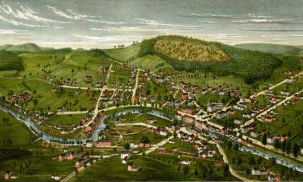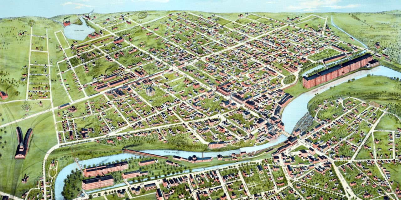
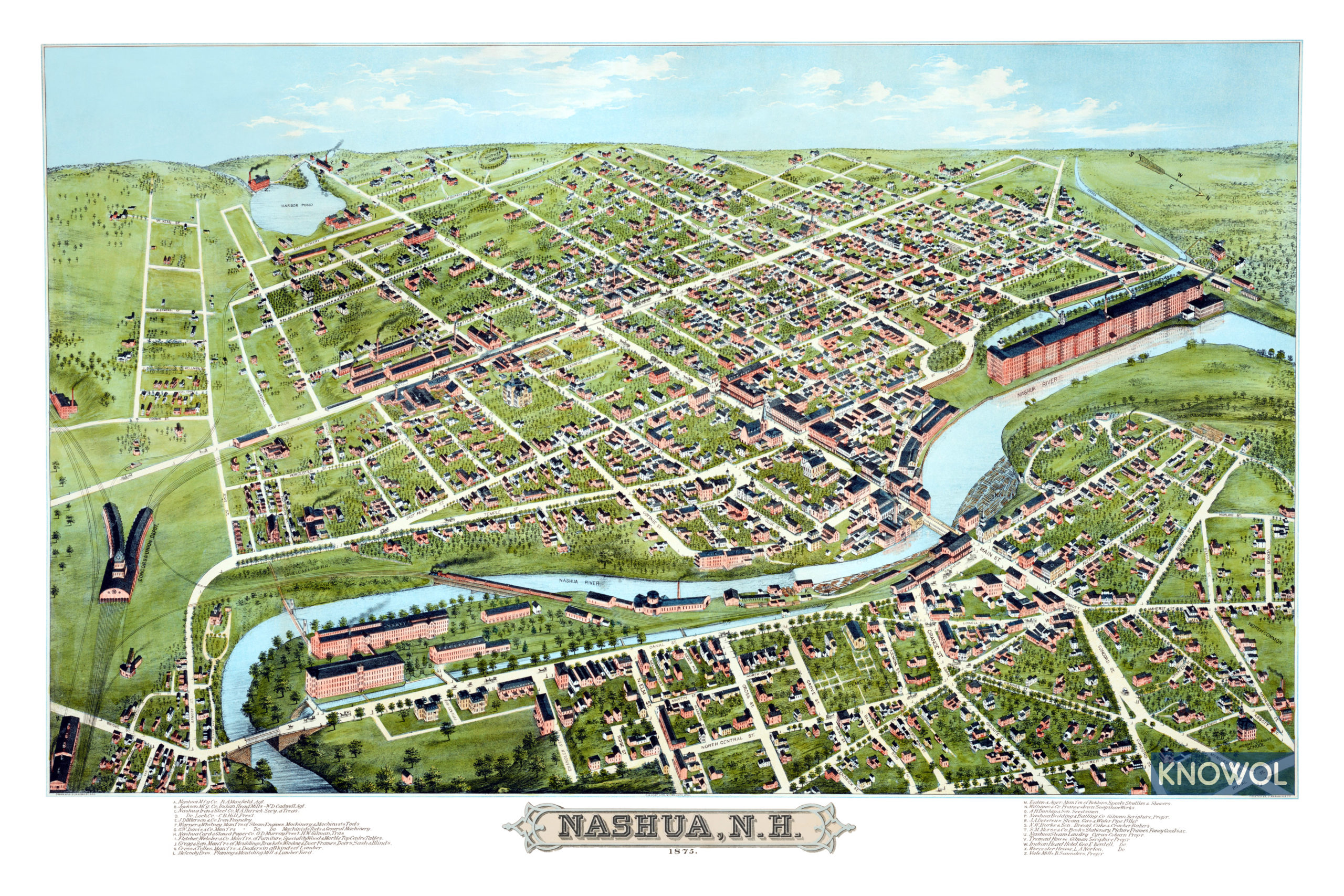
This map of Nashua, New Hampshire was created in 1875 by H.H. Bailey, a prominent 19th century map maker. The map shows a detailed bird’s eye view of Nashua as it was, including street names and old landmarks.
In 1842 the town split in two for eleven years following a dispute concerning the land around the Nashua River. During the separation, the northern area (today “French Hill”) called itself “Nashville“, while the southern part kept the name Nashua. The two sides reconciled in 1853 and united to charter the “city of Nashua”.
Landmarks on the map include Nashua Manufacturing Company, Nashua Iron & Steel Company, Warner & Whitney Steam Engines, Nashua Bedding & Bathing Company, Nashua Steam Laundry, Indian Head Hotel, and more.
This historic map of Nashua, NH has been restored by KNOWOL. Reproductions of the map are available here.
Click here to see Nashua, New Hampshire in 1875
This map of Nashua will make an attractive addition to your office, library, or den and can even be used to teach children the geography and history of the area. When you’re done exploring, click here to get your copy.