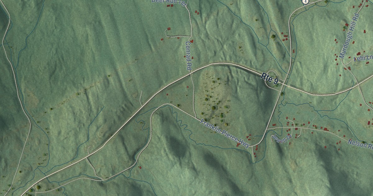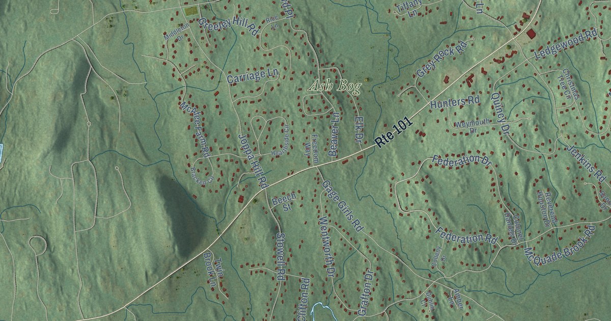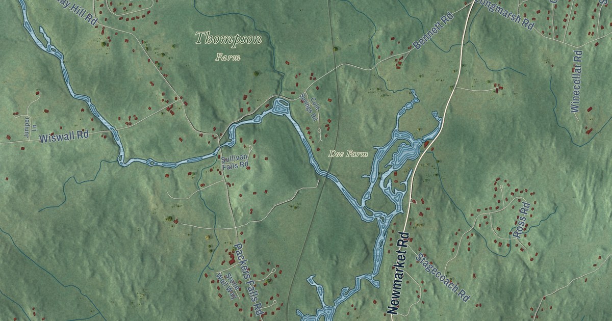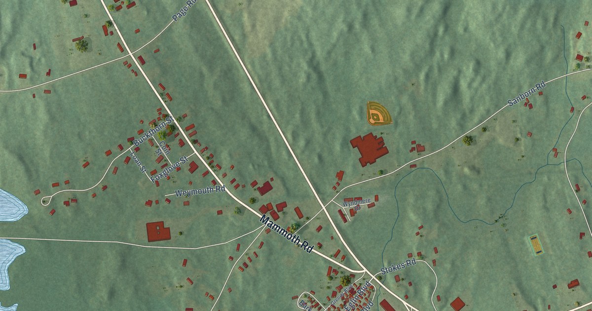
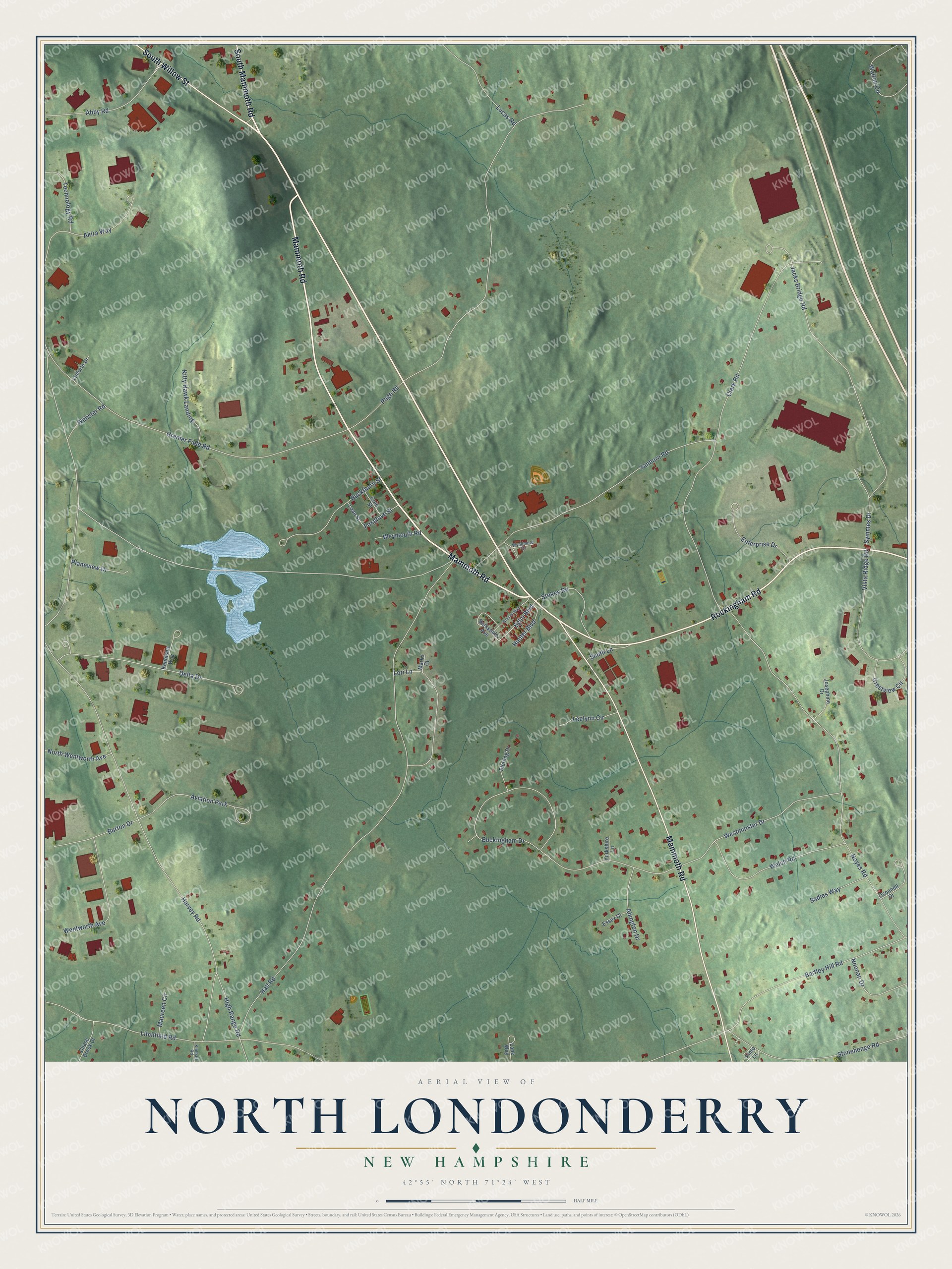
This beautifully detailed map of North Londonderry, New Hampshire was created in 2026 using aerial imagery combined with modern topographical, census, street and landmark data. It’s a one-of-a-kind view of North Londonderry that combines accurate data with a vintage aesthetic. The map shows every building in its true location, many of the roads carry their names, and the shaded topographic relief shows the shape of the land.
Explore an aerial view of North Londonderry, New Hampshire
On the map you’ll find South Willow Street, Mammoth Road, Rockingham Road, South Mammoth Road, Eglin Boulevard, Technology Road, Abby Road, Symmes Drive, Harvey Road, Hall Road, Page Road, Clark Road, and more. If you look closely you can even find your house accurately drawn in its correct location. Zoom in on the preview to look for yours.
Did You Know?
From Internet Archive: "Margaret, dau. of John and Elizabeth (Dinsmoor) Hopkins, the emigrants of Windham, and settled in North Londonderry. 5."
North Londonderry is a community in Rockingham County.
Take a closer look at the North Londonderry map
Names on this map
These names are printed on this map.
Places: Aviation Park.
Streets and roads: South Willow Street, Mammoth Road, Rockingham Road, South Mammoth Road, Eglin Boulevard, Technology Road, Abby Road, Symmes Drive, Harvey Road, Hall Road, Page Road, Clark Road.
More street names, A to Z
Abington Drive, Akira Way, Barksdale Avenue, Bartley Hill Road, Buckingham Drive, Buckthorn Street, Burton Drive, Chase Brook Drive, Coin Street, Crestview Circle, Delta Drive, Enterprise Drive, Essex Court, Foxglove Street, Grenier Boulevard, Grenier Field Road, High Range Road, Hunter Boulevard, Jacks Bridge Road, Josephine Drive, Kennison Way, Kimball Road, Kitty Hawk Landing, Lane Way, Leelynn Circle, Linforth Drive, Litchfield Road, Loan Street, Lori Lane, Lucas Road, Marks Court, Maureen Circle, Noonan Drive, North Wentworth Avenue, Noyes Road, Oconnell Drive, Pinto Lane, Planeview Drive, Sadies Way, Sanborn Road, Smith Lane, Sterling Drive, Stokes Road, Stonehenge Road, Vista Ridge Road, Walton Circle, Webster Road, Welch Road, Wentworth Avenue, Westminster Drive, Weymouth Road, Wyndmere Drive, Yorkshire Lane.
See it on a wall
The North Londonderry map as a framed print. Swipe for more.


This beautifully detailed map of North Londonderry makes an attractive addition to your office, library, or den, and it can even be used to teach children the geography and history of the area. It also makes a great gift for anyone who grew up in North Londonderry or moved away. When you’re done exploring, click here to get your copy of the North Londonderry map.