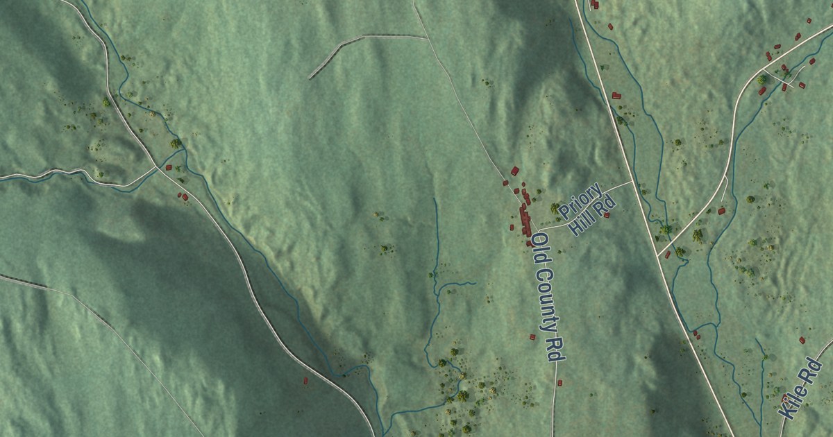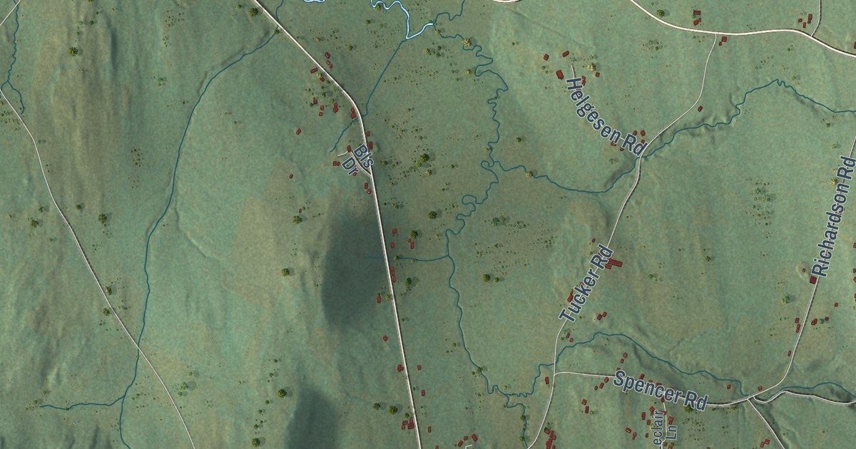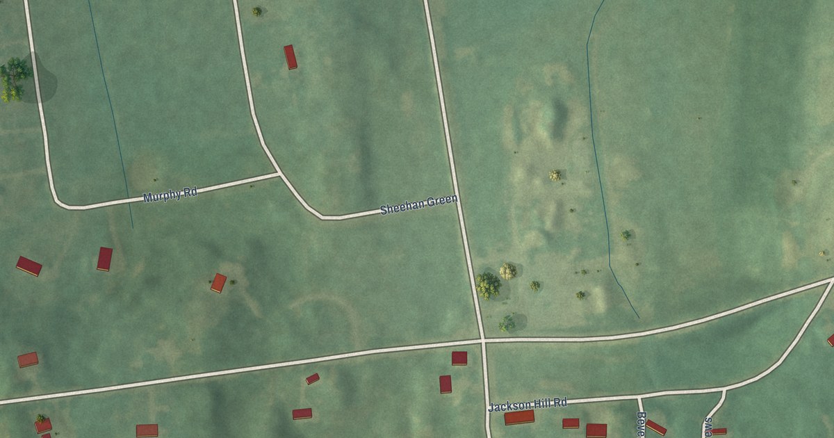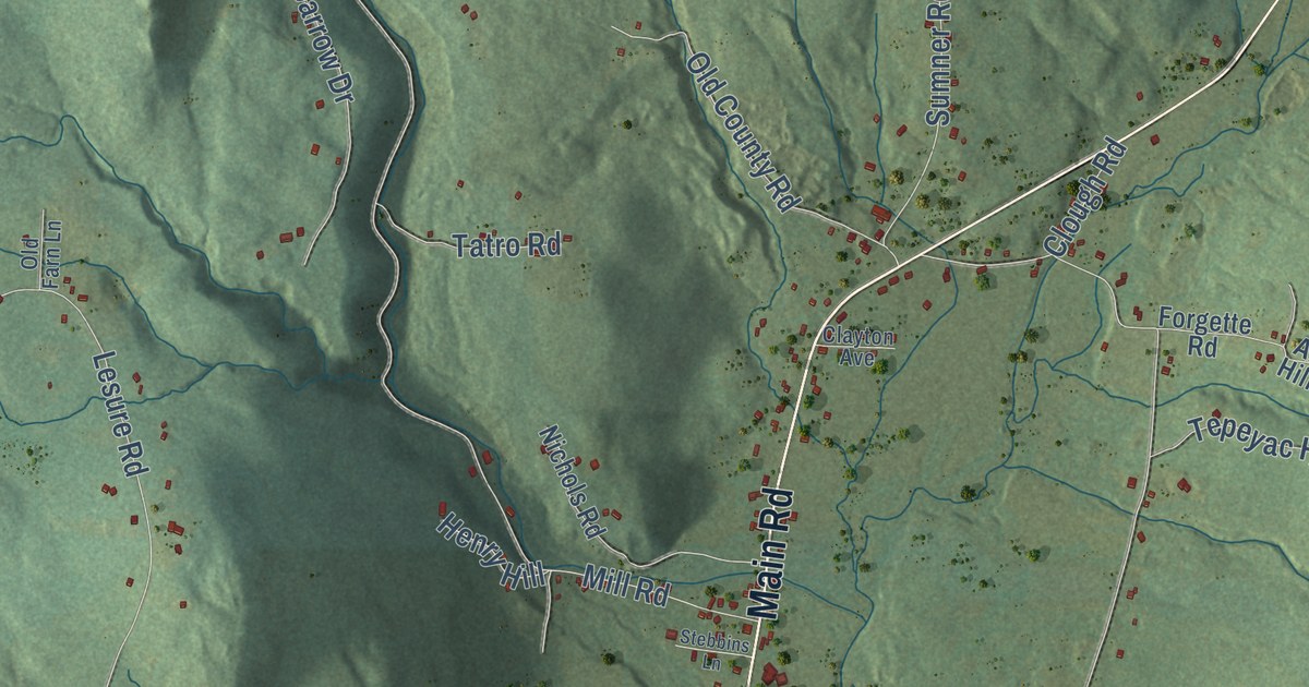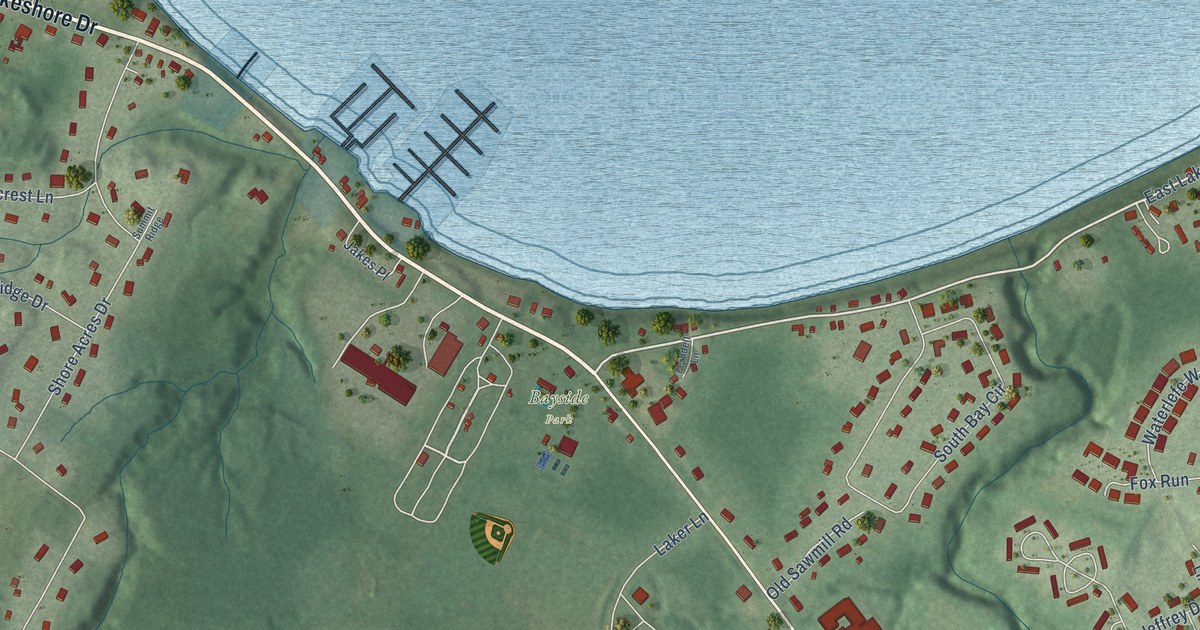
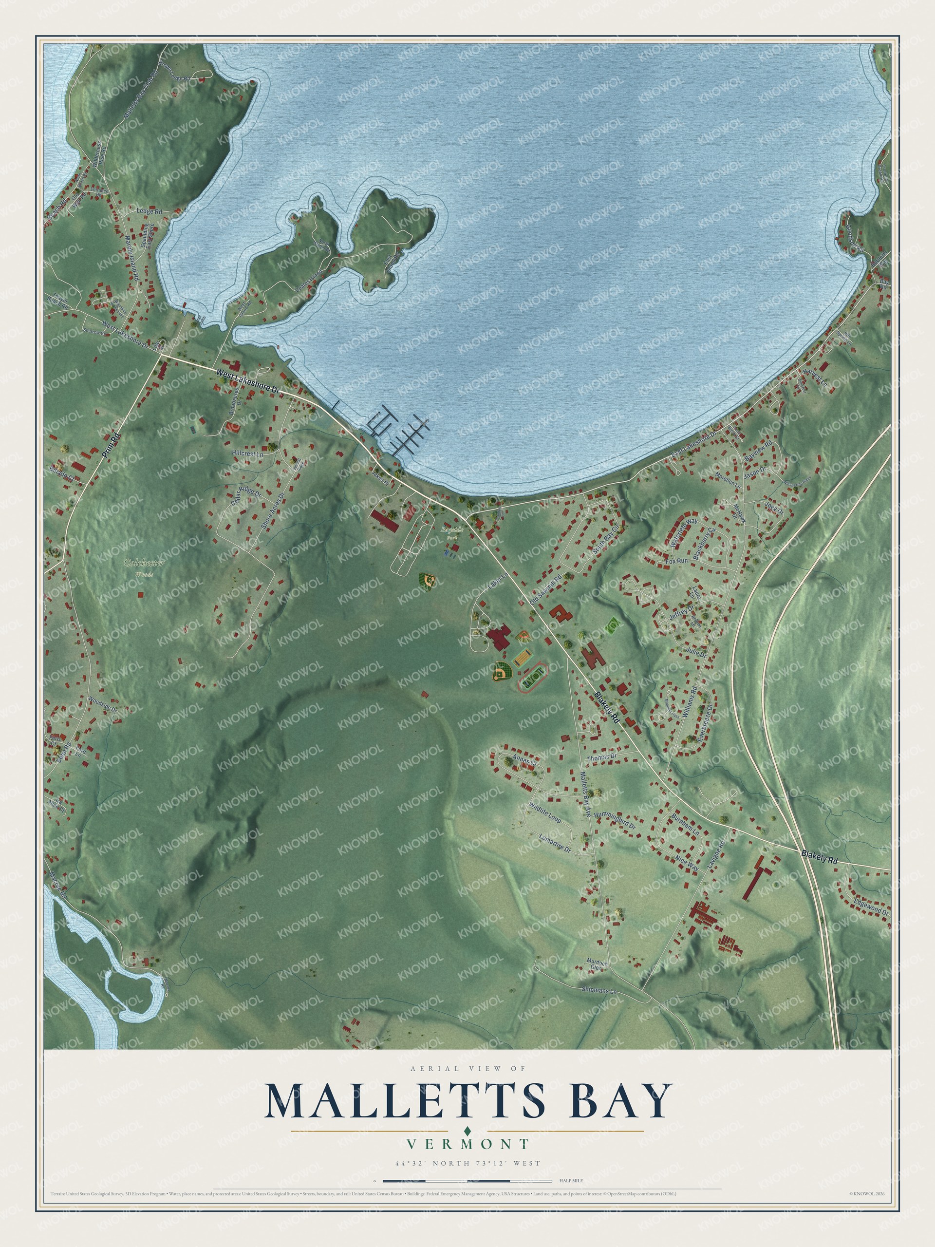
This beautifully detailed map of Malletts Bay, Vermont was created in 2026 using aerial imagery combined with modern topographical, census, street and landmark data. It’s a one-of-a-kind view of Malletts Bay that combines accurate data with a vintage aesthetic. The map shows every building in its true location, many of the roads carry their names, and the shaded topographic relief shows the shape of the land.
Explore an aerial view of Malletts Bay, Vermont
On the map you’ll find Bayside Park and Colchester Woods, along with West Lakeshore Drive, Blakely Road, Prim Road, East Lakeshore Drive, Malletts Bay Avenue, Williams Road, Marble Island Road, Shore Acres Drive, Bean Road, South Bay Circle, and more. If you look closely you can even find your house accurately drawn in its correct location. Zoom in on the preview to look for yours.
Did You Know?
From Internet Archive: "Camp Ziptekana was established a year earlier at Malletts Bay on Lake Champlain."
Malletts Bay is a community in Chittenden County.
Take a closer look at the Malletts Bay map
Names on this map
These names are printed on this map.
Places: Bayside Park, Colchester Woods and Woodbine by the Lake.
Streets and roads: West Lakeshore Drive, Blakely Road, Prim Road, East Lakeshore Drive, Malletts Bay Avenue, Williams Road, Marble Island Road, Shore Acres Drive, Bean Road, South Bay Circle, Lavigne Road, Macrae Road.
More street names, A to Z
Andrea Lane, Annas Court, Bartletts Way, Bay Road, Bayview Road, Beach Road, Billado Court, Blackberry Circle, Broadacres Drive, Brown Ledge Road, Burnham Lane, Cedar Ridge Drive, Coates Island, Crooked Creek Road, East Island Road, Edgewood Drive, Entrance Road, Everbreeze Drive, Fern Court, Ferndell Lane, Ford Lane, Fox Run, Goodsell Road, Harvest Lane, Hillcrest Lane, Hill Spring Lane, Hummingbird Drive, Ira Allen Court, Jakes Place, Jason Drive, Jeffrey Drive, Joey Drive, Julie Drive, Laker Lane, Laura Lane, Ledge Road, Lilac Street, Lomartire Drive, Lone Birch Street, Macrea Road, Malletts Bay Club Road, McHawk Drive, Midnight Pass, Morellen Lane, Murdoch Glen, Nice Way, North Beach Road, North Island Road, Old Sawmill Road, Old Well Road, Sharrow Circle, Shipmans Lane, Spaulding East Shore, Summit Ridge, Suncrest Terrace, Thayer Beach Road, Thomas Drive, Waterlefe Way, West Island Road, Whispering Pines, Wilderness Rise Road, Wildlife Loop, Woodside Drive.
See it on a wall
The Malletts Bay map as a framed print. Swipe for more.


This beautifully detailed map of Malletts Bay makes an attractive addition to your office, library, or den, and it can even be used to teach children the geography and history of the area. It also makes a great gift for someone who left Malletts Bay and still calls it home. When you’re done exploring, click here to get your copy of the Malletts Bay map.