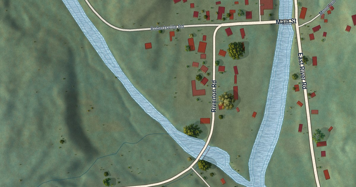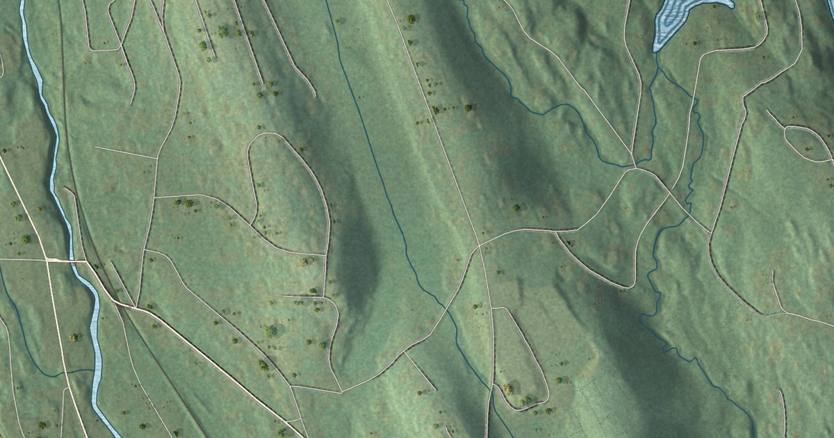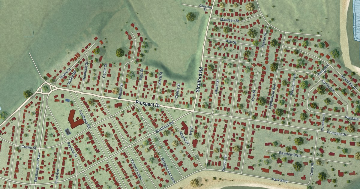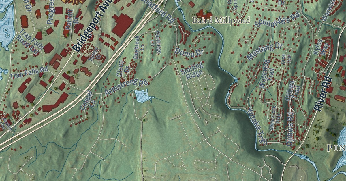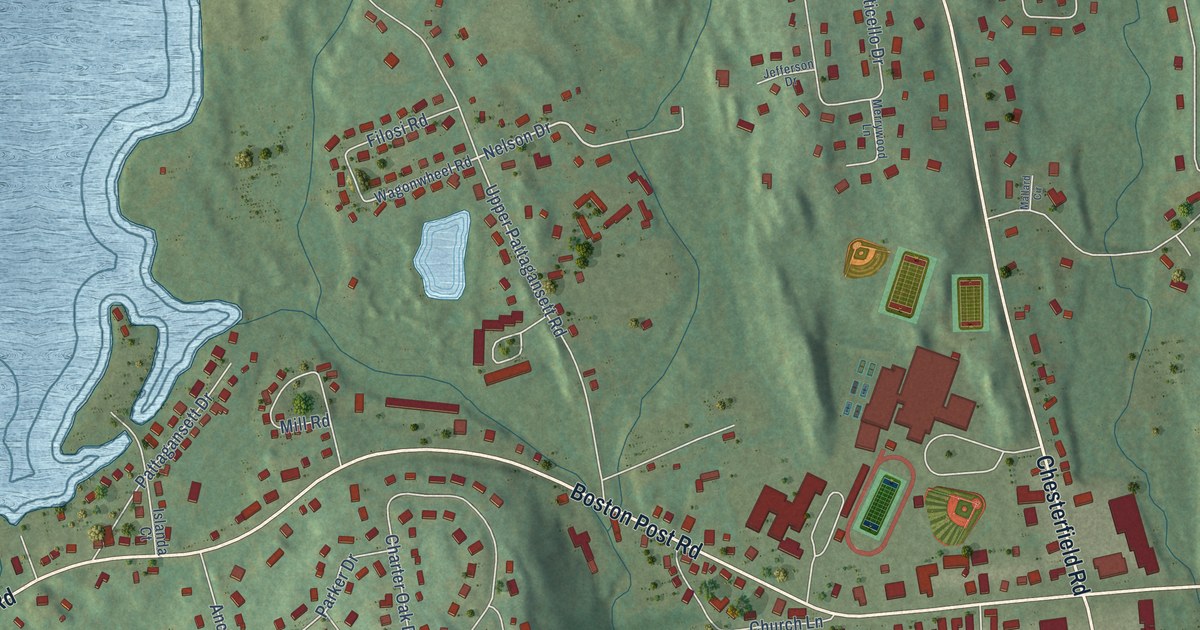
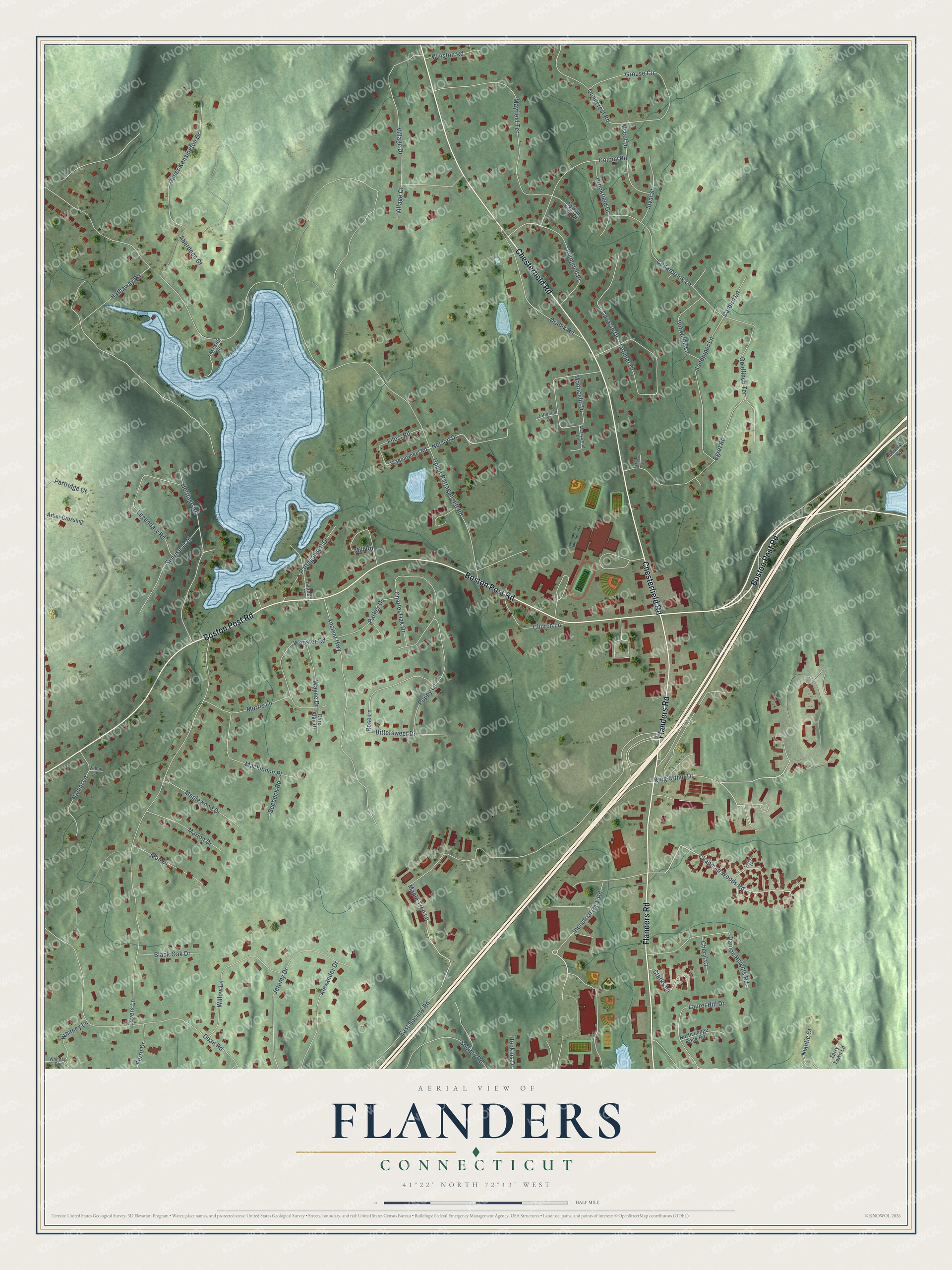
This beautifully detailed map of Flanders, Connecticut was created in 2026 using aerial imagery combined with modern topographical, census, street and landmark data. It’s a one-of-a-kind view of Flanders that combines accurate data with a vintage aesthetic. The map shows every building in its true location, many of the roads carry their names, and the shaded topographic relief shows the shape of the land.
Explore an aerial view of Flanders, Connecticut
On the map you’ll find Boston Post Road, Chesterfield Road, Flanders Road, Chapman Woods Road, Maple Tree Lane, Nelson Drive, Upper Pattagansett Road, Lovers Lane, Dean Road, Ancient Highway, Village Drive, Mayfield Terrace, and more. If you look closely you can even find your house accurately drawn in its correct location. Zoom in on the preview to look for yours.
Did You Know?
From Internet Archive: "The village of Flanders is located at the head of Niantic River, while Niantic Village is seated at the mouth of the same river on the Sound."
Flanders is a community in Southeastern Connecticut County.
Take a closer look at the Flanders map
Names on this map
These names are printed on this map.
Streets and roads: Boston Post Road, Chesterfield Road, Flanders Road, Chapman Woods Road, Maple Tree Lane, Nelson Drive, Upper Pattagansett Road, Lovers Lane, Dean Road, Ancient Highway, Village Drive, Mayfield Terrace.
More street names, A to Z
Aberdeen Court, Alexander Drive, Alscot Drive, Arbor Crossing, Bittersweet Drive, Black Oak Drive, Bobwhite Lane, Brookfield Drive, Carlisle Lane, Catbird Lane, Cavasin Drive, Cedarbrook Lane, Charter Oak Drive, Cheryl Court, Chris Alan Drive, Church Lane, Clarks Lane, Colony Road, Damon Heights Road, Drabik Road, East Society Road, Egret Road, Ferro Drive, Filosi Road, Goldfinch Terrace, Grouse Circle, Gurley Road, Hathaway Road, Heritage Road, Hopkins Drive, Industrial Park Road, Irvingdell Place, Islanda Court, Jean Drive, Jefferson Drive, Jeremy Drive, Joval Street, King Arthur Drive, Lakeside Road, Latimer Drive, Laurel Hill Drive, Legendary Road, Mackinnon Place, Mallard Circle, Maplewood Drive, Marion Drive, Merrywood Lane, Mill Road, Monticello Drive, Morris Lane, Naomi Lane, Niantic Court, North Ledge Rock Road, Parker Drive, Partridge Court, Pattagansett Drive, Poppy Lane, Quailcrest Road, Rose Lane, Sandpiper Lane, Seebeck Road, Society Road, Sunrise Trail, Sylvan Glen Drive, Tarry Town Lane, Upper Kensington Drive, Village Court, Wagonwheel Road, Wayne Drive, Webster Road, Whitney Circle, Whitney Lane, Wilbur Lane, Willow Lane, Winston Road.
See it on a wall
The Flanders map as a framed print. Swipe for more.


This beautifully detailed map of Flanders makes an attractive addition to your office, library, or den, and it can even be used to teach children the geography and history of the area. It also makes a great gift for anyone with Flanders roots. When you’re done exploring, click here to get your copy of the Flanders map.