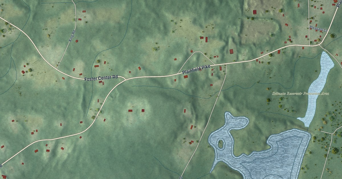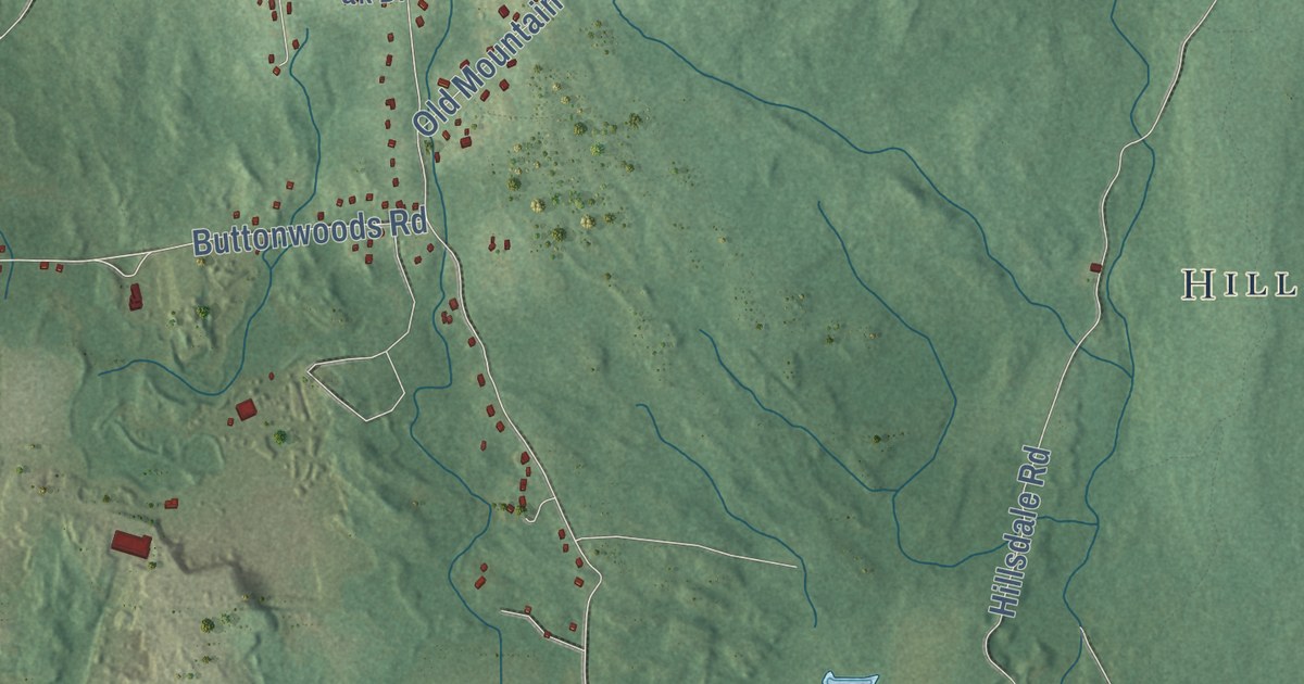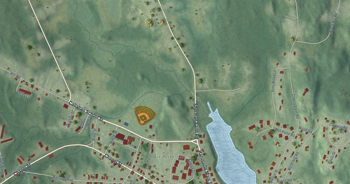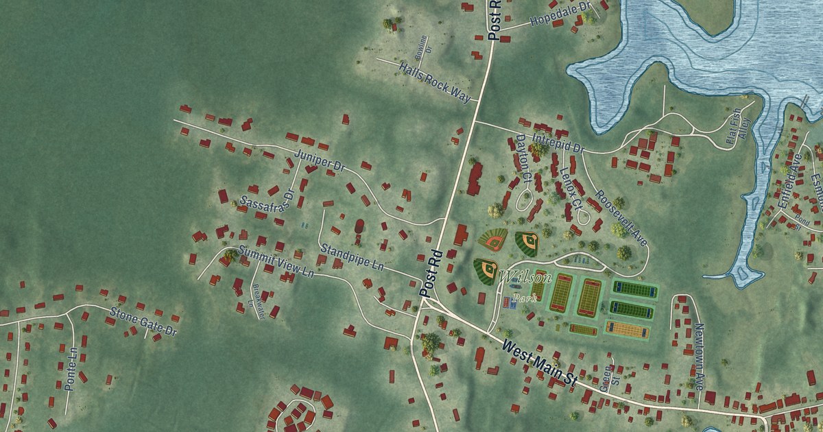
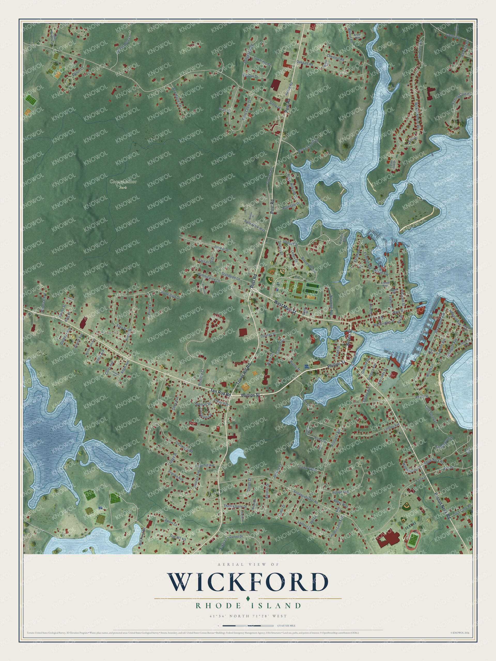
This beautifully detailed map of Wickford, Rhode Island was created in 2026 using aerial imagery combined with modern topographical, census, street and landmark data. It’s a one-of-a-kind view of Wickford that combines accurate data with a vintage aesthetic. The map shows every building in its true location, many of the roads carry their names, and the shaded topographic relief shows the shape of the land.
Explore an aerial view of Wickford, Rhode Island
On the map you’ll find Cocumcussoc Park, Wilson Park, and Lafayette, along with Phillips Street, Brown Street, Tower Hill Road, Post Road, Boston Neck Road, Ten Rod Road, West Main Street, Roosevelt Avenue, Newport Avenue, and more. If you look closely you can even find your house accurately drawn in its correct location. Zoom in on the preview to look for yours.
Did You Know?
From Internet Archive: "The first settlement in the state was by Roger Williams, at Providence, in 1636; the others were by Coddington, at Portsmouth, in 1638; by Richard Smith, at Wickford, in Narragansett, in 1639,' and by Gorton, in Warwick, in 1642-3."
Wickford is a community in Washington County.
Take a closer look at the Wickford map
Names on this map
These names are printed on this map.
Places: Cocumcussoc Park, Wilson Park and Lafayette.
Streets and roads: Phillips Street, Brown Street, Tower Hill Road, Post Road, Boston Neck Road, Ten Rod Road, West Main Street, Roosevelt Avenue, Newport Avenue, Steamboat Avenue, Old Post Road, Lexington Avenue.
More street names, A to Z
Allison Court, Amy Street, Angel Avenue, Annaquatucket Road, Arbor Way, Arnold Avenue, Ashton Avenue, Atherton Avenue, Baker Way, Barolay Drive, Bay Street, Beach Street, Beatrice Drive, Big Oak Drive, Boone Street, Bowline Drive, Breakwater Lane, Burnt Cedar Drive, Camp Avenue, Cedar Glen, Central Street, Charlene Court, Chatworth Road, Chestnut Road, Church Lane, Clover Court, Cold Spring Lane, Collation Circle, Concord Avenue, Corey Avenue, Cranston Circle, Cydot Drive, Daniel Drive, Dayton Court, Dean Avenue, Dillon Avenue, Dodge Street, Duck Cove Road, Duck Cv, Edgar Nock Road, Elam Street, Eldred Row, Elgin Avenue, Elm Drive, Elna Street, Enfield Avenue, Esker Lane, Esmond Avenue, Fairway, Fishing Cove Road, Flat Fish Alley, Fowler Street, Friend Street, Gardiner Avenue, Gateway Road, Georgia Avenue, Gray Drive, Green Street, Gregory Avenue, Halls Rock Way, Harbor Court, Haverhill Avenue, Hendrick Avenue, Hidden Mere Lane, Himes Street, Hopedale Drive, Howard Road, Huling Road, Indian Street, Intrepid Drive, Jenkins Court, Juniper Drive, King Street, Lands End Drive, Lantern Lane, Lantern Lane East, Lawton Avenue, Lenox Court, Lindley Avenue, Loop Drive, Main Street, Mill Creek Drive, Mill Pond Road, Misty Meadow Lane, Newtown Avenue, Oakdale Road, Oak Hill Road, Oakland Avenue, Ocean Avenue, Pleasant Street, Pond Street, Ponte Lane, Poplar Avenue, Preston Drive, Prospect Avenue, Queen Street, Ramblewood Drive, Red Maple Terrace, Reynolds Street, Richard Smith Drive, Roger Williams Drive, Rome Street, Sassafras Drive, Sea Grass Way, Sedgefield Road, Spencer Drive, Spruce Road, Standpipe Lane, Stone Gate Drive, Stony Lane, Summit View Lane, Sweet Lane, Thelma Irene Drive, Thomas Street, Trowbridge Road, Updike Avenue, Veil Court, Virginia Avenue, Waite Court, Wall Street, Walnut Road, Wampanaog Circle, Warburton Avenue, Washington Street, Wickford Court, Wickford Point Road, Wright Lane.
See it on a wall
The Wickford map as a framed print. Swipe for more.


This beautifully detailed map of Wickford makes an attractive addition to your office, library, or den, and it can even be used to teach children the geography and history of the area. It also makes a great gift for someone who left Wickford and still calls it home. When you’re done exploring, click here to get your copy of the Wickford map.