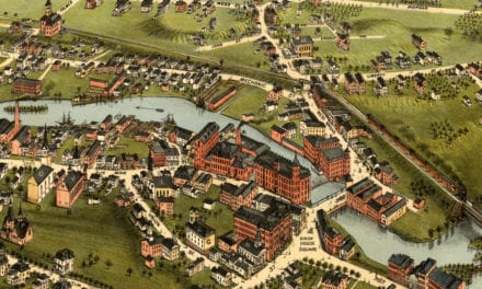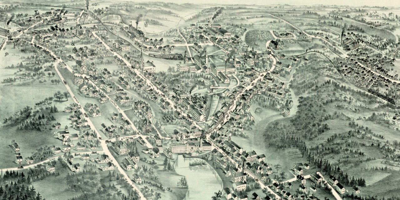
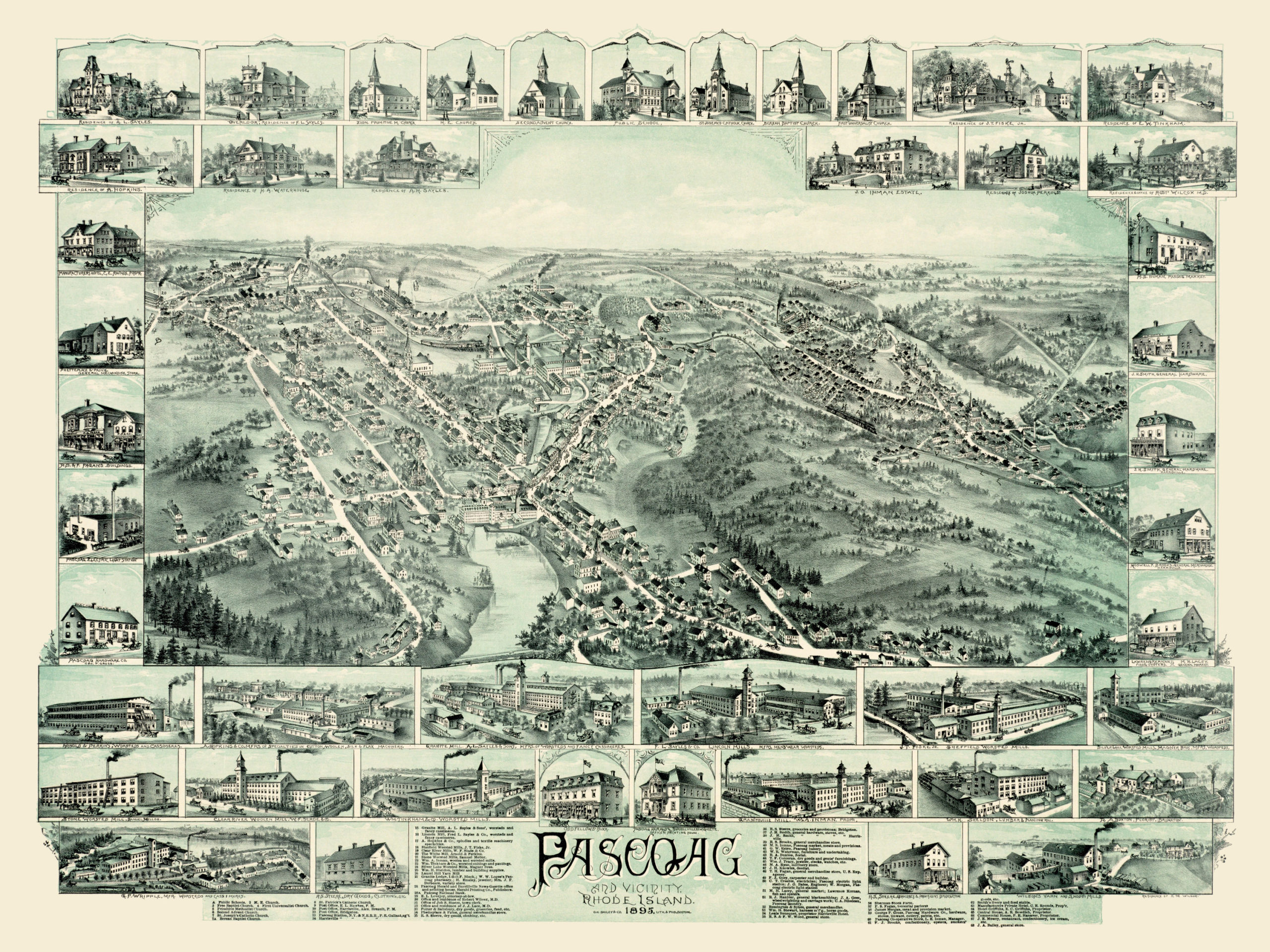
This historic map of Pascoag, Rhode Island was created in 1895 by O.H. Bailey, a prominent 19th century map maker. The map shows a bird’s eye view of Pascoag and vicinity, including street names and old landmarks.
Landmarks on the map include Clear River Woolen Mill, Bailey’s General Store, Smith’s Livery & Feed Stable, Hotel Griffiths, Pascoag Cooperative Store, Sherman Stock Farm, Pascoag Bakery, Stone Worsted Mills, St. Patrick’s Catholic Church, Pascoag Railroad Station, and more.
This historic map of Pascoag, RI has been restored by KNOWOL. Reproductions of the map are available here.
Click here to see Pascoag, Rhode Island in 1895
This old map of Pascoag will make an attractive addition to your office, library, or den and can even be used to teach children the geography and history of the area. When you’re done exploring, click here to get your copy.