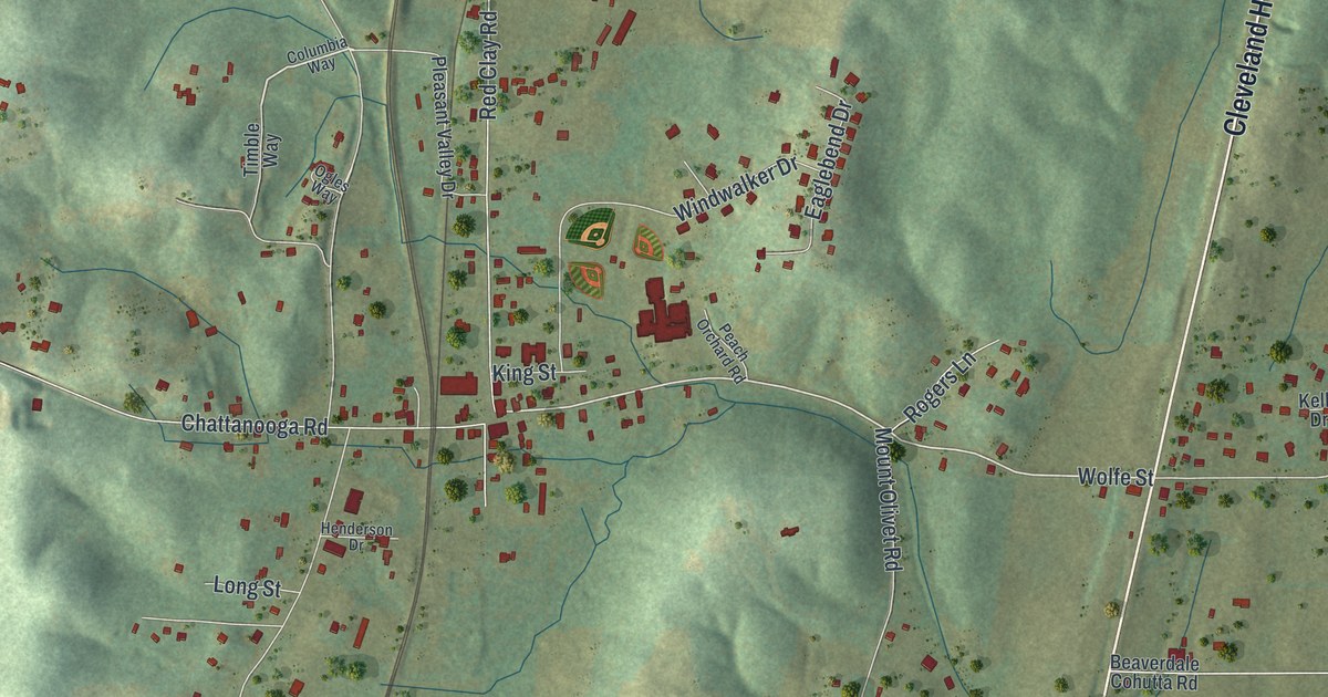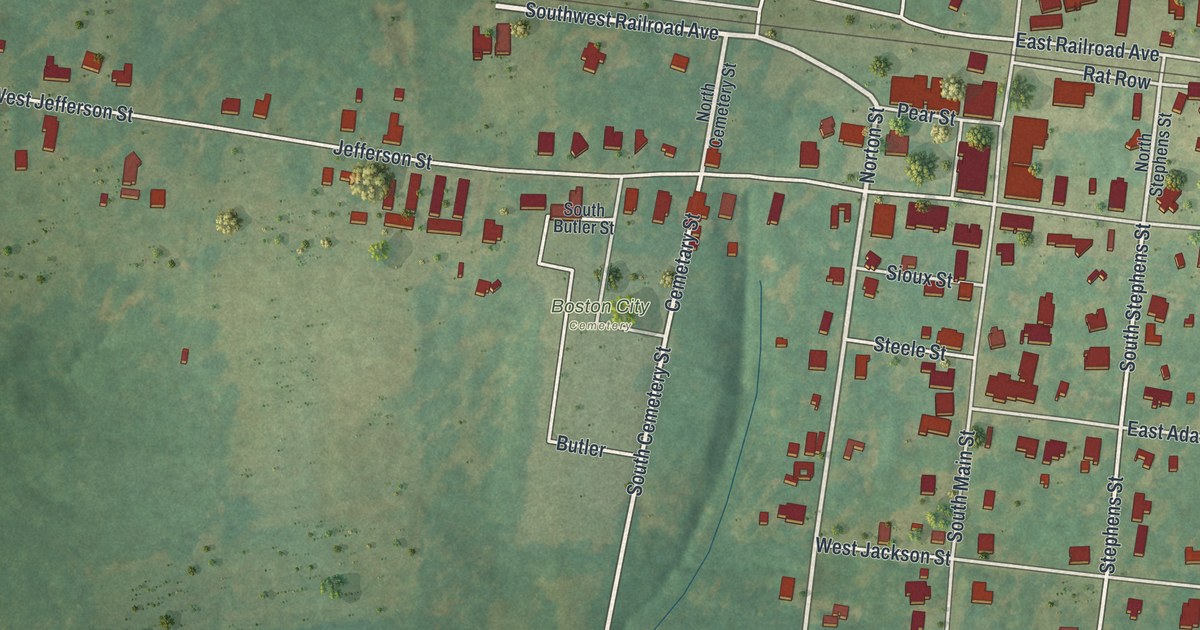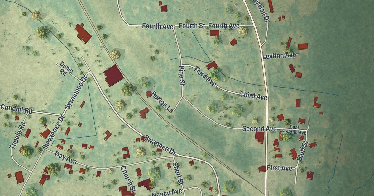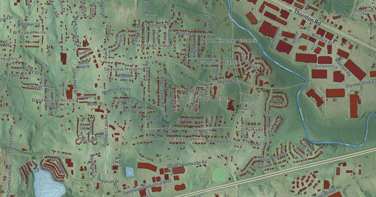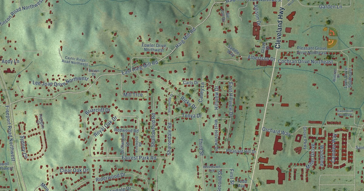
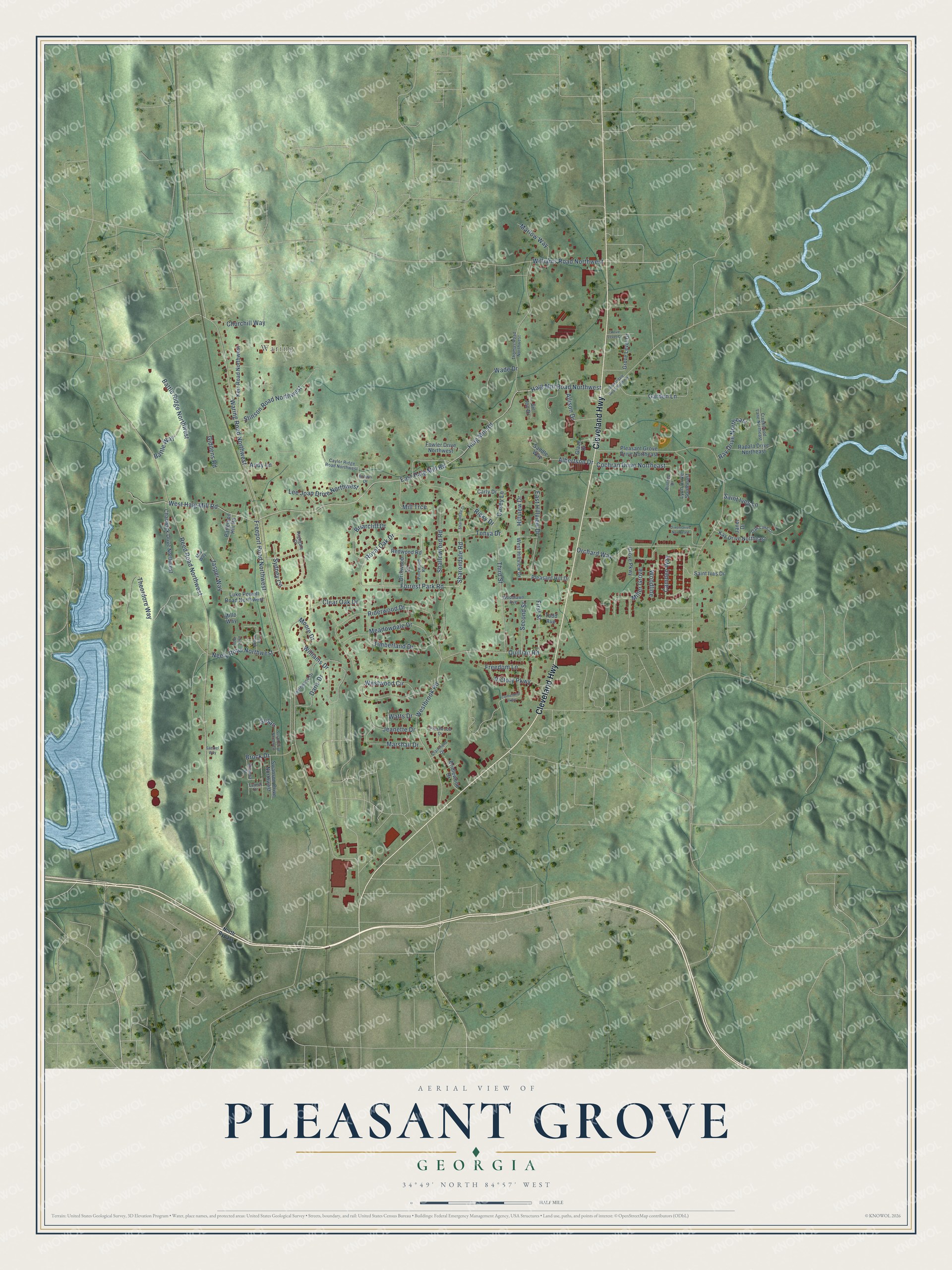
This beautifully detailed map of Pleasant Grove, Georgia was created in 2026 using aerial imagery combined with modern topographical, census, street and landmark data. It’s a one-of-a-kind view of Pleasant Grove that combines accurate data with a vintage aesthetic. The map shows every building in its true location, many of the roads carry their names, and the shaded topographic relief shows the shape of the land.
Explore an aerial view of Pleasant Grove, Georgia
On the map you’ll find Waring, along with Cleveland Highway, Waring Road Northwest, Forrest Park Road, Royal Oak Drive, Sydney Circle, Sharondale Road, Hillview Drive, Haig Mill Road Northwest, Haig Mill Road, Reed Road Northwest, East Haig Mill Road, and more. If you look closely you can even find your house accurately drawn in its correct location. Zoom in on the preview to look for yours.
Did You Know?
From Internet Archive: "Typical large areas are mapped west and northwest of Pleasant Grove Church, along Gates Branch and Little Colomokee Creek, and south of Grimsley Mill."
Pleasant Grove is a community in Whitfield County.
Take a closer look at the Pleasant Grove map
Names on this map
These names are printed on this map.
Places: Waring.
Streets and roads: Cleveland Highway, Waring Road Northwest, Forrest Park Road, Royal Oak Drive, Sydney Circle, Sharondale Road, Hillview Drive, Haig Mill Road Northwest, Haig Mill Road, Reed Road Northwest, East Haig Mill Road, Freeport Road Northwest.
More street names, A to Z
Albertson Drive, Allison Drive, Andy Lane, Battle Ridge Northwest, Battle Way, Beaverdale Road Northeast, Briarcliff Drive, Bridlewood Drive, Brock Drive, Brown Drive, Camden Way, Carly Drive, Casey Lane, Caylor Ridge Road Northwest, Centennial Parkway, Chadwick Drive Northwest, Churchill Way, Clairmont Drive, Clear Oak Drive, Cochran Drive Northeast, Creekwood Lane Northeast, Daris Drive, Dixon Drive Northeast, Driftwood Lane, East Hillview Drive, First Street, Fowler Drive Northwest, Freedom Lane, Garden Lane, Giddens Road, Glaze Drive, Grove Level Court, Grove Level Drive, Grove Parkway, Highgate Court, Inglewood Drive, Janet Drive, Jasper Way, Jeanette Drive, Kay Drive Northeast, Kerr Road Northwest, Laurel Drive, Lee Joan Drive Northwest, Luke Powell Road Northwest, Lynn Drive Southeast, Marlow Way, Marshall Drive, Meadowdale Drive, Mia Way, Miller Grove, Millo Way, Mill Trce, Mimosa Street, Moore Drive, Neely Road Northwest, North Bypass, Oak Lake Drive, Orchard Way, Patterson Hill Road, Pinewood Road, Pleasant Grove Drive Northeast, Pleasant Hill Drive, Prestwood Drive, Privit Way, Quillian Road, Rapala Drive Northeast, Ray Drive Northeast, Redwood Road, Ricky Drive, Riderwood Drive, Saddle Way, Saint Ives Drive, Saint Ives Lane, Samuel Way, Second Street, Shallowford Road, Sharondale Drive, Sir Jon Drive, Stinson Road Northwest, Susan, Susan Drive Northwest, Swanson Drive Northwest, Theordore Way, Third Street, Thomas Road Northwest, Timberland Drive, Todd Avenue, Tonya Drive, Victory Parkway, Wade Drive, Watts Drive, Westbrook Road, West Haig Mill Road, West Hillview Drive, Westwood Circle, Williams Drive, Williams Road Northwest, Willow Drive, Winfred Drive, Woodlawn Avenue, Woodline.
See it on a wall
The Pleasant Grove map as a framed print. Swipe for more.


This beautifully detailed map of Pleasant Grove makes an attractive addition to your office, library, or den, and it can even be used to teach children the geography and history of the area. It also makes a great gift for anyone who grew up in Pleasant Grove or moved away. When you’re done exploring, click here to get your copy of the Pleasant Grove map.