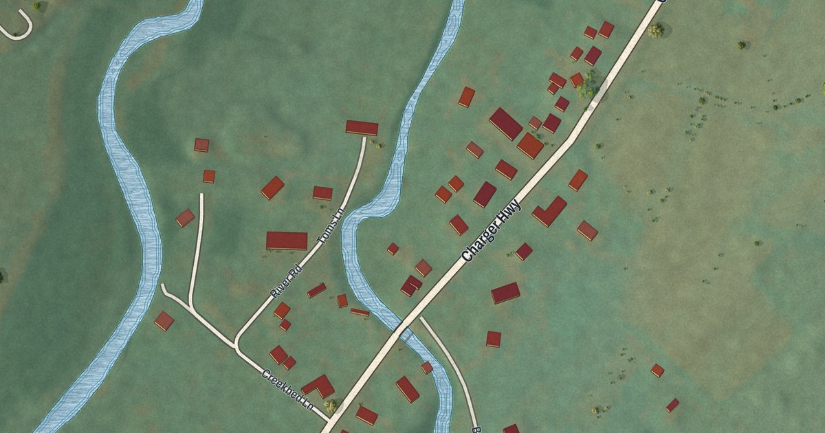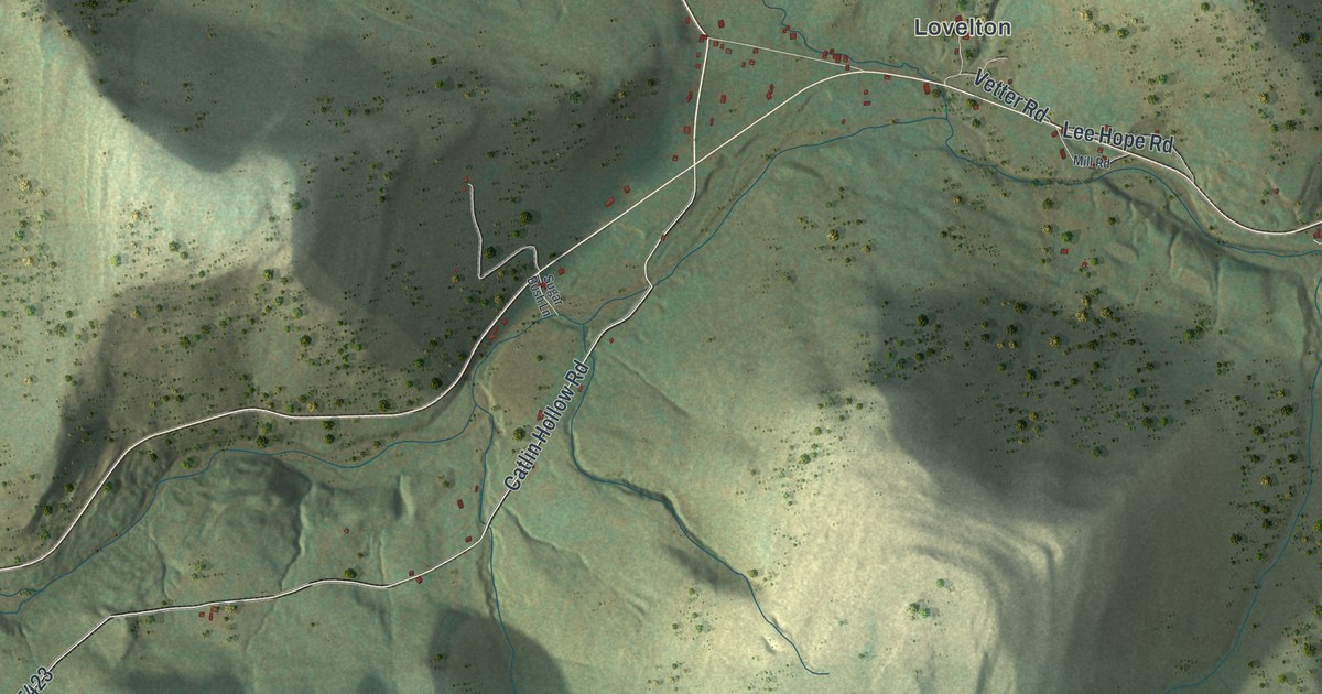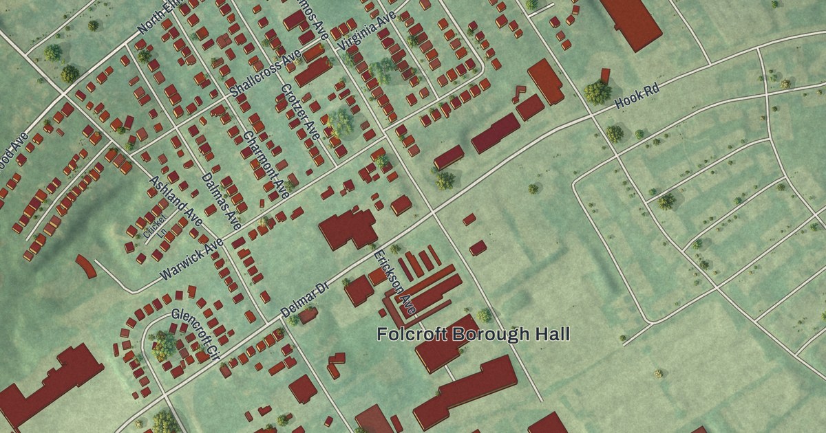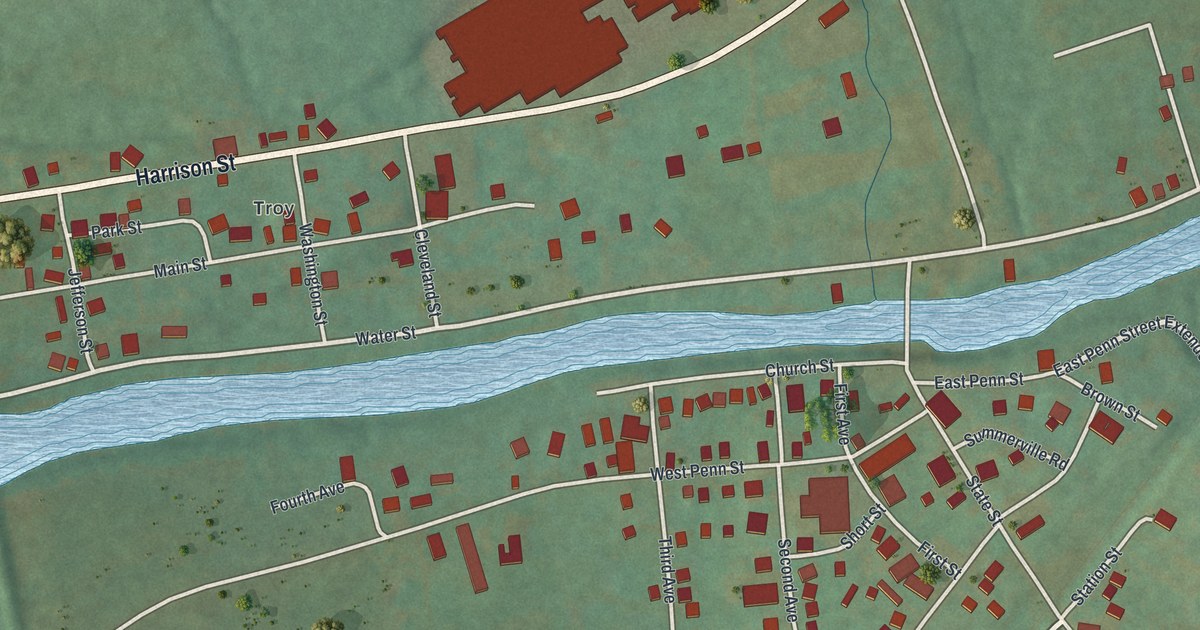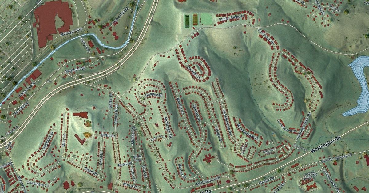
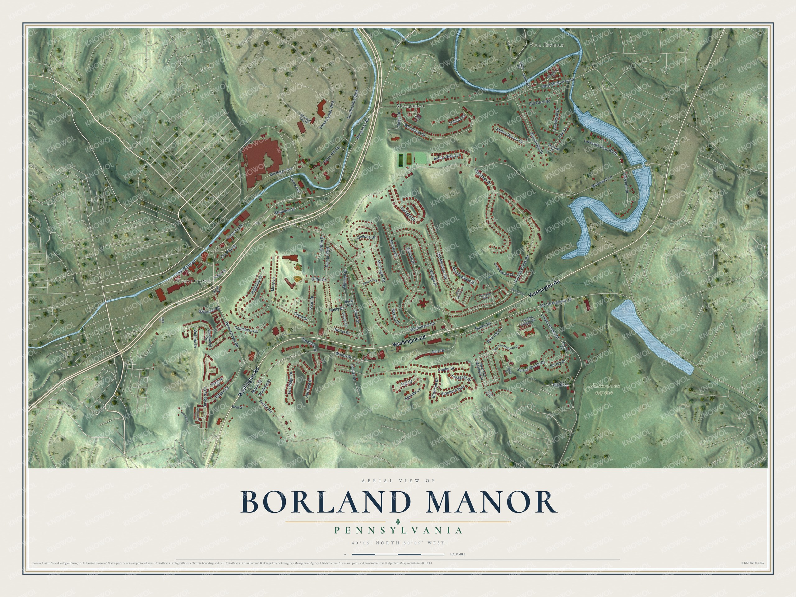
This beautifully detailed map of Borland Manor, Pennsylvania was created in 2026 using aerial imagery combined with modern topographical, census, street and landmark data. It’s a one-of-a-kind view of Borland Manor that combines accurate data with a vintage aesthetic. The map shows every building in its true location, many of the roads carry their names, and the shaded topographic relief shows the shape of the land.
Explore an aerial view of Borland Manor, Pennsylvania
On the map you’ll find Van Emman, Lindenwood Golf Club, Weavertown, and Morganza, along with Washington Road, Morganza Road, McClelland Road, Michigan Avenue, Old Pike Street, Neely Drive, McDowell Lane, Hunting Creek Road, and more. If you look closely you can even find your house accurately drawn in its correct location. Zoom in on the preview to look for yours.
Take a closer look at the Borland Manor map
Names on this map
These names are printed on this map.
Places: Van Emman, Lindenwood Golf Club, Weavertown and Morganza.
Streets and roads: Washington Road, Morganza Road, McClelland Road, Michigan Avenue, Old Pike Street, Neely Drive, McDowell Lane, Hunting Creek Road, West McMurray Road, Galley Road, Old US Highway 19, Maple Street.
More street names, A to Z
Abbeywood Lane, Ahepa Drive, Amber Woods Drive, Anderson Drive, Ashwood Drive, Bayberry Drive, Blossom Drive, Blue Jay Drive, Braeburn Way, Cavasina Drive, Chambers Lane, Clare Drive, Clutter Street, Cricketwood Court, Curry Avenue, Curry Hill Road, Demar Boulevard, Dicio Street, Dundee Drive, East Fair Meadows Drive, Euclid Avenue, Four Coins Drive, Foxchase Drive, Fox Ridge Drive, Fuji Drive, Fulton Road, Fyda Drive, Gala Drive, Galati Lane, Giffin Drive, Glenncannon Drive, Glen Spring Circle, Greenwood Drive, Griffin Drive, Hahn Road, Hahn Street, Heritage Cr, Hideaway Lane, Highland Drive, Hook Street, Horizon Vue Drive, Indian Ridge Lane, Jonagold Drive, Lakeside Drive, Lakeside Drive North, Lakewood Drive, Lilly Lane, Linda Court, Linden Creek Road, Linden Vue Drive, Locust Street, Martha Drive, Mary Lane, McGregor Drive, Meadowview Drive, Merino Drive, Mitchell Drive, Neely Avenue, Neill Drive, Norris Drive, Oak Lane, Old Farm Road, Old Meadow Road, Partridge Way, Pearl Drive, Peartree Drive, Poplar Street, Rifgon Drive, Salvanes Road, School Street, Skyview Drive, Southpointe Boulevard, Spindle Court, Strabane Street, Surrey Drive, Surrey Road, Surrey Woods Drive, Tandem Village Road, Town Center Boulevard, Trillium Court, Twilight Drive, Victoria Drive, Village Drive, Waterford Court, Weavertown Road, West Fair Meadows Drive, William Drive, Willow Street, Winfield Street, Woodlawn Drive, Woodridge Drive.
See it on a wall
The Borland Manor map as a framed print. Swipe for more.


This beautifully detailed map of Borland Manor makes an attractive addition to your office, library, or den, and it can even be used to teach children the geography and history of the area. It also makes a great gift for anyone with Borland Manor roots. When you’re done exploring, click here to get your copy of the Borland Manor map.