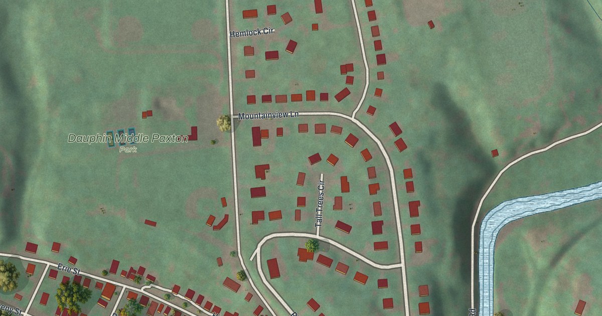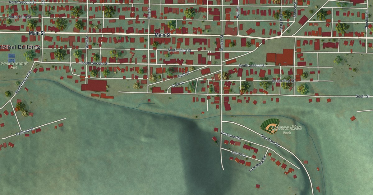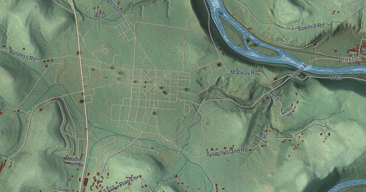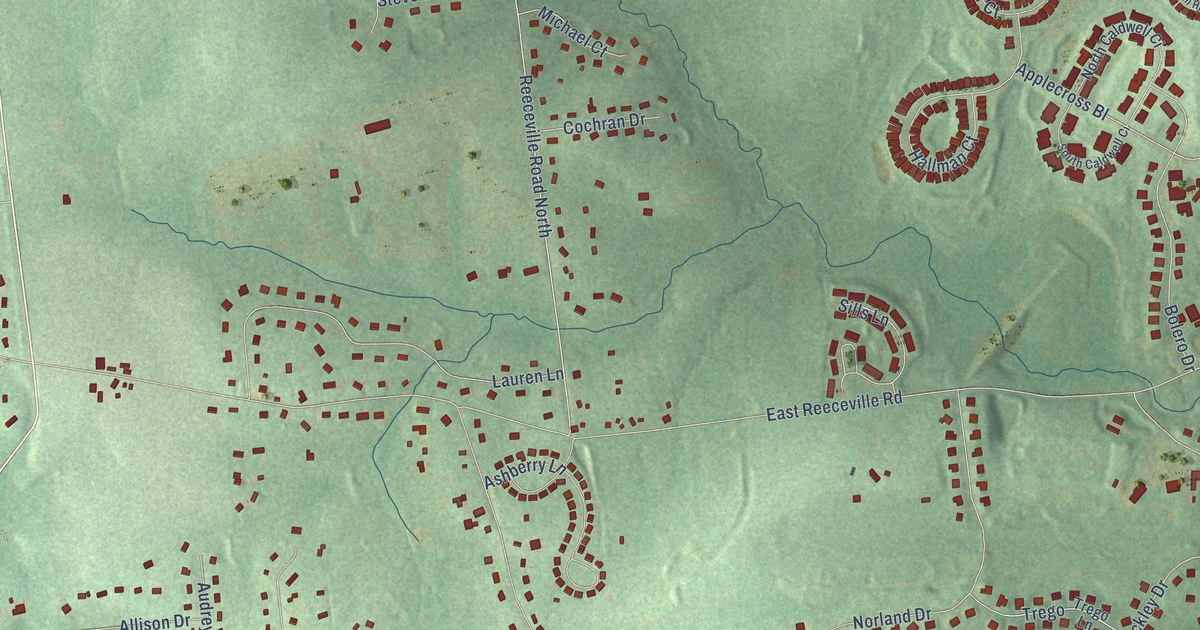
This beautifully detailed map of Reeceville, Pennsylvania was created in 2026 using aerial imagery combined with modern topographical, census, street and landmark data. It’s a one-of-a-kind view of Reeceville that combines accurate data with a vintage aesthetic. The map shows every building in its true location, many of the roads carry their names, and the shaded topographic relief shows the shape of the land.
Explore an aerial view of Reeceville, Pennsylvania
On the map you’ll find All Souls Cemetery and Timber Pass, along with South Manor Road, Kings Highway, Horse Shoe Pike, North First Avenue, West Kings Highway, Culbertson Run Road, Little Washington Lyn Road, Little Washington Lyndell Road, Emma Court, Garden View Drive, and more. If you look closely you can even find your house accurately drawn in its correct location. Zoom in on the preview to look for yours.
Take a closer look at the Reeceville map
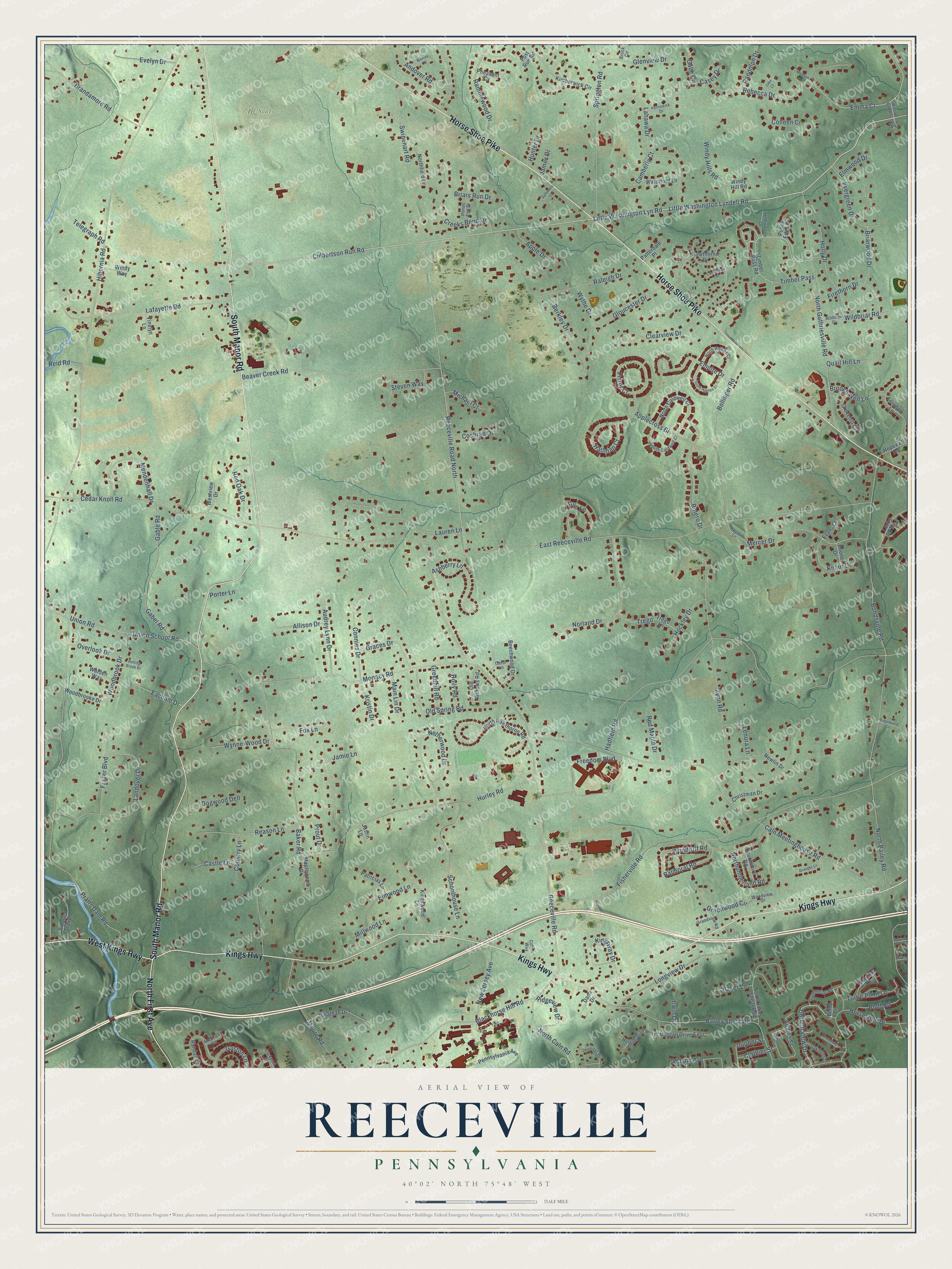
Names on this map
These names are printed on this map.
Places: All Souls Cemetery.
Streets and roads: South Manor Road, Kings Highway, Horse Shoe Pike, North First Avenue, West Kings Highway, Culbertson Run Road, Little Washington Lyn Road, Little Washington Lyndell Road, Timber Pass, Emma Court, Garden View Drive, East Reeceville Road.
More street names, A to Z
Adams Street, Allison Drive, Andover Road, Applecross Bl, Apple Drive, Ashberry Lane, Audrey Lynn Drive, Baker Lane, Baker Road, Balmoral Road, Barclay Street, Barley Sheaf Road, Beaver Creek Road, Beechwood Drive, Berkley Drive, Betsy Lane, Blackhorse Hill Road, Bluff Road, Bolero Drive, Bollinger Road, Bondsville Road, Boone Drive, Brandamore Road, Briars Run Drive, Briarwood Drive, Brook Circle, Brookhaven Lane, Caln Meetinghouse Road, Camberly Court, Cambridge Court, Carol Lane, Casey Drive, Castle Lane, Cedar Knoll Road, Christman Drive, Clearview Drive, Clothier Street, Cochran Drive, Colins Way, Colleen Ci, Connies Drive, Country Lane, Creeks Bend Drive, Dana Drive, Devonshire Road, Dogwood Dell, Dupont Street, Eacham Drive, Elmwood Drive, Elmwood Lane, Empire Drive, Evans Court, Evelyn Drive, Evergreen Drive, Ferndale Lane, Firethorn Drive, Fisherville Road, Fox Lane, Frazer Boulevard, Freedom Boulevard, Gabe Circle, Gabel Road, Gable Road, Gaston Lane, Glenview Drive, Gloucester Drive, Graces Drive, Grandview Road, Granger Lane, Greenbriar Road, Greenhill Road, Greenwood Circle, Grovehill Court, Hadfield Road, Hallman Court, Harcourt Lane, Hawthorne Drive, Hibernia Road, Hockley Drive, Holly Drive, Holly Road, Hopewell Road, Horseshoe Drive, Hunter Drive, Hurley Road, Irwin Drive, Jake Court, James Drive, Jamie Lane, Jennifer Drive, Jonathan Drive, Justin Lane, Kimberwick Circle, Kingsway Drive, Kingswood Lane, Knaur Drive, Kristin Drive, Lafayette Road, Lahawa Drive, Landover Drive, Lauren Lane, Lenora Lane, Lockport Lane, Locks Farm Lane, Longview Drive, Main Lin Drive, Maplewood Drive, McElree Lane, Meghan Court, Mendenhall Drive, Mercer Drive, Michael Court, Millwood Lane, Monacy Road, Moore Road, Morgan Drive East, Morgan Drive West, Netherwood Drive, New Jersey Avenue, Newlin Drive, Norland Drive, North Bailey Road, North Barley Sheaf Road, North Caldwell Ci, North Caln Road, Northfield Drive, North Guthriesville Road, North Haines Ci, North Hawthorne Road, Northumberland Road, Oakmont Drive, Old Spring Road, Old Willows Road, Overlook Drive, Patricias Lane, Patterdale Place, Pennswick Drive, Pennsylvania Avenue, Pheasant Cv, Ponds Edge Drive, Ponds End Drive, Porter Lane, Post Run Road, Pratts Dam Road, Prizer Court, Prout Drive, Quail Hill Lane, Raleigh Drive, Ramblewood Drive, Randall Lane, Randolph Drive, Raye Road, Reason Lane, Rebecca Drive, Red Maple Drive, Red Oak Drive, Reeceville Road, Reeceville Road North, Reid Road, Ric Circle, Ridgeview Drive, Ridgewood Circle, Rolling Brook Drive, Schoolhouse Lane, Sills Lane, Siousca Station, Skyview Lane, South Caldwell Ci, South Haines Ci, Springton Road, Steven Way, Summers Lane, Swinehart Road, Sylvan Drive, Telegraph Road, Thorndale Place, Timber Pass Road, Trego, Trego Lane, Turtle Point Lane, Union Road, Union School Road, Vinelyn Lane, Walden Way, Warren Circle, Waterford Lane, Wayne Avenue, Westview Drive, Wildbriar Road, Wildbrier Drive, Willow Oak Way, Windy Hill Road, Windy Hills Road, Windy Way, Woodbrook Drive, Woodbrooke Drive, Woodruff Road, Woodview Drive, Wynne-Wood Drive, Wythe Drive, Yellowwood Drive, Zynn Road.
See it on a wall
The Reeceville map as a framed print. Swipe for more.


This beautifully detailed map of Reeceville makes an attractive addition to your office, library, or den, and it can even be used to teach children the geography and history of the area. It also makes a great gift for anyone with Reeceville roots. When you’re done exploring, click here to get your copy of the Reeceville map.