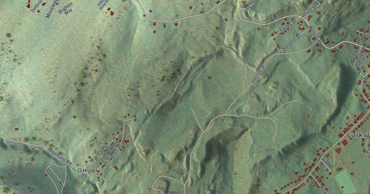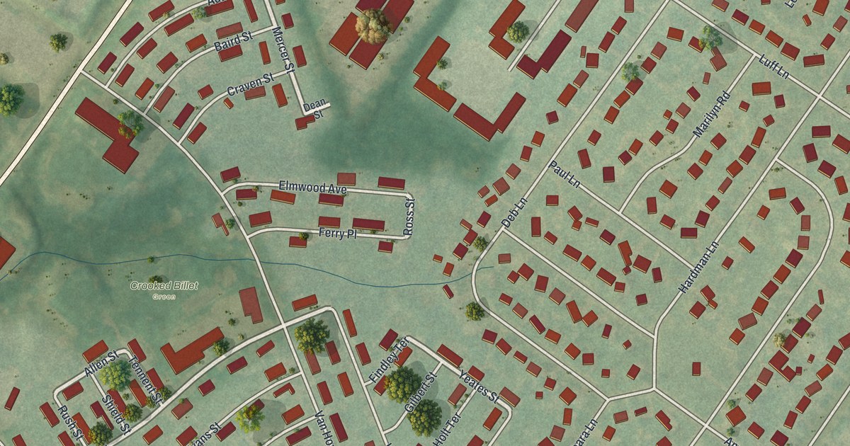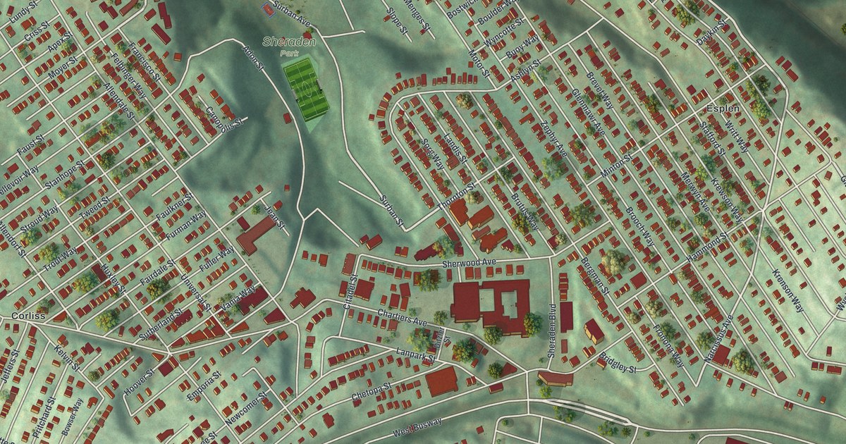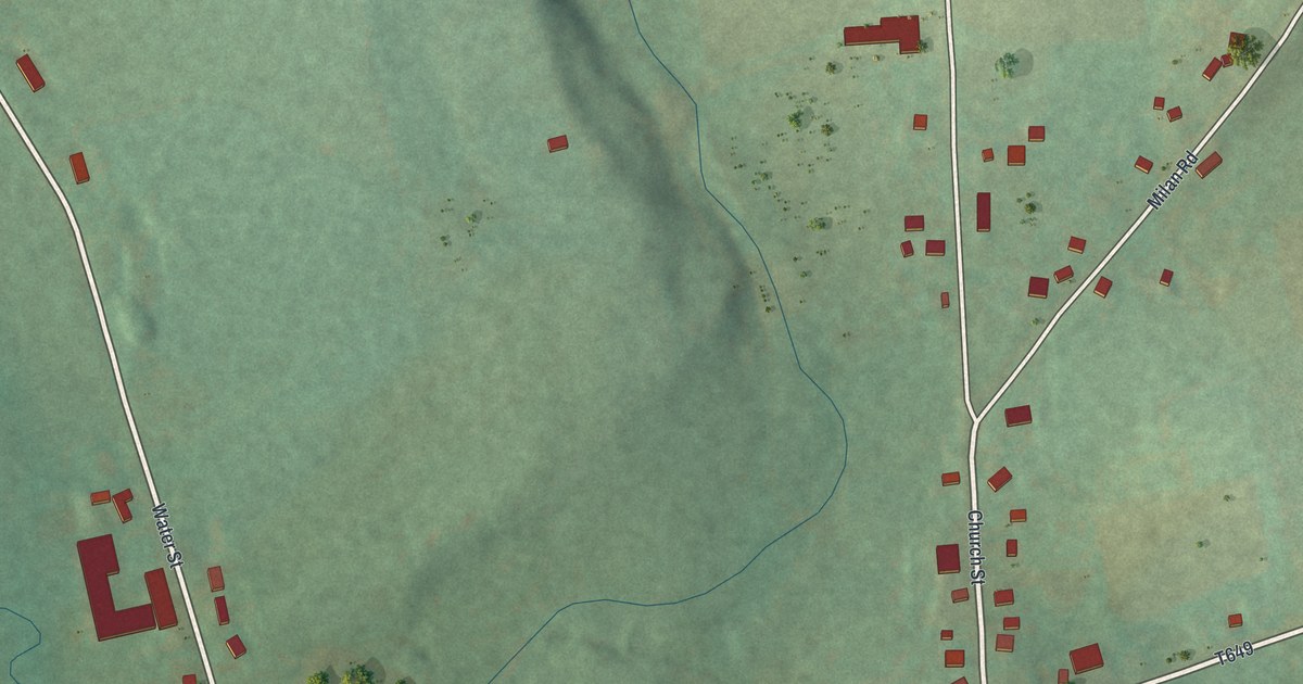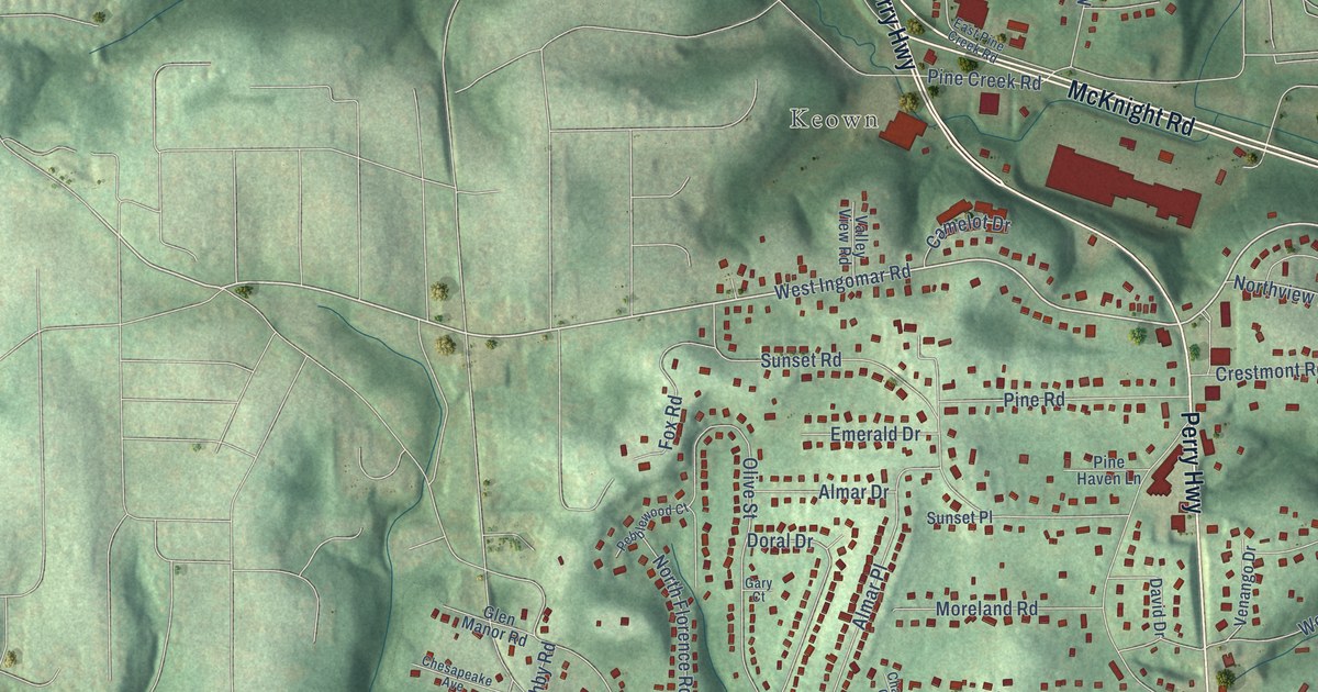
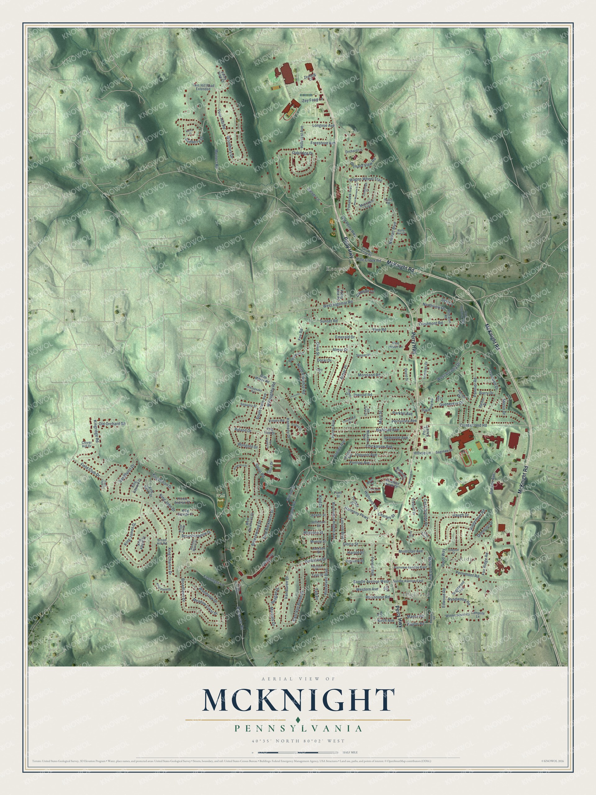
This beautifully detailed map of McKnight, Pennsylvania was created in 2026 using aerial imagery combined with modern topographical, census, street and landmark data. It’s a one-of-a-kind view of McKnight that combines accurate data with a vintage aesthetic. The map shows every building in its true location, many of the roads carry their names, and the shaded topographic relief shows the shape of the land.
Explore an aerial view of McKnight, Pennsylvania
On the map you’ll find Highland, Fox Ridge, Keown, and Wall Park, along with Perry Highway, McKnight Road, West Ingomar Road, Broadmeadow Drive, Kaylor Road, Melwood Avenue, Hillcrest Avenue, Old Perry Highway, and more. If you look closely you can even find your house accurately drawn in its correct location. Zoom in on the preview to look for yours.
Did You Know?
From Internet Archive: "Three men named Moran, Hugh Penny, and McKnight kept store at ' Big Island/ who used to furnish the settlers with their supplies and take their timberrafts as pay."
McKnight is a community in Allegheny County.
Take a closer look at the McKnight map
Names on this map
These names are printed on this map.
Places: Highland, Fox Ridge, Keown and Wall Park.
Streets and roads: Perry Highway, McKnight Road, West Ingomar Road, Broadmeadow Drive, Kaylor Road, Melwood Avenue, Hillcrest Avenue, Old Perry Highway, Rochester Road, Highland Road, Olive Street, Sloop Road.
More street names, A to Z
Adams Street, Almar Drive, Almar Place, Barry Drive, Barton Drive, Birch Avenue, Breezewood Drive, Brightwood Trail, Broad Hill Drive, Broad Hill Road, Broadlawn Drive, Brookshire Drive, Calais Drive, Camelot Drive, Casa Grande Drive, Chapel Court, Charles Street, Chesapeake Avenue, Chickasaw Avenue, Clover Hill Drive, Conestoga Court, Crestmont Road, Cromwell Drive, Cumberland Road, Darrell Drive, David Drive, Dell Lane, Demmler Drive, Doral Drive, Duncan Avenue, East Barkhurst Drive, East Ingomar Terrace, East Pine Creek Road, East Van Buren Drive, Edwood Court, Edwood Road, Emerald Drive, Fairview Avenue East, Fassinger Lane, Field Club Court, Field Club Drive, Forest Avenue, Forestvue Avenue, Fox Ridge Road, Fox Road, Front Street, Gary Court, Glen Manor Road, Gloria Street, Good Way, Guenevere Drive, Harmony Drive, Harmony Parkway, Harmony Road, Harold Street, Harrison Street, Harvest Manor Drive, Haugh Drive, High Street, Highview Street, Hillvue Lane, Huron Avenue, Inverness Drive, Inwood Road, Iroquois Avenue, Jackson Street, Jefferson Street, Kind Drive, King Albert Drive, King Charles Drive, King David Drive, King Edward Drive, King George Court, King Henry Drive, King James Drive, King John Drive, Kingridge Road, King William Drive, Lamplite Lane, Lincoln Boulevard, Longvue Avenue, Louisville Place, Madison Street, Manor Road, Marquis Drive, Mary Street, Meadow Crest Drive, Meinert Road, Memorial Drive, Merlin Drive, Moccasin Trail, Mohawk Avenue, Mohican Avenue, Monroe Street, Montclair Avenue, Moreland Road, Moss Court, Natick Court, Neuhart Boulevard, Nineteen North Court, Nineteen North Drive, Nixon Road, North Florence Road, Northview Drive, Oak Court, Oakridge Drive, Oakwood Road, Old Orchard Road, Oneida Avenue, Orchard Lane, Orchard View Road, Pannier Road, Parkfel Avenue, Pebblewood Court, Perry Knoll Place, Perrymont Road, Perryvista Avenue, Pine Creek Road, Pine Haven Lane, Pine Heights Place, Pine Line Drive, Pine Road, Pontiac Avenue, Prescott Drive, Prince Andrew Court, Reagan Drive, Ridgemont Road, Rolshouse Road, Roosevelt Boulevard, Rustic Road, Ryland Drive, Ryndwood Road, Saginaw Drive, Sandhurst Drive, Sandle Avenue East, Sandle Avenue West, Santa Rosa Lane, Sarver Lane, Seminole Avenue, Seneca Avenue, Sequoia Street, Sheraton Road, South Irwin Avenue, Sudberry Drive, Sunset Place, Sunset Road, Taft Place, Terrace Drive, Tierra Place, Tomahawk Trail, Trolley Court, Troutwood Drive, Twin Hill Road, Twin Hill Road Extended, Tyler Street, Valley View Court, Valley View Road, Van Buren Drive, Vanburen Drive, Van Dyke Street, Venango Drive, Victory Road, Village Drive, Village Drive South, Wagon Wheel Trail, Wally Nue Court, Washington Heights Avenue, West Arcadia Drive, West Barkhurst Drive, Western Avenue, West Moccasin Trail, Willoughby Road, Winnerwood Road, Wittmer Court, Wittmer Road, Woodbury Drive, Woodview Drive, Wyngold Drive, Zeyfang Drive, Zey Fang Lane.
See it on a wall
The McKnight map as a framed print. Swipe for more.


This beautifully detailed map of McKnight makes an attractive addition to your office, library, or den, and it can even be used to teach children the geography and history of the area. It also makes a great gift for anyone with McKnight roots. When you’re done exploring, click here to get your copy of the McKnight map.