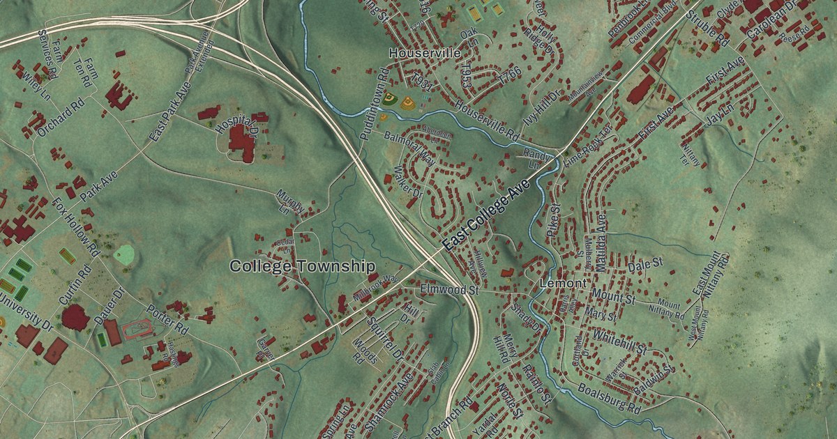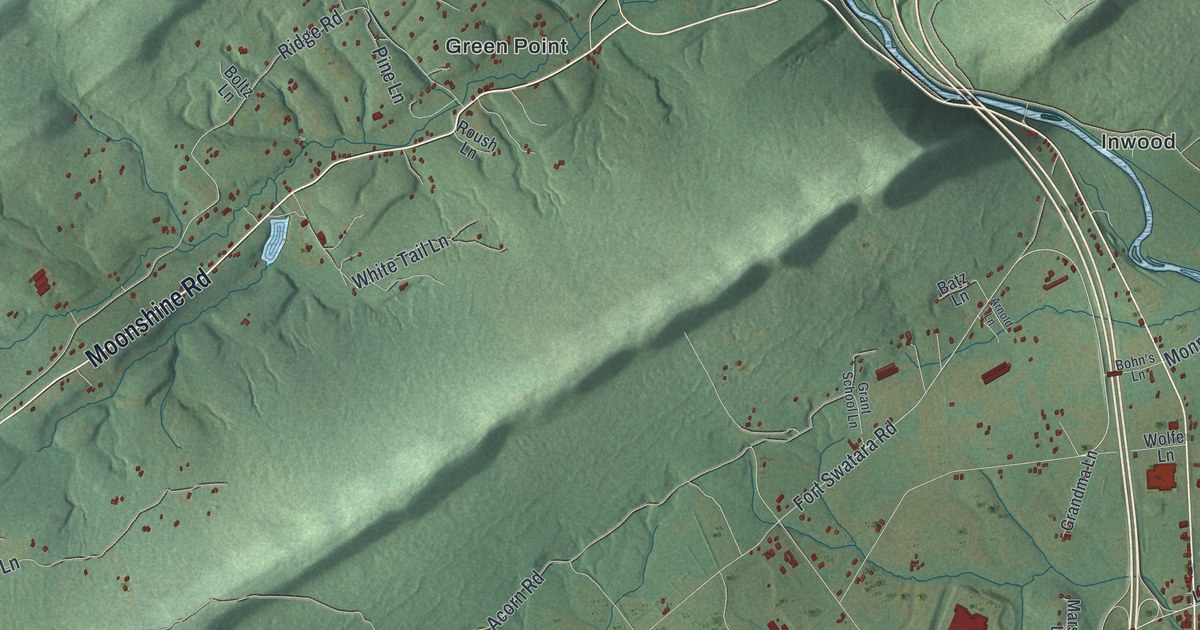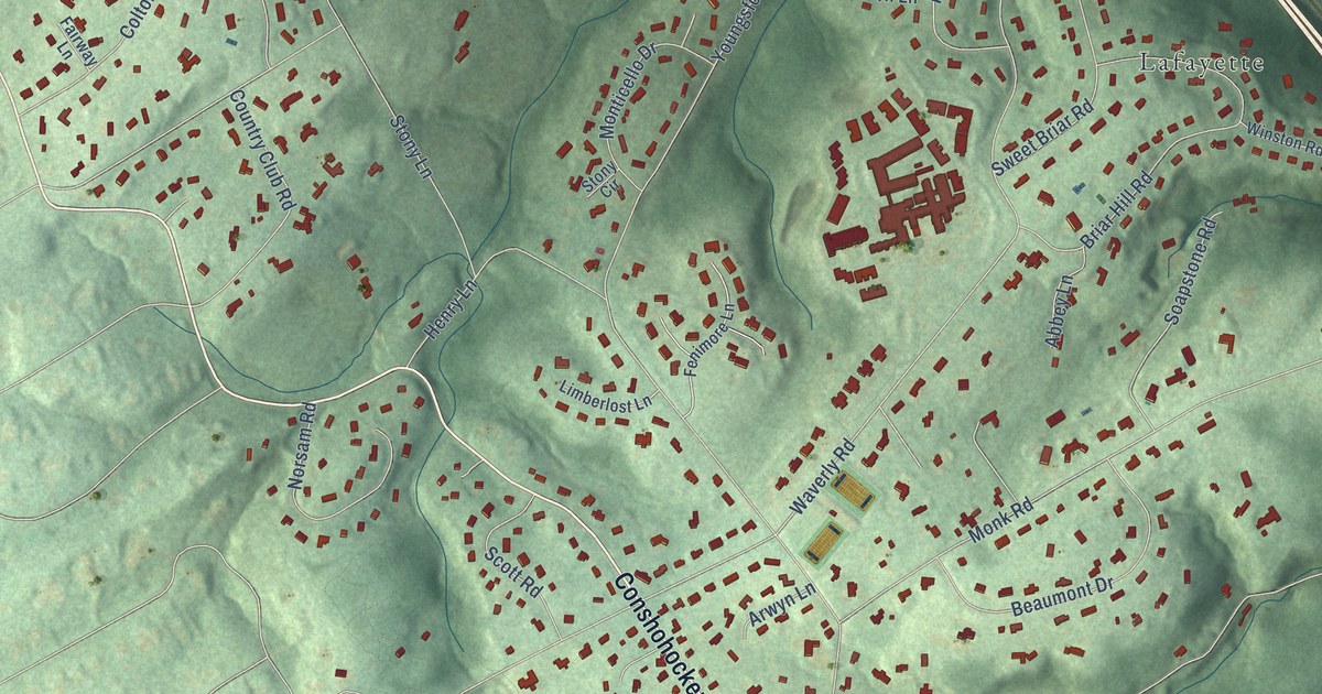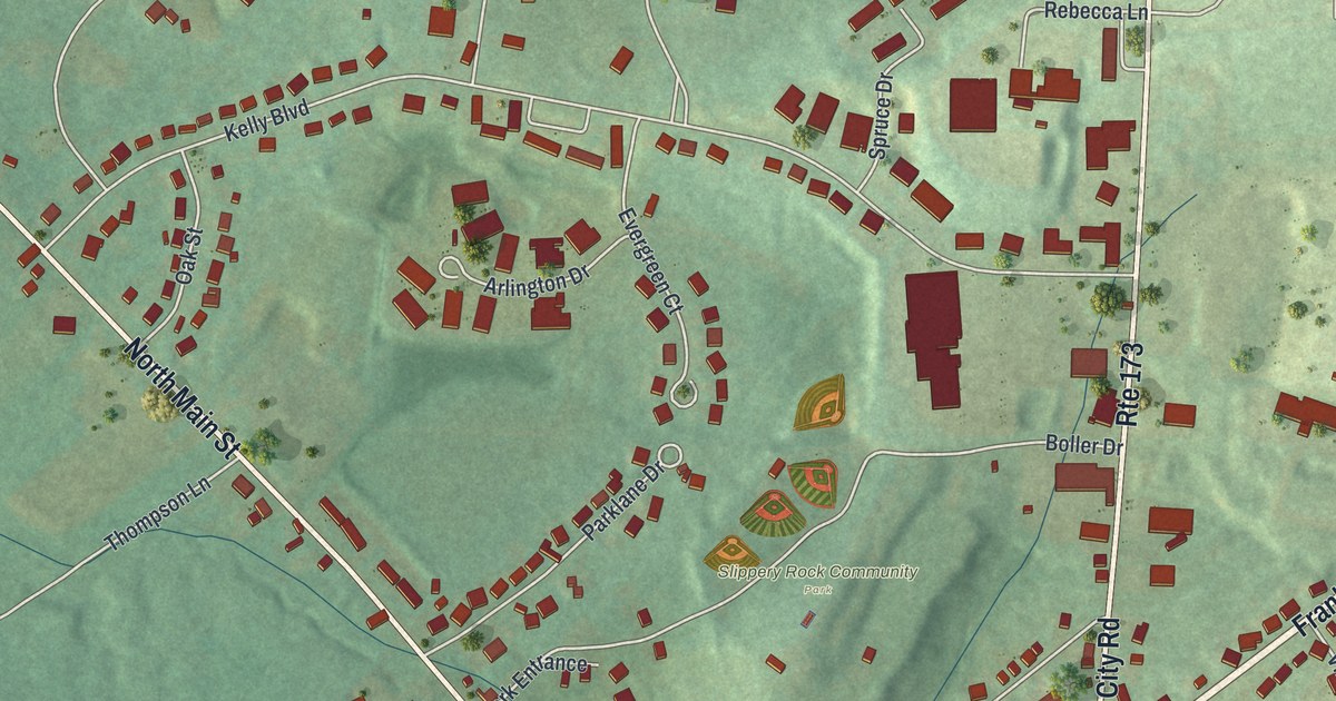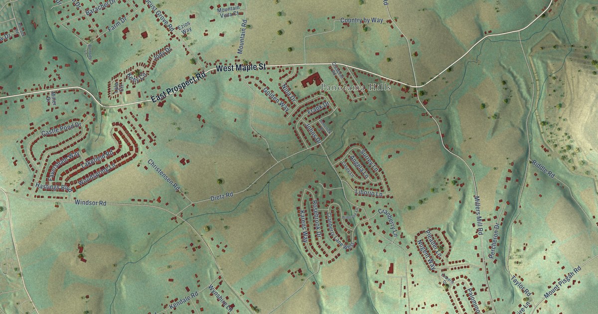
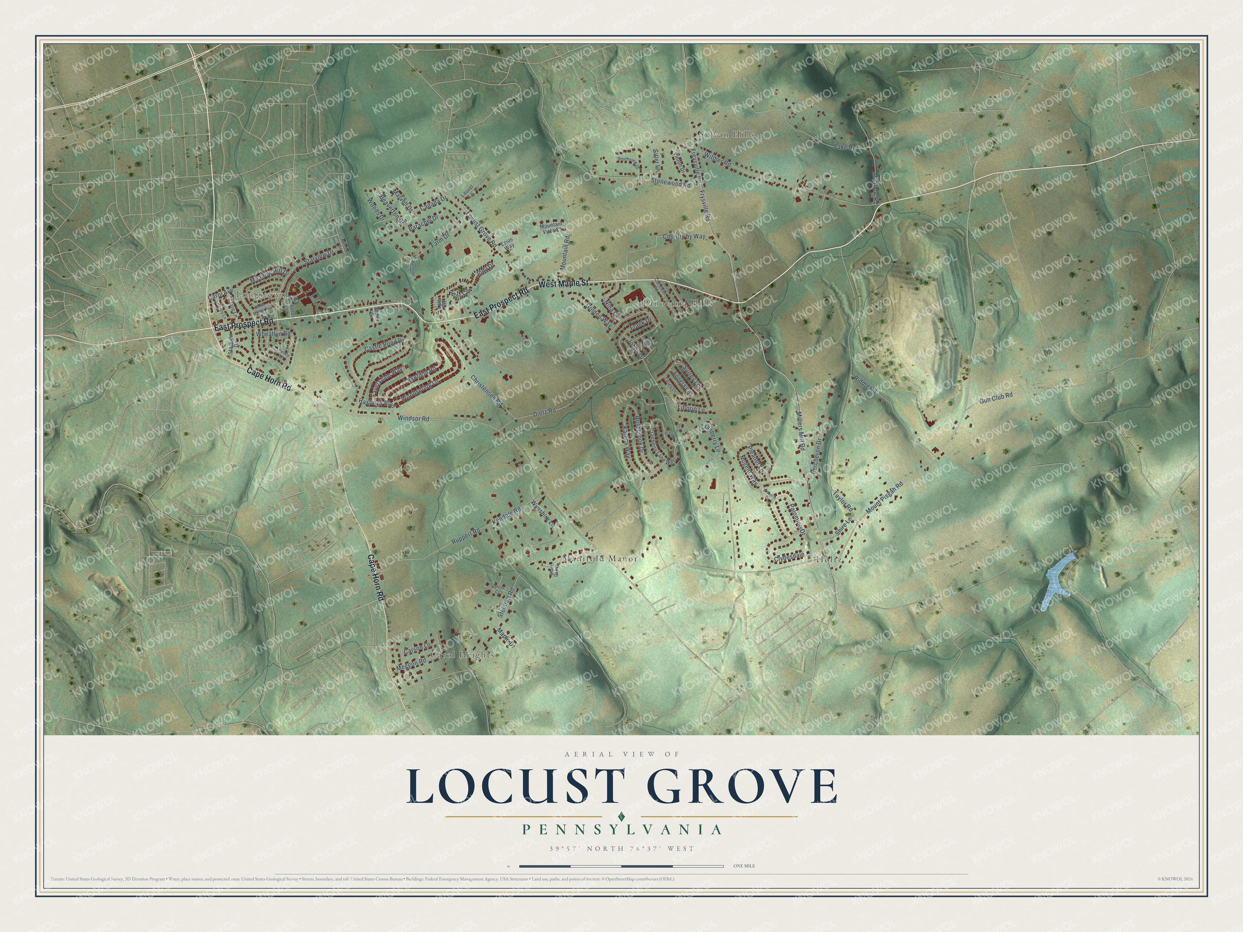
This beautifully detailed map of Locust Grove, Pennsylvania was created in 2026 using aerial imagery combined with modern topographical, census, street and landmark data. It’s a one-of-a-kind view of Locust Grove that combines accurate data with a vintage aesthetic. The map shows every building in its true location, many of the roads carry their names, and the shaded topographic relief shows the shape of the land.
Explore an aerial view of Locust Grove, Pennsylvania
On the map you’ll find Longstown, Sylvan Hills, Holtz, Carol Heights, Panorama Hills, and Manifold Manor, along with West Maple Street, East Prospect Road, Cape Horn Road, Mount Pisgah Road, Freysville Road, Frysville Road, and more. If you look closely you can even find your house accurately drawn in its correct location. Zoom in on the preview to look for yours.
Did You Know?
From Internet Archive: "John Harris, the founder of Harrisburg settled first in this neighboiiiooi John Haldeman, an early pioneer, built one of the first mills in the county at Locust Grove near Bainbridge."
Locust Grove is a community in York County.
Take a closer look at the Locust Grove map
Names on this map
These names are printed on this map.
Places: Longstown, Sylvan Hills, Holtz, Carol Heights, Panorama Hills and Manifold Manor.
Streets and roads: West Maple Street, East Prospect Road, Cape Horn Road, Mount Pisgah Road, Freysville Road, Frysville Road, Millers Mill Road, Dietz Road, Windsor Road, Riddle Road, Mountain Road, Witmer Road.
More street names, A to Z
Angela Lane, Barachel Drive, Beaverton Drive, Black Oak Drive, Burnside Lane, Canada Drive, Carol Avenue, Carson Lane, Casey Lane, Castle Pond Drive, Chardrie Drive, Christensen Road, Clare Lane, Clydesdale, Country by Way, Cranberry Lane, Cranberry Lane West, Crescent Road, Domenick Drive, Ezios Way, Fake Road, Farm Drive, Faversham Way, Frank Drive, Golden Way, Gun Club Road, Hastings Boulevard, Henry Lane, Jody Drive, Johns Drive, Karens Way, Kelly Circle, Kendale Road, Knob Creek Lane, Kohler Court, Lakefield Road, Laurel Lane, Liborio Lane, Locust Grove Road, Lyle Circle, Maple Drive, Marvell Drive, Meadow Hill Drive, Meadow Road, Meggon Road, Miller Drive, Mountain Vista Court, Nicholas Lane, Nina Drive, Nugent Way, Palomino Drive, Penny Lane, Percheron Drive, Pleader Lane, Primrose Lane, Rimrock Road, Rosebrook Drive, Ruppert Road, Shire Lane, Sitler Lane, Southview Drive, Starlight Drive, Starview Drive, Steinfelt Road, Stonewood Road, Surrey Lane, Taylor Road, Vinton Drive, Wheatlyn Road, Woods Drive, Woodspring Lane, Wynshire Lane.
See it on a wall
The Locust Grove map as a framed print. Swipe for more.


This beautifully detailed map of Locust Grove makes an attractive addition to your office, library, or den, and it can even be used to teach children the geography and history of the area. It also makes a great gift for anyone who grew up in Locust Grove or moved away. When you’re done exploring, click here to get your copy of the Locust Grove map.