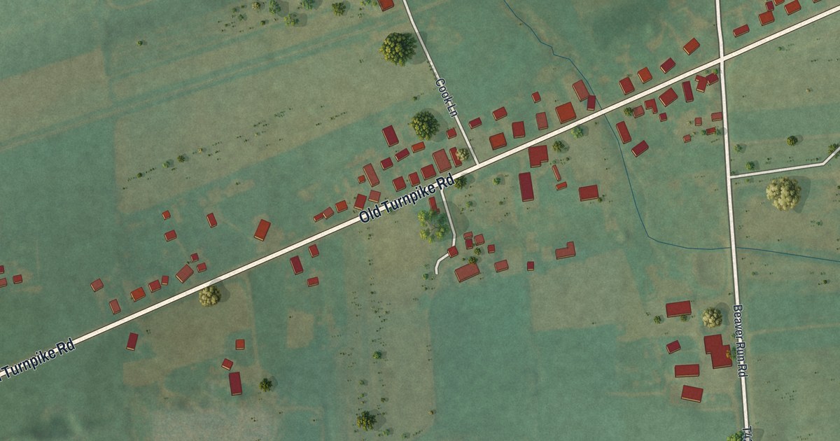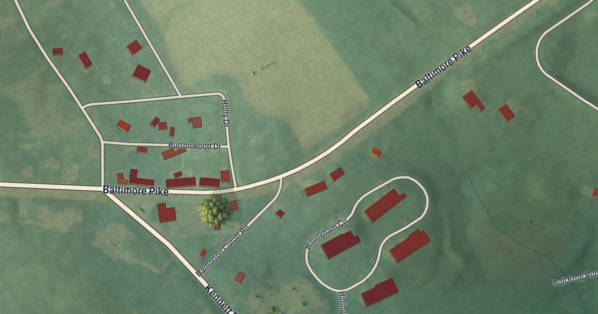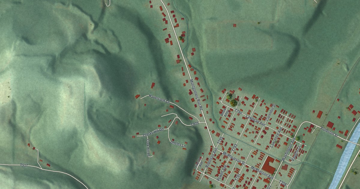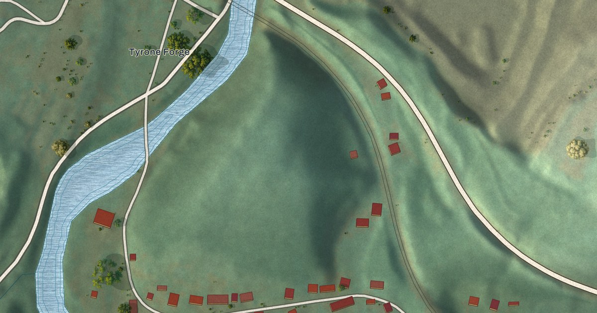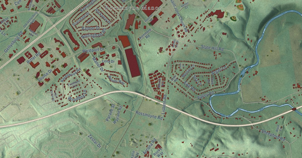
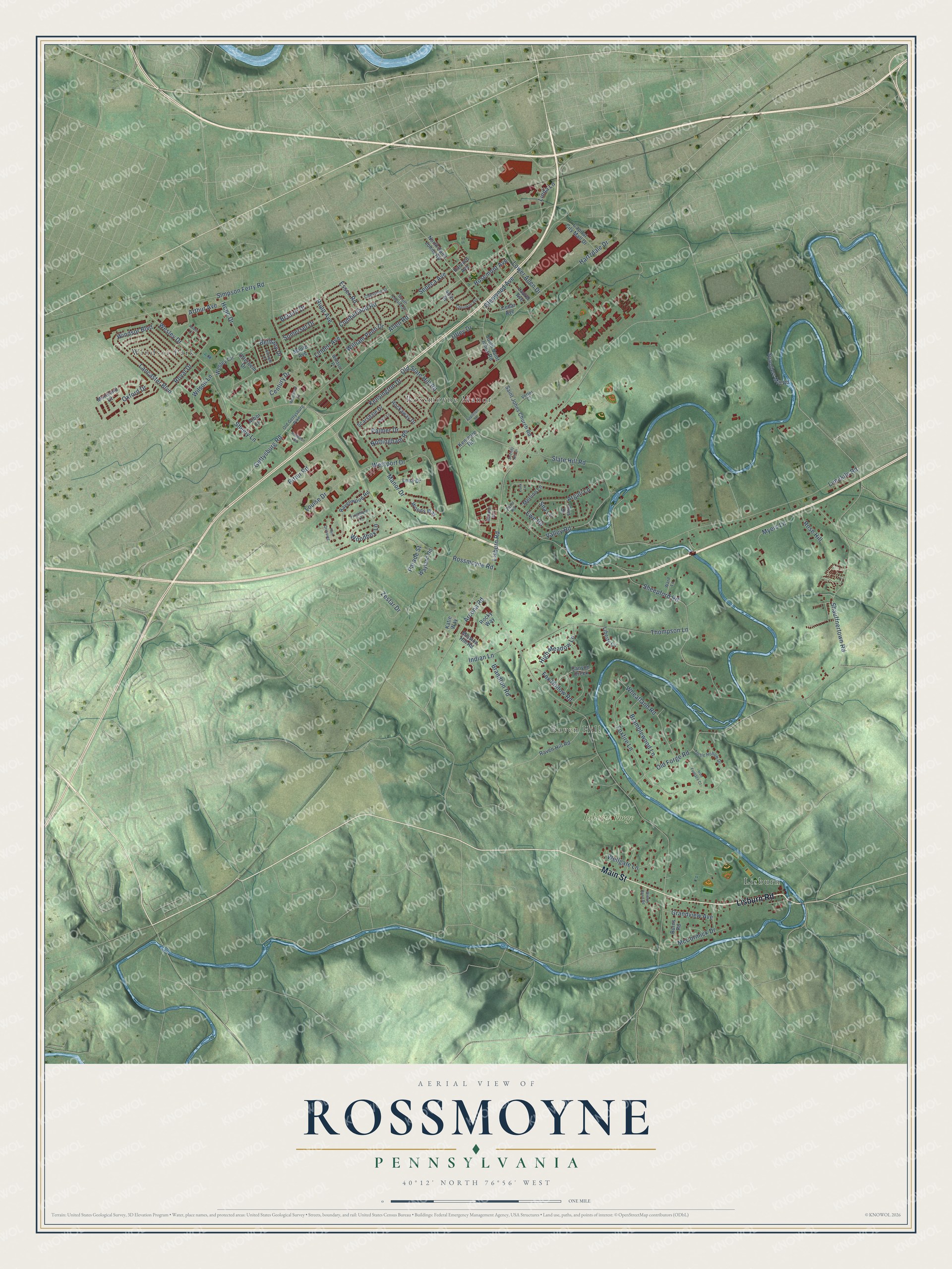
This beautifully detailed map of Rossmoyne, Pennsylvania was created in 2026 using aerial imagery combined with modern topographical, census, street and landmark data. It’s a one-of-a-kind view of Rossmoyne that combines accurate data with a vintage aesthetic. The map shows every building in its true location, many of the roads carry their names, and the shaded topographic relief shows the shape of the land.
Explore an aerial view of Rossmoyne, Pennsylvania
On the map you’ll find Lisburn, Raven Hill, Rossmoyne Manor, Windsor Park, and Liberty Forge, along with Main Street, Lisburn Road, Bethany Drive, Arcona Road, Lancaster Boulevard, Gettysburg Road, Sheepford Road, and more. If you look closely you can even find your house accurately drawn in its correct location. Zoom in on the preview to look for yours.
Did You Know?
From Internet Archive: "The firm has also established a large store at Rossmoyne, where a full line of general merchandise is carried."
Rossmoyne is a community in Cumberland County.
Take a closer look at the Rossmoyne map
Names on this map
These names are printed on this map.
Places: Lisburn, Raven Hill, Rossmoyne Manor, Windsor Park and Liberty Forge.
Streets and roads: Main Street, Lisburn Road, Bethany Drive, Arcona Road, Lancaster Boulevard, Gettysburg Road, Sheepford Road, Rossmoyne Road, Limekiln Road, Slate Hill Road, Hartzdale Drive, Simpson Ferry Road.
More street names, A to Z
40th Street, Albright Drive, Allen Road, Appleton Street, Arbor Lane, Argali Lane, Arthur Avenue, Audubon Road, Belaire Drive, Bramblewood Lane, Brandton Road, Briar Lane, Burns Road, Canyon Creek, Capital City Mall Drive, Cedar Avenue, Century Drive, Cherokee Avenue, Chestnut Street, Cumberland Road, Essex Road, Ewe Road, Firethorn Lane, Foxfire Lane, Fox Hollow Road, Glenwood Avenue, Grandview Avenue, Hart Crossing, Harvard Avenue, High Meadow Lane, Hope Drive, Indian Lane, Iron Furnace Court, Katie Way, Kenmore Road, Kensington Drive, Laurel Avenue, Lena Drive, Liberty Cv, Linda Lane, Linden Avenue, Lonk Lane, Louise Drive, Lower Allen Drive, Manor Drive, Maple Avenue, McCormick Drive, Meridian Way, Merlino Lane, Mission Hill Road, Moreland Court, Myers Lane, North Saint Johns Road, Nottingham Road, Old Forge Road, Old Gettysburg Pike, Old Slate Hill Road, Otterbein Drive, Ovis Drive, Oxford Drive, Palmer Drive, Parade Street, Raven Hill Road, Ravenwood Road, Ritter Road, Robin Court, Rockaway Drive, Rocky Way, Rose Hill, Rosemont Avenue, Royal Drive, Rupp Avenue, Saint Johns Church Road, Scarsdale Drive, Seneca Avenue, Shauffnertown Road, Sheely Lane, Sna Lane, Society Hill Drive, Somerset Drive, South Locust Street, South Saint Johns Road, Spanglers Mill Road, Thompson Lane, Turtle Hollow Drive, Utley Drive, Valley Road, Vetter Court, Ward Lane, Wayland Road, Wellgate Lane, Wesley Circle, Wesley Drive, Westport Drive, Wheatland Road, William Penn Drive, Willow Bend Road, Wilson Lane, Windsor Boulevard, Windsor Place, Woodbox Lane, Woodland Street, Woods Way, Zenu Road, Zestar Drive.
See it on a wall
The Rossmoyne map as a framed print. Swipe for more.


This beautifully detailed map of Rossmoyne makes an attractive addition to your office, library, or den, and it can even be used to teach children the geography and history of the area. It also makes a great gift for anyone with Rossmoyne roots. When you’re done exploring, click here to get your copy of the Rossmoyne map.