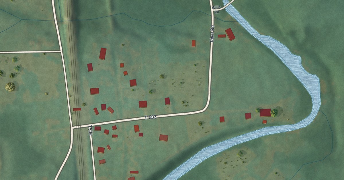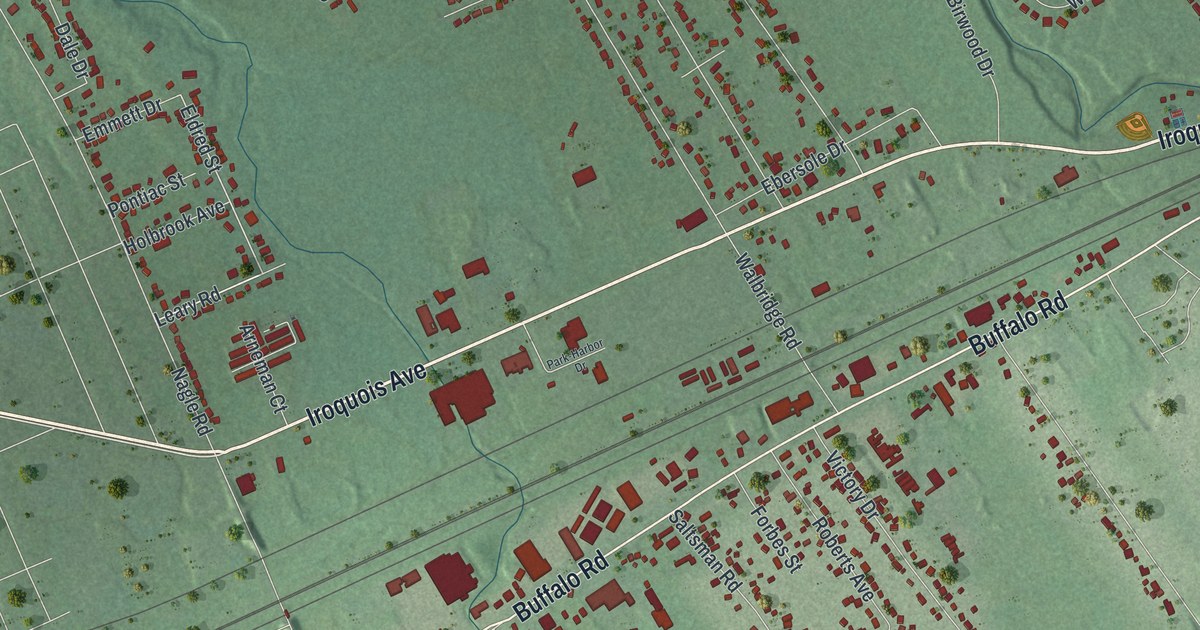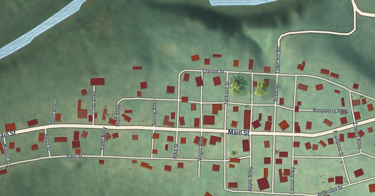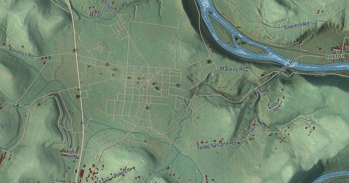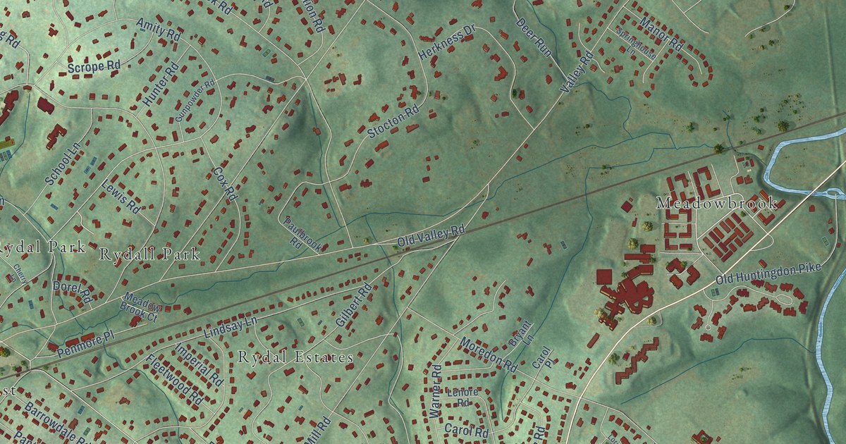
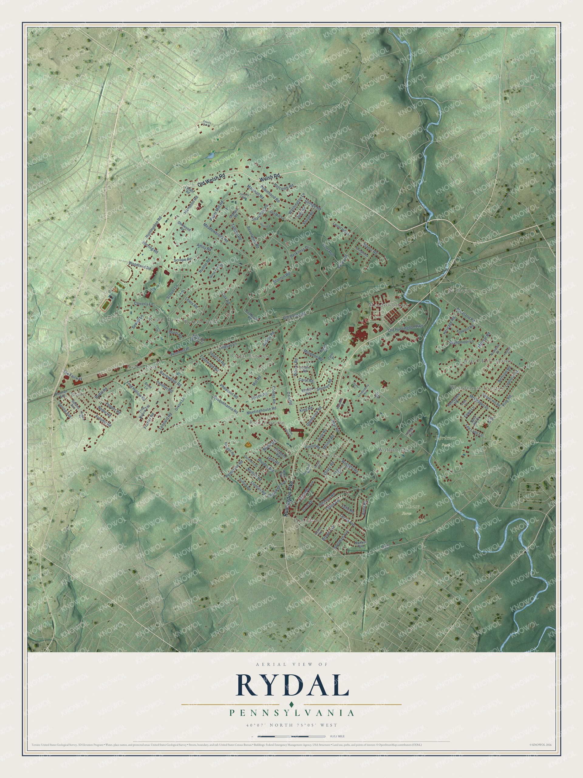
This beautifully detailed map of Rydal, Pennsylvania was created in 2026 using aerial imagery combined with modern topographical, census, street and landmark data. It’s a one-of-a-kind view of Rydal that combines accurate data with a vintage aesthetic. The map shows every building in its true location, many of the roads carry their names, and the shaded topographic relief shows the shape of the land.
Explore an aerial view of Rydal, Pennsylvania
On the map you’ll find Fox Chase Farm, Lorimer Park, Noble, Bethayres, Rydall Park, Hollywood, Rydal Green, Wyndmoor Estates, Rydal East, Meadowbrook, Walnut Hill, Chapel Hill Manor, and more. If you look closely you can even find your house accurately drawn in its correct location. Zoom in on the preview to look for yours.
Did You Know?
From Internet Archive: "Troutwine, this land being located near Rydal Station, Alontgomery county, and resided there up to the time of his demise, September 20, 1892, in the ninetieth year of his age."
Rydal is a community in Montgomery County.
Take a closer look at the Rydal map
Names on this map
These names are printed on this map.
Places: Fox Chase Farm, Lorimer Park, Noble, Bethayres, Rydall Park, Hollywood, Rydal Green, Wyndmoor Estates, Rydal East, Meadowbrook, Walnut Hill, Chapel Hill Manor, Rydal Estates, Crosswicks and Rydal Park.
Streets and roads: Old Welsh Road, Welsh Road, Huntingdon Pike, Rydal Road, Huntingdon Road, Lee Lynn Lane, Susquehanna Road, Washington Lane, Valley Road, Moredon Road, Mill Road, Meetinghouse Road.
More street names, A to Z
Amity Road, Anna Road, Arthur Avenue, Autumn Road, Ballytore Road, Barrowdale Road, Bertram Road, Biddle Road, Borie Lane, Brown Avenue, Bryant Lane, Buck Hill Drive, Carol Place, Carol Road, Caverly Road, Chapel Hill Road, Cherokee Avenue, Cherry Lane, Claire Avenue, Clarendon Road, Cloverly Lane, Coates Road, Country Club Drive, Cox Road, Dale Road, Deer Run, Dixon Lane, Dorel Road, Elizabeth Road, Fawn Lane, Felix Road, Fleetwood Road, Foothill Drive, Frazier Road, Frog Hollow Road, Frog Hollow Terrace, George Road, Gilbert Road, Glenbrook Road, Graham Road, Gunpowder Road, Hampton Road, Harpers Lane, Harriett Road, Henrietta Avenue, Heritage Road, Herkness Drive, Herring Road, Hilltop Terrace, Holcomb Road, Hoyt Road, Hunter Road, Imperial Road, Irvin Road, Jamison Lane, Jane Road, Jody Road, June Road, Kenwood Road, King Road, Laurel Hill Lane, Lenore Road, Leona Avenue, Leopard Road, Lewis Road, Lindsay Lane, Linton Road, Lippincott Road, Llanfair Road, Lloyd Road, Londonderry Avenue, Lori Lane, Lorimer Avenue, Lynam Road, Mankin Avenue, Manor Road, Marie Road, Marshall Road, McFadden Drive, Meadow Brook Court, Meadowbrook Road, Meinel Road, Melmar Road, Michael Road, Moreland Road, Morgan Road, Newbold Road, Nicholas Drive, Noble Road, Norfolk Road, Old Ford Road, Old Huntingdon Pike, Old Mill Lane, Old Valley Road, Oliver Road, Panther Road, Paper Mill Road, Paulbrook Road, Pembroke Road, Penmore Place, Pennypack Road, Pepper Road, Pheasant Road, Pine Road, Revelation Road, Rhodes Avenue, Robinhood Road, Rodman Avenue, Roseland Avenue, Rydal Green Drive, School Lane, Scrope Road, Sewell Lane, Shady Lane, Sharon Road, Sharpless Road, Sherman Avenue, Sherwood Road, Spring Avenue, Springhouse Lane, Stephen Road, Stocton Road, Suffolk Road, Tallyho Road, The Fairway, Upland Avenue, Warner Road, Wesley Avenue, Wingate Road, Woodland Road, Wrack Road, Wyndmoor Lane.
See it on a wall
The Rydal map as a framed print. Swipe for more.


This beautifully detailed map of Rydal makes an attractive addition to your office, library, or den, and it can even be used to teach children the geography and history of the area. It also makes a great gift for anyone who grew up in Rydal or moved away. When you’re done exploring, click here to get your copy of the Rydal map.